Want to explore less-crowded parts of Slovenia? Interested in Slovenian wild flowers? Looking for interesting tips or activities? You came to the right place – explore our hikes and gallery of Slovenian flowers
Latest Articles
Mrzli Vrh (Matajur) (19.1 km, Δ=704 m)
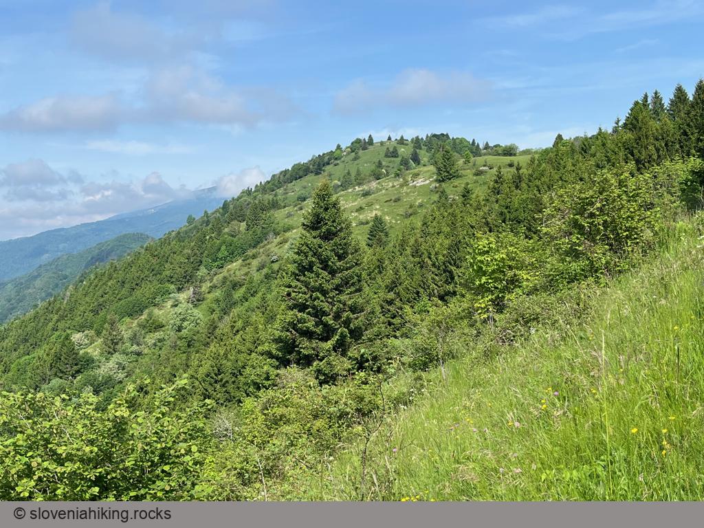
Mrzli Vrh is the southernmost peak in the Matajur ridge, easy to reach with a mountain bike on a gravel road toward Idrska planina
Kolovrat (16.7 km, Δ=660 m)
Kolovrat is a long ridge west of the Soča Valley, renowned for the fierce battles that took place during World War I. We’ll use the asphalt roads around it to make a lovely round trip starting above Livek.
Kuk and Gradež above Hrastovlje (507 m, Δ=410 m, 3 hours)
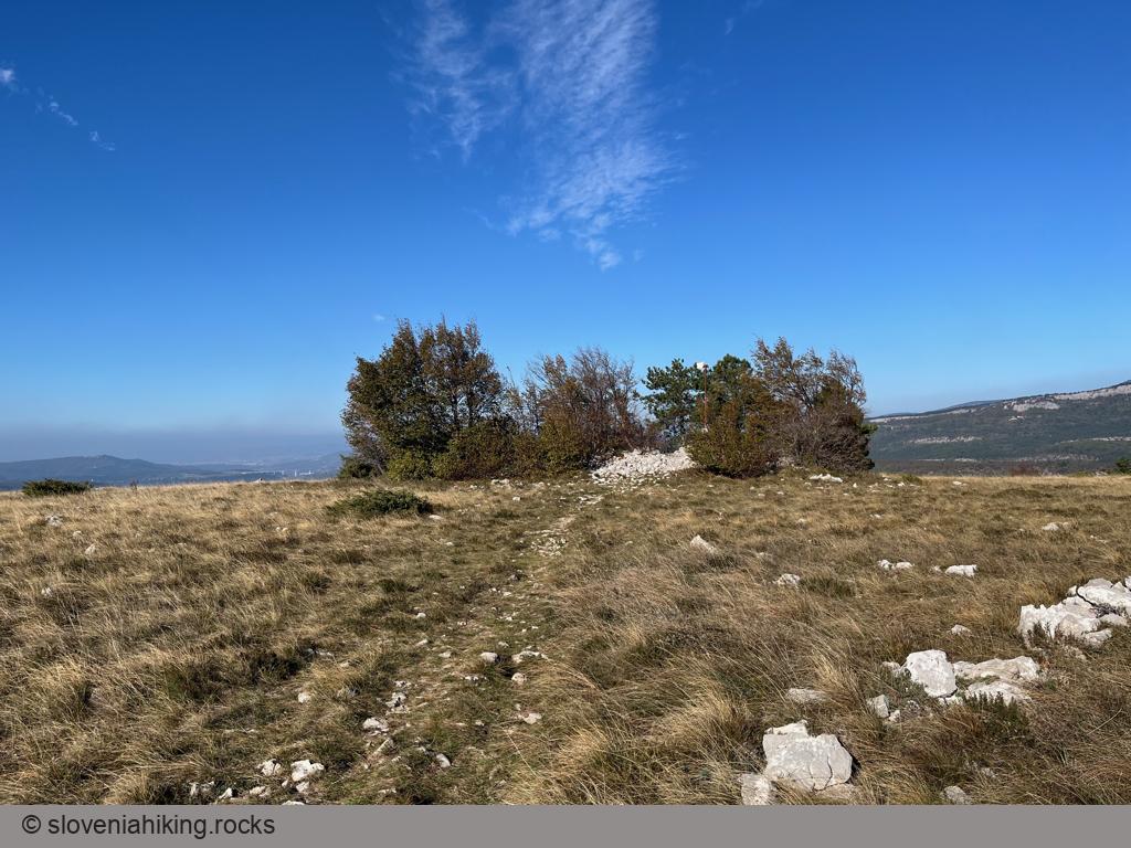
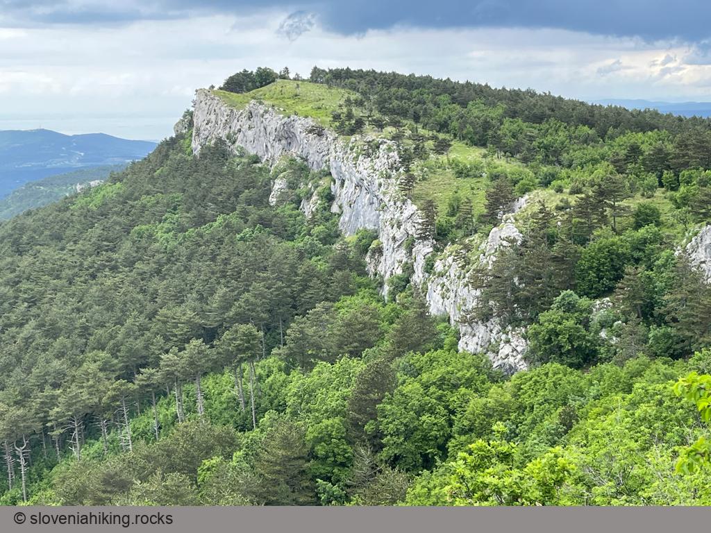
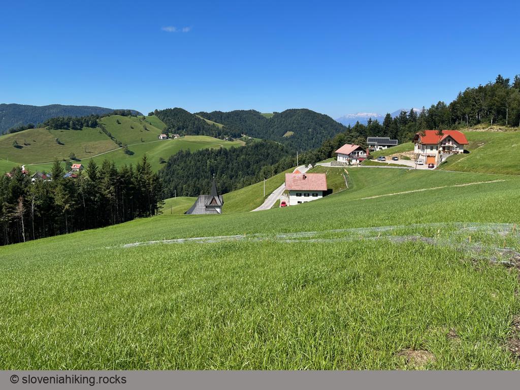
Veliki Gradež and Kuk are barely visible bumps (with incredible vistas) at the edge of an expansive steppe-like meadow east of Hrastovlje and Rižana Valley.
Zajavornik Alp from Hotel Pokljuka (1291 m, Δ=100 m, 2 hours)
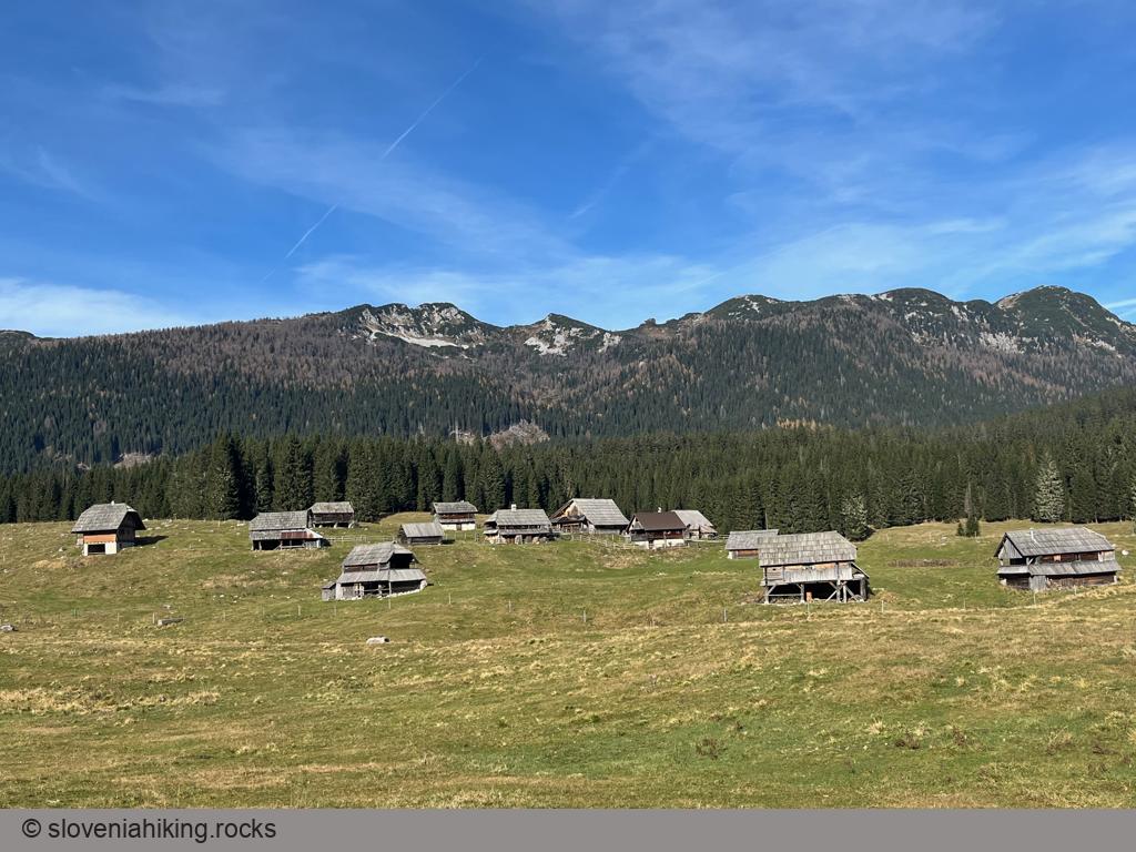
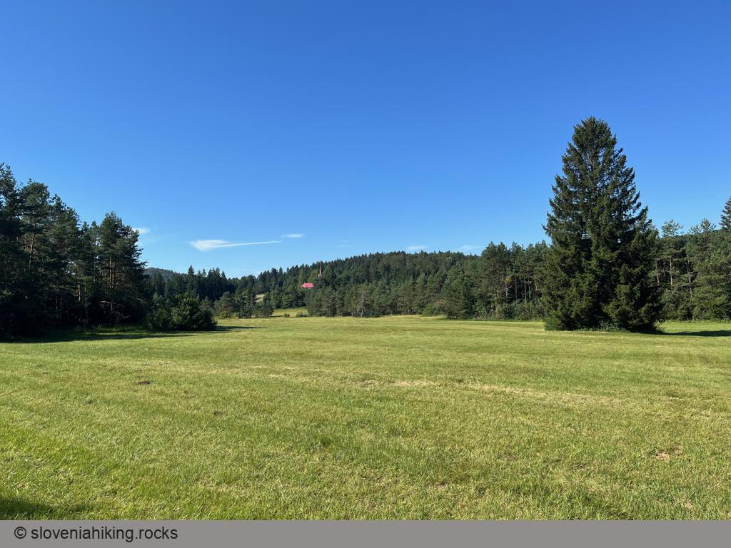
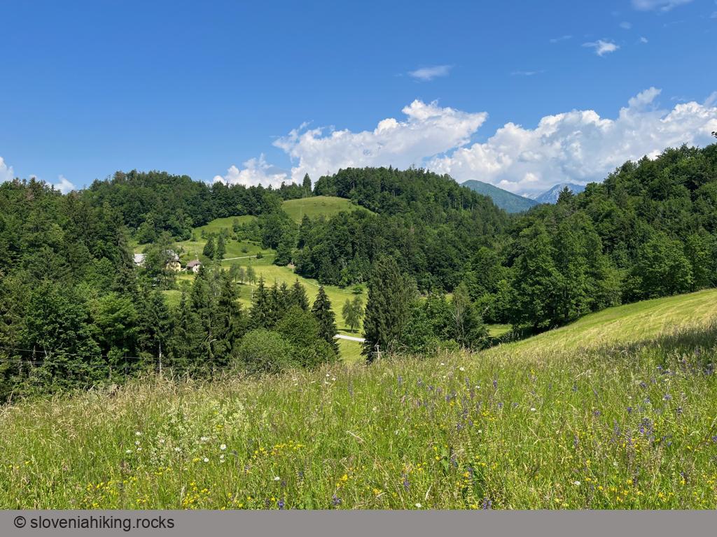
Zajavornik is a large sunny alp in the middle of the Pokljuka plateau with a beautiful view of the ridge between Pokljuka and Krma Valley. Hiking there from Hotel Pokljuka (former Sport Hotel) takes less than an hour on a (mostly) level gravel road, making it an ideal hike with small kids.
Konjščica Alp (1440 m, Δ=200 m, 2 hours)
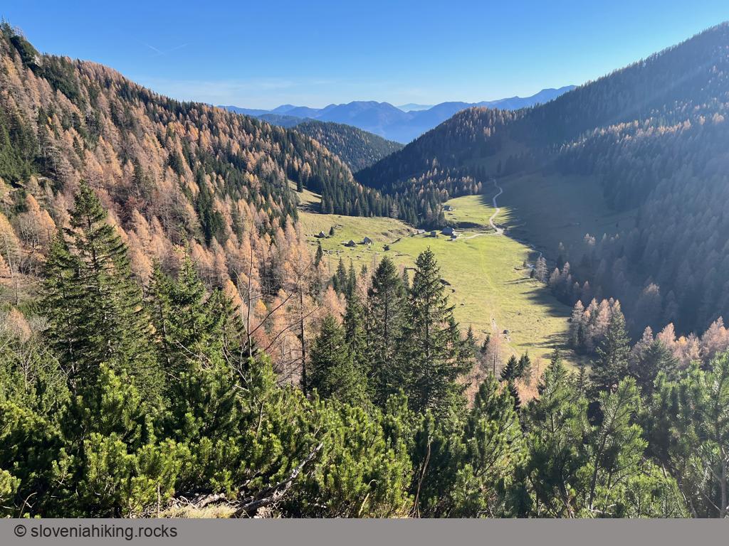
Konjščica is a sunny alp on the western edge of the Pokljuka plateau, nestled between the Viševnik and Ablanca ridges. Getting there from Rudno Polje is an easy hike, making it a perfect half-day family trip.
Lake Cerknica from Lož Valley (32.2 km, Δ=500 m)
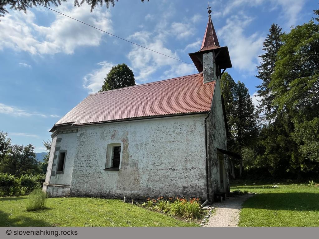
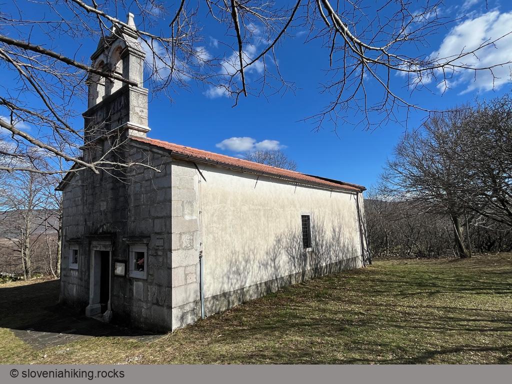
During this trip, you’ll enjoy the foggy morning (hint: start early) fields of Lož Valley, pass by the tiny church of Saint Ana below Križna Gora, see where the Lake Cerknica is supposed to be, and explore the Snežnik forests.
Križna Gora above Lož (9.2 km, Δ=281 m)
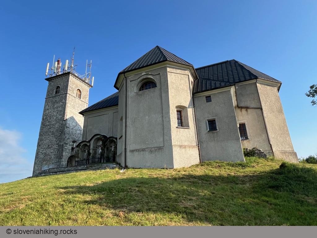
Križna Gora is a peak on a ridge between Lake Cerknica and Lož Valley. From here, one can enjoy a nice view of the nearby Karst plateaus and the surrounding hills. The peak has been a fortified settlement since ancient times, made even better with the addition of the Church of the Saint Cross in the 16th century.
Gornje Poljane (19.6 km, Δ=580 m)
Gornje Poljane (1065 m) is the highest-lying hamlet in southern Slovenia. You can hike there on a waymarked trail from Viševek or bike on a gravel road starting near Babna Polica.
Velike Bloke from Cerknica (29.2 km, Δ=540 m)
Instead of hiking or biking to Slivnica, let’s do a roundtrip around it, exploring the hidden green valleys of Menišija and Karst plateaus of Bloška Planota.
Jampršnik (649 m, Δ=260 m, 2 hours)
Jampršnik is a barely noticeable peak above the overhanging cliffs of Karst Edge. If you find yourself in Zazid but haven’t been to Slovenian Istria before, don’t waste time going there; the hike to Lipnik or Kavčič is infinitely more picturesque. However, if you’ve visited most of the other peaks along the Karst Edge, Jampršnik might be an attractive alternative destination.
Praproče and Marija Snežna (467 m, Δ=240 m, 3 hours)
The church of Marija Snežna (Santa Maria Maggiore), hidden on a wooded hill north of the Karst Edge, is a beautiful destination for a half-day hike if you love hiking around Črni Kal but have exhausted all the obvious choices.
Šentviška Gora Roundtrip (14 km, Δ=350 m)
Biking from Idrijca Valley to Šentviška Gora (a plateau high above the valley) is nice; a roundtrip around the plateau is a beautiful experience. We’ll explore the sunny meadows and forests between Pečine and Šentviška Gora.
Trstelj from Komen (27.1 km, Δ=590 m)
I noticed a gravel road leading to the Trstelj mountain hut the last time I was there and decided to use it for a bike trip starting in Komen. I tried to avoid the asphalt roads as much as possible, but it’s not hard to find a route that will bring you to Trstelj even if you have a road bike.
Strug Gorge and Klavže (25.8 km, Δ=370 m)
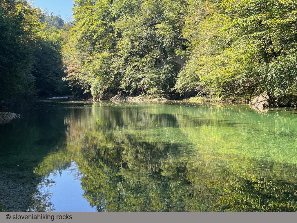
Love biking along sapphire crystal-clear streams with a bit of history on the side? You must drop by Idrija, bike through the Strug Gorge, and visit klavže (huge water barriers used to transport wood downriver).
Idrijske Krnice (19 km, Δ=810 m)
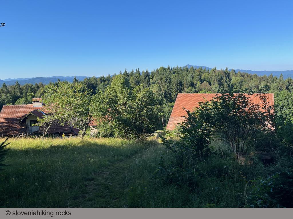
Idrijske Krnice is a sparsely-populated hamlet on a high-lying plateau between the Idrijca and Kanomlja valleys. Getting there is tough, but the views are well worth the effort.
Strelovec (1763 m, Δ=1040 m, 6 hours)
Strelovec is a peak in the ridge east of Logarska Dolina (Logar Valley) with a magnificent 360-degree panorama of surrounding hills and mountains.
Icmanikova Planina and Logarska Peč (1533 m, Δ=780 m, 4 hours)
Icmanikova Planina (Icmanik Alp) is the highest-lying alp on the eastern slopes of Logarska Dolina (Logar Valley); the view from the nearby Logarska Peč is probably the best one in Logarska Dolina.
Okrešelj From Logarska Valley (1390 m, Δ=370 m, 2 hours)
Okrešelj is a phenomenal amphitheater at the end of Logarska Dolina (Logar Valley), surrounded by steep northern walls of the majestic peaks belonging to the main ridge of Kamnik-Savinja Alps.
Plesnikova Planina (1319 m, Δ=560 m, 3 hours)
Plesnikova Planina (Plesnik Alp) is a rarely-visited alp on the eastern slopes of Logarska Dolina (Logar Valley) with a lovely view of the surrounding mountains.
Around Bovec: Čezsoča, Jablanca, Koritnica (599 m, Δ=400 m, 3 hours)
We were staying in Bovec in the lovely House Natura and wanted to walk for a few hours, but we didn’t dare to go high into the mountains due to unstable weather. Our solution: a hike along the many trails around Bovec.

