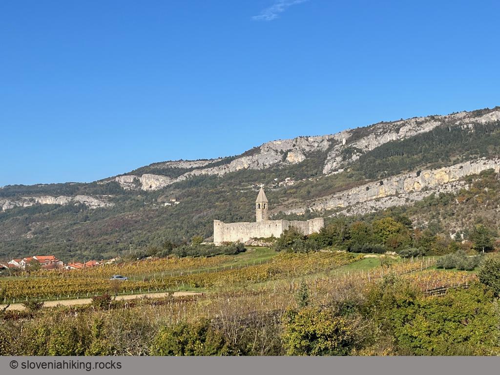
Hiking in Slovenia » Slovene Istria » Kuk and Gradež above Hrastovlje
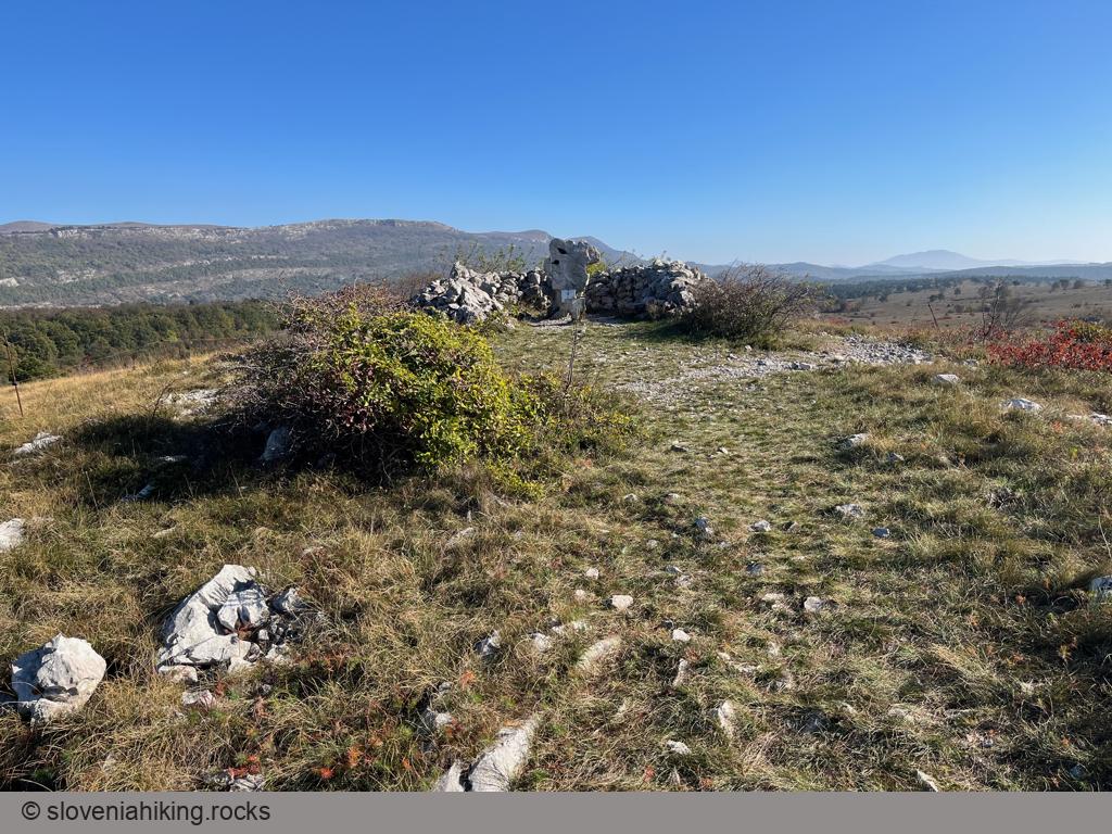
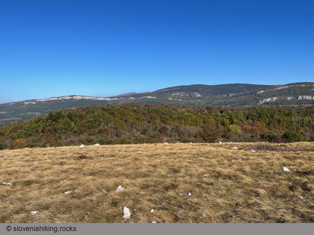
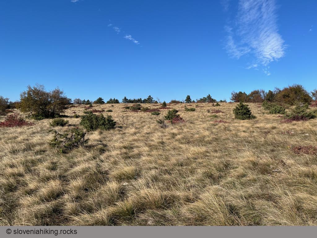
Veliki Gradež and Kuk are barely visible bumps (with incredible vistas) at the edge of an expansive steppe-like meadow east of Hrastovlje and Rižana Valley.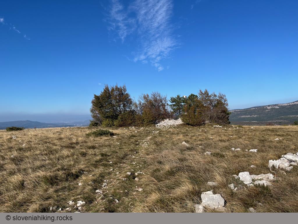
At a Glance
- Difficulty
- Easy hike on gravel roads and dirt trails
- Altitude
- 507 m
- Average time
-
Hrastovlje – Dol – Gradež – Kuk: 1 hour 40 minutes
Kuk – Hrastovlje: 1 hour
Total: 3 hours
- Elevation gain
- 410 m
- Coordinates
-
Start: 45.509500,13.900605
Peak: 45.485013,13.917515
Hrastovlje – Dol – Gradež – Kuk
- Park in Hrastovlje behind the Švab restaurant. There’s another smaller parking spot closer to the church.
- Follow the waymarks going left of the church toward Podpeč.
- At a T-junction after the last houses, turn right onto a gravel trail descending into the Rižana valley.
- After crossing the valley, turn right to reach the gravel road Dol – Zanigrad.
- Turn right onto the gravel road, then descend on the asphalt one toward the village square.
- Hike straight through the village and onto a gravel road ascending toward Veliki Gradež.
- Keep going straight until you reach the meadows around Veliki Gradež.
- After visiting the uninspiring “peak” of Gradež, follow the signs for Kuk. Take a break and enjoy the views.
Returning to Hrastovlje
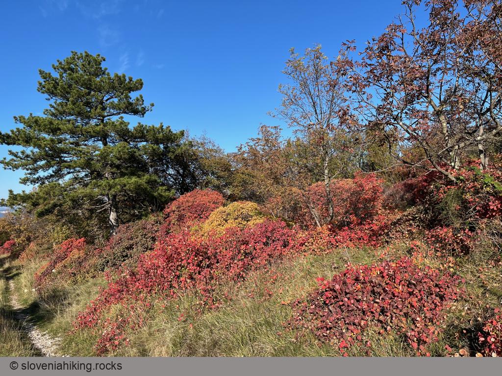
- Descend toward Lačna, then turn right onto the first dirt trail leading into a thin forest (in November 2024, that would be just after the electric fence).
- The trail quickly turns into a gravel road that brings you to Hrastovlje cemetery. Continue onto the asphalt one and descend to Hrastovlje.
Alternatively, you could hike to Lačna and return to Hrastovlje using the marked footpath Lačna–Hrastovlje.
Photo Gallery
Map of the Route
The map shows the path we took as recorded by the GPS receiver. Never trust a GPS track wholeheartedly; rely on your senses and maps.