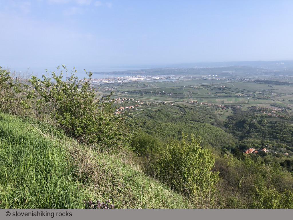
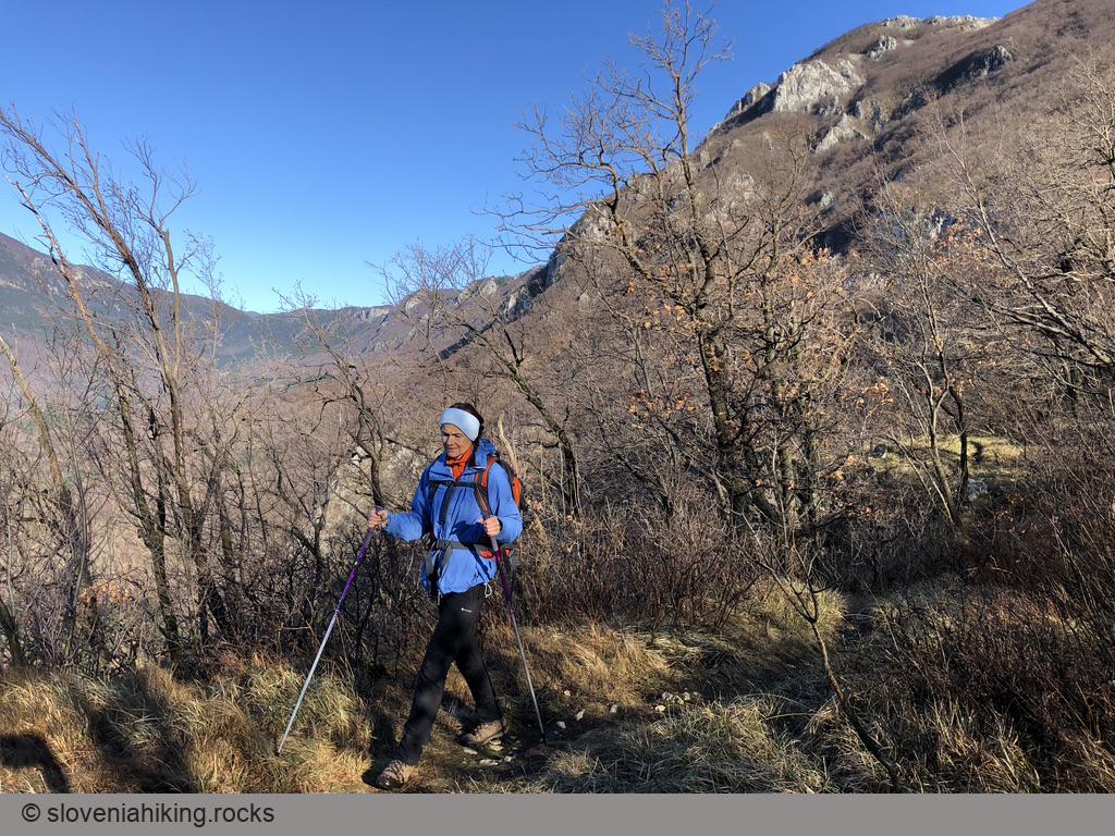
Regions » Primorska
On this page:
- Karst Plateau
- Slovene Istria
- Vipava Valley
- Hikes or biking tours with detailed descriptions
- Other hikes in this region
- Coming Soon
Finally, the whole Soča valley belongs to Primorska: you’ll find hikes in that region under Julian Alps
Notes
- Red dots on the map are hiking trips with English description;
- Green dots are biking tours.
- Gray dots are hikes without an English description. You might still want to look at the map, enjoy the photos, or use Google Translate on Slovenian text .
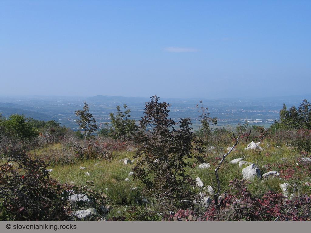
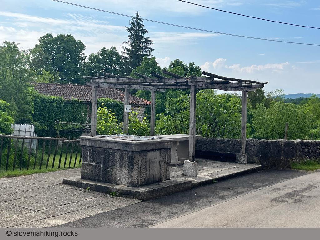
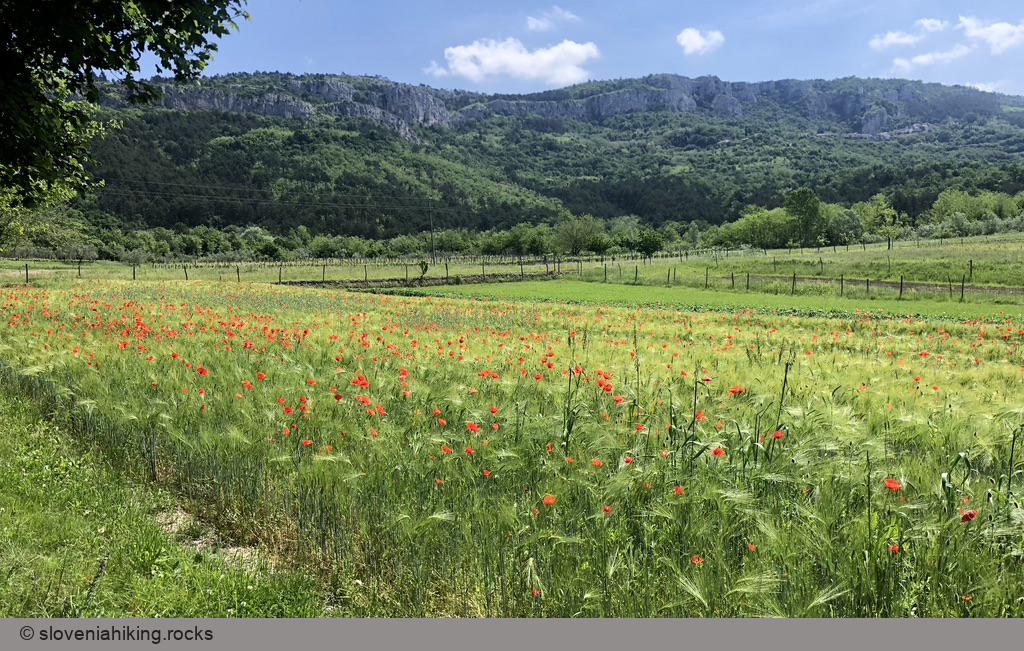
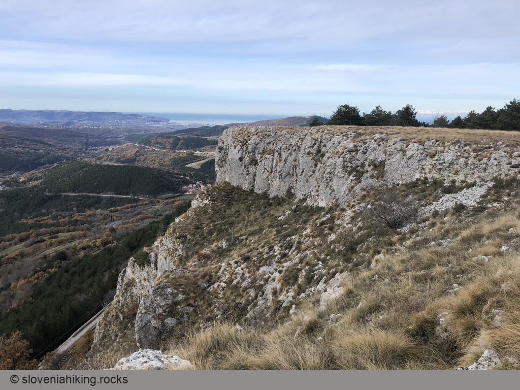
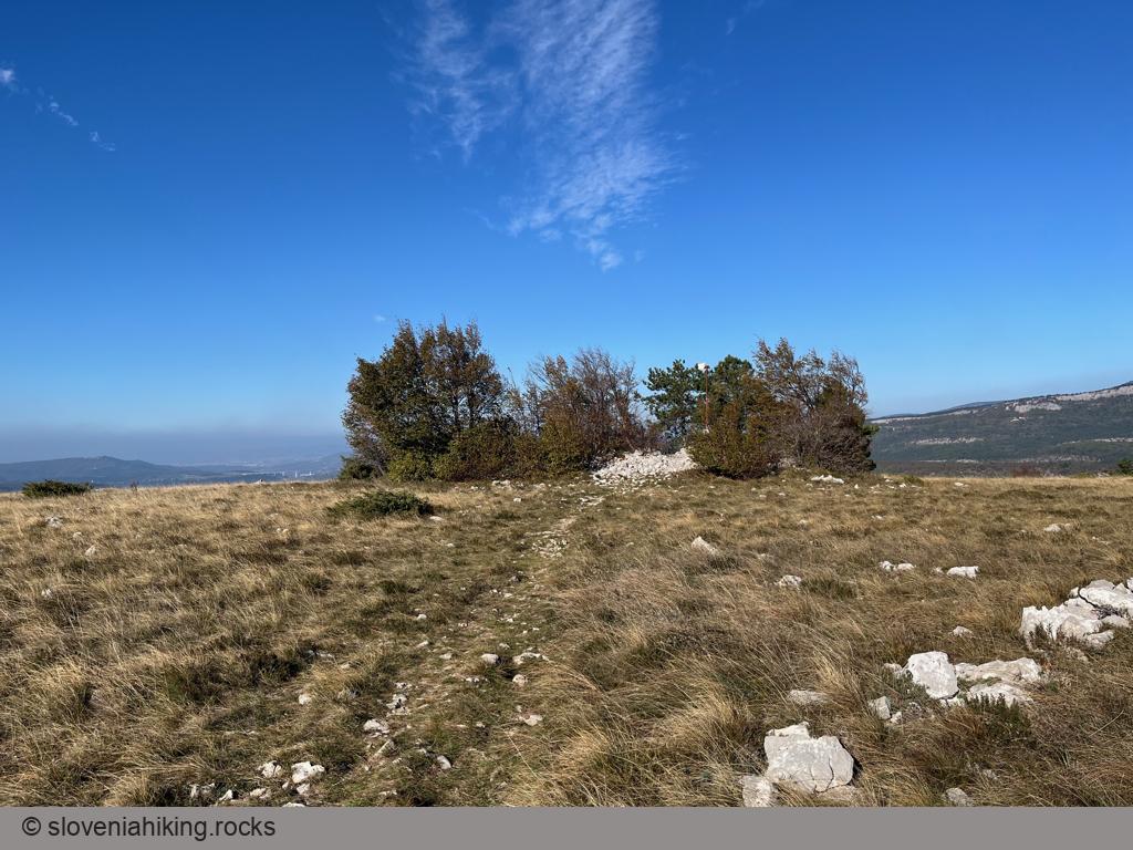
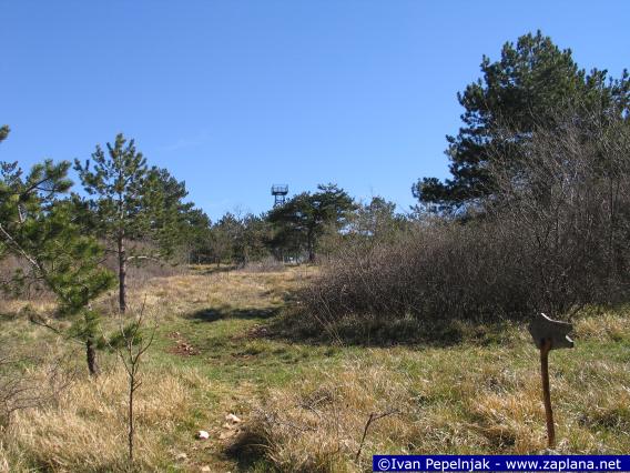
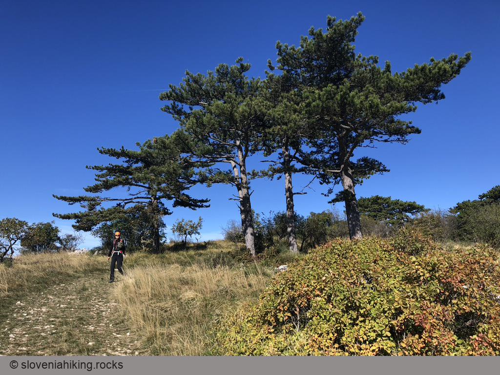
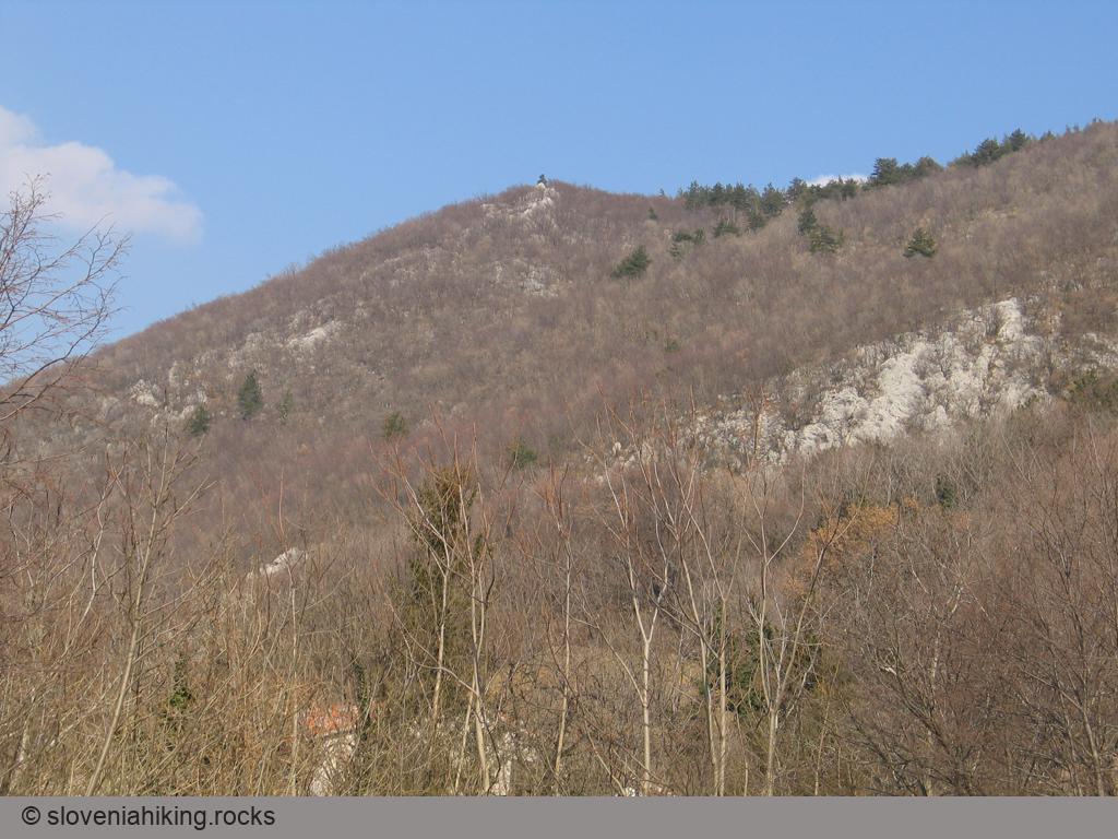
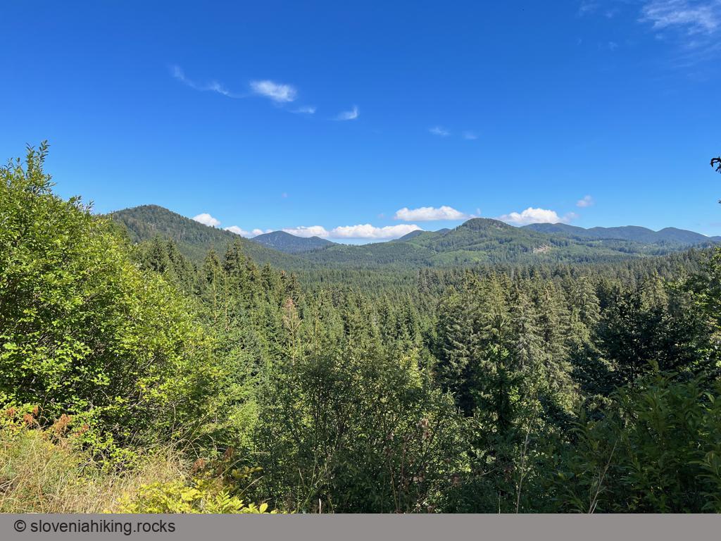
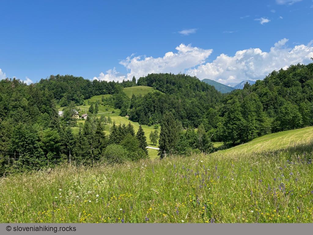
Karst Plateau
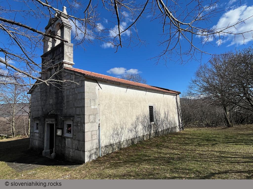
Cerje (343 m, Δ=150 m, 1.5 hour)
Exploring Karst: From Hruševica to Kosovelje (17.7 km, Δ=160 m)
Exploring Karst: Lukovec and Mali Dol (17.5 km, Δ=290 m)
Exploring Karst: Pliskovica – Tupelče (18.5 km, Δ=260 m)
Karst Villages between Hruševica and Pliskovica (16.3 km, Δ=210 m)
Kokoš from Lokev (670 m, Δ=210 m, 2.5 hours)
The Path of Nine Ponds (6.5 km, Δ=100 m)
Trstelj from Komen (27.1 km, Δ=590 m)
Other hikes in this region
- Branik - Pedrovo (380 m, Δ=300 m, 2 hours)
- Črni hribi: from Italian border to Renče peak (463 m, Δ=400 m, 4.5 hours)
- Trstelj from Dornberk (643 m, Δ=540 m, 3 hours)
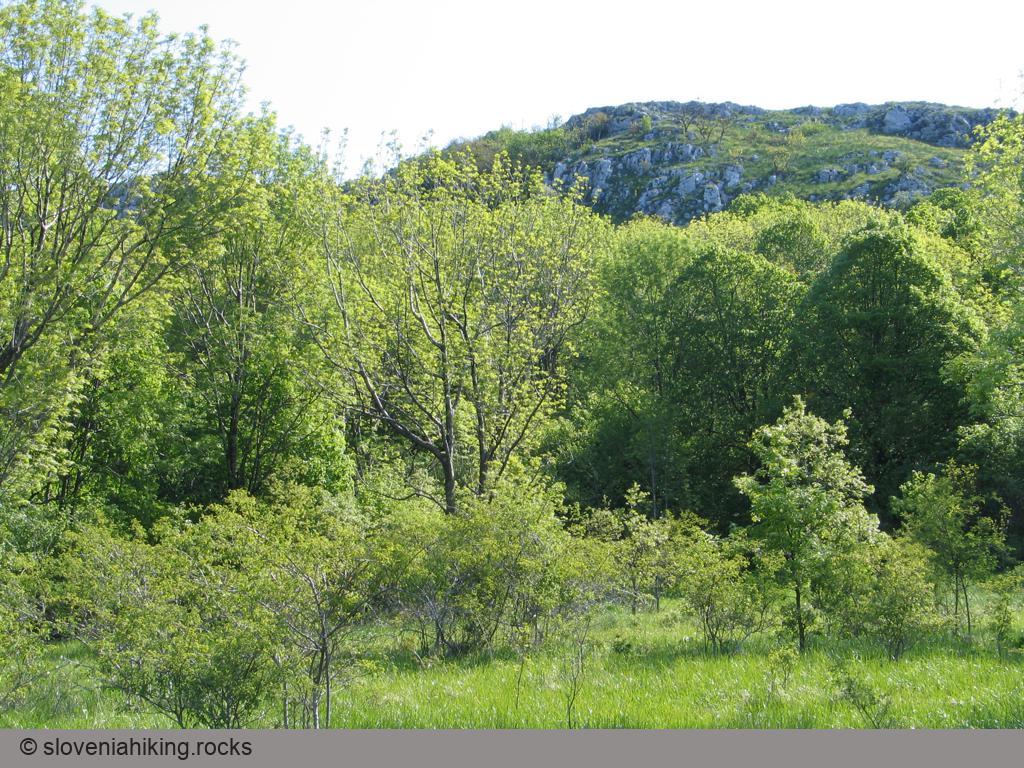
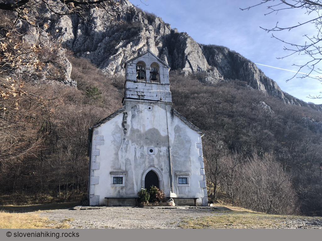
Slovene Istria
Abitanti from Gračišče (27 km, Δ=470 m)
Biking to Kojnik (15.5 km, Δ=400 m)
Biking to Kuk and Lačna (18.7 km, Δ=430 m)
From Marezige to Boršt (23.3 km, Δ=470 m)
From Osp to Socerb (437 m, Δ=420 m, 2 hours)
Golič (890 m, Δ=580 m, 5 hours)
Hrastovlje – Podpeč – Brežec – Zazid (566 m, Δ=700 m, 5 hours)
Jampršnik (649 m, Δ=260 m, 2 hours)
Karst Edge and Praproče from Rižana Valley (14.8 km, Δ=450 m)
Karst Edge: Around Črni Kal (420 m, Δ=210 m, 2 hours)
Kavčič from Rakitovec (883 m, Δ=400 m, 3 hours)
Kojnik (802 m, Δ=290 m, 2 hours)
Kuk and Gradež above Hrastovlje (507 m, Δ=410 m, 3 hours)
Lačna from Gračišče (451 m, Δ=150 m, 1.5 hour)
Lačna, Kuk and Kvirik (497 m, Δ=500 m, 4 hours)
Lipnik from Zazid (804 m, Δ=420 m, 4 hours)
Marezige – Šmarje – Vanganel (18.9 km, Δ=500 m)
Marezige – Trsek – Popetre (18.3 km, Δ=520 m)
Podgorje
Pomjan Fairy Tale (350 m, Δ=430 m, 2.5 hours)
Praproče and Marija Snežna (467 m, Δ=240 m, 3 hours)
Rock Shelters in Veli Badin (410 m, Δ=300 m, 2 hours)
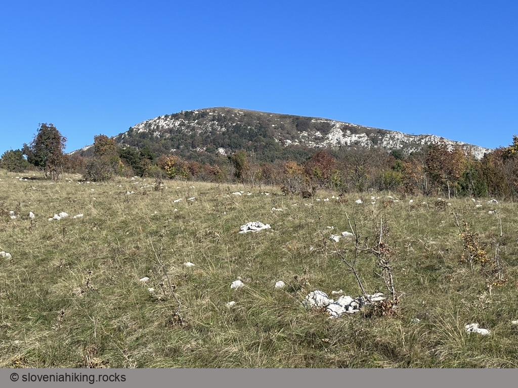
Slavnik (1028 m)
Slavnik and Grmada from Podgorje (1028 m, Δ=510 m, 3 hours)
Slavnik from Podgorje (on a bike) (12.1 km, Δ=510 m)
Slavnik from Podgorje (steep path) (1028 m, Δ=510 m, 2.5 hours)
Slavnik from Prešnica (1028 m, Δ=520 m, 4 hours)
Up, Down and Around the Karst Edge (22 km, Δ=520 m)
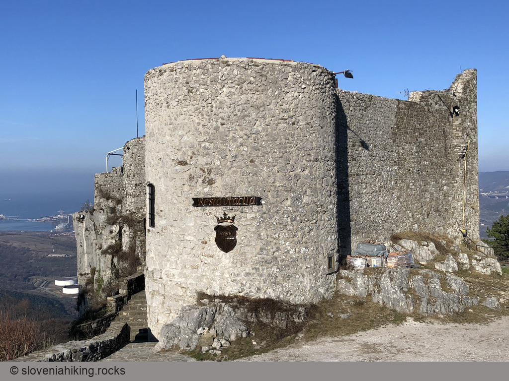
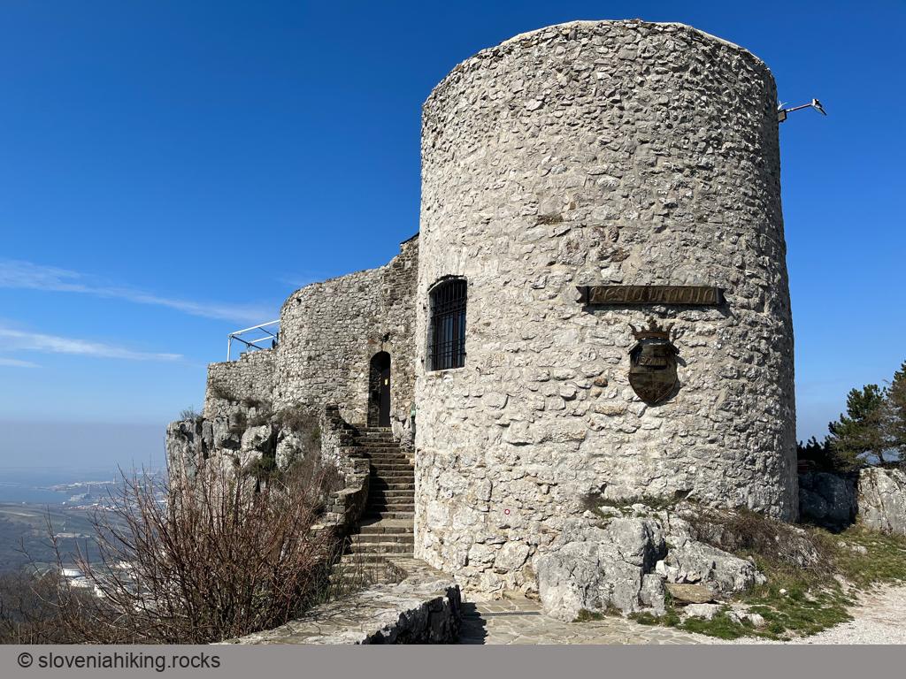
Zgornji Kras and Socerb Castle (440 m, Δ=80 m, 1 hour)
Other hikes in this region
- Abitanti (418 m, Δ=180 m, 3 hours)
- Bržanija from Hrastovlje to Zazid (450 m, Δ=330 m, 3.5 hours)
- From Padna to st. Peter (280 m, Δ=360 m, 4 hours)
- Lačna from Hrastovlje (451 m, Δ=290 m, 2 hours)
- Lačna from Kubed (451 m, Δ=220 m, 2.5 hours)
- Ostrič (1054 m, Δ=500 m, 3.5 hours)
- Slavnik from Markovščina (1028 m, Δ=470 m, 5 hours)
- Tinjan from Osp (374 m, Δ=340 m, 2 hours)
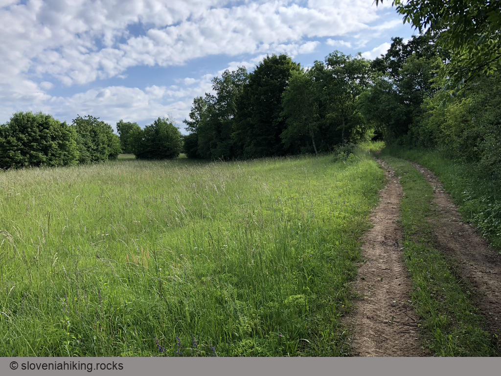
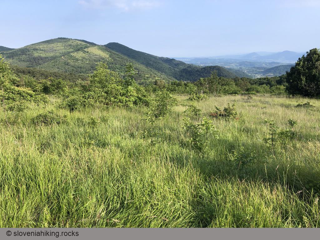
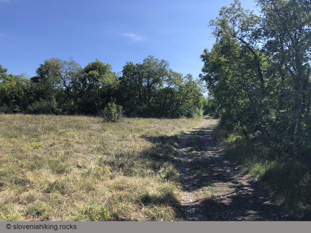
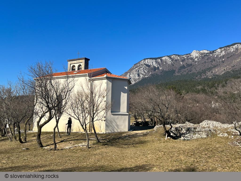
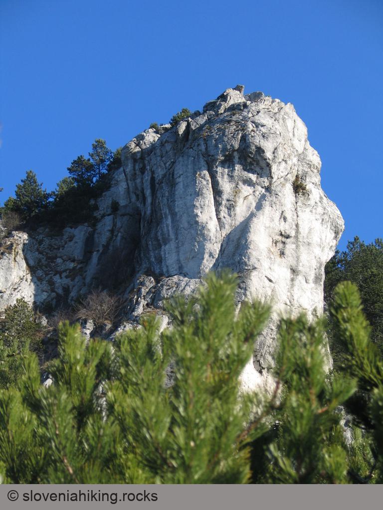
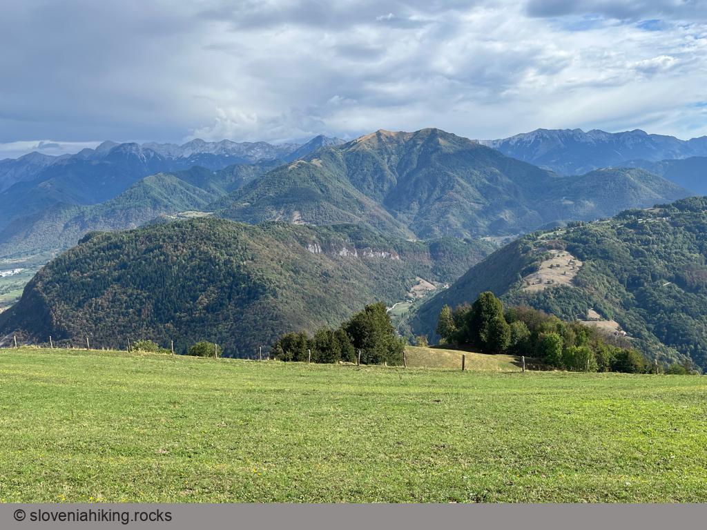
Vipava Valley
Abram (Nanos) from Vrhpolje (22.9 km, Δ=830 m)
Biking to Čaven Mountain Hut (14 km, Δ=370 m)

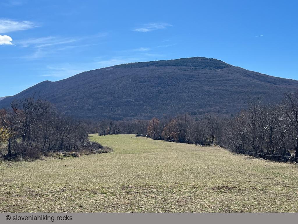
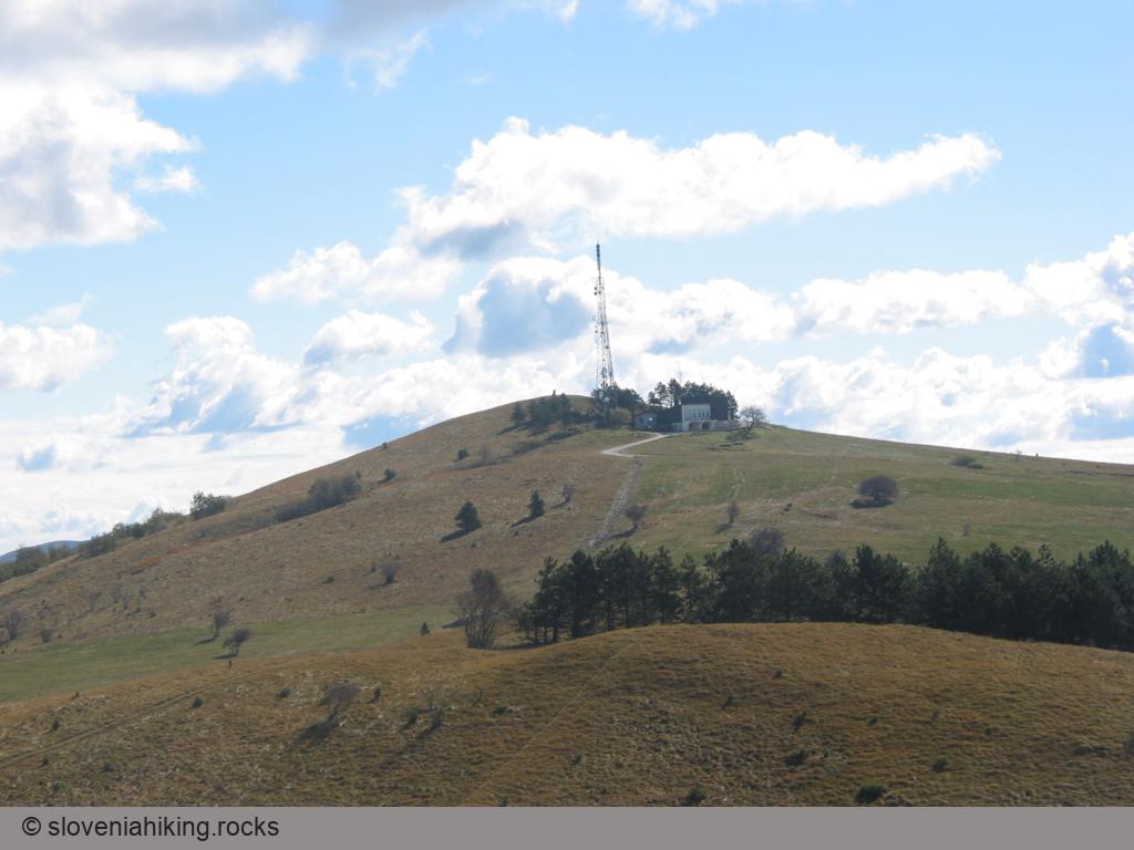
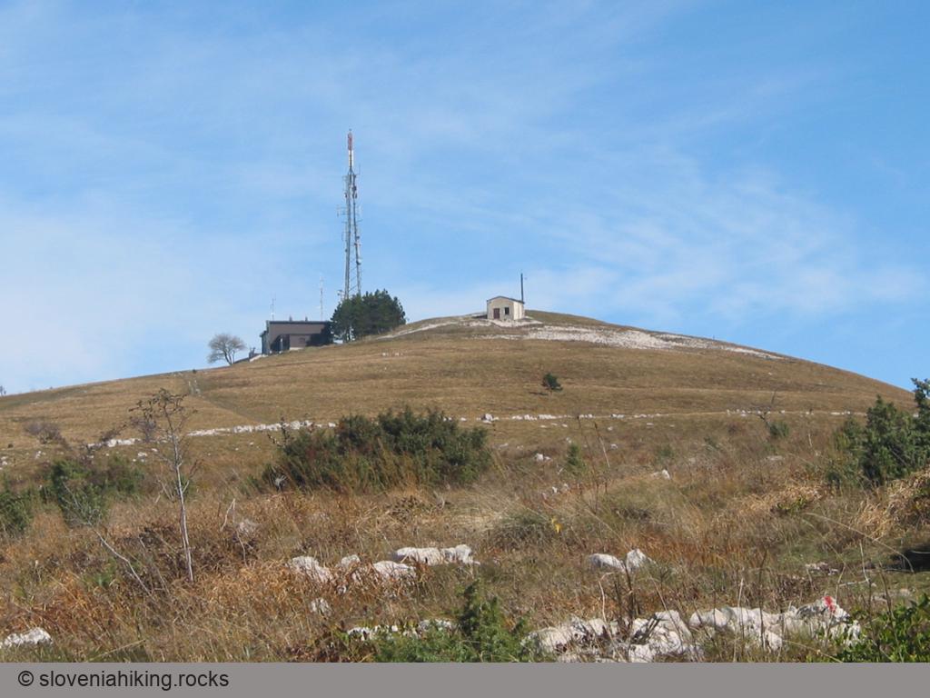
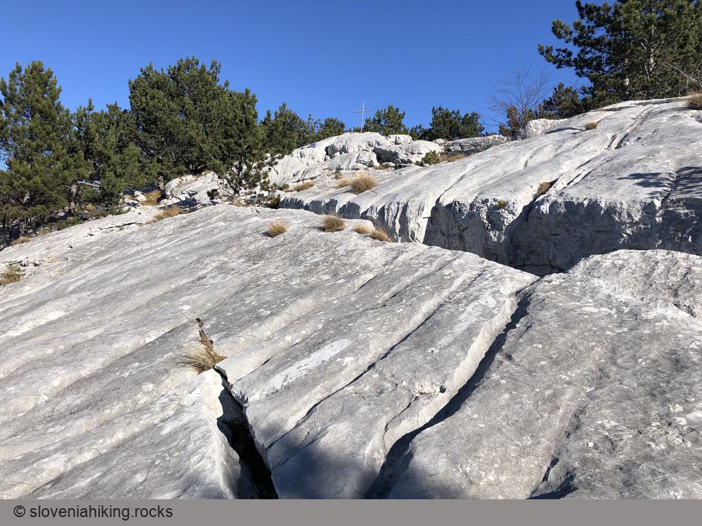
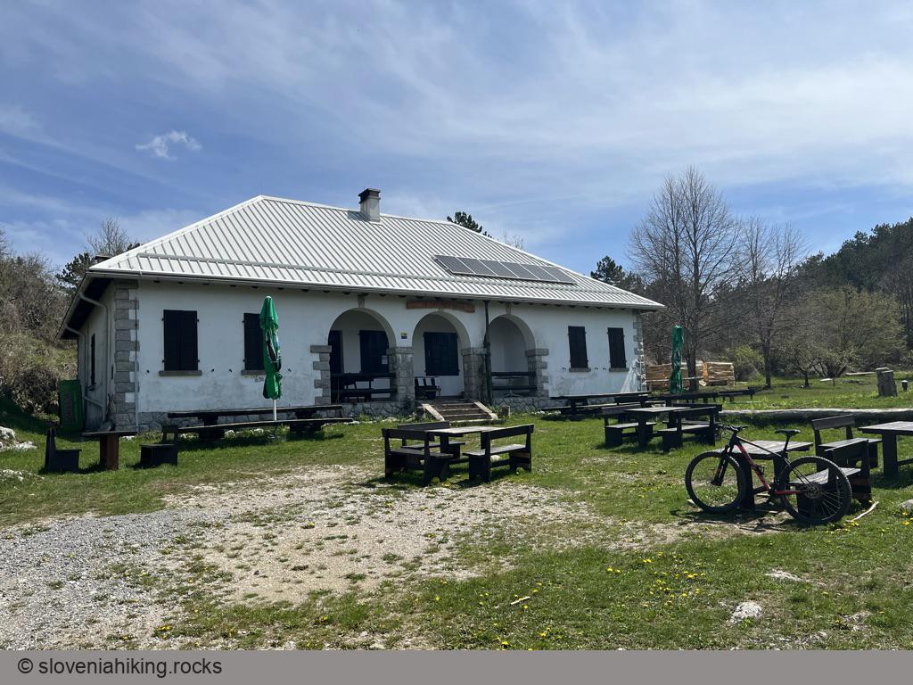
Čaven (1242 m)
Čaven is a Karst plateau (as well as one of the peaks in that plateau) high above Vipava valley north-west of Ajdovščina.
Its steep slopes presented a formidable challenge to local farmers, who created a web of footpaths, dirt trails, and narrow dirt roads to reach high-lying meadows and forests. You can walk along those paths to get to Koča na Čavnu (Čaven mountain hut) from Predmeja, Vrtovin, Stomaž, Kamnje, or Lokavec.
Čaven from Kamnje (1242 m, Δ=990 m, 5 hours)
Farmers from Kamnje, a tiny village high above Vipava valley, had to walk two hours to reach the meadows where they were preparing hay for the winter.
The local mountaineering team decided to preserve that tradition and created a theme path leading from Kamnje to Mala Gora.
Exploring the Ressel Trail (20 km, Δ=730 m)
Kovk above Col (961 m)

Kovk from Col (961 m, Δ=320 m, 2 hours)
Kovk from Vipava Valley (961 m, Δ=550 m, 3 hours)
Mala Lazna (13.8 km, Δ=420 m)
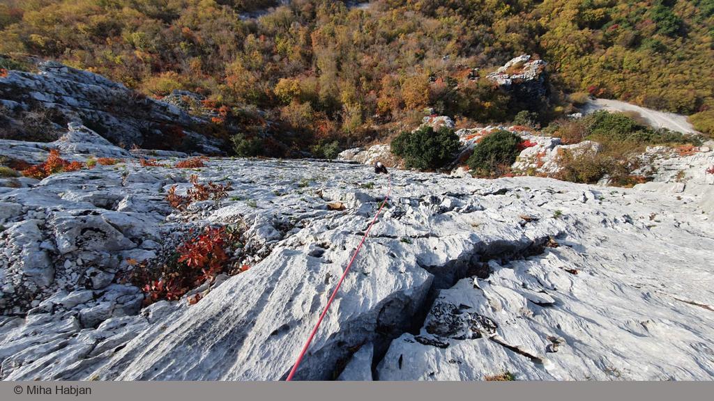
Multipitch Climbing in Gradiška Tura (500 m, Δ=250 m, 3 hours)
Nanos (Pleša) from Abram (1262 m, Δ=560 m, 4.5 hours)
The hike across sunny Nanos meadows from Abram (a 500-year old farm situated 800m above the Vipava valley) is my favorite way to reach Pleša, the most prominent Nanos peak.
We love taking the hike in May and June, enjoying the wildflowers, or doing it in late autumn or early spring when the soil is still frozen.
Orlovca (860 m, Δ=320 m, 2 hours)
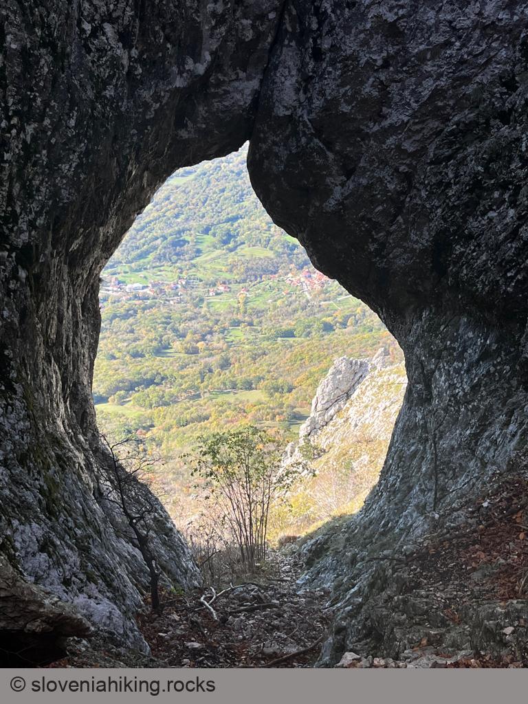
Otlica's Natural Window (820 m, Δ=580 m, 3 hours)
Plaz above Vipava (529 m, Δ=270 m, 1.5 hour)
Saint Nicholas above Vipava Valley (445 m, Δ=210 m, 2 hours)
Saint Paul above Vrtovin (498 m, Δ=360 m, 2 hours)
Škavnica (734 m, Δ=490 m, 3 hours)
Smrečje and Smrekova Lazna (28 km, Δ=720 m)
Sončnica (867 m, Δ=450 m, 2 hours)
Southern Slopes of Nanos (17.6 km, Δ=600 m)
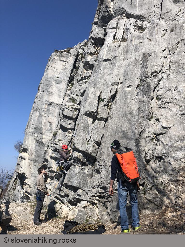
Sports Climbing above Vipava (400 m)
Stara Baba above Ajdovščina (350 m, Δ=120 m, 1 hour)
Veliki Rob from Gojače/Zasod (1236 m, Δ=1050 m, 6 hours)
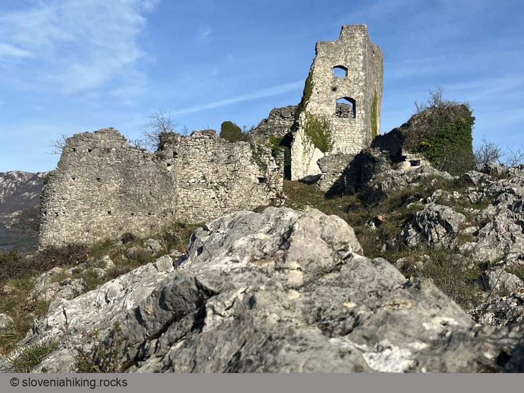
Vipava Old Castle (240 m, Δ=140 m, 1 hour)
Vipavska Bela (250 m)
Vipavska Brda (Vipava Hills) from Podnanos (17.3 km, Δ=560 m)
Other hikes in this region
- Čaven from Lokavec near Ajdovščina (1242 m, Δ=1080 m, 5 hours)
- Čaven from Predmeja (1242 m, Δ=580 m, 3 hours)
- Čaven from Stomaž (1242 m, Δ=950 m, 4 hours)
- Dolski maj (912 m, Δ=250 m, 2 hours)
- Gradiška Tura (793 m, Δ=500 m, 3.5 hours)
- Kucelj from Predmeja (1237 m, Δ=570 m, 3.5 hours)
- Kucelj from Vrtovin (1237 m, Δ=1100 m, 6.5 hours)
- Kucelj via Saint Paul's školj (1237 m, Δ=900 m, 5 hours)
- Mala gora (1034 m, Δ=200 m, 2 hours)
- Nanos from Razdrto (1262 m, Δ=640 m, 3.5 hours)
- Nanos from Strane (1262 m, Δ=610 m, 4 hours)
Hikes or biking tours with detailed descriptions
Idrijske Krnice (19 km, Δ=810 m)
Kolovrat (16.7 km, Δ=660 m)
Križna Gora and Javornik (24 km, Δ=790 m)
Lokvarski (Šebreljski) Vrh (18 km, Δ=850 m)

Mrzli Vrh (Matajur) (19.1 km, Δ=704 m)
Oblakov Vrh from Dolenja Trebuša (19 km, Δ=600 m)
Šebrelje by Bike (8 km, Δ=400 m)
Šentviška Gora (22 km, Δ=580 m)
Šentviška Gora Roundtrip (14 km, Δ=350 m)
Široko on Banjšice Plateau (13 km, Δ=590 m)
St. Ivan and Šebrelje (630 m, Δ=420 m, 3 hours)
Strug Gorge and Klavže (25.8 km, Δ=370 m)
Vojsko from Čekovnik (24.1 km, Δ=640 m)
Zadlog from Wild Lake (22.4 km, Δ=450 m)
Zakojca from Idrijca Valley (24.8 km, Δ=640 m)
Other hikes in this region
- Črni vrh above Cerkno (1288 m, Δ=290 m, 1.5 hour)
- Hleviške planine (908 m, Δ=650 m, 5 hours)
- Javorniki over lake Cerknica (1268 m, Δ=740 m, 4.5 hours)
- Kojca from Jesenica (1303 m, Δ=600 m, 3 hours)
- Križna gora above Podkraj (1213 m, Δ=413 m, 3 hours)
- Mali Golak (1495 m, Δ=490 m, 2.5 hours)
- Porezen (1630 m, Δ=930 m, 6 hours)
- Rodne (698 m, Δ=460 m, 2 hours)
- Škrbina and Kuk (627 m, Δ=440 m, 3 hours)
- Suhi vrh on Nanos (1313 m, Δ=723 m, 5 hours)
- Vremščica from Gornje Ležeče (1027 m, Δ=360 m, 2 hours)
- Vremščica from Senožeče (1027 m, Δ=470 m, 3 hours)
Coming Soon
- Idrijske Krnice
- Jagršče
- Hudournik
- Around Šentviška Gora
- Dolenja Trebuša - Vrše
- Most na Soči - Kanalski Lom
- Most na Soči - Čepovan - Lokovec