Biking in Slovenia » Primorska » Idrijske Krnice
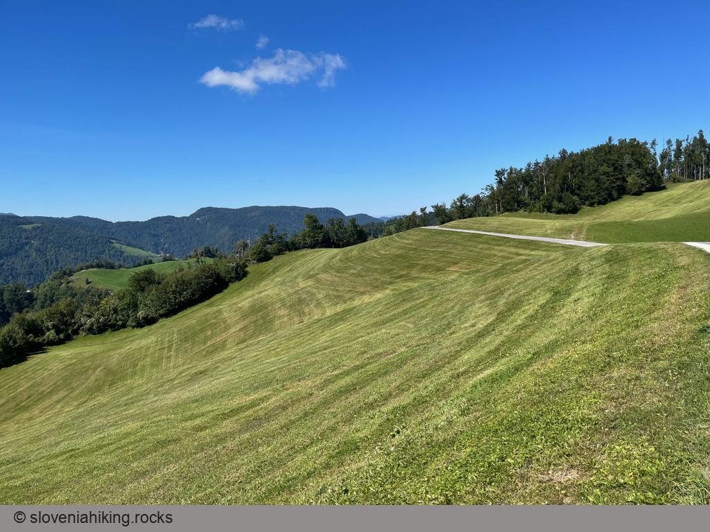
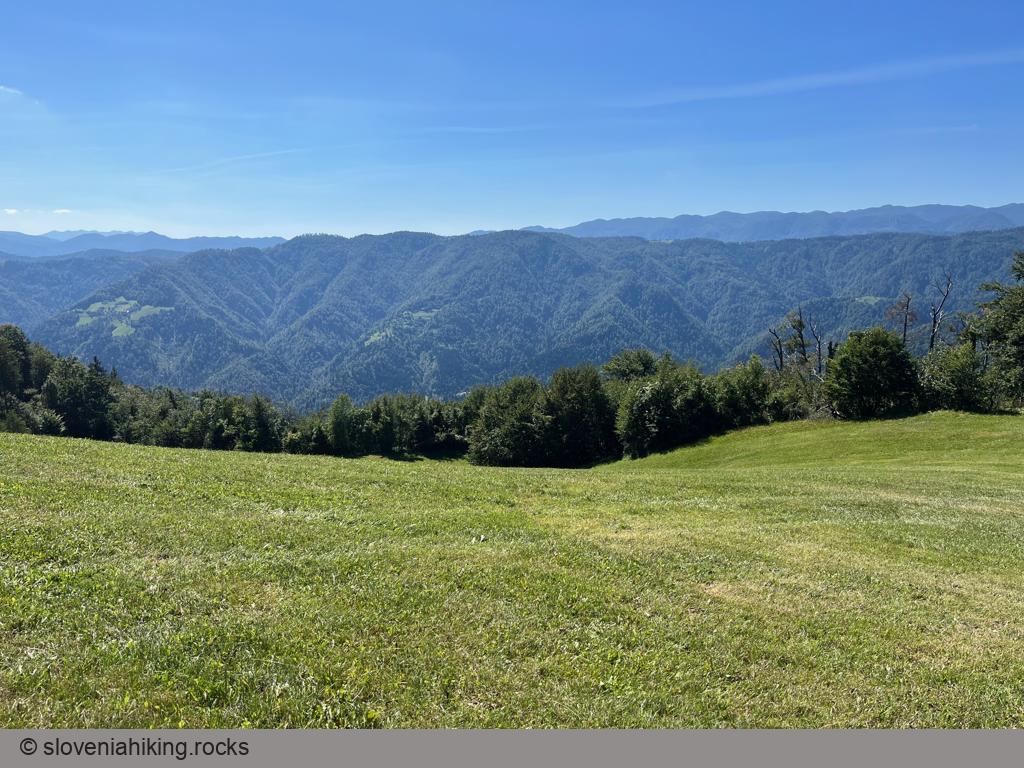
Idrijske Krnice is a sparsely-populated hamlet on a high-lying plateau between the Idrijca and Kanomlja valleys. Getting there is tough, but the views are well worth the effort.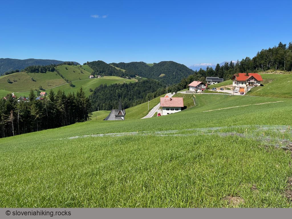
At a Glance
- Difficulty
- Obnoxiously steep asphalt road
- Altitude
- 1020 m
- Average time
- 3 h
- Elevation gain
- 810 m
- Distance
- 19 km
- Coordinates
-
Start: 46.034308,14.015423
Peak: 46.050632,13.952970
Notes
- We’ll bike to Idrijske Krnice from the Kanomlja Valley. The entrance to the valley is jam-packed with factories, and it’s not too hard to find an empty parking spot.
- Bike up the valley and then (following a sign for Idrijske Krnice) turn right onto a narrow asphalt road.
- Stay on the main asphalt road until you reach the church of Saint Florian. Take a break and enjoy the views.
If you want to stay on an asphalt road, you have to return to Spodnja Idrija. However, if you’re willing to bike on gravel roads, you could continue toward Lokvarski Vrh and Oblakov Vrh and return to Spodnja Idrija via the Trebuša-Idrija asphalt road.
Map of the Route
The map shows the path we took as recorded by the GPS receiver. Never trust a GPS track wholeheartedly; rely on your senses and maps.