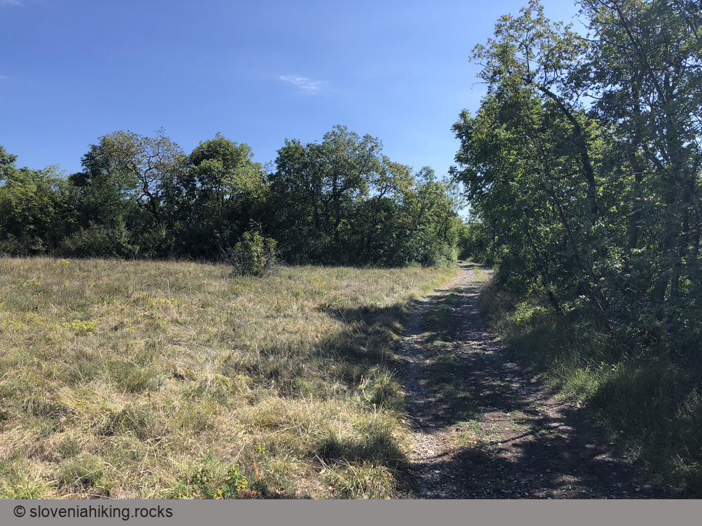
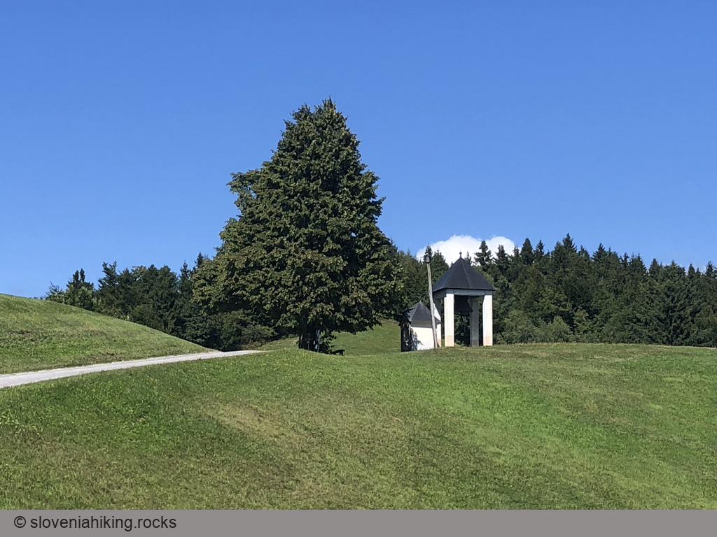
I’m too old for hard-core mountain- or cross-country biking, but I still prefer gravel roads and dirt trails with an occasional (careful) single-track descent over asphalt. If that sounds familiar, you might find my collection of bike tours useful.
Notes
- The biking tours are the green dots on the above map. Hiking trips with English descriptions are red, hikes without descriptions are gray.
- I started publishing my tracks in early 2021. Don’t expect miracles.
- I’m publishing GPX files instead of turn-by-turn descriptions.
- You’ll find notes attached to every tour, identifying interesting places worth visiting, navigational hints, or alternate paths.
- I usually drive to somewhere and bike from there. The starting point is usually where I managed to park my car. You might also find parking opportunities in tour description.
Recent Tours
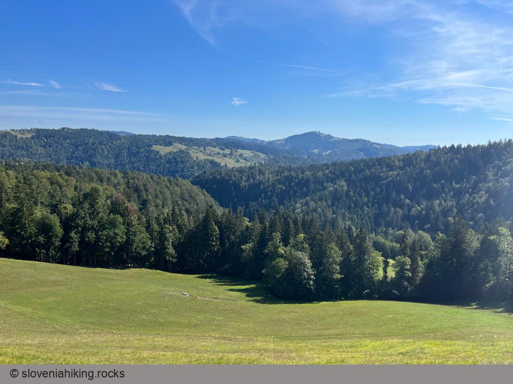
Šentviška Gora Roundtrip (14 km, Δ=350 m)
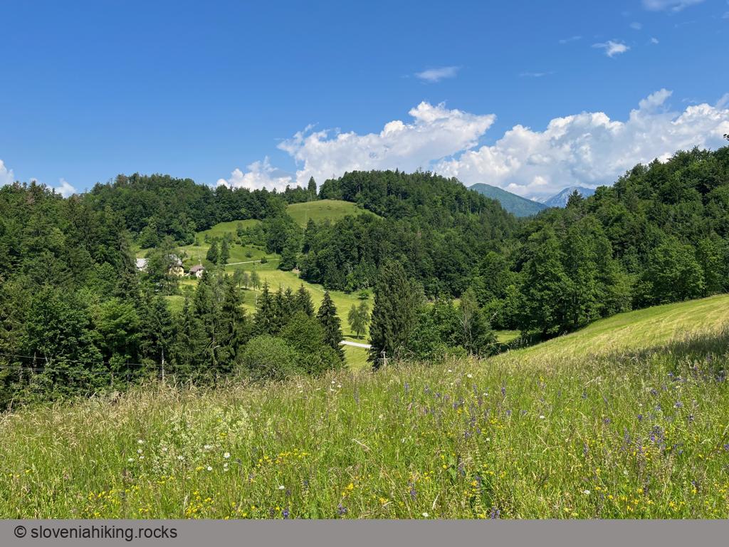
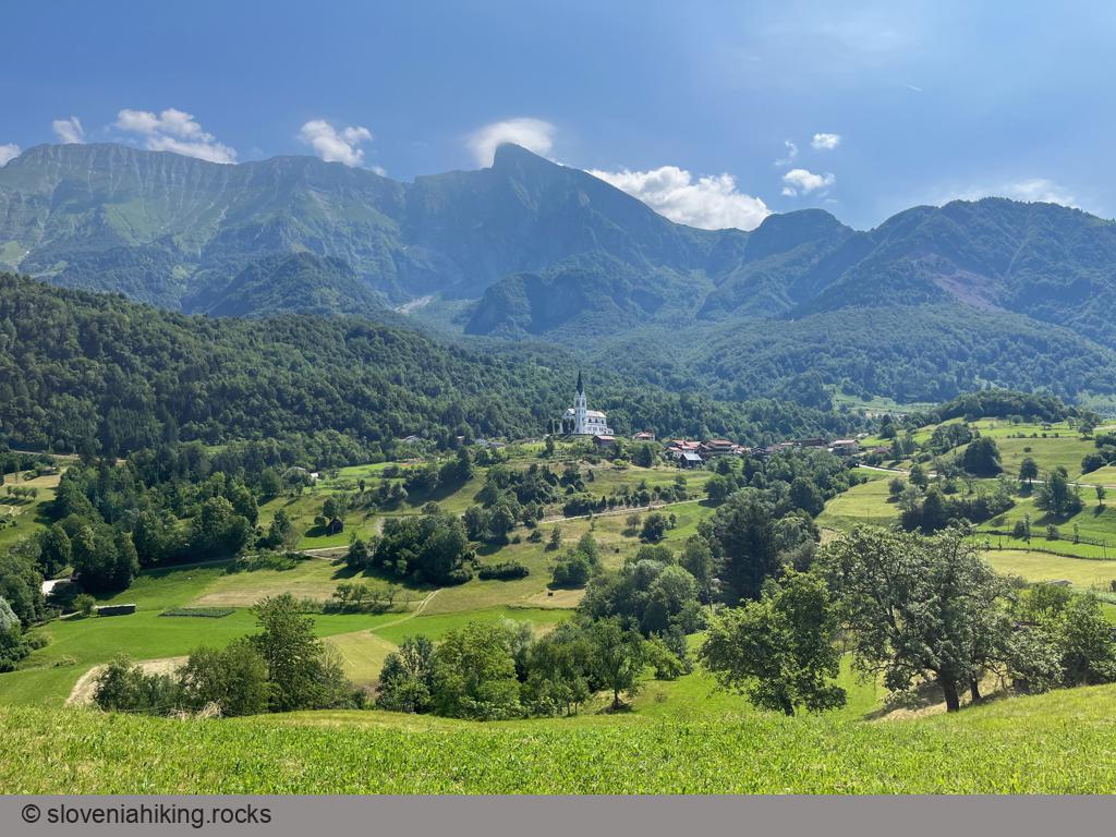
Biking from Idrijca Valley to Šentviška Gora (a plateau high above the valley) is nice; a roundtrip around the plateau is a beautiful experience. We’ll explore the sunny meadows and forests between Pečine and Šentviška Gora.
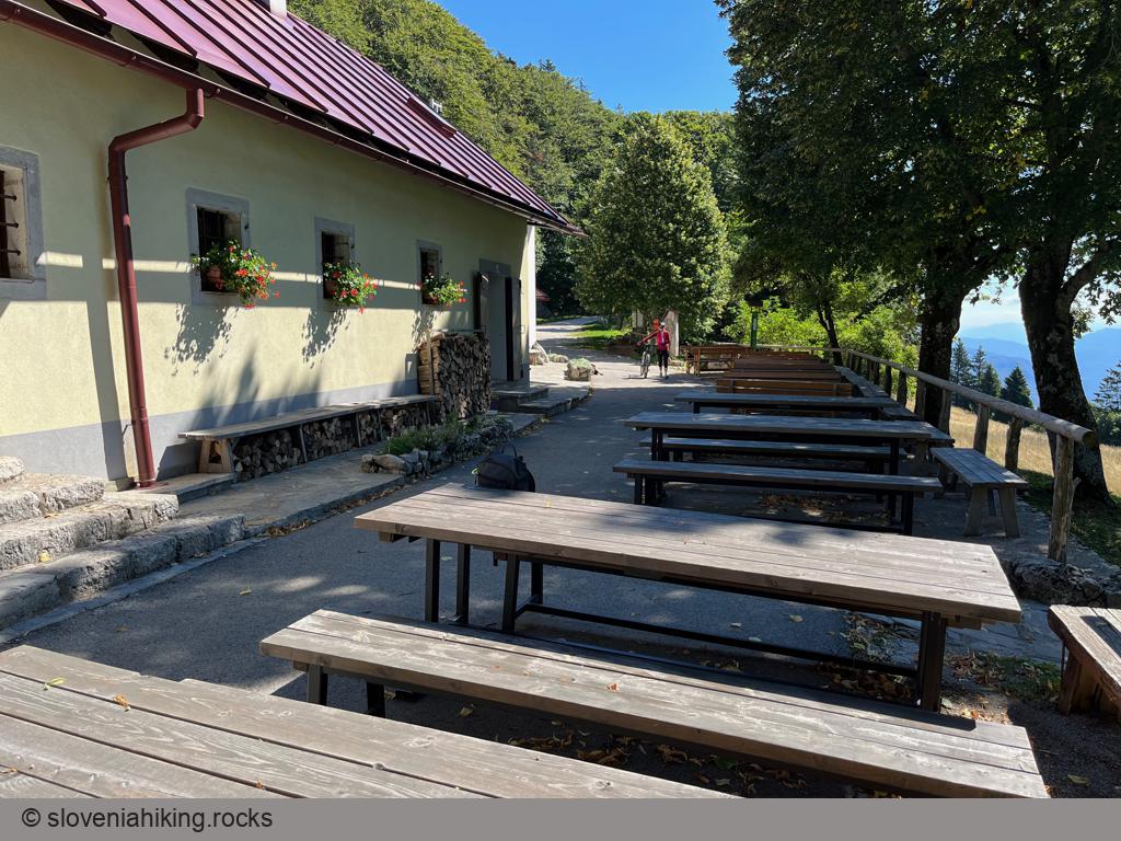
Trstelj from Komen (27.1 km, Δ=590 m)
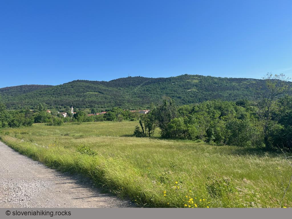
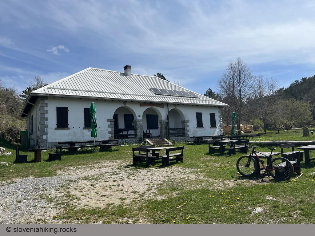
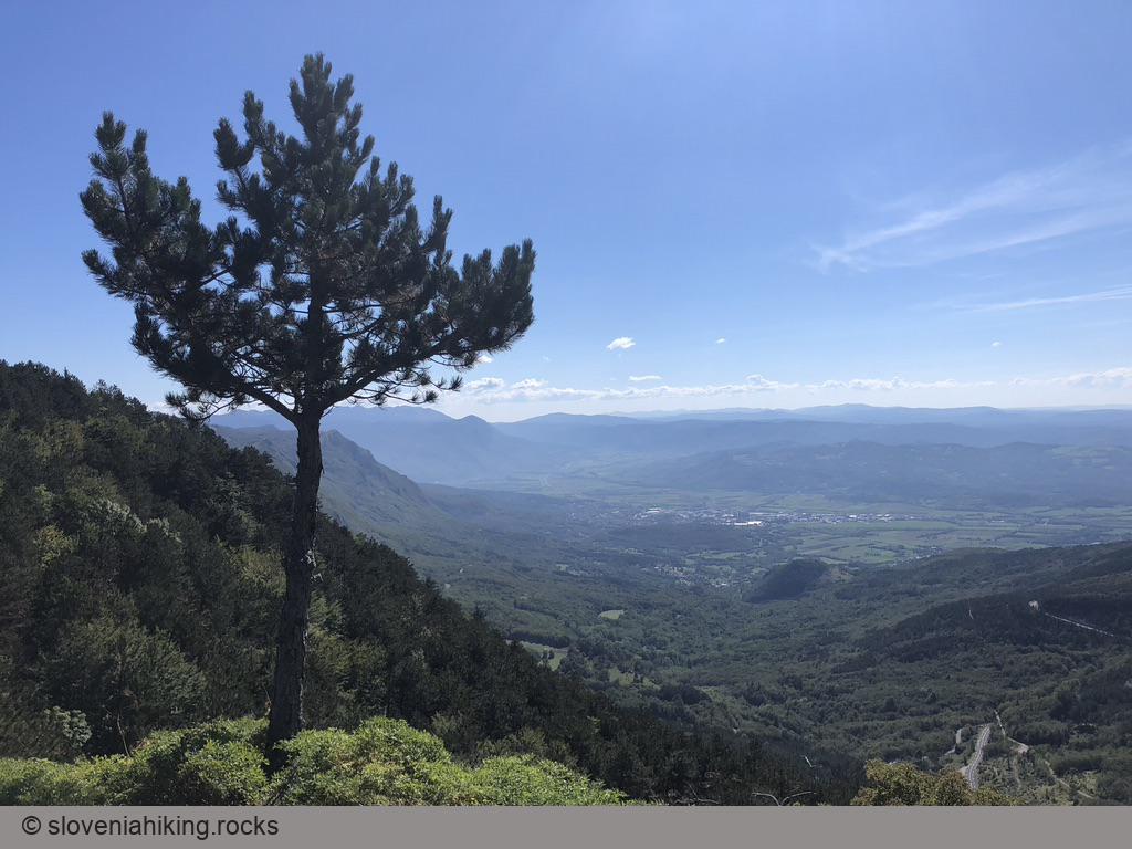
I noticed a gravel road leading to the Trstelj mountain hut the last time I was there and decided to use it for a bike trip starting in Komen. I tried to avoid the asphalt roads as much as possible, but it’s not hard to find a route that will bring you to Trstelj even if you have a road bike.
Strug Gorge and Klavže (25.8 km, Δ=370 m)
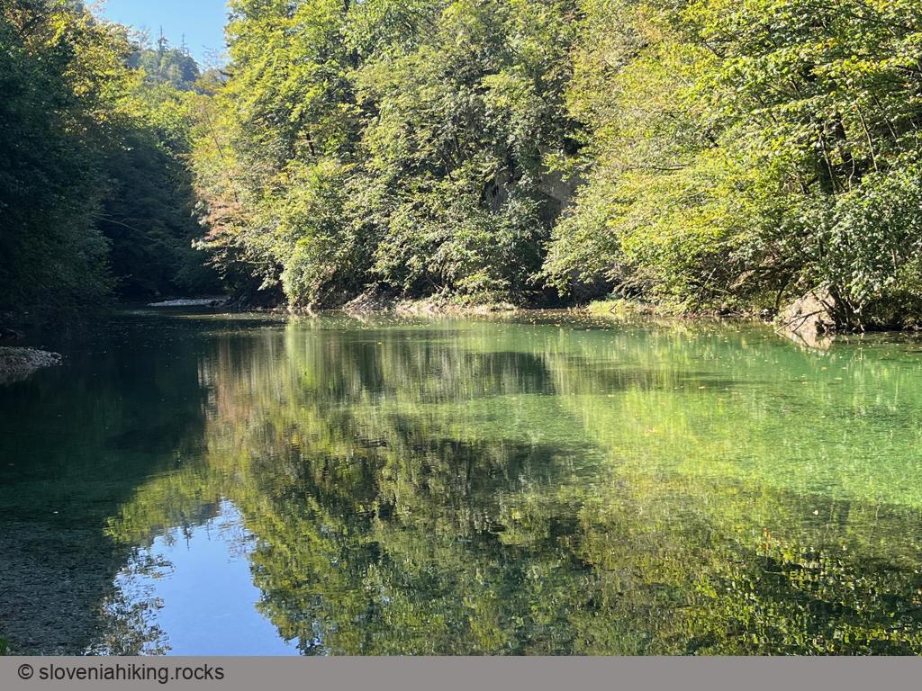
Love biking along sapphire crystal-clear streams with a bit of history on the side? You must drop by Idrija, bike through the Strug Gorge, and visit klavže (huge water barriers used to transport wood downriver).
Idrijske Krnice (19 km, Δ=810 m)
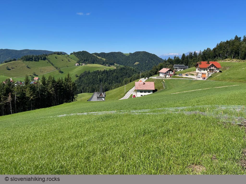
Idrijske Krnice is a sparsely-populated hamlet on a high-lying plateau between the Idrijca and Kanomlja valleys. Getting there is tough, but the views are well worth the effort.
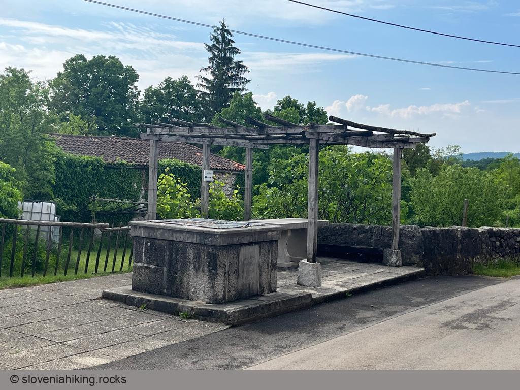
Karst Villages between Hruševica and Pliskovica (16.3 km, Δ=210 m)
On a rainy day, I found myself in the beautiful St. Daniel Hotel and took a short biking trip on asphalt and gravel roads to avoid the inevitable mud. The end result: I enjoyed the hidden beauties of a half-dozen Karst villages.
Abram (Nanos) from Vrhpolje (22.9 km, Δ=830 m)
Two roads lead from Sanabor (a hamlet on the western slopes of Nanos plateau) to Abram (one of the few still-active homesteads): a pleasantly cool gravel road along the Bela stream and a sunny asphalt road going straight from Sanabor to Abram.
Mrzli Vrh from Žiri (10.5 km, Δ=510 m)
Mrzli Vrh (Cold Peak) is a beautiful vista point high above Žiri, well worth the effort you’ll spend hiking or biking there – you’ll enjoy the views of Škofja Loka hills, Idrija hills, and the Julian Alps.
Smrečje and Smrekova Lazna (28 km, Δ=720 m)
Smrečje is a giant hollow and a cold-air pool in Trnovo Forest – even though it’s barely above 1000m, the local information tables claim you could get below-freezing temperatures in July – making it a perfect summer destination when you’re tired of heat waves and summer crowds.
Zavratec Plateau Trail (16.7 km, Δ=370 m)
I had the mountain bike packed in my car but had to be back home for lunch, so I was looking for a short but steep ride, and the Zavratec Plateau Trail turned out to be an excellent choice, including lovely views of the Julian Alps and Idrija hills.
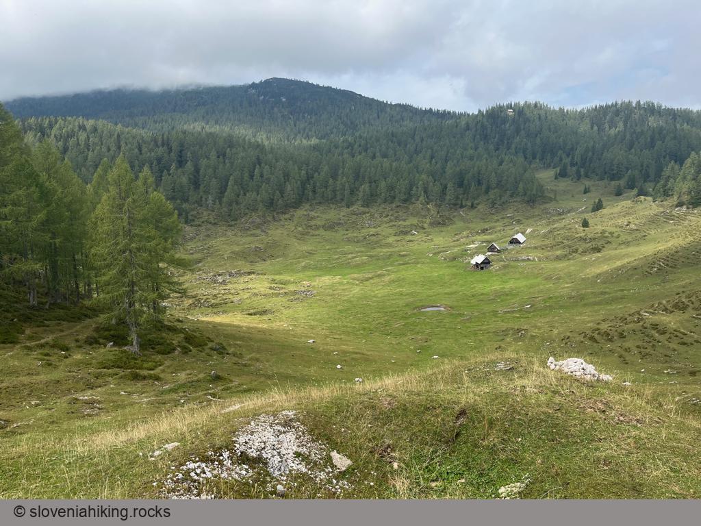
Klek Alp (21.7 km, Δ=410 m)
When the low clouds hugging the peaks above the Pokljuka plateau make hiking unpalatable, it’s time to explore the less-visited parts of this natural gem. Let’s grab a mountain bike and visit Klek Alp.
Biking to Čaven Mountain Hut (14 km, Δ=370 m)
If you’ve explored all the footpaths to the Čaven mountain hut, it’s time to bike there. We’ll start in Predmeja; if you’re looking for a much longer ride, choose Lokavec as your starting point.
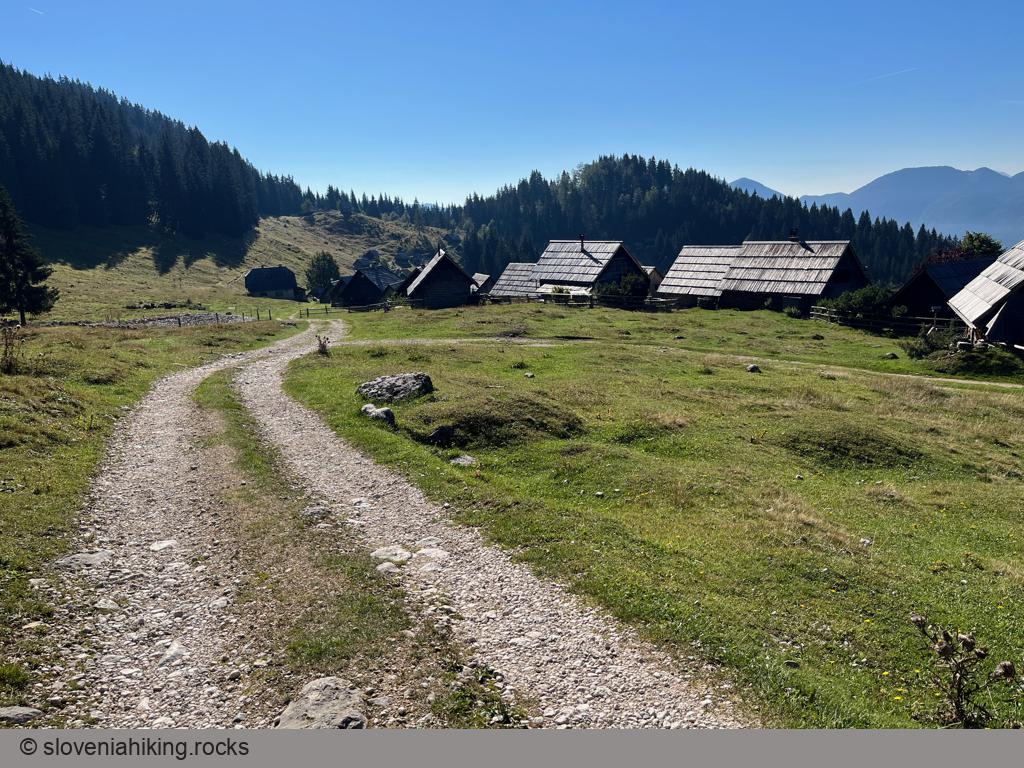
Zajamniki and Uskovnica (20.1 km, Δ=410 m)
Zajamniki is the most picturesque Pokljuka alp; Uskovnica has the best vistas. You can visit both of them and a half-dozen other alps on the southern slopes of Pokljuka in just a few hours. Let’s go!
Mala Lazna (13.8 km, Δ=420 m)
Mala Lazna is a lovely clearing deep in the Trnovo Forest. A chance geological accident resulted in an unusual soil composition welcoming plants you would not find anywhere else in western Slovenia. You can reach Mala Lazna via an asphalt road from Predmeja to Lokve, making it a perfect destination for a short road biking trip.
Lokvarski (Šebreljski) Vrh (18 km, Δ=850 m)
Lokvarski Vrh (also known as Vrhovec or Šebreljski Vrh) is one of the highest peaks on the ridge between Idrijca and Kanomlja valleys, with a phenomenal 360-degree panorama of the Julian Alps, Cerkno hills, Vojsko, and Trnovski Gozd. You can get there from Oblakov Vrh, Idrijske Krnice, or Šebrelje.
Šebrelje by Bike (8 km, Δ=400 m)
Šebrelje is a village on a sunny plateau high above Idrijca valley, best known for the nearby Stone Age archeological site. You can hike to the northern part of the village or take the asphalt road and then explore Šebrelje by bike.
Šentviška Gora (22 km, Δ=580 m)
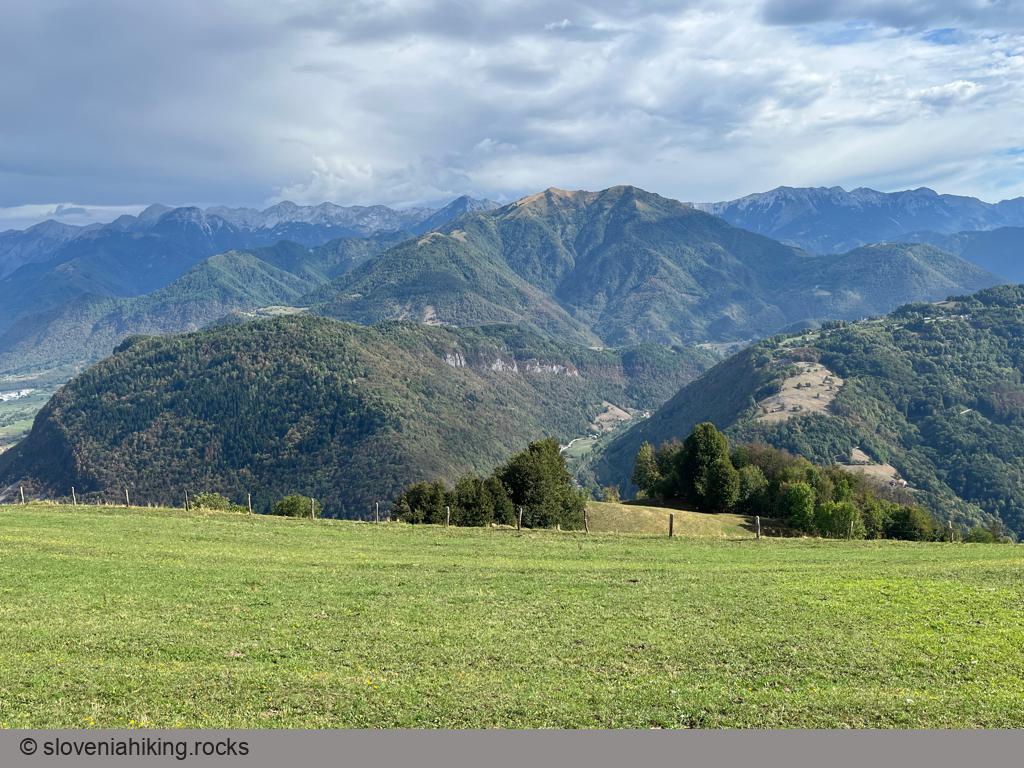
Šentviška Gora is the largest settlement on a lovely high plateau between Idrijca and Bača valleys. The nearby vista point on Arbišče offers beautiful views of Cerkno and Idrija hills, Trnovski Gozd, Vojsko, and the Julian Alps.
Široko on Banjšice Plateau (13 km, Δ=590 m)
Široko is a vista point on the northern edge of Banjšice Plateau, high above the confluence of Idrijca and Soča. Getting there takes a steep and strenuous
ascent regardless of whether you hike there from Most na Soči train station or bike from the village center, but the rewarding views of the southern ridges of the Julian
Alps are well worth the effort.
Oblakov Vrh from Dolenja Trebuša (19 km, Δ=600 m)
Oblakov Vrh (Cloudy Peak) is a saddle between Kanomlja and Hotenja valleys with a beautiful view of the Idrija Fault (both valleys resulted from that fault). We’ll bike to Oblakov Vrh from Dolenja Trebuša and enjoy a panoramic view of the
Julian Alps on the way back.
Javoršček Vista Point (9 km, Δ=310 m)
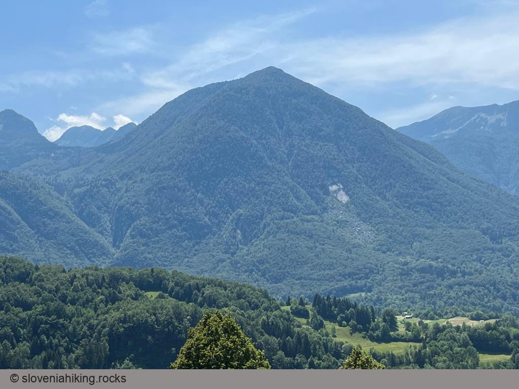
Whenever I was enjoying my morning coffee at House Natura in Bovec, I wondered how to get to the giant rockslide on the northern slopes of Javoršček clearly visible across the Soča valley. It turns out it’s easy – a gravel road will get you there, and it’s clearly marked, as the rockslide created an excellent vista point with views of Rombon and Kanin.
Korita above Drežniške Ravne (16.9 km, Δ=560 m)
Several world-class Slovenian cyclists (including Tadej Pogačar) won the race from Kobarid to Korita above Drežniške Ravne early in their careers. Let’s see how tough that race is.
Drežnica (9.6 km, Δ=300 m)
Drežnica is a small village high above Soča valley, snuggled onto the steep slopes of Krn. It offers magnificent views of the surrounding peaks, and it’s not hard to get there – it’s just five kilometers away from Kobarid.
Biking to Kojnik (15.5 km, Δ=400 m)
It was way too hot for May, and I was tired and sunburnt. An early morning tour to Kojnik, a wooded hilltop south of way more popular (and crowded) Slavnik, was precisely what I needed.
Abitanti from Gračišče (27 km, Δ=470 m)
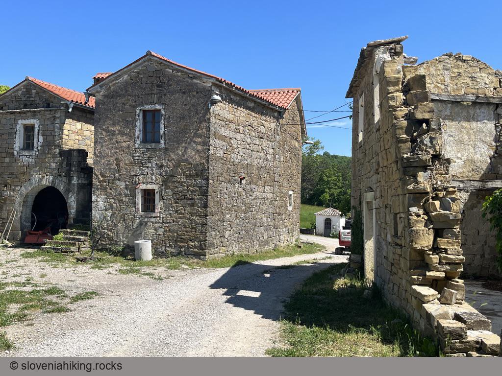
Abitanti is a tiny Istrian hamlet that’s not just in the middle of nowhere. It’s way beyond that. The village was deserted when I hiked there years ago. This time, I found a group of renovated houses (and locals fixing even more of them) after a colorful ride across Istrian pine forests and meadows.
Biking to Kuk and Lačna (18.7 km, Δ=430 m)
I love hiking across the hills on the limestone edge of Slovenian Istria, but whenever I’m schlepping myself along the long dirt trails, I dream of doing them with a mountain bike. As it turns out, what looks like a wide and easy dirt road when you’re hiking could turn into a mischievous beast when you are on a bike, including the trails between Kuk and Lačna.
Southern Slopes of Nanos (17.6 km, Δ=600 m)
Two asphalt roads lead to Nanos, a mountainous plateau high above Vipava valley. While I like biking on the northwestern road in summer, the one on the sunny southern slopes of Nanos is an ideal choice for spring and autumn days.
Exploring the Ressel Trail (20 km, Δ=730 m)
The edge of Gora (plateau high above Vipava Valley) is full of fantastic vista points. A few of them are reachable with a road bike; we’ll visit the westernmost one and explore an ancient dirt trail laid out by Josef Ressel on the way back of the ship propeller fame.
Javorniki Ridge from Rakov Škocjan (33.8 km, Δ=840 m)
If you love biking on gravel roads through beech forests (autumn colors could be beautiful), the Javorniki ridge might be just what you’’re looking for.
For everyone else: the ascent is pretty steep, and there are no views. Try Slivnica.
From Predjama to Stara Pošta on Hrušica (22 km, Δ=420 m)
Starting from a medieval castle built into a giant cave, bike through Hrušica’s dense forests to reach the ruins of a Roman fort and an old post waystation.
Exploring Karst: Pliskovica – Tupelče (18.5 km, Δ=260 m)
We decided to continue our exploration of Karst dirt trails when visiting our friends in Tupelče. We started in Pliskovica, dropped by Volčji Grad and Gabrovica, barely managed to find a long-lost dirt trail from Gabrovica to Kobjeglava, and returned to Pliskovica via Kosovelje.
Ermanovec from Trebija (15.3 km, Δ=530 m)
Take a trip from Trebija to the mountain hut on Ermanovec if you happen to be in Poljanska Valley with a bike – the views (once you get out of the forest) are well worth the effort.
