Biking in Slovenia » Gorenjska » Zavratec Plateau Trail
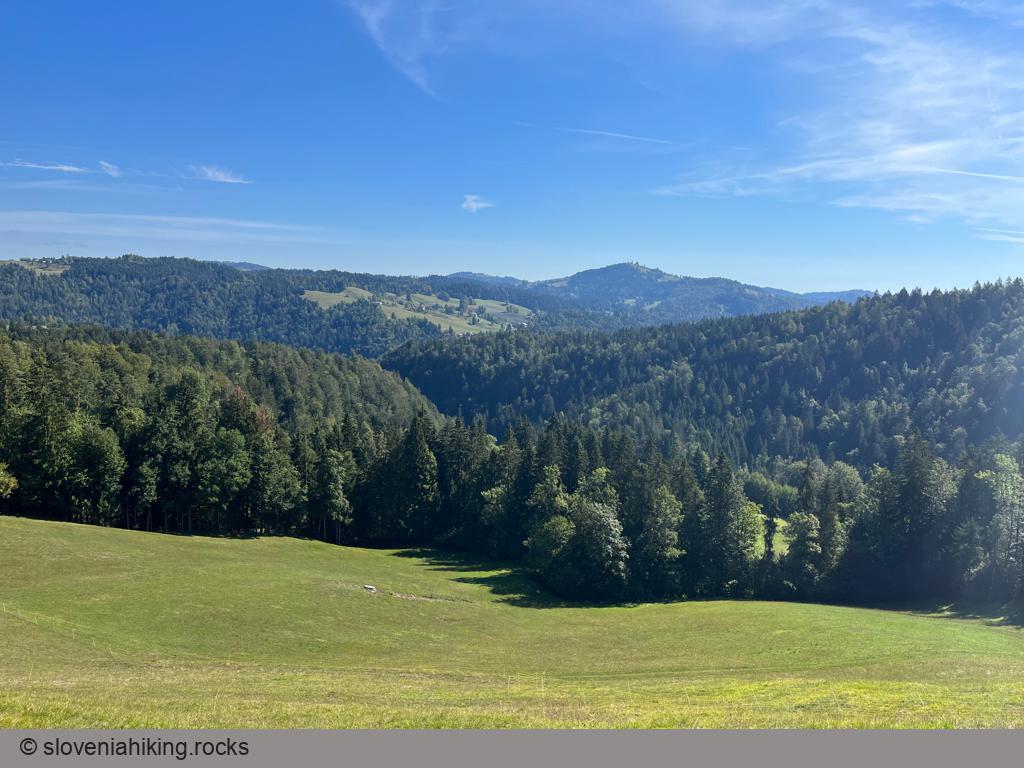
I had the mountain bike packed in my car but had to be back home for lunch, so I was looking for a short but steep ride, and the Zavratec Plateau Trail turned out to be an excellent choice, including lovely views of the Julian Alps and Idrija hills.
It took me less than two hours to complete the ride; it could take at least half a day if you visit the attractions along the way. However, keep in mind that this project remains (at least in 2022) a half-baked attempt. While there’s a well-done information table in Zavratec, I could find no trail signs or signs pointing to (for example) Kovk or Tomaž’s Table. Maybe they wanted to make a geocaching riddle part of the experience.
At a Glance
- Difficulty
- A combination of steep asphalt and gravel roads
- Altitude
- 850 m
- Average time
- 2 h
- Elevation gain
- 370 m
- Distance
- 16.7 km
- Coordinates
-
Start: 46.000904,14.150434
Notes
- The Geopark Idrija page suggests Zavratec as the starting point. While there’s a small parking lot in Zavratec, you’ll be “blessed” with a steep ascent at the very end of the ride. It’s thus much better to park in Sopot (in the Sora valley) next to the head of the Vrh Svetih Treh Kraljev trail.
- Return to the Rovte-Žiri road and turn left (slightly uphill).
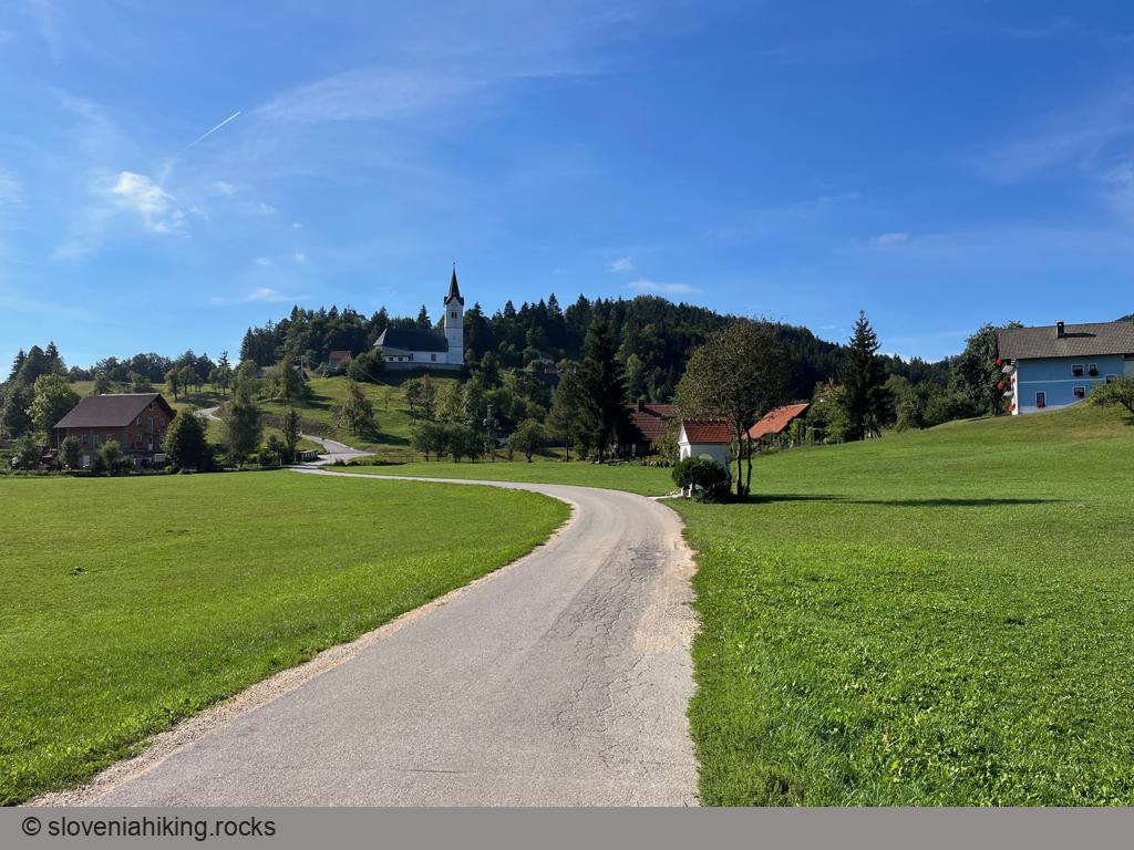
- At the next junction, follow the sign for Zavratec.
- Follow the main road through Zavratec and ascend to Mrviše.
- Turn slightly right following the sign for Idrija.
- Got hungry? Stop at the pizzeria in Dole (untested, but it looked promising).
- Turn right onto a narrower asphalt road following a well-hidden sign for Ravne (the sign for Marjetn Dom is easier to spot).
- When reaching the next hamlet, follow the signs for Žiri and Ravne onto a gravel road. At the next junction, keep right (the road to Marjetn Dom goes left).
- In Ravne, turn right following the sign for Žiri.
- As you reach the Rovte-Žiri main road, turn right to get back to your car. Don’t forget to stop to admire Matjaževe Kamre (a set of natural tunnels in the rocks across the Sora river).
Map of the Route
The map shows the path we took as recorded by the GPS receiver. Never trust a GPS track wholeheartedly; rely on your senses and maps.