Hiking in Slovenia » Kamnik-Savinja Alps » Plesnikova Planina
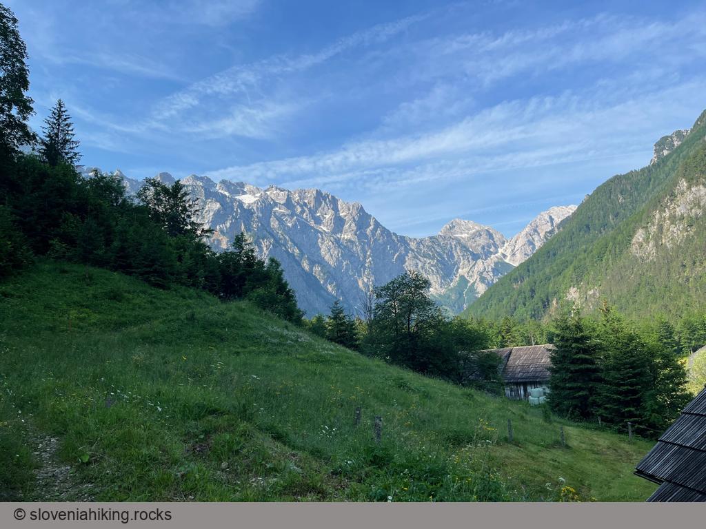
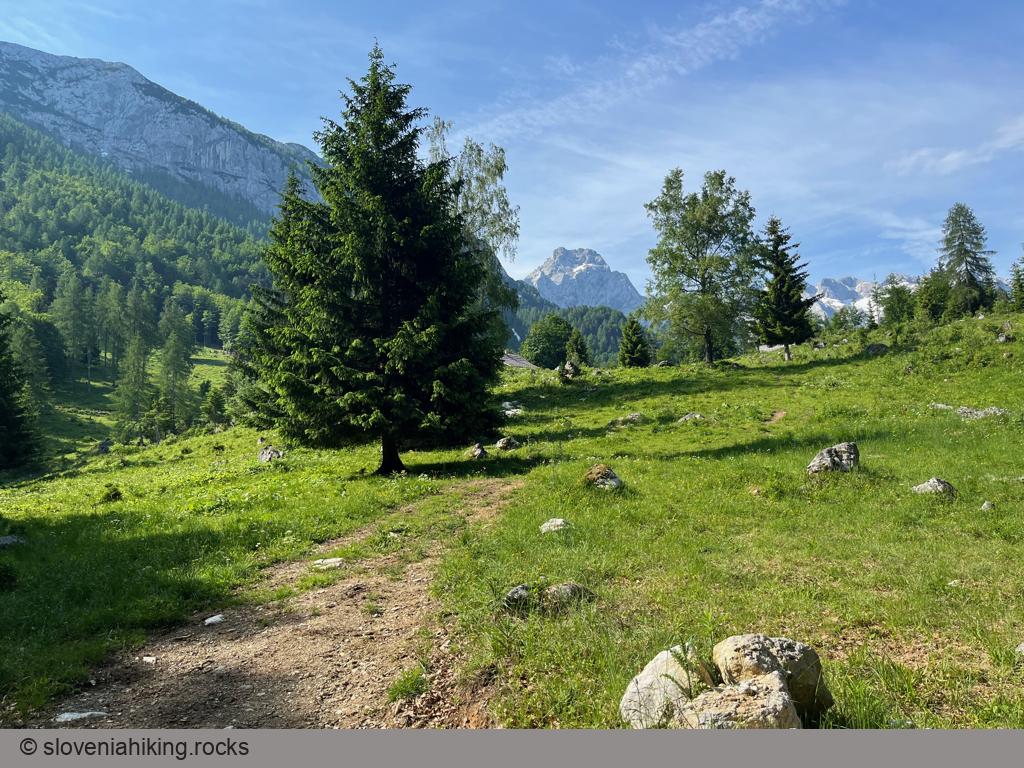
Plesnikova Planina (Plesnik Alp) is a rarely-visited alp on the eastern slopes of Logarska Dolina (Logar Valley) with a lovely view of the surrounding mountains.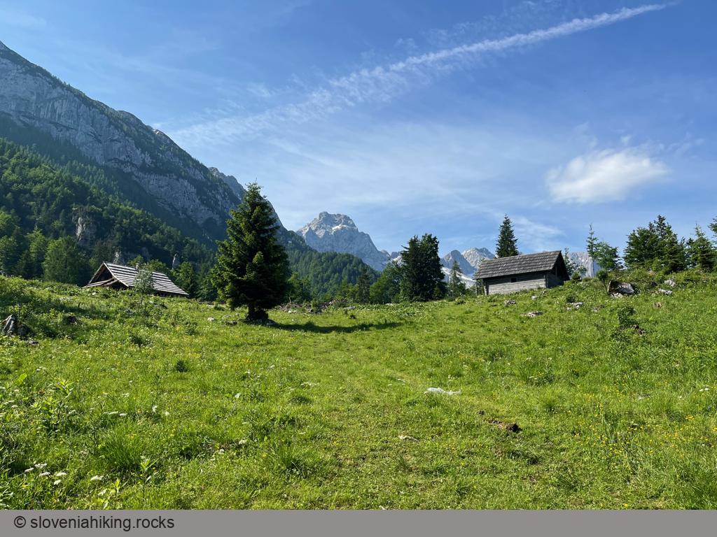
At a Glance
- Difficulty
- Steep mix of footpaths, dirt trails, and dirt roads
- Altitude
- 1319 m
- Average time
-
Ascent: 1 hour 30 minutes
Descent: 1 hour
Total: 3 hours
- Elevation gain
- 560 m
- Coordinates
-
Start: 46.394621,14.630071
Peak: 46.391318, 14.643648
Getting There
- The hiking path starts at Hiša Ojstrica, and I simply walked out the door as I was staying there1. You should be able to park somewhere nearby.
- Follow the road past the Plesnik homestead until you spot a red hiking sign sending you onto an ascending dirt trail that eventually turns into a footpath. Ignore the ridiculous timing advice – it takes an average hiker approximately 90 minutes to reach the alp.
- You’ll reach the gravel road leading to the alp a few times. The hiking path is relatively well-marked, so you shouldn’t find it too hard to follow the waymarks. When in doubt, take the ascending fork.
- When you reach the wooden fences, you’re almost there – it’s just a few minutes of an easy walk to get to the meadows.
-
Not a bad choice if I say so myself ↩︎
Photo Gallery
Map of the Route
The map shows the path we took as recorded by the GPS receiver. Never trust a GPS track wholeheartedly; rely on your senses and maps.