Hiking in Slovenia » Julian Alps » Around Bovec: Čezsoča, Jablanca, Koritnica
We were staying in Bovec in the lovely House Natura and wanted to walk for a few hours, but we didn’t dare to go high into the mountains due to unstable weather. Our solution: a hike along the many trails around Bovec.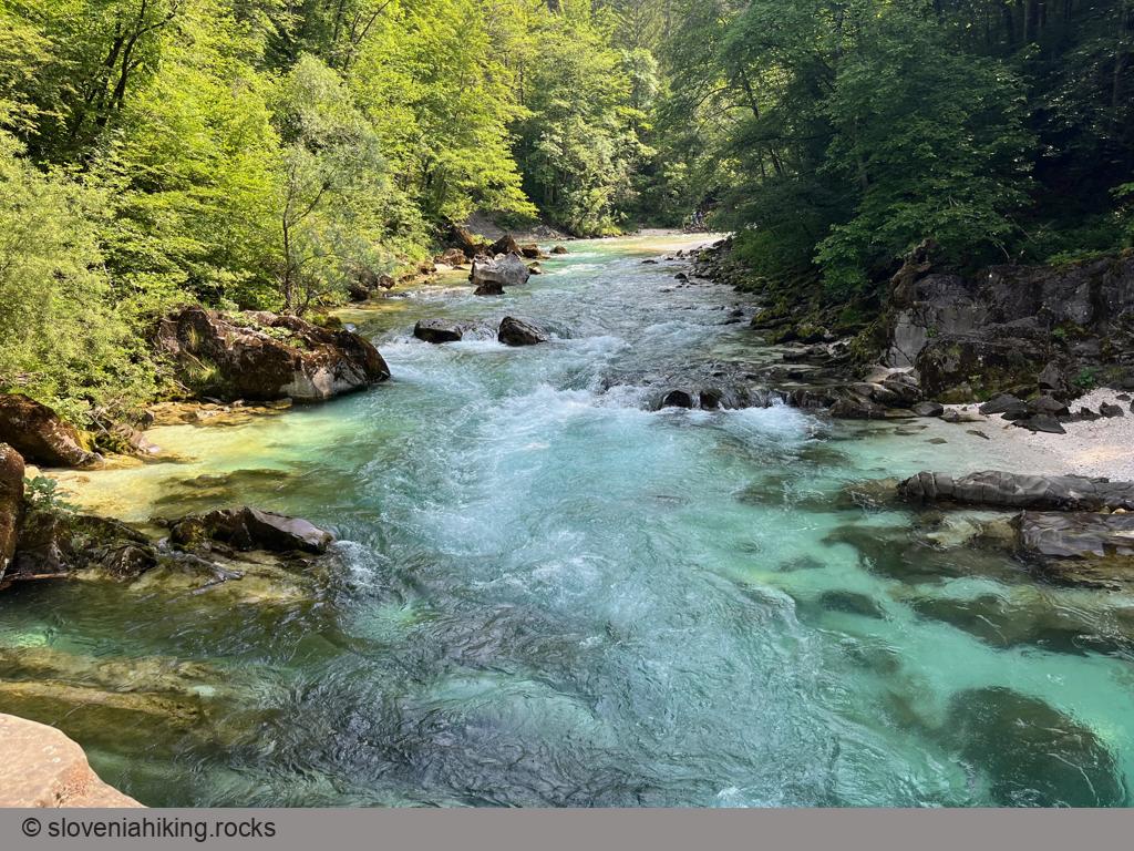
At a Glance
- Difficulty
- Easy hike on roads and footpaths
- Altitude
- 599 m
- Average time
- 3 h
- Elevation gain
- 400 m
- Distance
- 14.2 km
- Coordinates
-
Start: 46.338051,13.552414
Peak: 46.332280,13.588530
In a Nutshell
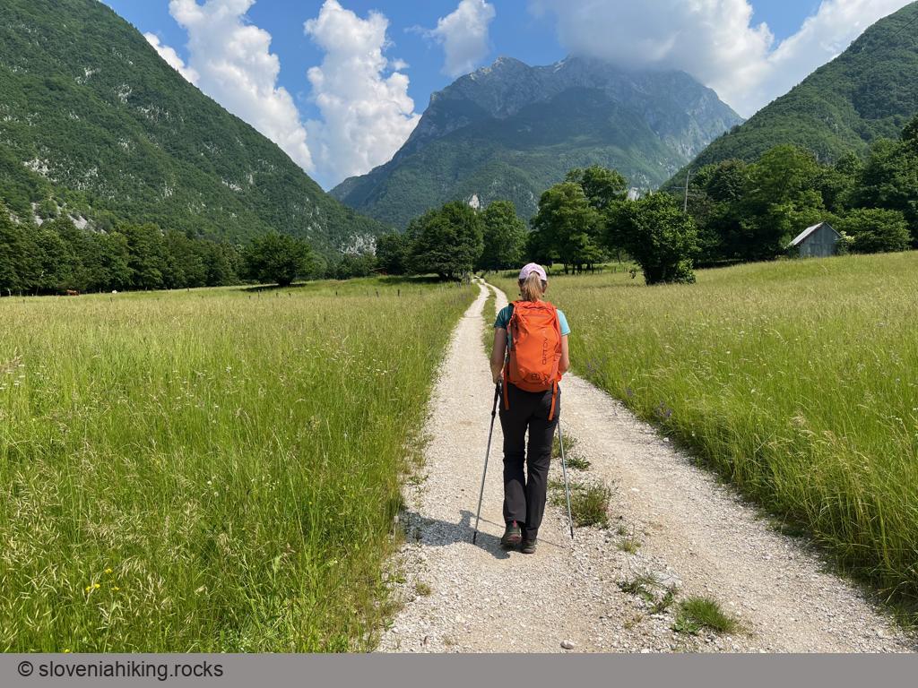
- We started at our accommodation and took the Plajer Trail to Bovec. You’ll probably start in Bovec – most trails begin at the town center.
- We followed the signs for Čezsoča, then turned left toward Jablanca. After a long slog along an asphalt road, we tried out a footpath going right, which brought us back to the road almost exactly at the bridge across Soča.
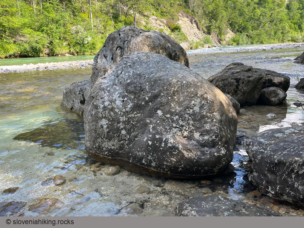
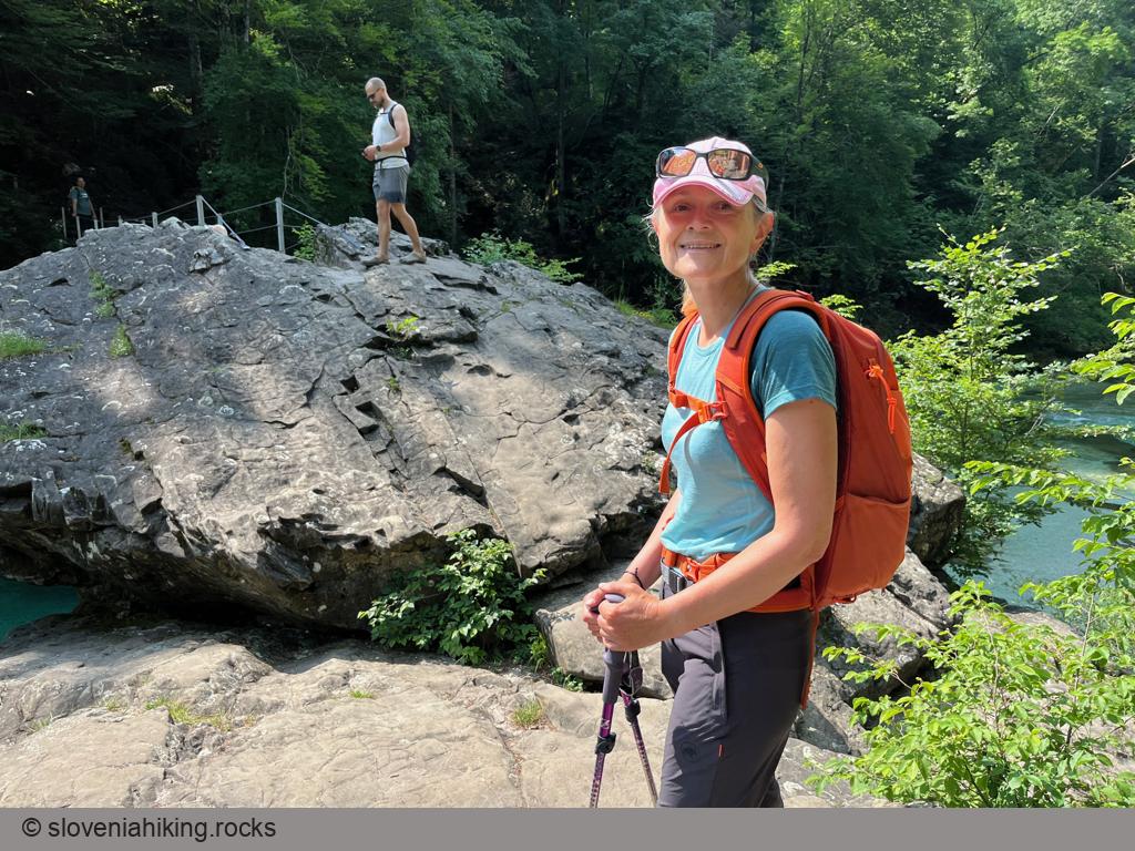
- We crossed Soča and continued toward Brjeka – a magical spot with a massive rock in the middle of the river and a perfect place for a short break.
- It was time to return: we followed the signs for Kal/Koritnica, crossed the village parallel to the main road, turned right to get to the last houses in the village, and then continued left onto a gravel road.
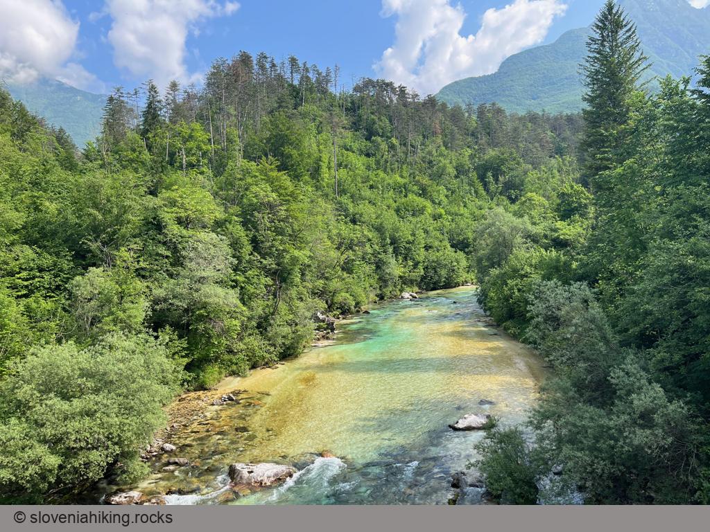
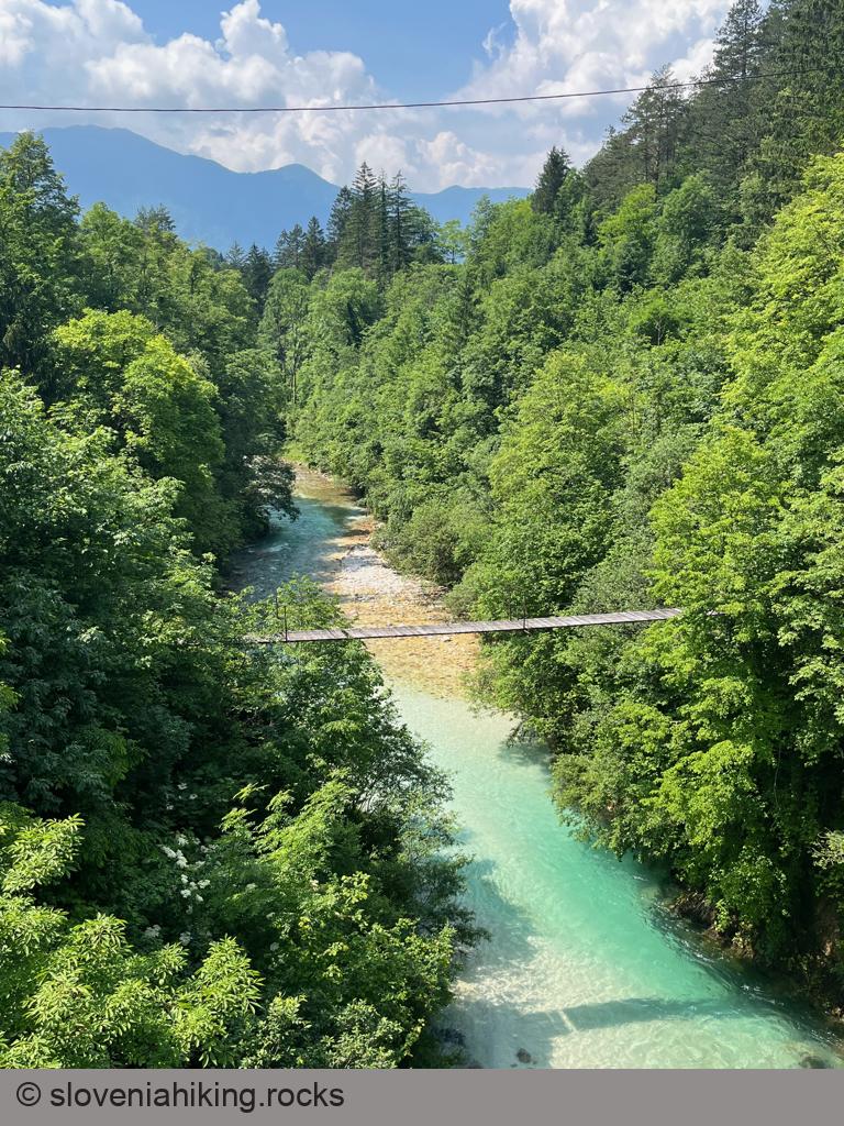
- After a few kilometers, the gravel road brought us to a hanging bridge high above Koritnica.
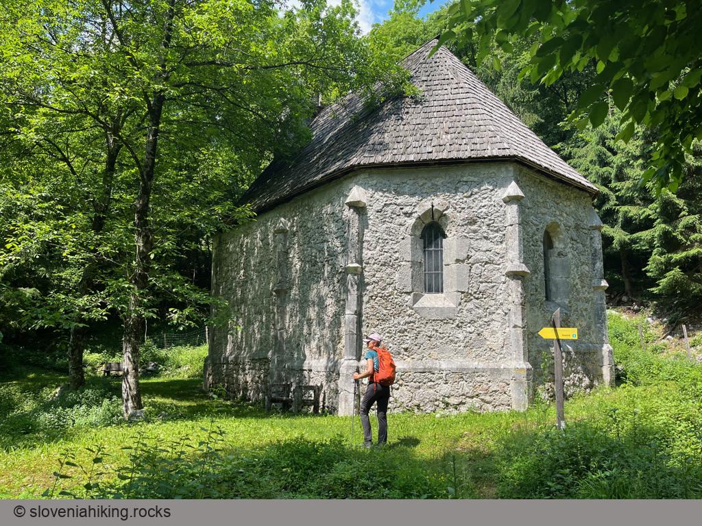
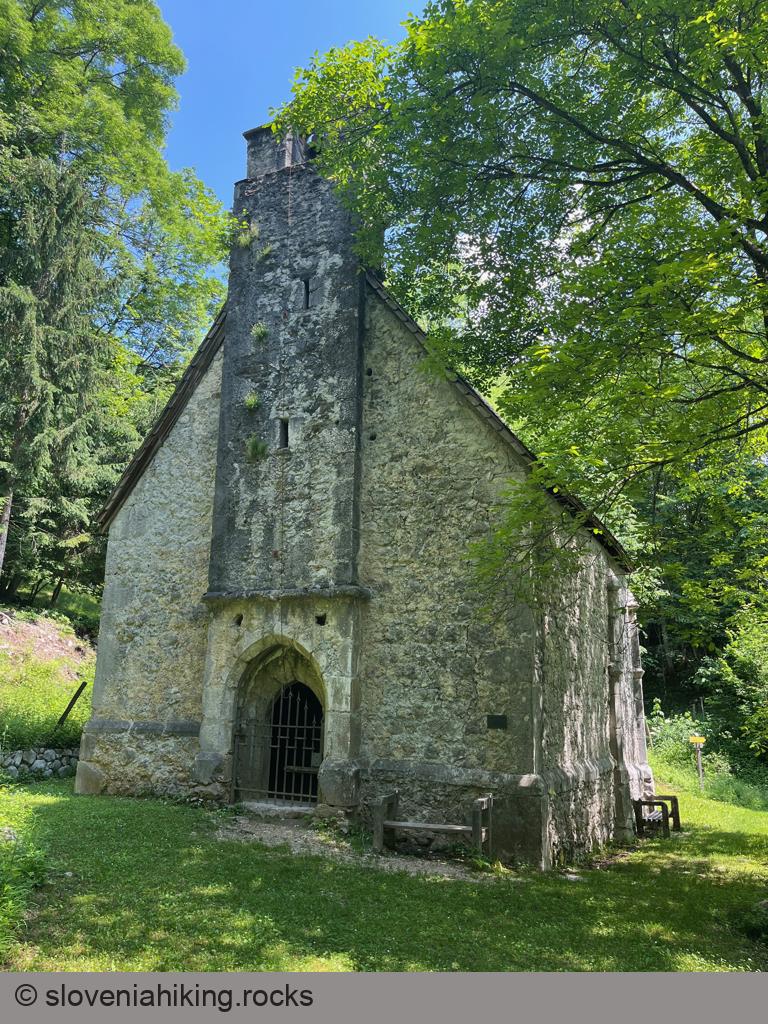
- We spotted a sign for Saint Lenart church along Zgodovinska Pot (History Trail), followed it, and eventually arrived at a tiny church in the middle of the forest – an ideal place for another break.
- The History Trail brings you to the main road, where it’s easy to find trails leading back to Bovec. Have fun; we had to take a different path to return to House Natura. You could also take the uphill asphalt road and return to Bovec via Plajer Trail.
Photo Gallery
Map of the Route
The map shows the path we took as recorded by the GPS receiver. Never trust a GPS track wholeheartedly; rely on your senses and maps.