Hiking in Slovenia » Julian Alps » Goričica Alp (Planina Goričica)
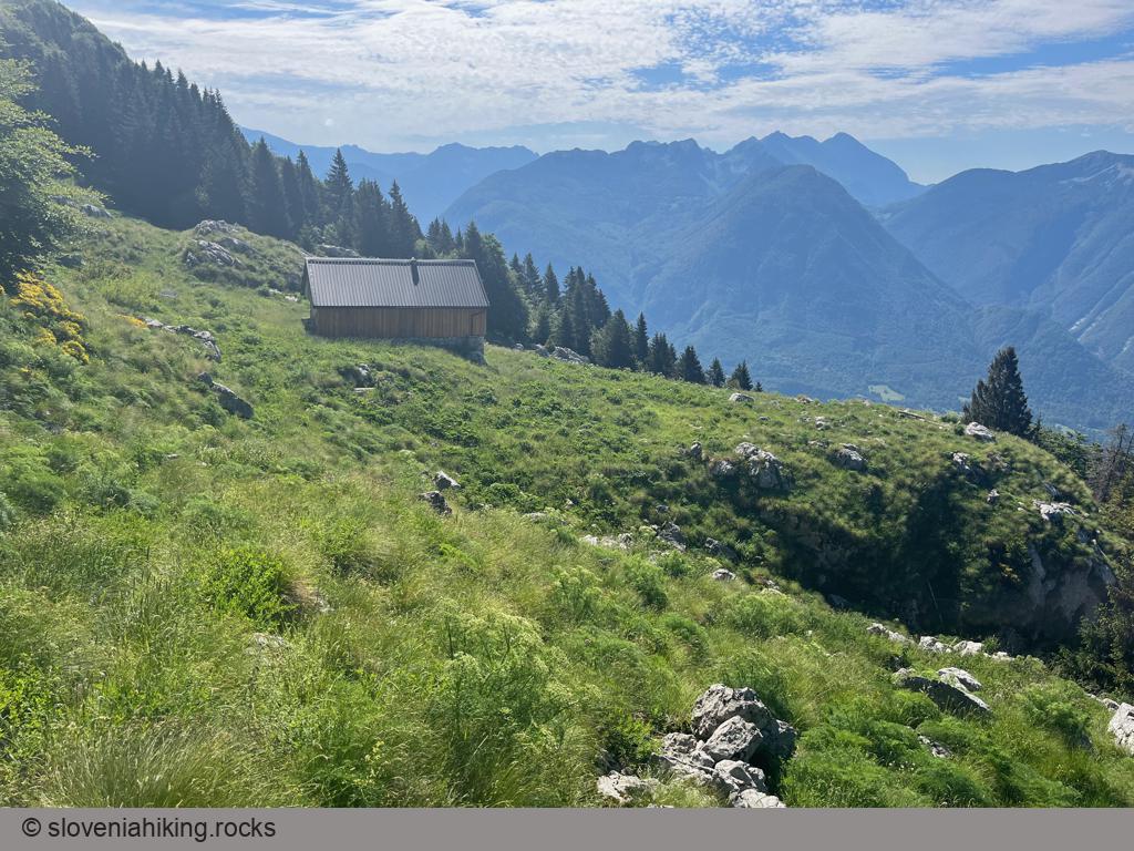
Goričica is a forgotten alp high on the slopes of Kanin massif. It’s a perfect place when you’re seeking solitude – even though a waymarked path crosses the alp, it was utterly overgrown when I was there.
At a Glance
- Difficulty
- Easy hike on an unmarked trail
- Altitude
- 1340 m
- Average time
-
Ascent: 2 hours
Descent: 1 hour 30 minutes
Total: 4 hours
- Elevation gain
- 750 m
- Coordinates
-
Start: 46.342565,13.516039
Peak: 46.353544,13.541699
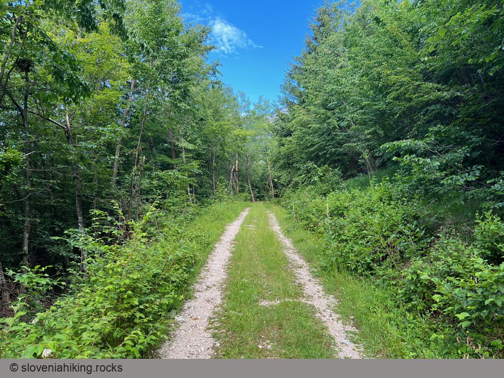
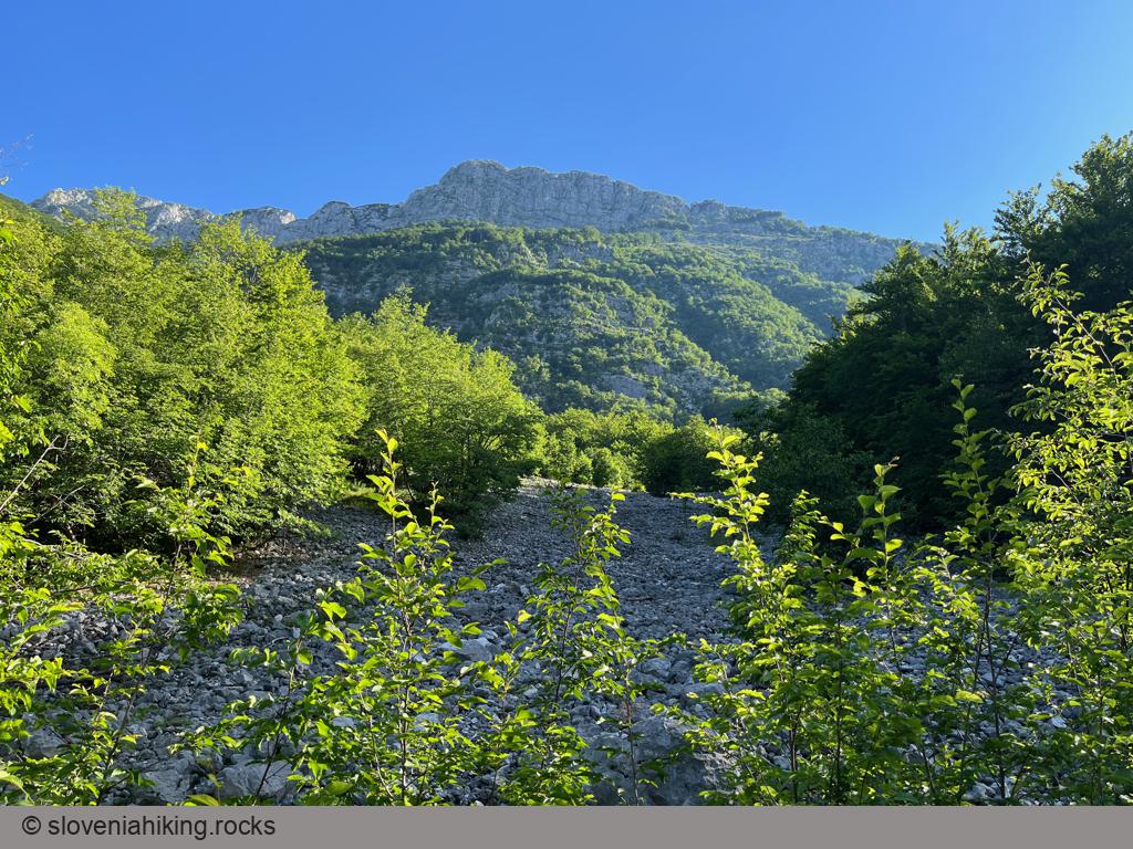
We’ll hike to Goričica on an unmarked mule track (mulattiera). If you’re not comfortable hiking on unknown, unmarked trails, take the waymarked hiking path from Bovec. If you plan to cheat with digital maps, download them in advance – mobile coverage is spotty.
- From Bovec, drive on the gravel road toward Kanin Station B until you reach the point where Kanin mule track crosses the road. Park there.
- Follow signs for Krnica. When the dirt road merges with the waymarked path from Bovec to Krnica, turn left (still following signs for Krnica).
- At the next junction, turn right (the path to Krnica goes left).
- You’ll reach the very last signpost on your hike in a few minutes. Turn right (direction Mulatjera) on a narrowing trail that quickly morphs into a footpath that winds around crags until it reaches Na Vrh Robu (Top of the Cliff).
- At that point, another footpath from Bovec merges with the one you’ve been following. Keep going up; the path will quickly widen into a proper mule track that zig-zags across the woody slopes until it reaches another rock barrier.
- The track narrows again into a footpath, descends a bit to avoid the barrier, and safely brings you to the alp.
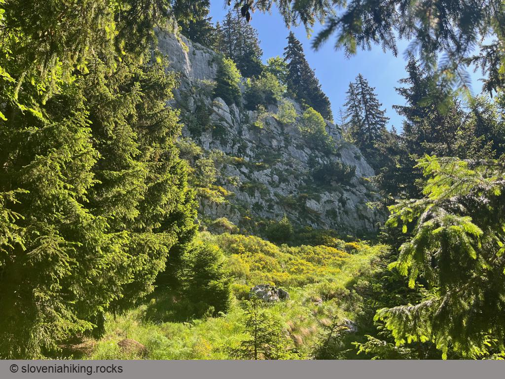
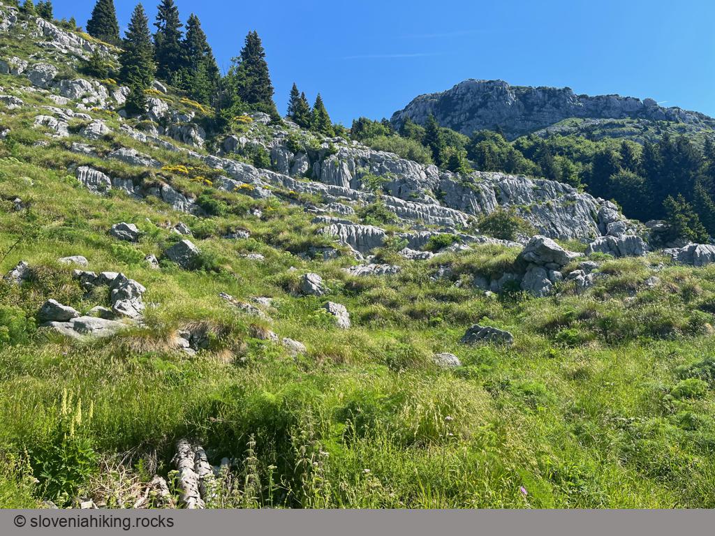
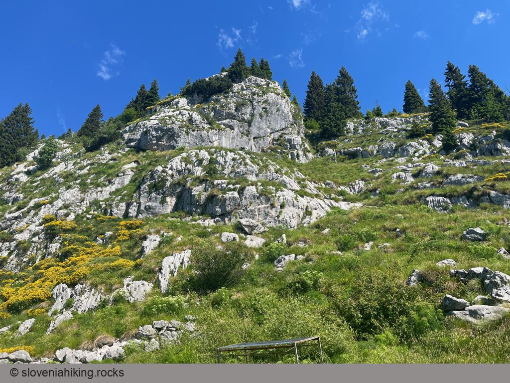
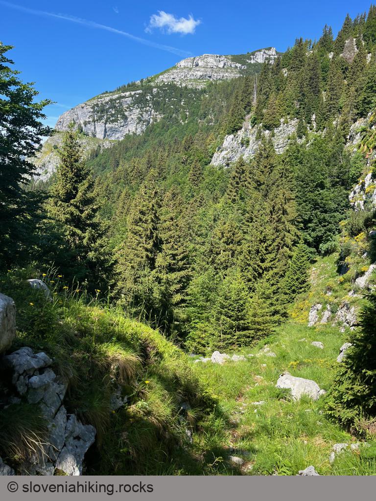
Photo Gallery
Map of the Route
The map shows the path we took as recorded by the GPS receiver. Never trust a GPS track wholeheartedly; rely on your senses and maps.