Hiking in Slovenia » Julian Alps » Konjščica Alp
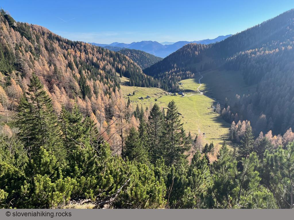
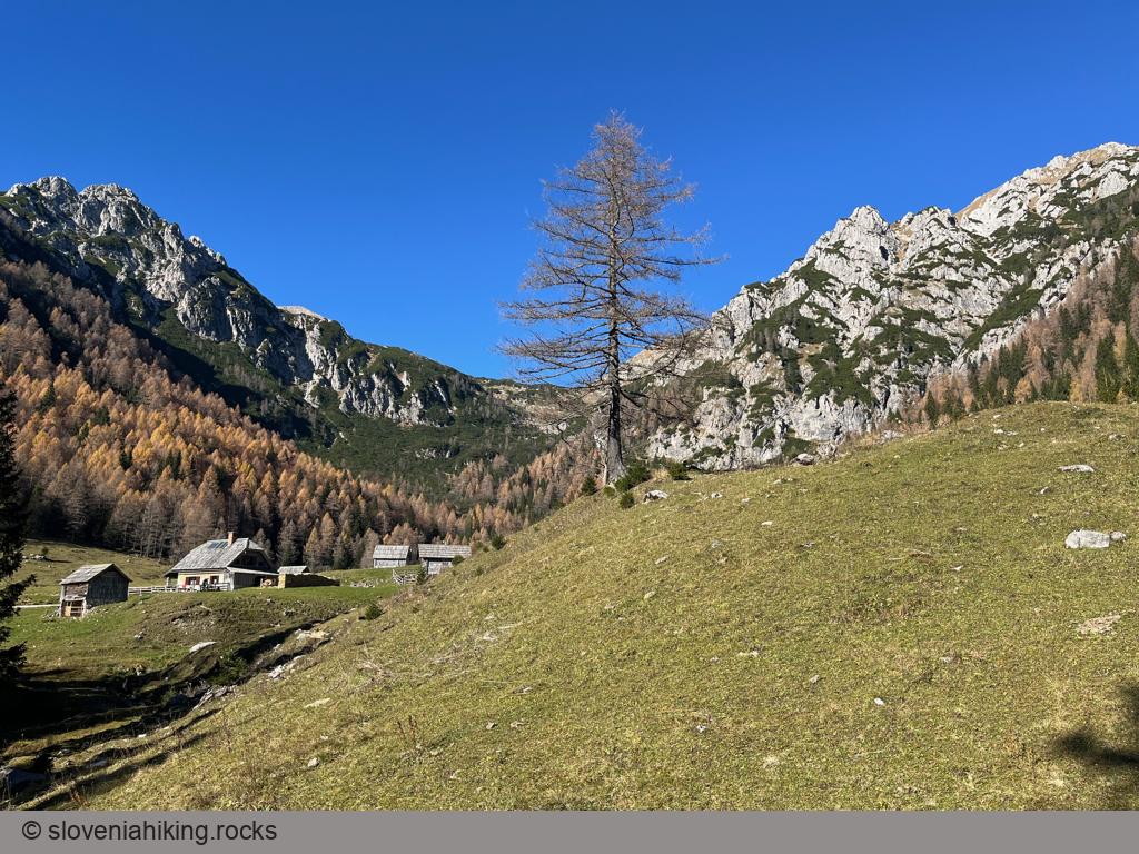
Konjščica is a sunny alp on the western edge of the Pokljuka plateau, nestled between the Viševnik and Ablanca ridges. Getting there from Rudno Polje is an easy hike, making it a perfect half-day family trip.At a Glance
- Difficulty
- Easy hike
- Altitude
- 1440 m
- Average time
-
Ascent: 1 hour
Descent: 45 minutes
Total: 2 hours
- Elevation gain
- 200 m
- Distance
- 4.6 km
- Coordinates
-
Start: 46.345541,13.923588
Peak: 46.348466,13.896153
Getting There and Back
- Park near Sports Center Pokljuka in Rudno polje
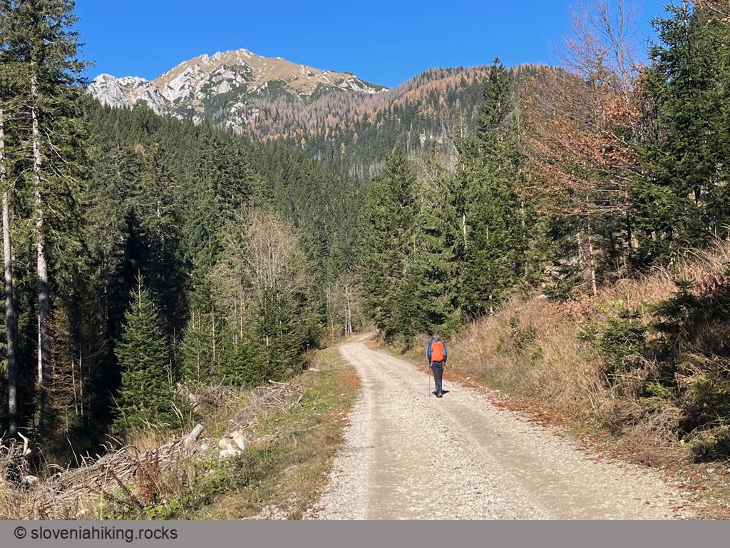
- Follow the signs for Konščica onto an asphalt road that quickly turns onto gravel.
- Keep slightly to the right (there are signs at every junction) until you reach the end of the road.
- Continue onto a dirt trail.
- After a while, turn left (follow the waymarks) onto a narrower footpath that brings you to the alp.
You can use the same path to return to Rudno Polje, take a somewhat more strenuous detour via a path traversing the Viševnik slopes (follow the signs for Rudno Polje onto a path that starts just below the huts), or visit Jezerce Alp and turn your easy walk into a half-day warm-up for longer hikes (3.5 hours, 11 km, 490 m altitude gain).
Photo Gallery
View from the Top
Map of the Route
The map shows the path we took as recorded by the GPS receiver. Never trust a GPS track wholeheartedly; rely on your senses and maps.


