Hiking in Slovenia » Kamnik-Savinja Alps » Okrešelj From Logarska Valley
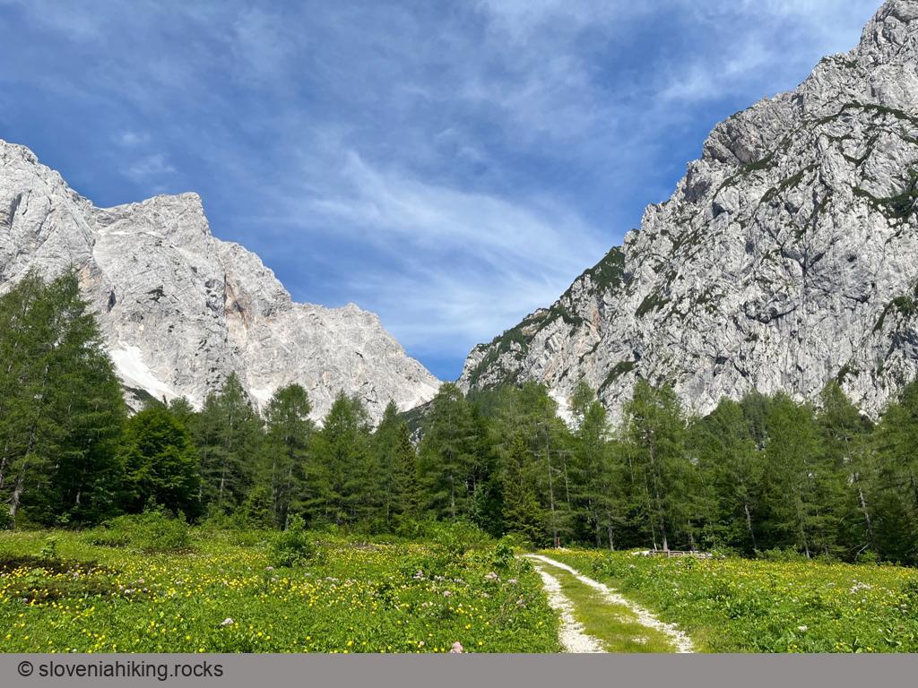
Okrešelj is a phenomenal amphitheater at the end of Logarska Dolina (Logar Valley), surrounded by steep northern walls of the majestic peaks belonging to the main ridge of Kamnik-Savinja Alps.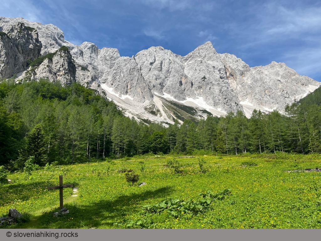
At a Glance
- Difficulty
- Steep rocky footpath
- Altitude
- 1390 m
- Average time
-
Ascent: 1 hour
Descent: 45 minutes
Total: 2 hours
- Elevation gain
- 370 m
- Coordinates
-
Start: 46.369815,14.598915
Peak: 46.369570,14.587618
Before You Start
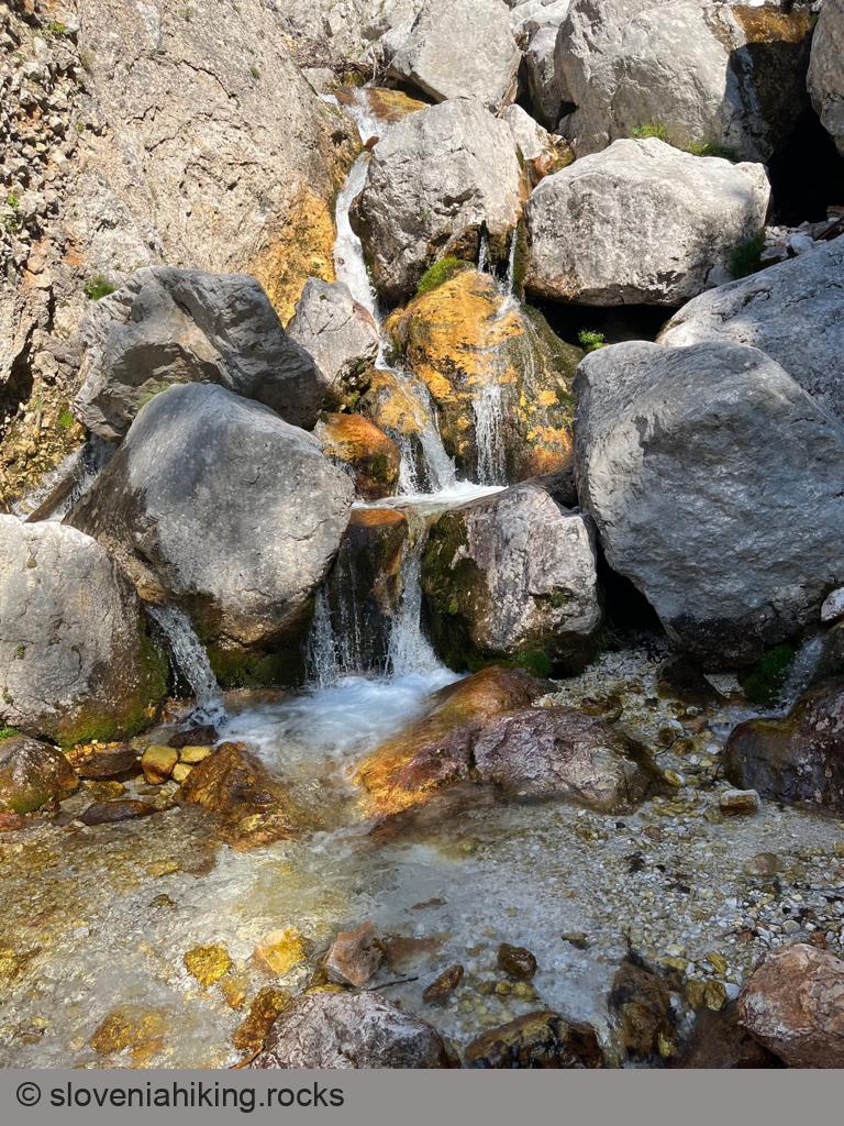
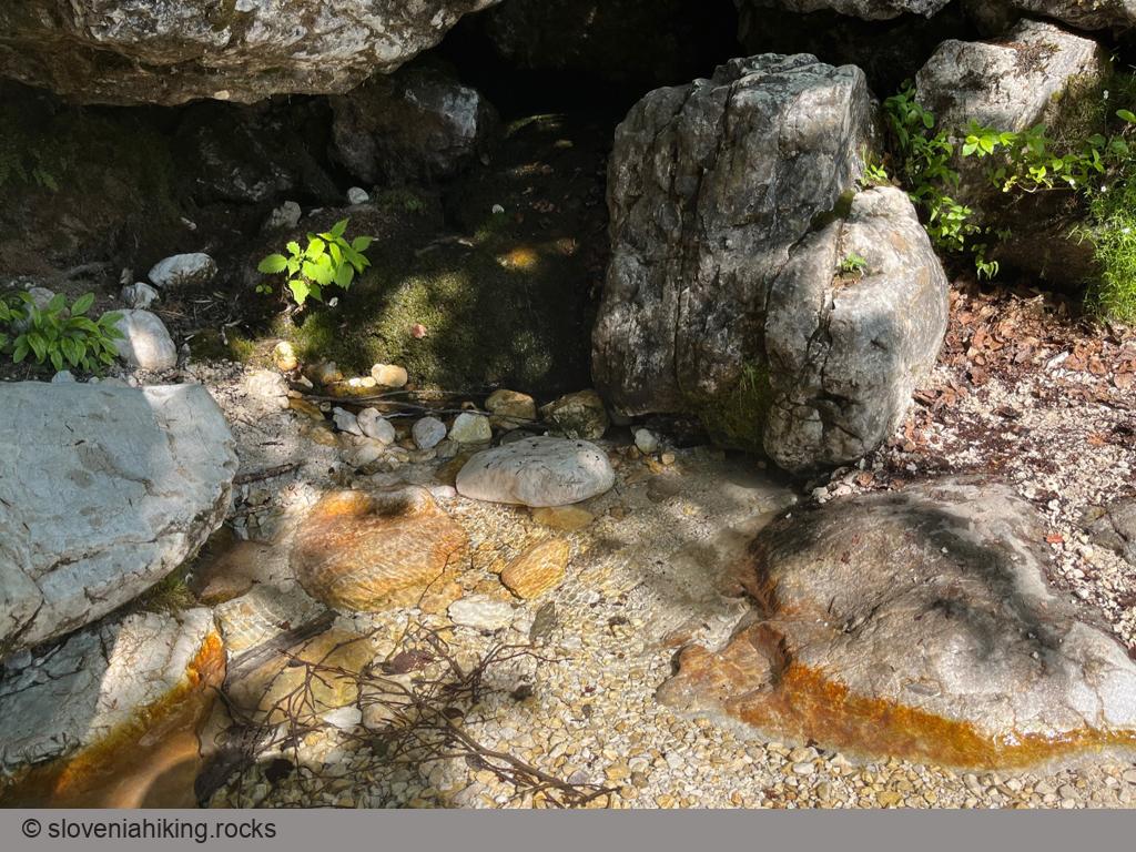
- Most of the time, you’ll be on a sunny rocky terrain with almost no shadow. Take a hat, sunscreen, and plenty of water.
- The path is rockier than one would expect based on its altitude.
- While you’ll inevitably meet tourists wearing goofy shoes, that doesn’t mean they made a good choice. You’ll be more comfortable in decent hiking boots (and your ankles will be grateful).
Getting There
- Park at the end of the valley. Alternatively, leave the car at any public parking lot (a half-dozen of them are scattered around the valley) and use Logarska Dolina Trail to hike to the start of our hike.
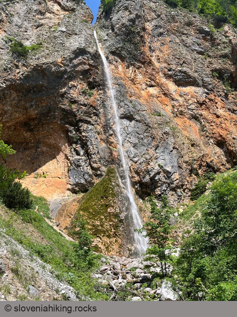
- Take the wide trail toward the Rinka waterfall.
- After admiring the waterfall, cross the bridge and follow the red hiking sign for Okrešelj.
- Stay on the hiking path until you reach the mountain hut.
- After a well-deserved break, continue hiking for a few minutes toward Kamniško Sedlo to reach the beautiful meadows with fantastic views.
Photo Gallery
Map of the Route
The map shows the path we took as recorded by the GPS receiver. Never trust a GPS track wholeheartedly; rely on your senses and maps.