Hiking in Slovenia » Kamnik-Savinja Alps » Češka koča (Czech hut)
Češka koča (Czech hut) is probably the most popular destination in the mountains above Jezersko. At least four marked trails lead to it; we found the one via Štularjeva Planina (Štular’s Alp) by far the most pleasant.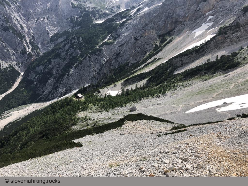
At a Glance
- Difficulty
- A steep hike through a forest followed by a lovely exposed traverse high above the valley
- Altitude
- 1542 m
- Average time
-
Ascent: 1.5 h
Descent: 1 h
Total: 3 h
- Elevation gain
- 560 m
- Coordinates
-
Start: 46.384607,14.536531
Peak: 46.369725,14.535895
In a Nutshell
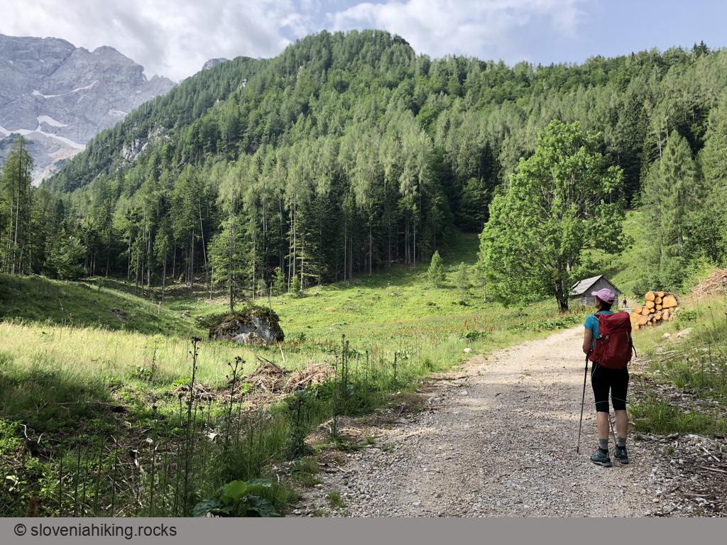
- Park at a large parking lot at the end of Ravenska Kočna (a glacial side valley east of Jezersko).
- Follow signs for Štularjeva planina/Češka koča onto a gravel road that seems to be returning to Jezersko, but only for a few hundred meters.
- The waymarks send you onto a steep dirt road and later onto a footpath crisscrossing the slopes of Visoki Vrh.
- When you get to a gravel road, find the next waymarks or follow the road – you’ll get to Štularjeva Planina (Štular’s Alp) no matter what.
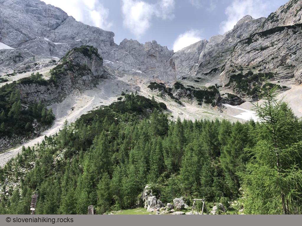
- The steep ascent ends at the meadow and turns into a lovely footpath, gradually traversing the slopes of Špegovec. You’ll encounter tons of protection (steel cables, ladders), but don’t worry. Assuming you have decent hiking boots and are not afraid of heights, you’ll have no problems reaching the destination.
- We made a major mistake testing an alternate path on the way down (see the GPS track). It crossed some very unpleasant terrain and ended on a sunny gravel road almost a kilometer from the parking lot – not exactly an exciting experience in the summer heat.
Photo Gallery

Map of the Route
The map shows the path we took as recorded by the GPS receiver. Never trust a GPS track wholeheartedly; rely on your senses and maps.