Hiking in Slovenia » Slovene Istria » Pomjan Fairy Tale
Pomjan is a village on a hilltop high above the Slovenian coast – an ideal destination for a family excursion or a wake-me-up morning hike starting at the outskirts of Koper.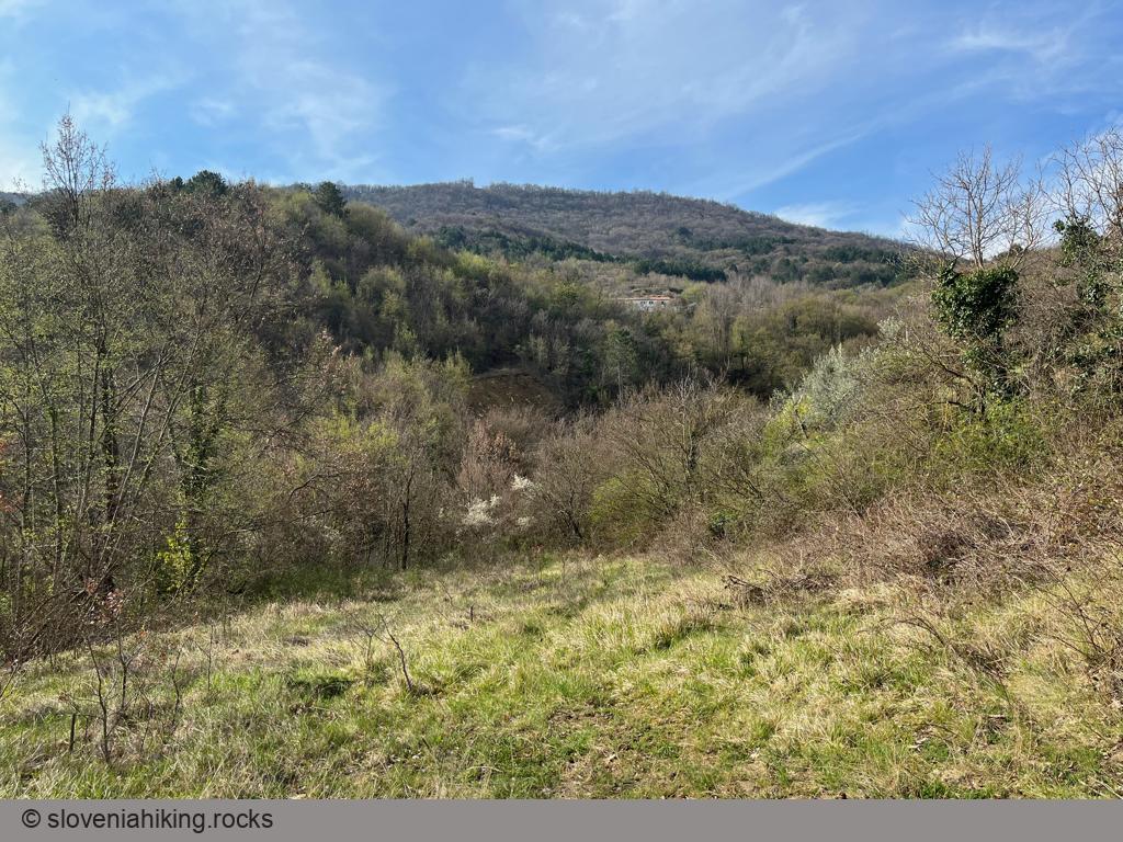
At a Glance
- Difficulty
- An easy hike on dirt trails and footpaths
- Altitude
- 350 m
- Average time
-
Ascent: 1 hour 15 minutes
Descent: 1 hour 15 minutes
Total: 2.5 - 3 hours
- Elevation gain
- 430 m
- Coordinates
-
Start: 45.520707,13.743461
Peak: 45.499566,13.756609
Getting There…
- Park in a small parking lot next to the Koper-Vanganel road.
- Follow the main asphalt road into Kampel (following signs for the shorter path to Pomjan) for almost 1.5 kilometers.
- After the red arrows send you right onto a dirt road, continue onto an ascending footpath (the next waymark is well hidden, but you’ll get there).
- After the footpath crosses a gravel road, it becomes truly picturesque and offers numerous views of Koper and surrounding hills.
- The footpath eventually morphs into a dirt trail and brings you to Pomjan.
- No visit to an Istrian village is complete without visiting the church. Walk to the Church of St. George on the hilltop, and then continue to the marvelous vista point behind the cemetery.
- Enjoy the view of the Gulf of Trieste and Slovenian Istria – from Kavčič on the Croatian border to Socerb on the Italian border.
… and Back
Let’s use a slightly longer path to return to the car:
- Return to the dirt trail you used to get to Pomjan. When reaching the first junction, take the footpath (following the signs for the longer path to Kampel).
- The footpath runs parallel to the ridge until another signpost sends you onto a quickly descending series of hairpins.
- Eventually, the path levels out, crosses a gully, and brings you to a dirt trail.
- Descend on the dirt trail, and keep going on the asphalt road until you get back to your car.
Photo Gallery


Map of the Route
The map shows the path we took as recorded by the GPS receiver. Never trust a GPS track wholeheartedly; rely on your senses and maps.