Hiking in Slovenia » Slovene Istria » Jampršnik
At a Glance
- Difficulty
- Easy hike with a steep section
- Altitude
- 649 m
- Average time
-
Ascent: 1 hour
Descent: 45 minutes
Total: 2 hours
- Elevation gain
- 260 m
- Coordinates
-
Start: 45.499389,13.931462
Peak: 45.509351,13.934133
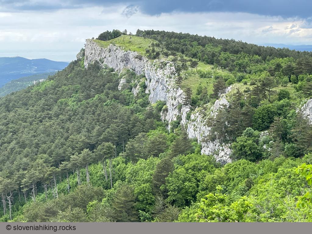
Jampršnik is a barely noticeable peak above the overhanging cliffs of Karst Edge. If you find yourself in Zazid but haven’t been to Slovenian Istria before, don’t waste time going there; the hike to Lipnik or Kavčič is infinitely more picturesque. However, if you’ve visited most of the other peaks along the Karst Edge, Jampršnik might be an attractive alternative destination.
In a Nutshell
- Park in Zazid and start hiking toward Zazid train station (details)
- After crossing the railway tracks, turn left (direction Jampršnik) and follow the dirt road until a red arrow sends you onto a narrow, steep (and slippery) footpath.
- Follow the footpath until you reach the plateau above Karst Edge, then turn left.
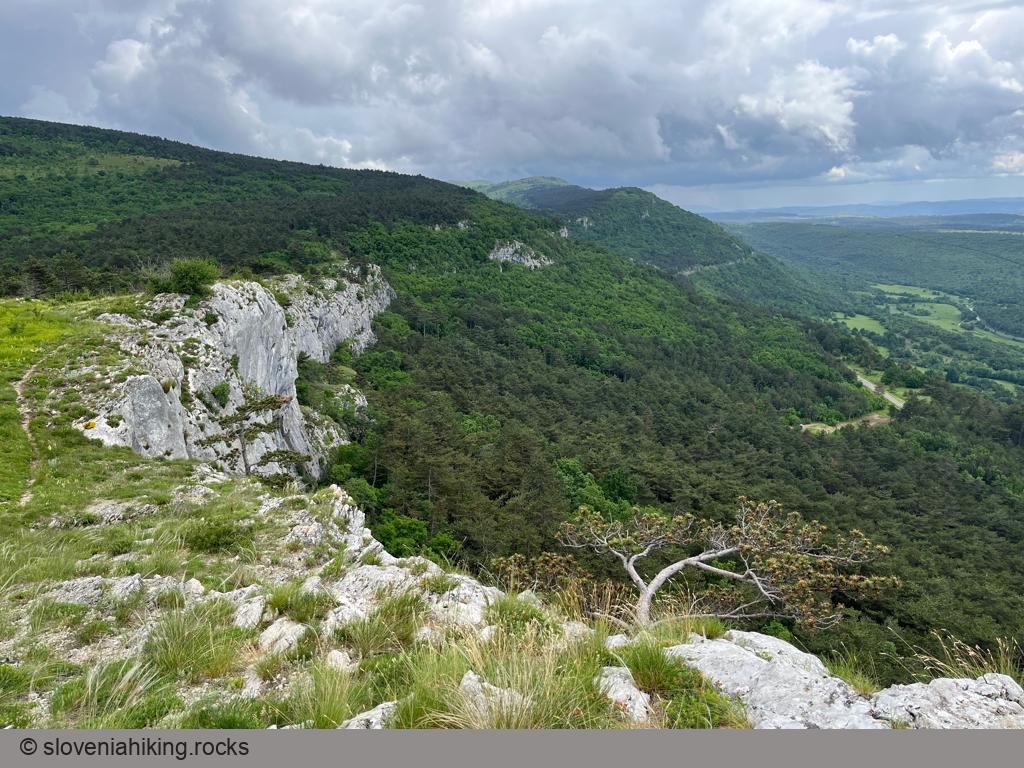
- Follow the path above the overhanging cliffs until you reach the peak.
Going Back
You could use the same trail to return to Zazid or take a detour via Brežec:
- Continue following the marked footpath until it crosses the dirt road, then turn left.
- Follow the dirt road and descend through Brežec. Eventually, you’ll reach the Zazid train station.
Photo Gallery
View from the Top
Map of the Route
The map shows the path we took as recorded by the GPS receiver. Never trust a GPS track wholeheartedly; rely on your senses and maps.


