Biking in Slovenia » Slovene Istria » Biking to Kojnik
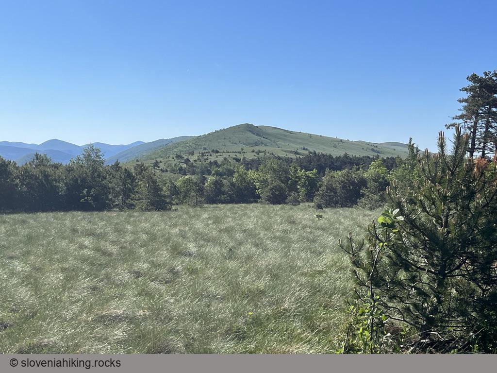
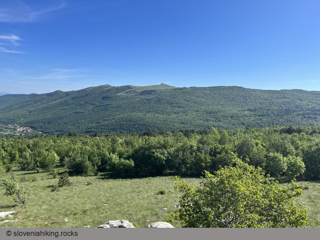
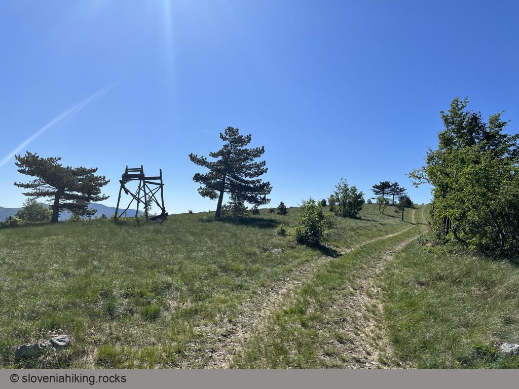
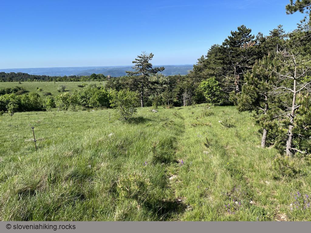
Kojnik is a wooded hilltop south of Slavnik with an excellent view of Slavnik and Golič ridges. Hiking there is mostly an exercise in boredom; it’s much more challenging to get there with a mountain bike.
At a Glance
- Difficulty
- Steep gravel roads, optional single tracks
- Altitude
- 802 m
- Average time
- 2 h
- Elevation gain
- 400 m
- Distance
- 15.5 km
- Starting point
- Podgorje
- Coordinates
-
Start: 45.531420,13.947151
In a Nutshell
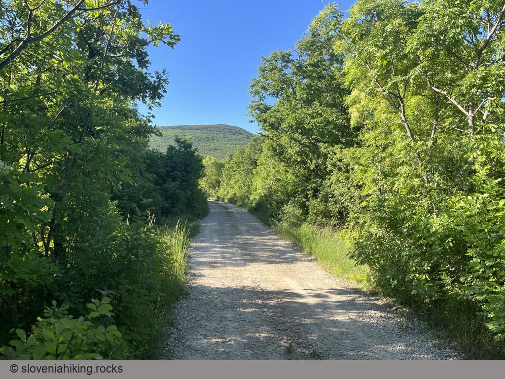
- This tour is a much shorter version of the one up and down the Karst edge. Follow those instructions until approximately 4.4 km, then turn left onto an ascending gravel road. The road ends in a Y-junction; take the left fork.
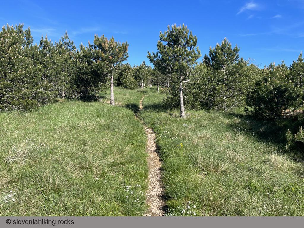
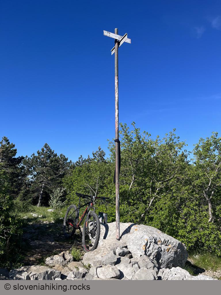
- When you reach the saddle between Kojnik and Golič ridge, follow hiking waymarks left onto a narrow footpath that will quickly bring you to Kojnik. You could also leave the bike there1 and hike to the hilltop; it won’t take you more than a few minutes.
I decided to take a detour toward Golič on the way back:
- Return to the Y-junction and turn left onto the other dirt trail.
- After a short ascent, you’ll notice hiking waymarks. Find an almost invisible overgrown dirt trail leading right (it was just before an electric fence when I was there). If you miss it, you might end on Golič – not a bad idea, but the trip will be significantly longer
- The first few meters of that trail look like an exploded rockslide, but it quickly gets better and more enjoyable.
- When you reach the next dirt road, turn right.
Finally, let’s spice up our return trip to Podgorje. Follow the gravel road going straight for several kilometers until you get to a junction with hiking signs. Turn right and keep on the widest gravel road to get back to Podgorje (DO NOT cross the railway).
-
Lock it to a tree if you think a nefarious individual might drop by. I haven’t seen anyone from the moment I left Podgorje. ↩︎
Map of the Route
The map shows the path we took as recorded by the GPS receiver. Never trust a GPS track wholeheartedly; rely on your senses and maps.