Biking in Slovenia » Slovene Istria » Slavnik from Podgorje (on a bike)
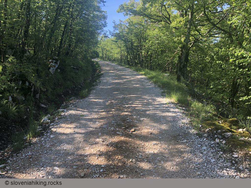
I’m lamenting the loss of the dirt track leading to Slavnik every time I hike there, but the gravel road it was bastardized into comes handy if you decide to get to the top with a mountain bike.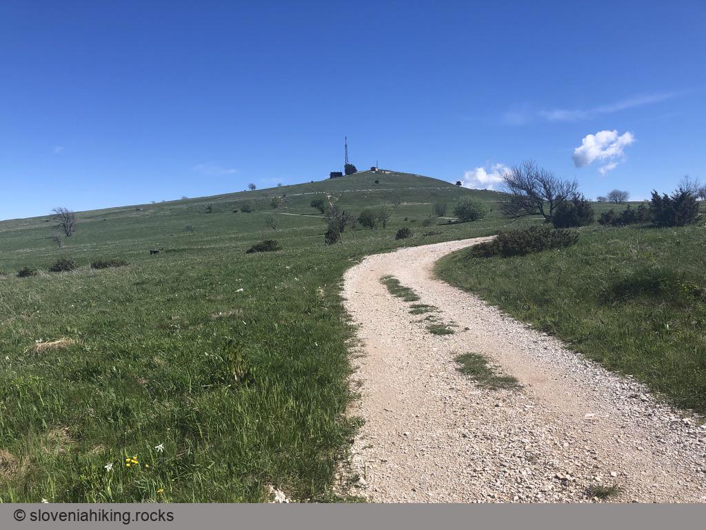
At a Glance
- Difficulty
- Steep gravel road (average slope: 9%, max: over 15%)
- Altitude
- 1015 m
- Average time
- 2 h
- Elevation gain
- 510 m
- Distance
- 12.1 km
- Starting point
- Podgorje
- Coordinates
-
Start: 45.531420,13.947151
In a Nutshell
- Start in Podgorje
- Follow the signs for Slavnik until the village center where the red hiking signs send you into two different directions.
Choose between:
- Marked gravel road: follow the signs pointing right (Slavnik, 1h30m), and red arrows or hiking waymarks whenever in doubt (suggestion: avoid the hiking shortcuts 😎).
- Rockier but not so steep firefighting road: Turn sharp left onto a narrow asphalt road. It quickly turns into a gravel road. Follow uphill-pointing blue (biking) signs.
Map of the Route
The map shows the path we took as recorded by the GPS receiver. Never trust a GPS track wholeheartedly; rely on your senses and maps.