Hiking in Slovenia » Slovene Istria » Podgorje
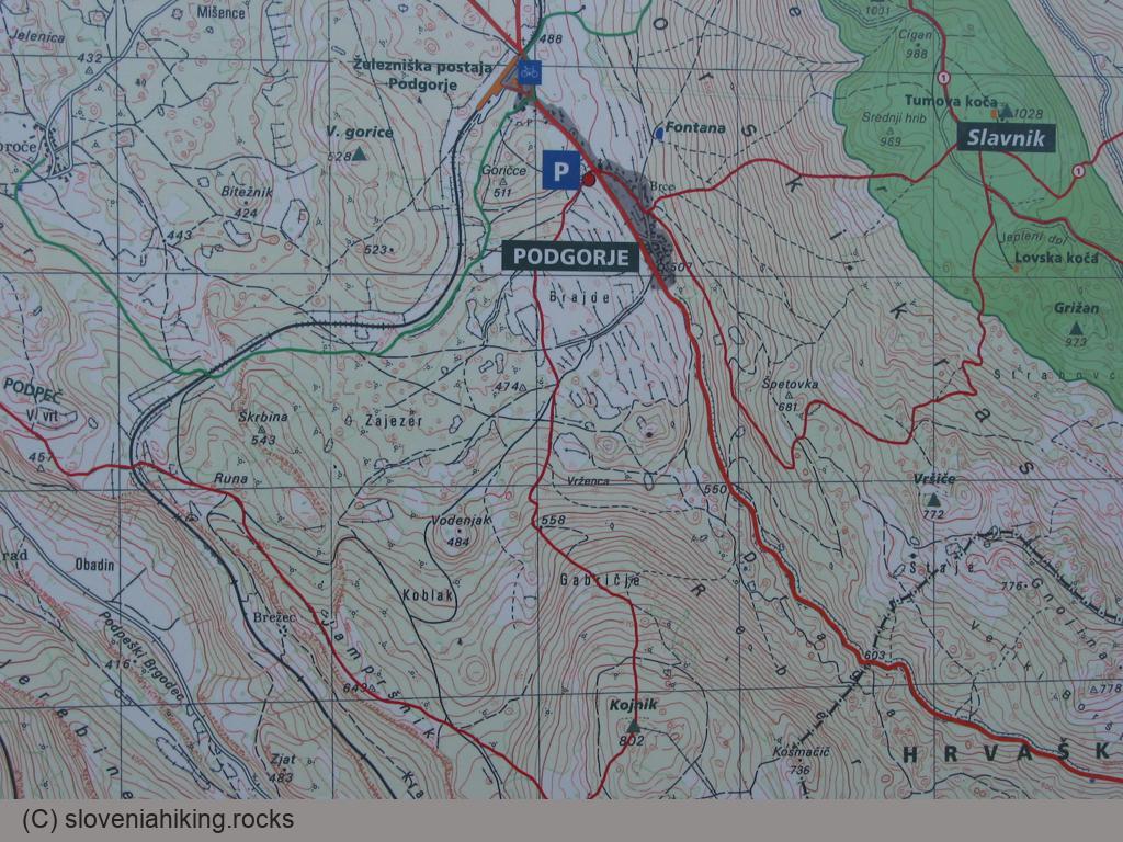
Podgorje is a small village under the southern slopes of Slavnik. Most hikers go to Podgorje for a short hike to Slavnik; if you want to avoid the crowds turn south toward the Karst edge and explore its beautiful views and endless meadows.
There’s a large parking lot at the edge of Podgorje (south of the main road) – don’t try to wing it, park there (even though they charge for it over the weekend).
- Start
- 45.531420,13.947151
Here are just some of the hikes or biking tours you can take from Podgorje:
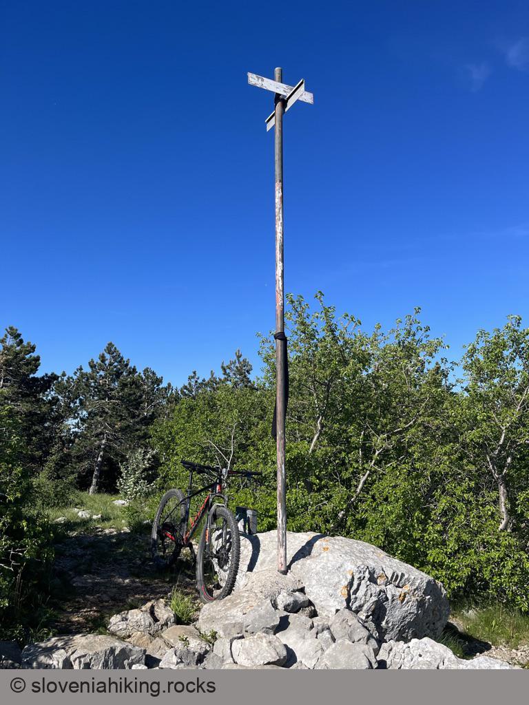
Biking to Kojnik (15.5 km, Δ=400 m)
It was way too hot for May, and I was tired and sunburnt. An early morning tour to Kojnik, a wooded hilltop south of way more popular (and crowded) Slavnik, was precisely what I needed.
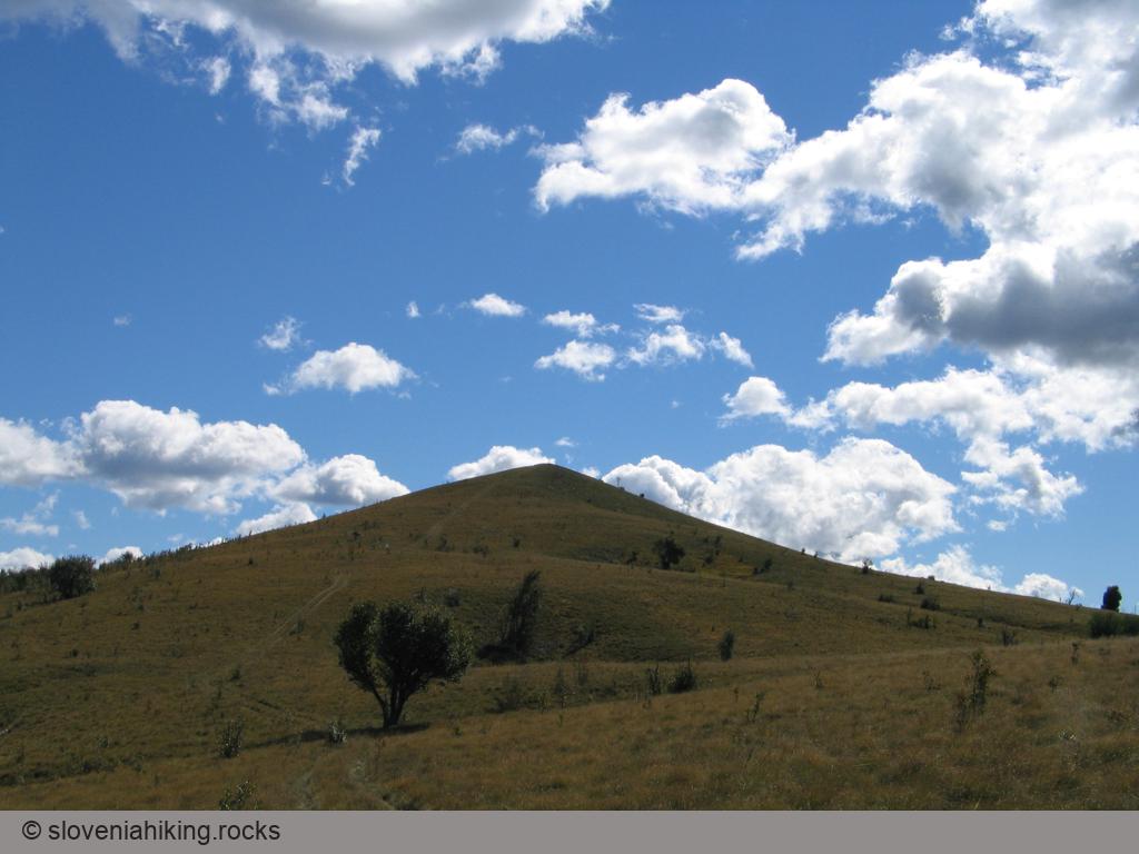
Golič (890 m, Δ=580 m, 5 hours)
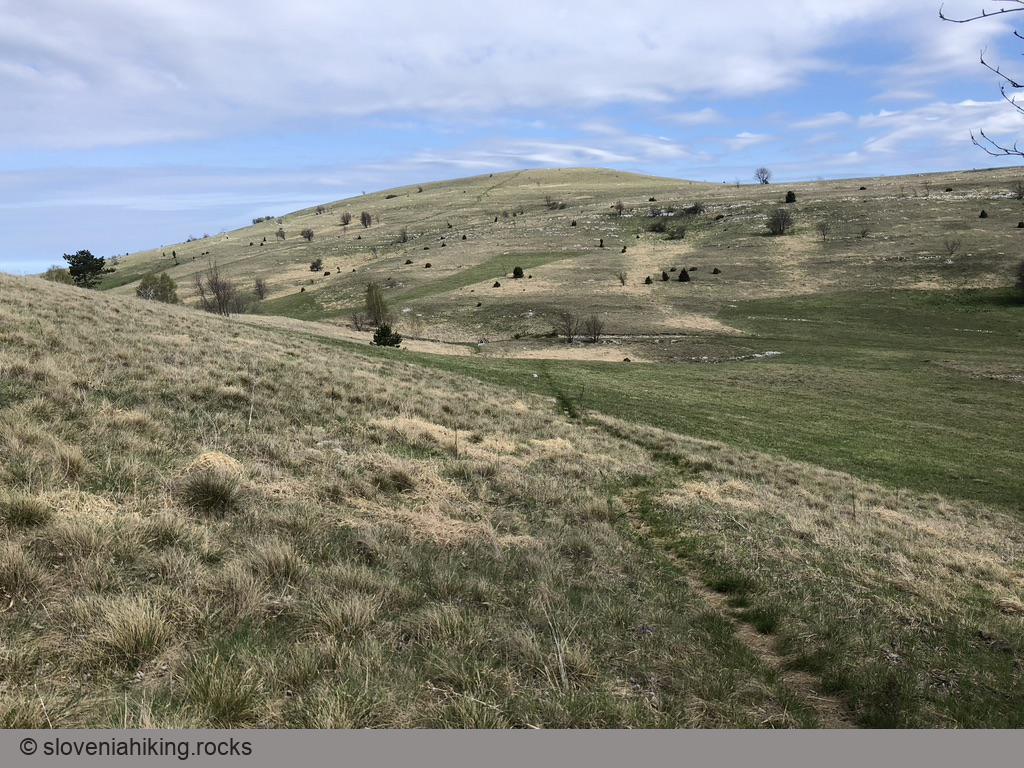
Want to experience expansive meadows with beautiful vistas in the middle of nowhere? Golič, a multi-peak ridge south of Slavnik, might be just what you’re looking for.
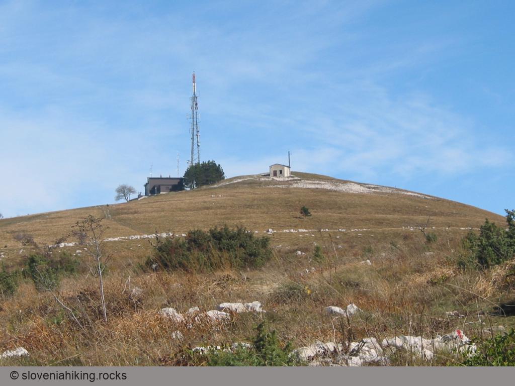
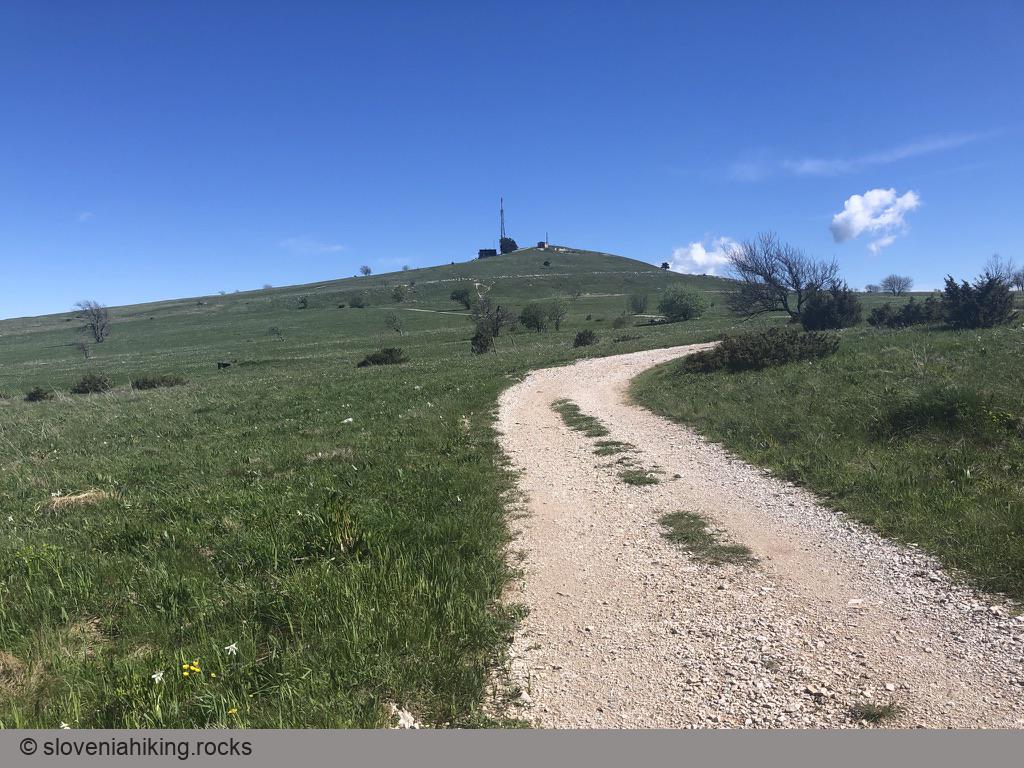
Kojnik (802 m, Δ=290 m, 2 hours)
Kojnik is a wooded hilltop south of Slavnik with an excellent view of Slavnik and Golič ridges. You might want to go there when you see hordes going to the vastly more popular Slavnik; it might also be a lovely destination for a longer family hike.
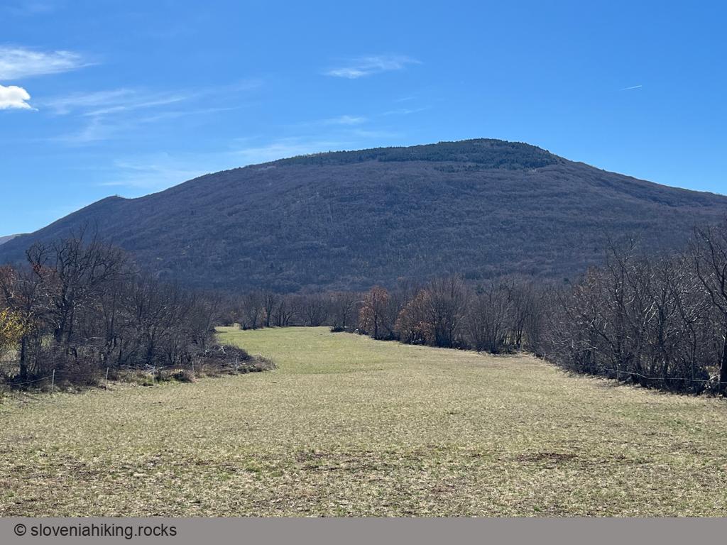
Slavnik and Grmada from Podgorje (1028 m, Δ=510 m, 3 hours)
The shortest routes to Slavnik lead from Podgorje, a small karst village south-west of the mountain, where you’ll find abundance of little paths and cart-tracks across Slavnik’s southern slopes.
Slavnik from Podgorje (on a bike) (12.1 km, Δ=510 m)
I’m lamenting the loss of the dirt track leading to Slavnik every time I hike there, but the gravel road it was bastardized into comes handy if you decide to get to the top with a mountain bike.
Slavnik from Podgorje (steep path) (1028 m, Δ=510 m, 2.5 hours)
Since the overabundance of EU cohesion funds helped transform the old dirt track to Slavnik into a gravel road, I prefer to take the steeper footpath ascending directly toward the peak.
Up, Down and Around the Karst Edge (22 km, Δ=520 m)
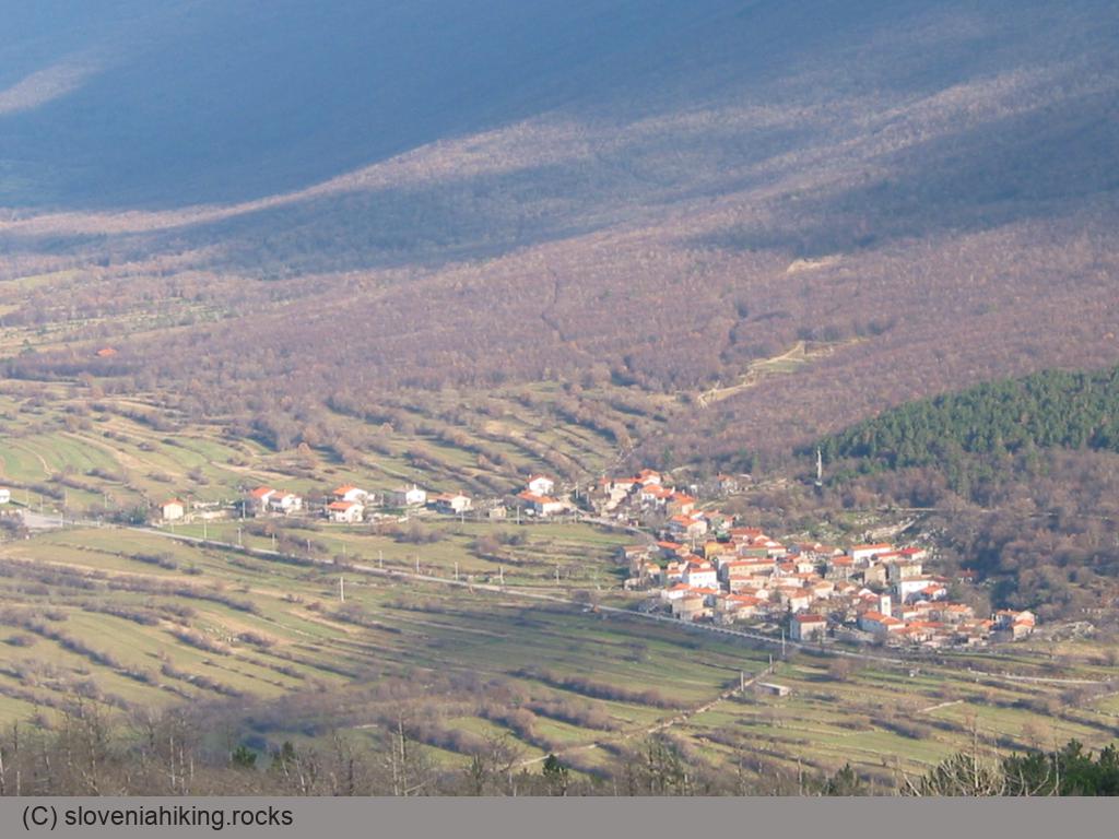
Karst Edge is the wondrous land where the limestone cliffs of continental Slovenia meet the soft flysch landscape of lower Slovenian Istria. This time we’ll explore dirt tracks on its easternmost part – from Podgorje to Kavčič.