Hiking in Slovenia » Slovene Istria » Slavnik » Slavnik from Podgorje (steep path)
Since the overabundance of cohesion funds helped transform the old dirt track to Slavnik into a gravel road, I prefer to take the steeper footpath ascending directly toward the peak.
At a Glance
- Altitude
- 1028 m
- Average time
- 2.5 h
- Elevation gain
- 510 m
- Starting point
- Podgorje
- Coordinates
-
Start: 45.531420,13.947151
Peak: 45.533685,13.975236
In a Nutshell
- Park in Podgorje
- Follow the waymarks and signs for Slavnik until you reach a fork at the center of the village
- To hike on the steeper footpath, take the narrow steeply-ascending road going left. Continue on the main road (right) if you prefer the leisurely hike on a gravel road.
- Waymarks along the wide footpath will safely guide you through a sparse forest and across sunny meadows to the mountain hut on Slavnik.
- Don’t worry about getting lost – there are dozens of footpaths leading to the top. As long as you’re walking on a reasonably-well-trodden ascending trail, you’ll get there.
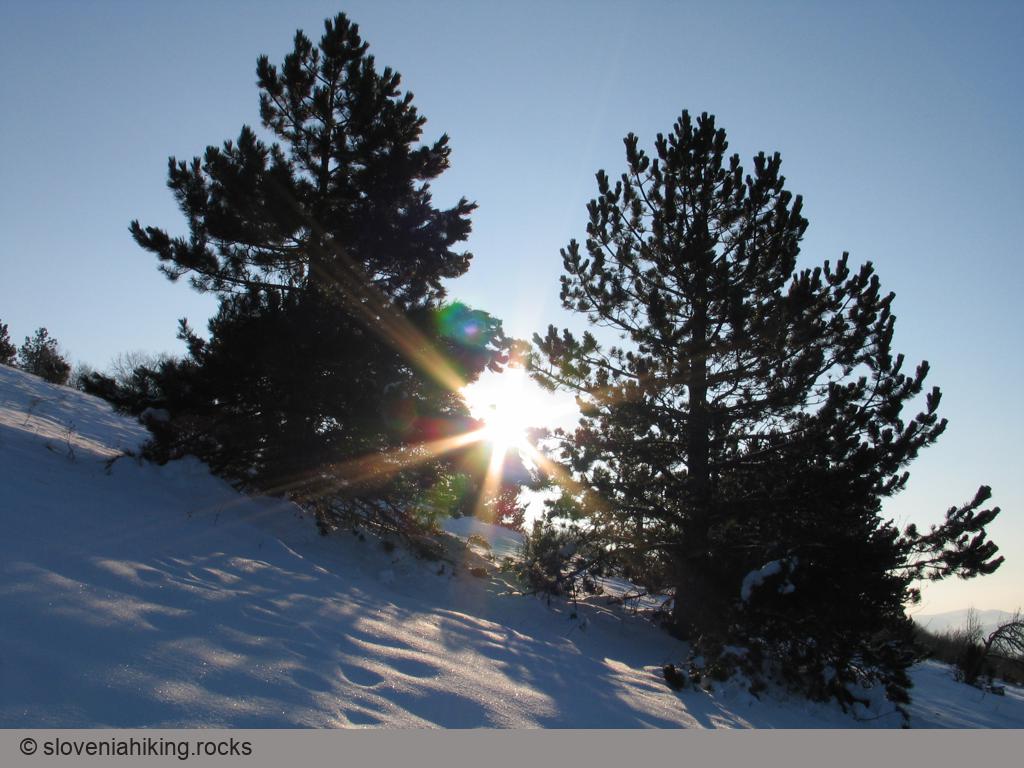
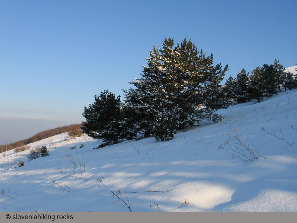
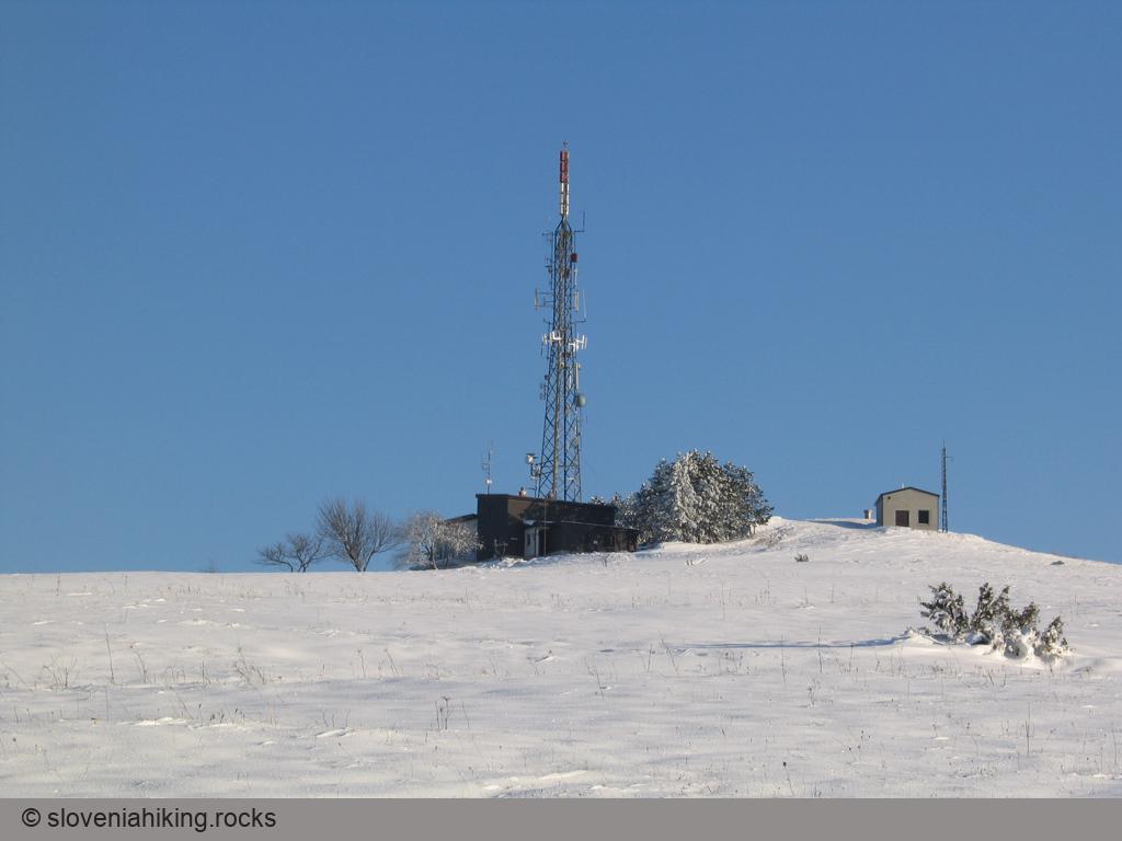
Slavnik in Winter
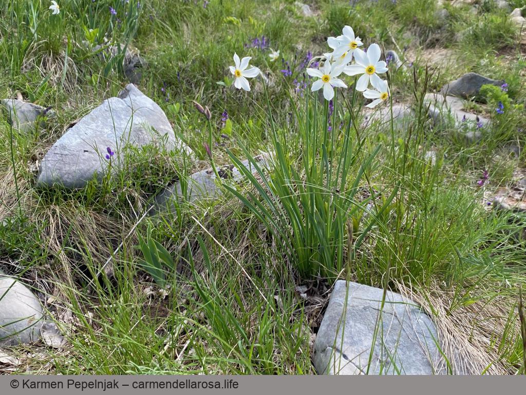
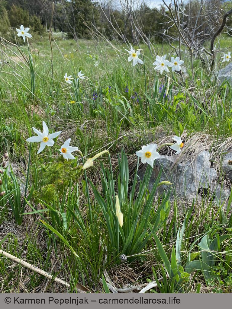
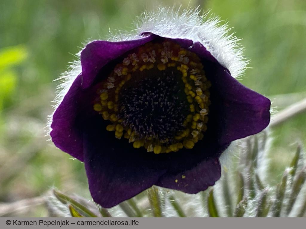
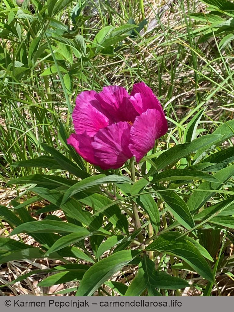
Spring Wildflowers


Map of the Route
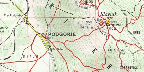
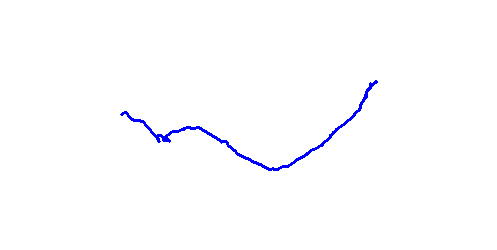
The map shows the path we took as recorded by the GPS receiver. Never trust a GPS track wholeheartedly; rely on your senses and maps.