Regions » Karawanks
Notes
- Red dots on the map are hiking trips with English description;
- Green dots are biking tours.
- Gray dots are hikes without an English description. You might still want to look at the map, enjoy the photos, or use Google Translate on Slovenian text .
Hikes or biking tours with detailed descriptions
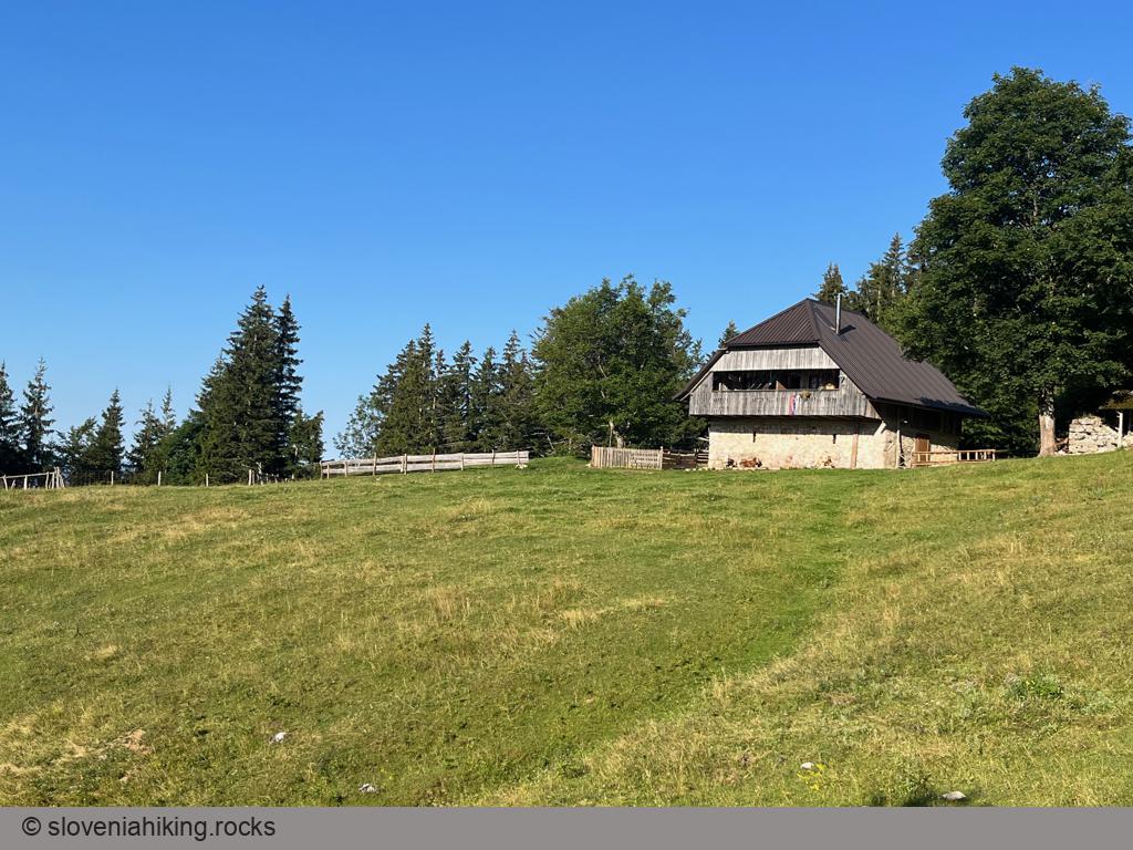
Planinica (1136 m, Δ=450 m, 2 hours)
Planinica is the lowest-lying alp on the southern slopes of Begunjščica ridge. Hiking there will take a tad longer than an hour, and the hut on the alp promises all sorts of local delicacies and even ice cream – a perfect family hike.
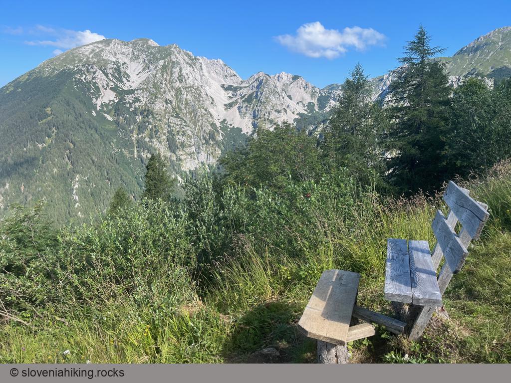
Roblekov Dom (1657 m, Δ=950 m, 5 hours)
Roblekov Dom is a legendary mountain hut high on the slopes of Begunjščica ridge with a great view of Stol, Vrtača, lake Bled, and the Julian Alps with Triglav.
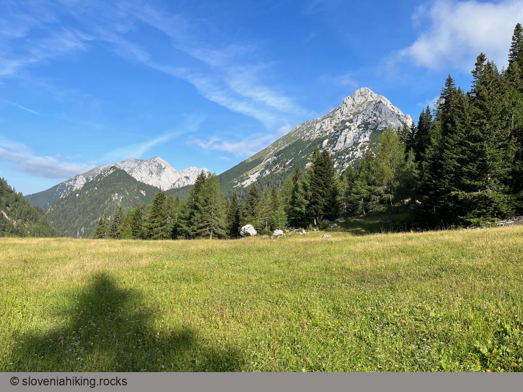
Vrtača (2181 m, Δ=1150 m, 7.5 hours)
Vrtača is one of the highest peaks on the Slovene-Austrian border. It’s a bit off the beaten trail – you’ll be able to enjoy a few quiet moments, but it takes quite a while to get there regardless of where you start.
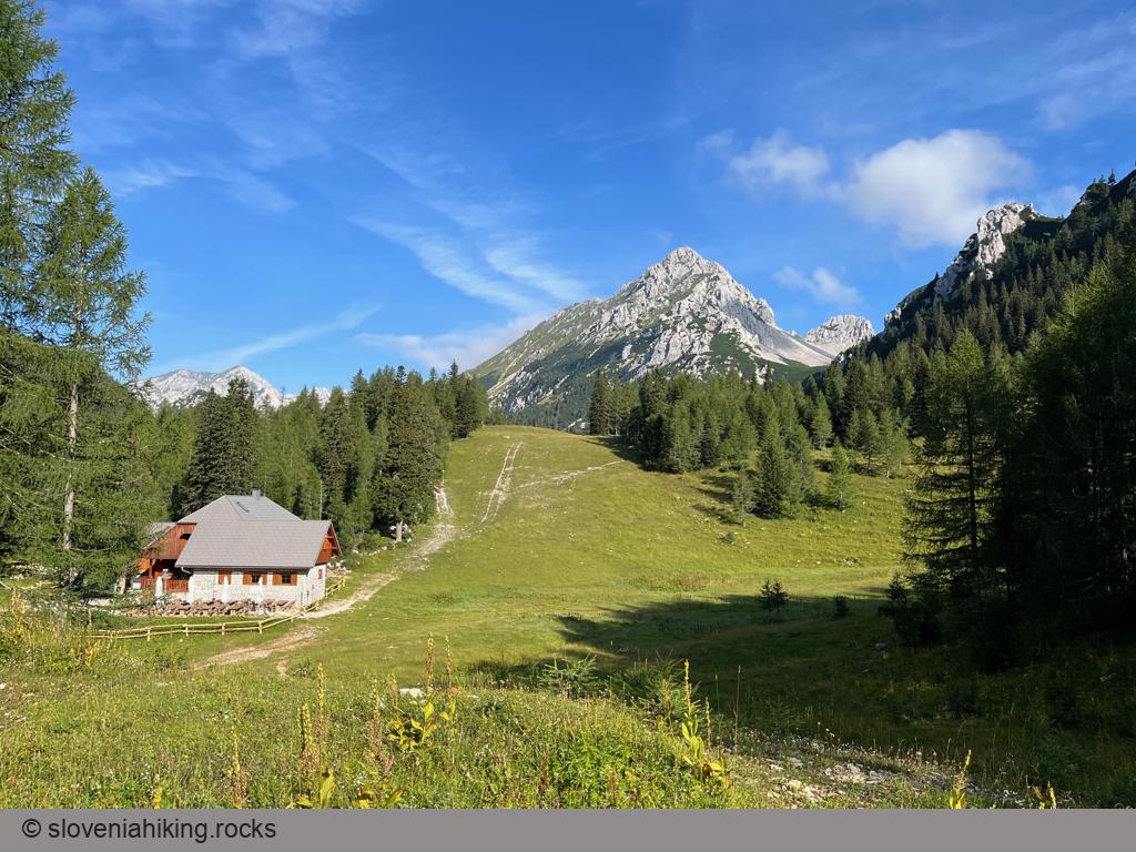
Zelenica (1536 m, Δ=480 m, 2.5 hours)
Zelenica is an alpine pasture in a valley between Begunjščica and Vrtača. It takes a bit more than an hour to hike there from the Ljubelj pass, and there’s a mountain hut at the end of the hike – ideal ingredients for a great family trip.
Other hikes in this region
- Boč (978 m, Δ=650 m, 4 hours)
- Dobrča (1643 m, Δ=920 m, 5 hours)
- Donačka gora (884 m, Δ=290 m, 2 hours)
- Golica (1835 m, Δ=890 m, 5 hours)
- Kladivo (2094 m, Δ=606 m, 6 hours)
- Klek (1753 m, Δ=1150 m, 6 hours)
- Kofce from Dolina (1488 m, Δ=886 m, 4 hours)
- Kofce from Dolžanka meadow (1488 m, Δ=450 m, 3 hours)
- Kofce from Matizovec (1488 m, Δ=416 m, 2 hours)
- Korošica meadow (1554 m, Δ=650 m, 3 hours)
- Košutica (1968 m, Δ=1070 m, 6 hours)
- Kozji vrh (1628 m, Δ=900 m, 4 hours)
- Peca (2125 m, Δ=1200 m, 6 hours)
- Seča meadow (1698 m, Δ=820 m, 4 hours)
- Stegovnik (1692 m, Δ=250 m, 3 hours)
- Veliki vrh (2088 m, Δ=600 m, 3 hours)


