Hiking in Slovenia » Karawanks » Roblekov Dom
Roblekov Dom is a legendary mountain hut high on the slopes of Begunjščica ridge with a great view of Stol, Vrtača, lake Bled, and the Julian Alps with Triglav.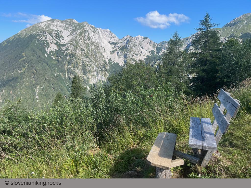
At a Glance
- Difficulty
- Long easy hike
- Altitude
- 1657 m
- Average time
-
Ascent: 3 hours
Descent: 2 hours
Total: 5 hours
- Elevation gain
- 950 m
- Coordinates
-
Start: 46.396022,14.219529
Peak: 46.417716,14.211917
Getting There
- Park in Draga and hike to Planinica.
- Follow the gravel road to Poljška Planina.
- The sign for Roblekov Dom behind the hut on Poljška Planina sends you onto a wide rocky dirt trail. Follow the ever-rockier and ever-steeper trail till you reach the destination.
Note: while it’s easy to get to Roblekov Dom, I encountered hikers who got lost – the waymarks are disgustingly faded and sparse (considering you’re hiking on one of the more popular paths in Slovenian mountains).
Fortunately, I encountered a single glitch: approximately 20 minutes after starting the hike from Poljška Planina, you might notice wooden stairs on the right side of the trail. Ascend those stairs onto an unmarked shortcut, and turn right when you get back to the trail. Failing that, turn sharp right at the next junction onto what appears to be a slightly neglected path (because everyone else has taken the shortcut) – you should encounter the next waymark in a minute or two.
Map of the Route
The map shows the path we took as recorded by the GPS receiver. Never trust a GPS track wholeheartedly; rely on your senses and maps.