Hiking in Slovenia » Karawanks » Planinica
Planinica is the lowest-lying alp on the southern slopes of Begunjščica ridge. Hiking there will take a tad longer than an hour, and the hut on the alp promises all sorts of local delicacies and even ice cream – a perfect family hike.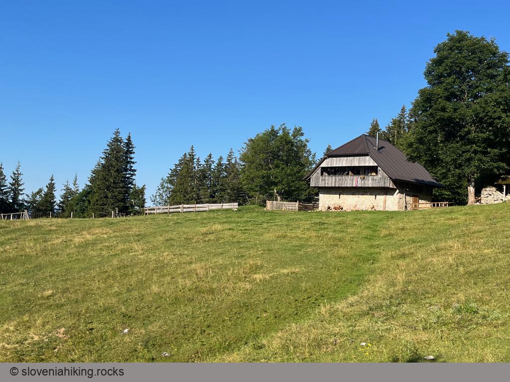
At a Glance
- Difficulty
- Easy hike
- Altitude
- 1136 m
- Average time
-
Ascent: 1 hour 15 minutes
Descent: 45 minutes
Total: 2 hours
- Elevation gain
- 450 m
- Coordinates
-
Start: 46.396022,14.219529
Peak: 46.409088,14.214936
In a Nutshell
- Drive to Gostišče Draga (Draga Inn) north of Begunje, and park somewhere nearby. There are two decently large public parking lots a few hundred meters up the road.
- Follow the road for approximately 1.7 km (slightly less than half an hour).
- You’ll notice a rocky trail decorated with a faded waymark going left into the forest on one of the right bends. Follow that trail (it’s so broad that it’s impossible to miss).
- The trail crosses a gravel road a few times, and it’s not always obvious where it continues. Use your scouting skills and look beyond the roadside bushes to spot an occasional waymark.
- When the trail brings you to a dirt road at the lowest edge of the alp, you’ll find your path blocked by a barbed wire. What a welcome!
- Turn right, following a sign that’s about to peel off from a tiny wooden board. Follow the gravel road (or a shortcut across the meadow) to the hut on the alp.
Photo Gallery

Map of the Route
The map shows the path we took as recorded by the GPS receiver. Never trust a GPS track wholeheartedly; rely on your senses and maps.