Hiking in Slovenia » Karawanks » Vrtača
Vrtača is one of the highest peaks on the Slovene-Austrian border. It’s a bit off the beaten trail – you’ll be able to enjoy a few quiet moments, but it takes quite a while to get there regardless of where you start.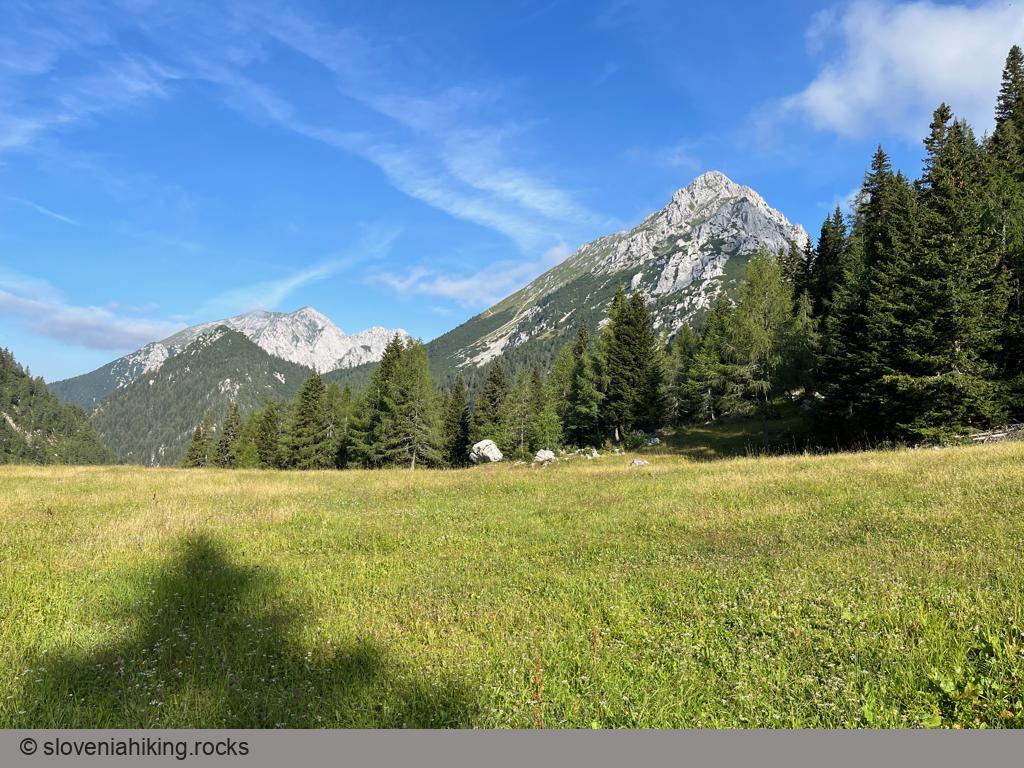
At a Glance
- Altitude
- 2181 m
- Average time
- 7.5 h
- Elevation gain
- 1150 m
- Coordinates
-
Start: 46.432068,14.259282
Peak: 46.439900,14.212625
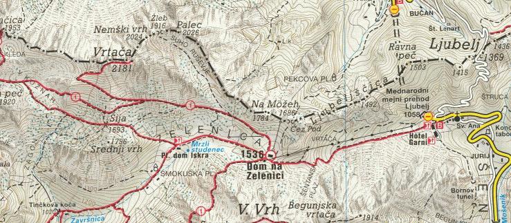
Getting There
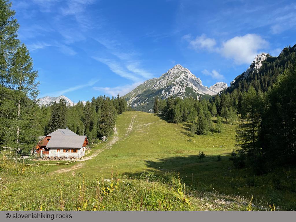
- Park at Ljubelj Pass and hike to Zelenica (1 hour 15 minutes)
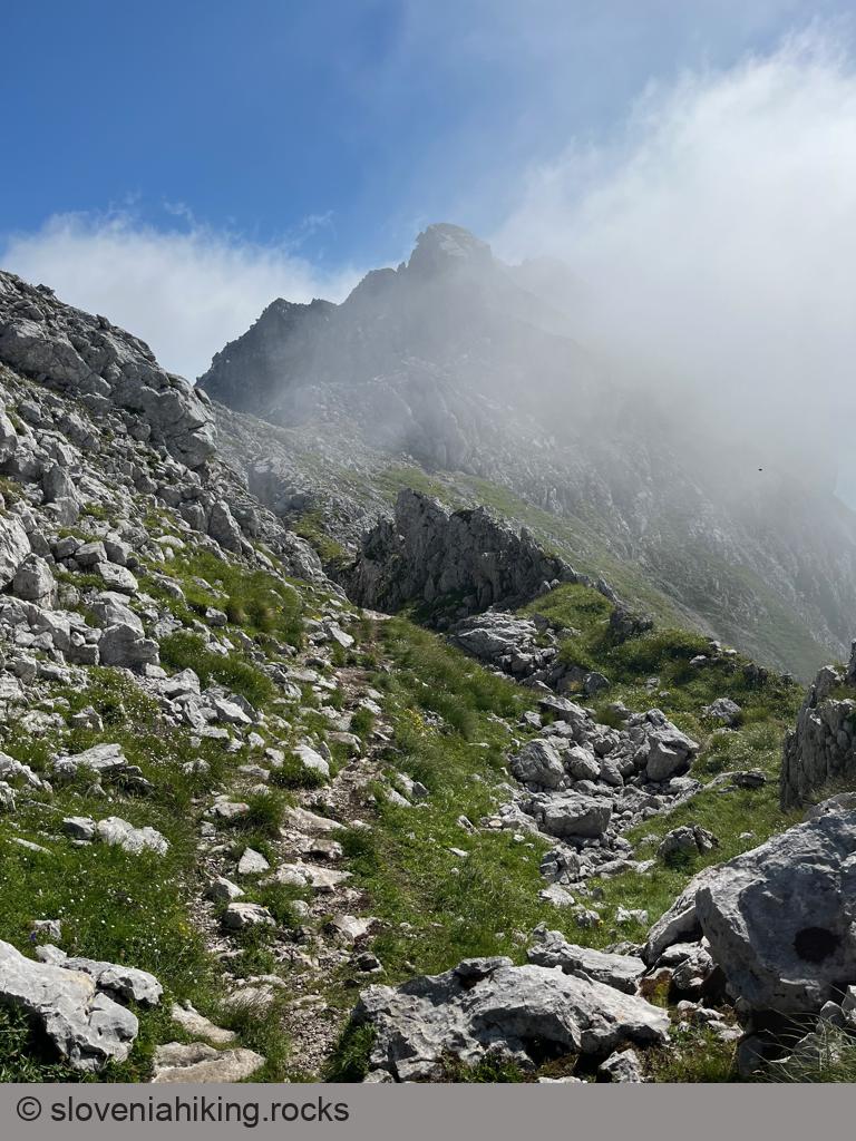
- Follow the signs for Vrtača. The footpath is well-used and thus impossible to miss in fair weather (but sparingly marked – don’t push your luck in fog or rain).
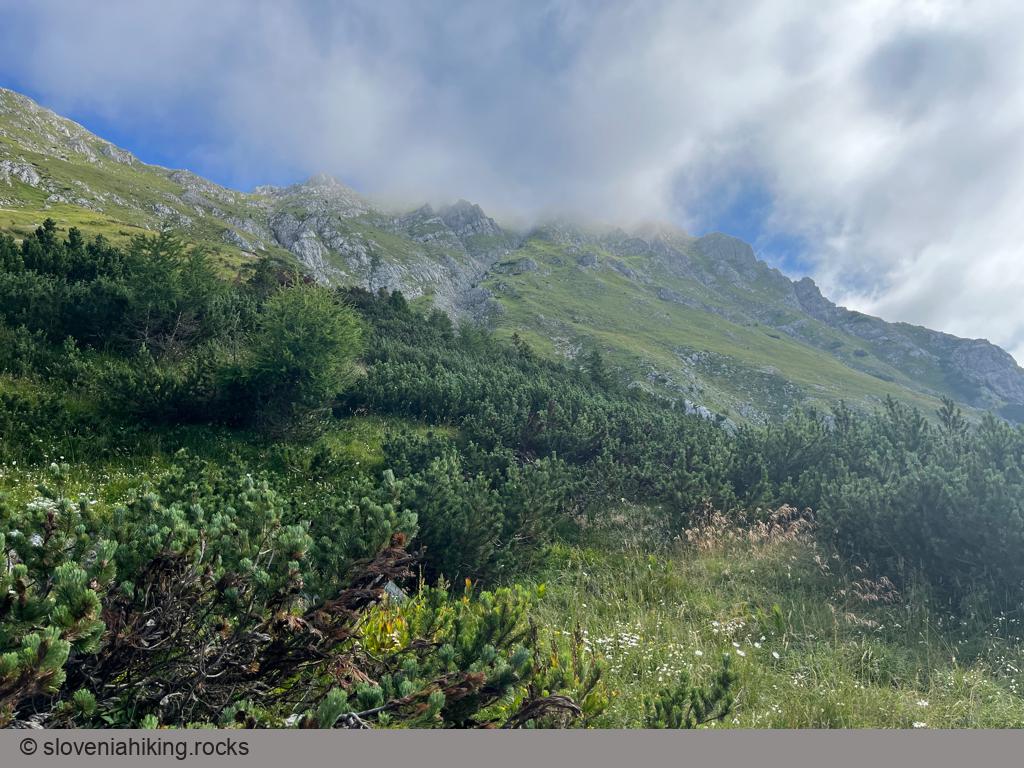
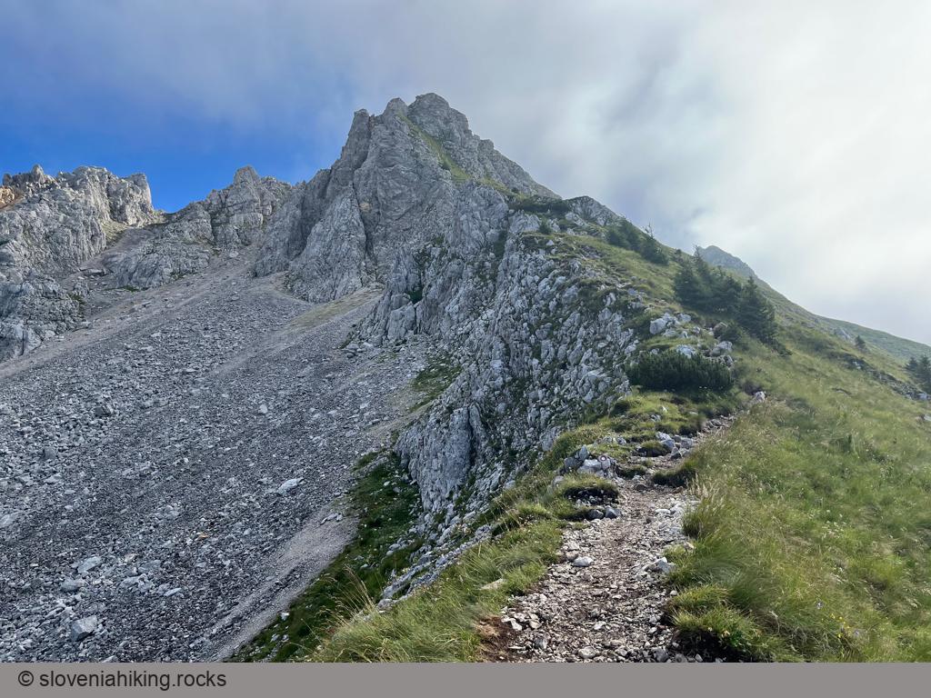
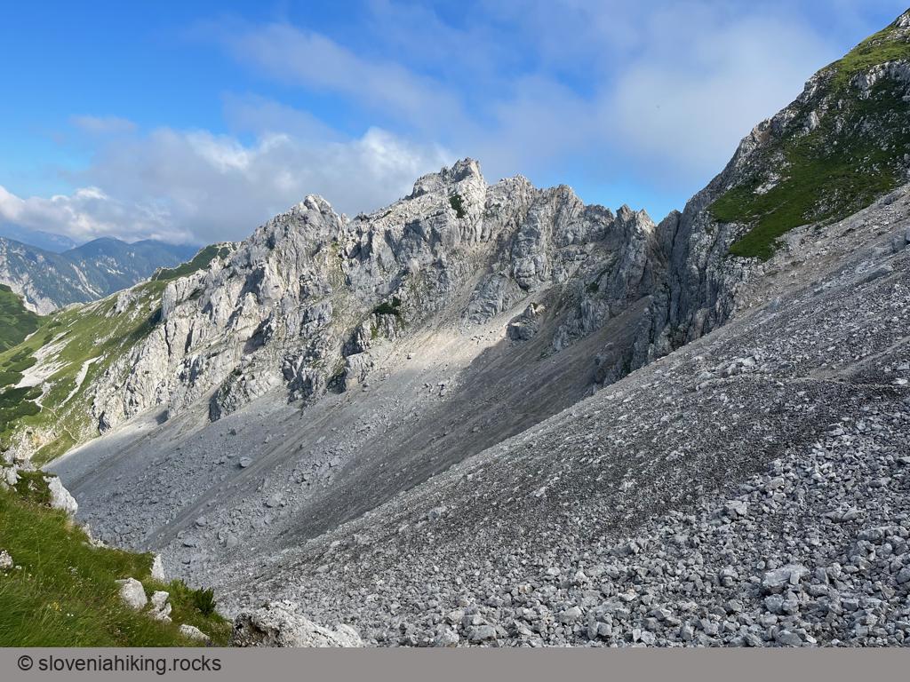
- The easy trail from Zelenica mountain hut gets progressively steeper, rockier, and muddier; some of the steep bits near the top require a bit of attention and forethought.
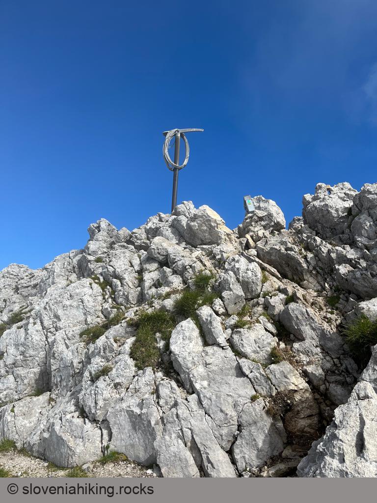
- There are signs for Vrtača on every junction apart from one in the last third of the hike where you take the ascending path (because you want to get to the mountaintop).
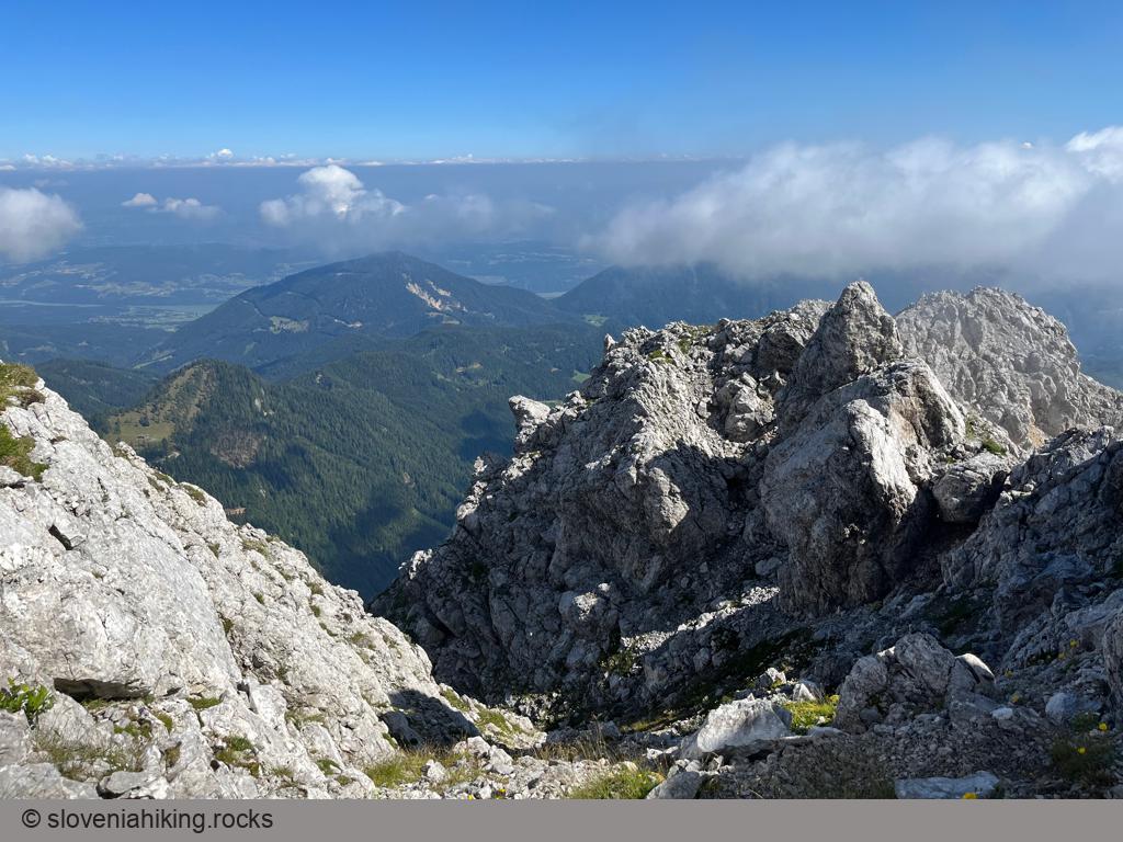
- It will take you slightly longer than 2 hours from Zelenica to Vrtača, but if you’re lucky and get there on a cloudless day, you’ll enjoy fantastic views of the Slovenian and Austrian Alps.
For more details, read the Google-translated Slovenian description.
Map of the Route
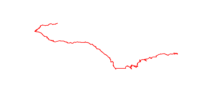
The map shows the path we took as recorded by the GPS receiver. Never trust a GPS track wholeheartedly; rely on your senses and maps.