Hiking in Slovenia » Karawanks » Zelenica
Zelenica is an alpine pasture in a valley between Begunjščica and Vrtača. It takes a bit more than an hour to hike there from the Ljubelj pass, and there’s a mountain hut at the end of the hike – ideal ingredients for a great family trip.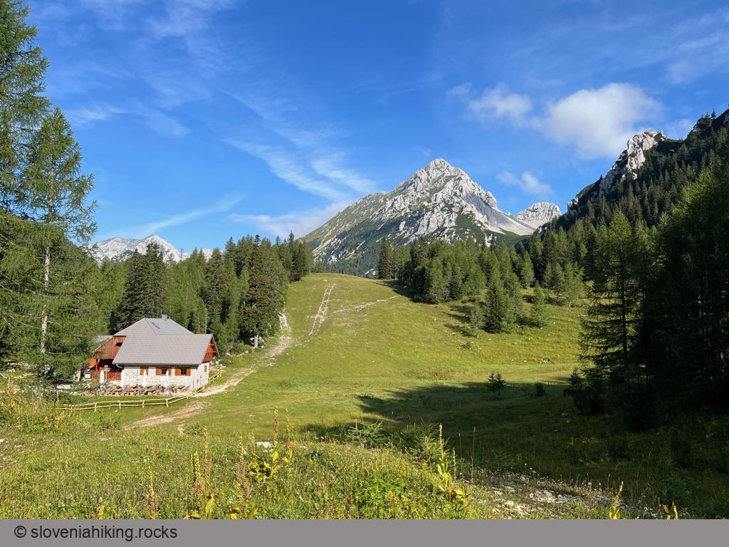
At a Glance
- Difficulty
- Easy somewhat steep hike
- Altitude
- 1536 m
- Average time
-
Ascent: 1 hour 20 minutes
Descent: 1 hour
Total: 2.5 hours
- Elevation gain
- 480 m
- Coordinates
-
Start: 46.431643,14.259925
Peak: 46.428862,14.233567
Getting There
- Park at a large parking lot behind the former Duty-Free shop next to the Ljubelj tunnel.
- You could hike to Zelenica on the waymarked trail along the former ski slope – an ideal option in spring and autumn. From the parking lot, follow the red signs for Zelenica and the hiking waymarks, and you’ll get there.
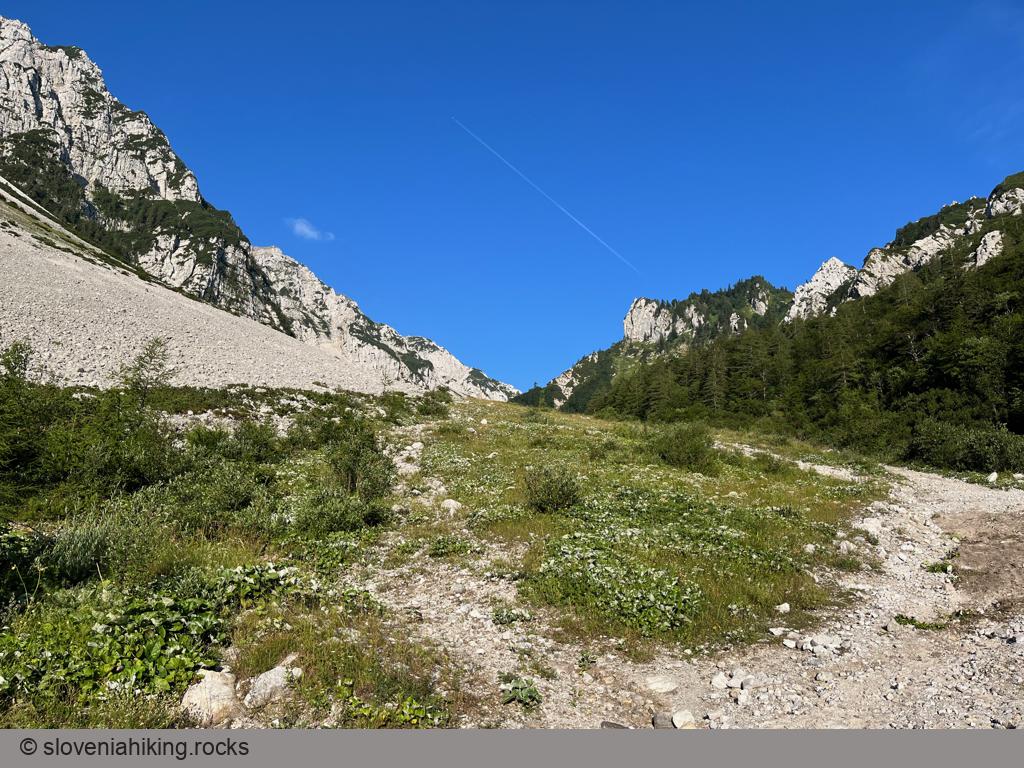
On overheated summer days, you might want to take an unmarked path through the forest. It’s steeper, a bit muddy with a few exposed sections, and you’ll have to traverse a washout or two, but you’ll be in pleasant shade most of the time.
- To get to the unmarked path, follow the hiking signs for Zelenica until you reach the spot where the two gravel roads ascending the slope merge, then find the start of a footpath going slightly right into the forest.
- After a while, the trail returns to the road; you’ll get to the following section in ~100 meters, starting with a sharp right turn into the forest.
- When the footpath reaches the Zelenica meadows, you’ll notice the mountain hut ~20 meters below. Walk there and enjoy a well-deserved break.
Photo Gallery
Map of the Route
The map shows the path we took as recorded by the GPS receiver. Never trust a GPS track wholeheartedly; rely on your senses and maps.