Regions » Karst Plateau
Notes
- Red dots on the map are hiking trips with English description;
- Green dots are biking tours.
- Gray dots are hikes without an English description. You might still want to look at the map, enjoy the photos, or use Google Translate on Slovenian text .
Hikes or biking tours with detailed descriptions
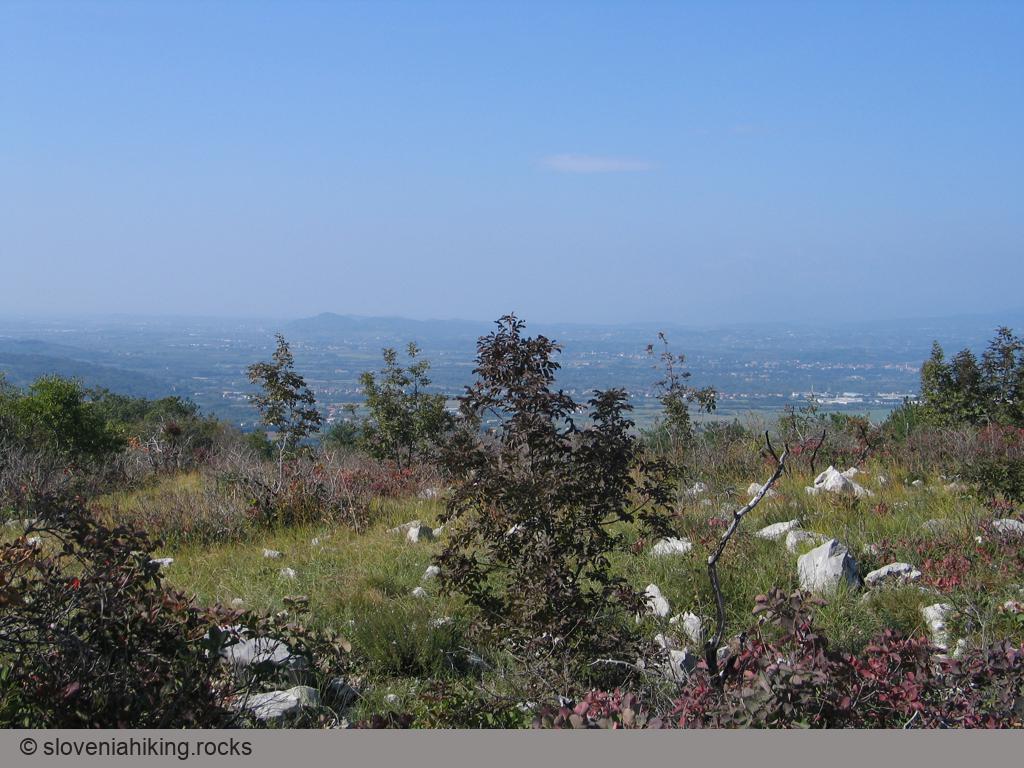
Cerje (343 m, Δ=150 m, 1.5 hour)
Hiking to Cerje, a hilltop with a fantastic view high above Vipava valley, was fun before it was graced with a gigantic Monument of Peace. Gravel roads got a needless coat of asphalt, and the old footpaths turned into wide rocky trails… but if you’re creative and take plenty of detours, you can still have a lovely Karst experience.
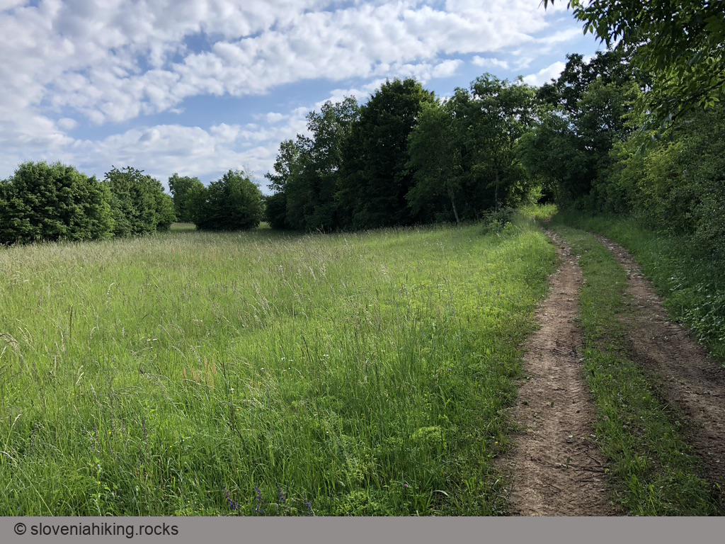
Exploring Karst: From Hruševica to Kosovelje (17.7 km, Δ=160 m)
It’s easy to meander around Slovenian Karst on a bike as it’s crisscrossed with paved roads. Still, it’s more interesting to stay on gravel roads and try to find old overgrown dirt tracks, this time taking us from Hruševica to Kosovelje.
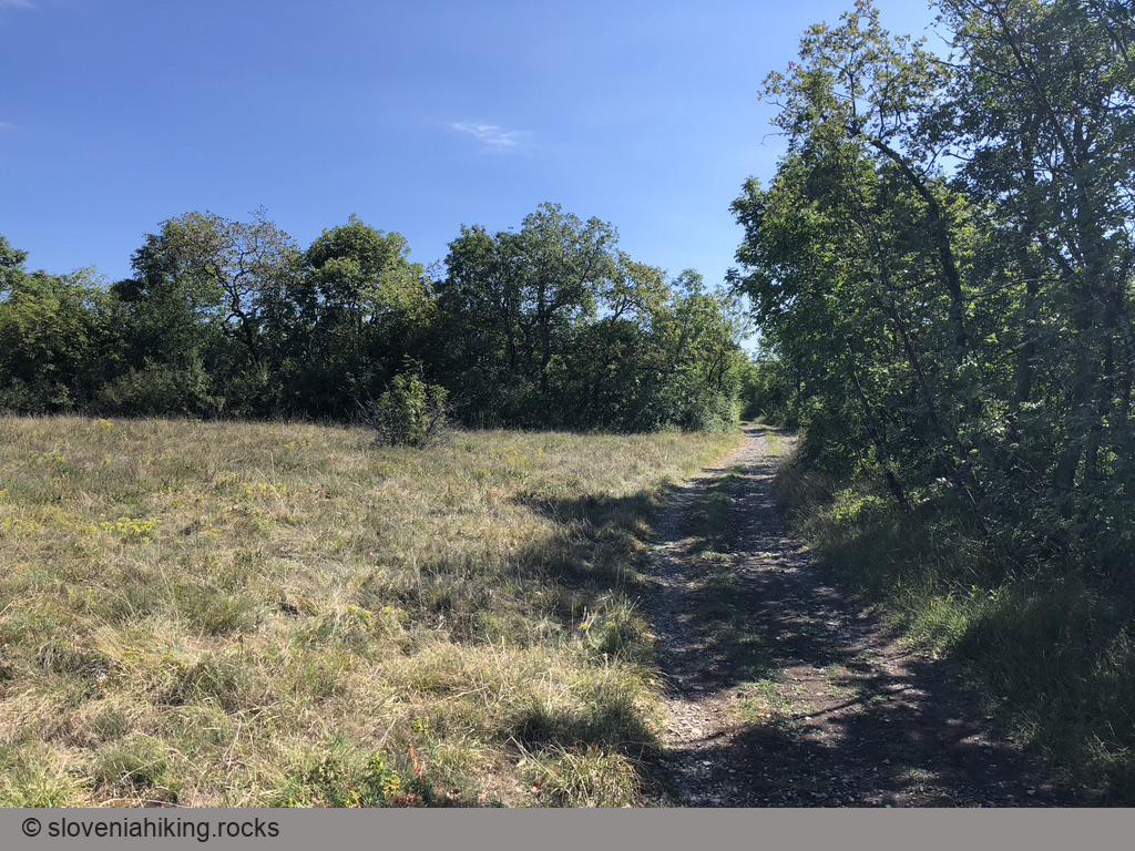
Exploring Karst: Lukovec and Mali Dol (17.5 km, Δ=290 m)
This time we’ll explore the forests and meadows at the northern edge of the Karst plateau, north of Kobjeglava and Komen. We’ll pass Lukovec and try to find our way through the narrow streets of Mali Dol.
Exploring Karst: Pliskovica – Tupelče (18.5 km, Δ=260 m)
We decided to continue our exploration of Karst dirt trails when visiting our friends in Tupelče. We started in Pliskovica, dropped by Volčji Grad and Gabrovica, barely managed to find a long-lost dirt trail from Gabrovica to Kobjeglava, and returned to Pliskovica via Kosovelje.
Karst Villages between Hruševica and Pliskovica (16.3 km, Δ=210 m)
On a rainy day, I found myself in the beautiful St. Daniel Hotel and took a short biking trip on asphalt and gravel roads to avoid the inevitable mud. The end result: I enjoyed the hidden beauties of a half-dozen Karst villages.
Kokoš from Lokev (670 m, Δ=210 m, 2.5 hours)
Kokoš is one of the summits in the hill range separating Sežana Karst (more accurately Lokavsko polje) from the Gulf of Trieste. These hills are crisscrossed with hiking paths and cycling tracks, making them ideal for spring and autumn walks.
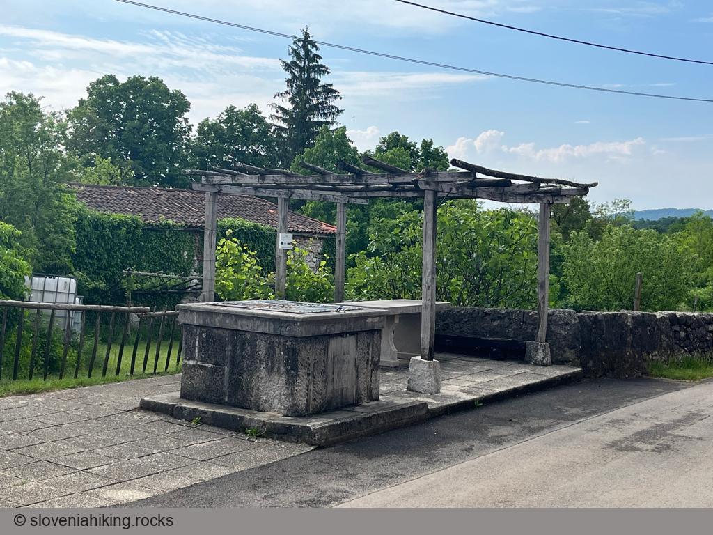
The Path of Nine Ponds (6.5 km, Δ=100 m)
This is not my lame attempt at reaching Zen… the farmers in Slovenian Karst used ponds with clay bottom to collect rainwater, and there’s a nice path linking nine of those ponds as well as several small caves around Kobjeglava and Tupelče.
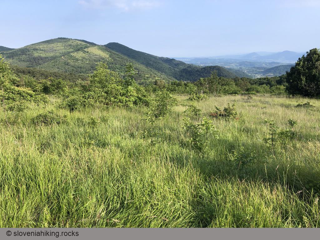
Trstelj from Komen (27.1 km, Δ=590 m)
I noticed a gravel road leading to the Trstelj mountain hut the last time I was there and decided to use it for a bike trip starting in Komen. I tried to avoid the asphalt roads as much as possible, but it’s not hard to find a route that will bring you to Trstelj even if you have a road bike.
Other hikes in this region
- Branik - Pedrovo (380 m, Δ=300 m, 2 hours)
- Črni hribi: from Italian border to Renče peak (463 m, Δ=400 m, 4.5 hours)
- Trstelj from Dornberk (643 m, Δ=540 m, 3 hours)