Biking in Slovenia » Karst Plateau » Exploring Karst: From Hruševica to Kosovelje
It’s easy to meander around Slovenian Karst on a bike as it’s crisscrossed with paved roads. Still, it’s more interesting to stay on gravel roads and try to find old overgrown dirt tracks, this time taking us from Hruševica to Kosovelje.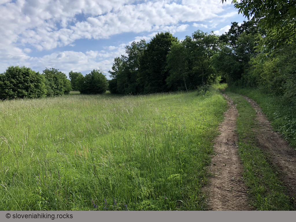
At a Glance
- Difficulty
- From gravel roads to footpaths, with an occasional stretch of asphalt or two.
- Altitude
- 300 m
- Average time
- 2 h
- Elevation gain
- 160 m
- Distance
- 17.7 km
- Coordinates
-
Start: 45.810886,13.828548
In a Nutshell
- I started at Hotel St Daniel in Hruševica1. You could begin in Štanjel or park near the cemetery at the edge of Hruševica.
- From the village center, follow the widest gravel road going south. The gravel road will bring you to an asphalt road close to Kopriva.
- Turn right, and after approximately 100 meters, turn right onto a narrow road leading into the village.
- As you bike through Kopriva, keep right until you find a gravel road that crosses the railway.
- Stay on the broadest track as the gravel road eventually turns into a dirt road and finally into a dirt track.
- Eventually, you’ll come to a junction where the dirt track veers right, and a narrow single-track goes toward the left. Take the single-track that will bring you to a gravel road. Turn left.
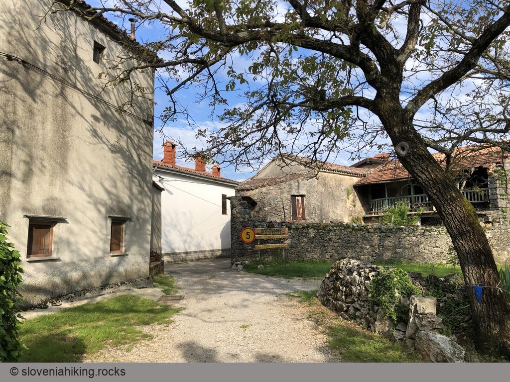
- At the next crossing, follow signs for Kosovelje.
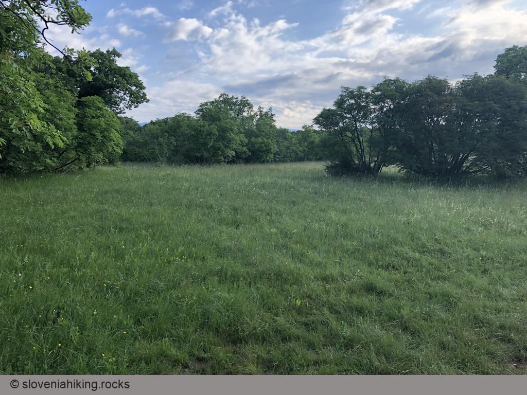
- In Kosovelje, keep to the right to get to Pliskina pot – a well-maintained footpath that will bring you to the asphalt road from Pliskovica to Gabrovica.
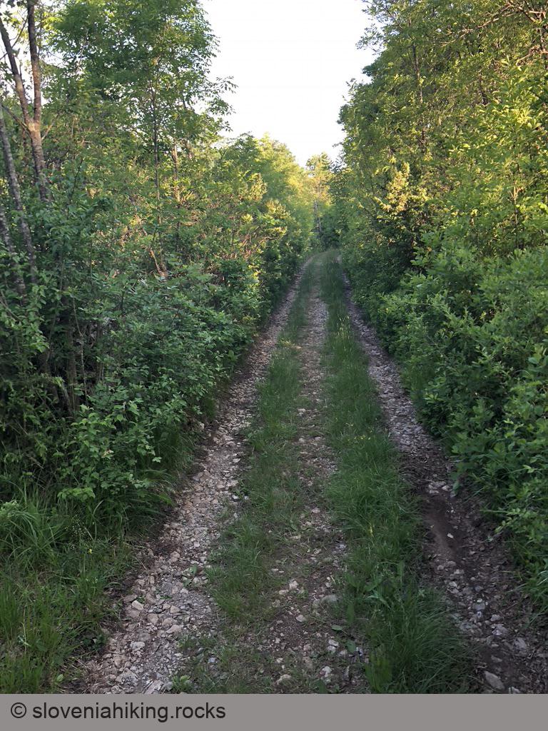
- According to the map, there’s a dirt track running parallel to the asphalt road. I found something, but it was so overgrown I gave up and took the asphalt road till Gabrovica.
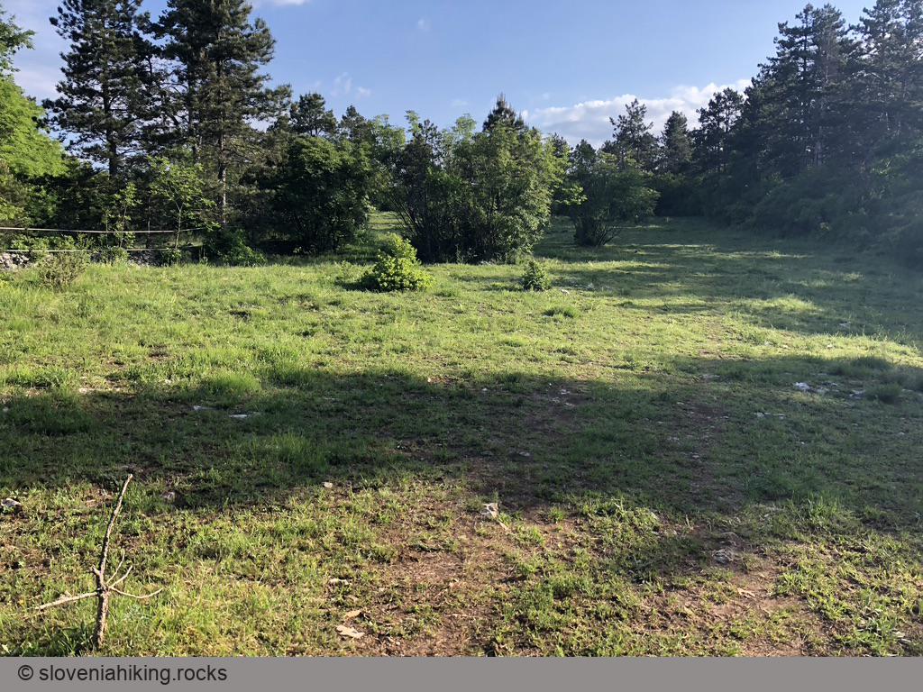
- At the edge of Gabrovica, take a dirt track going right. It will bring you to a gravel road leading back toward Štanjel/Hruševica.
If you started in Štanjel, follow biking signs for Štanjel until you get there. If you began in Hruševica, you could use the same strategy to get to Kobjeglava or Tupelče, or you could try to find a shortcut2:
- After a gravel road crossing where the sign for Štanjel sends you left, find a narrower dirt track going right.
- Follow that dirt track until it starts getting wider and turning north.
- Find another dirt track forking right (hint: OpenCycleMap helps). This one will bring you straight to Hruševica.
Map of the Route
The map shows the path we took as recorded by the GPS receiver. Never trust a GPS track wholeheartedly; rely on your senses and maps.