Biking in Slovenia » Karst Plateau » Exploring Karst: Lukovec and Mali Dol
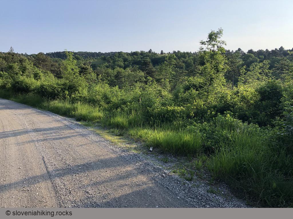
This time we’ll explore the forests and meadows at the northern edge of the Karst plateau, north of Kobjeglava and Komen. We’ll pass Lukovec and try to find our way through the narrow streets of Mali Dol.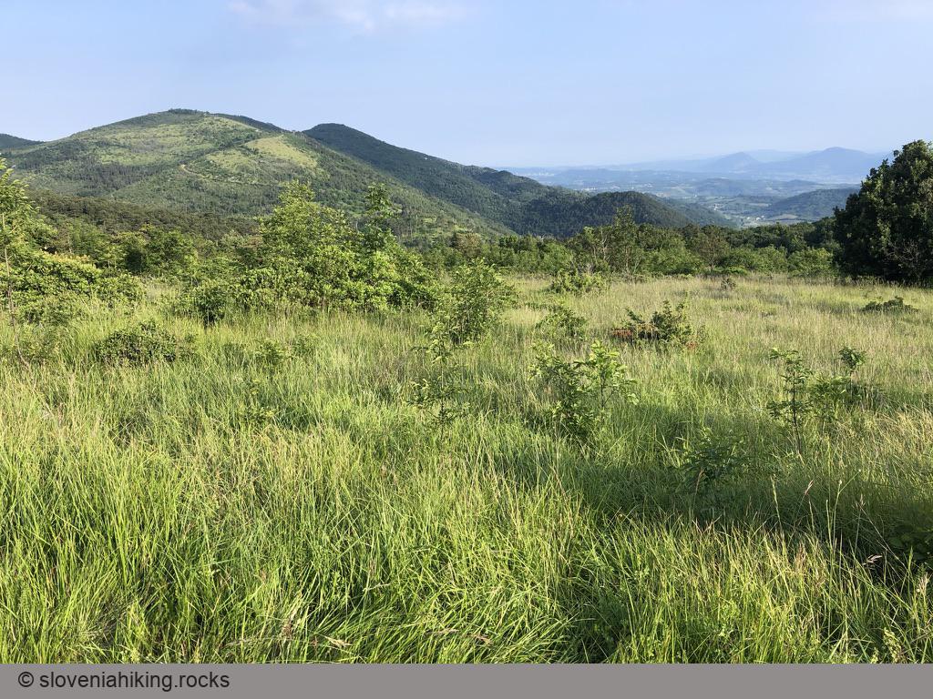
At a Glance
- Difficulty
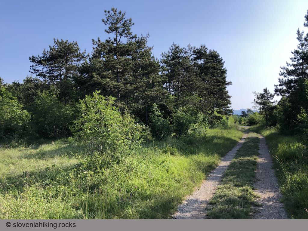
- A leisurely ride on a mix of gravel roads, dirt roads, and single-tracks. Expect a few steeper sections.
- Altitude
- 393 m
- Average time
- 2 h
- Elevation gain
- 290 m
- Distance
- 17.5 km
- Coordinates
-
Start: 45.818412,13.825455
Notes
- I started at Hotel St. Daniel1. You could start in Kobjeglava or park at the hunting lodge in Tupelče (the starting coordinates).
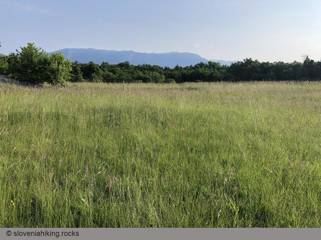
- Somewhere in a large meadow just past Lukovec, find a narrow trail going left (you might notice the blue biking marks; I was going too fast for that). If you keep going straight, you’ll hit a nasty roadblock2 and will have to turn around3. I removed the erroneous segment from the GPX file.
- Once you reach the asphalt road toward Komen, ignore the dirt roads going left until you reach a WW2 monument.
- A few kilometers after Mali Dol, the dirt road turns left, and there’s a small sign for Spacalova pot on the right, sending you straight onto a narrow footpath. Don’t miss it - the dirt road ends at a pasture.
-
Highly recommended if you’re looking for a quiet and friendly place to stay. ↩︎
-
Experiencing first-hand what happens when someone buys a small plot of land in the middle of nowhere without realizing the implications of a gravel road crossing it. A few years ago, they allowed the bikers to pass; the current total roadblock is probably a consequence of obnoxious individuals pestering the annoyed landowner with legal arguments (I could read them between the lines of a lengthy No Trespassing notice). ↩︎
-
One would hope that the local tourist organization posting excellent signs on all major junctions would add a sign saying don’t go that way, the road is closed. Alas… ↩︎
Map of the Route
The map shows the path we took as recorded by the GPS receiver. Never trust a GPS track wholeheartedly; rely on your senses and maps.