Biking in Slovenia » Notranjska » Križna Gora above Lož
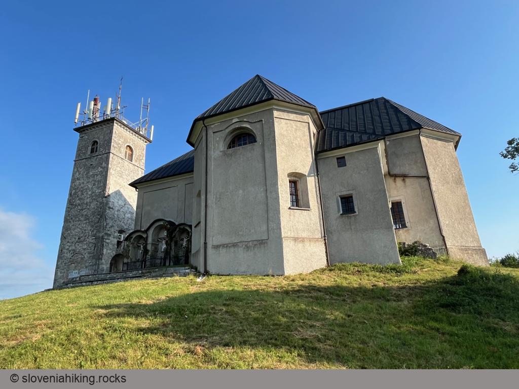
Križna Gora is a peak on a ridge between Lake Cerknica and Lož Valley. From here, one can enjoy a nice view of the nearby Karst plateaus and the surrounding hills. The peak has been a fortified settlement since ancient times, made even better with the addition of the Church of the Saint Cross in the 16th century.At a Glance
- Difficulty
- Steep ascent on asphalt road and rocky trail
- Altitude
- 857 m
- Average time
- 1.5 h
- Elevation gain
- 281 m
- Distance
- 9.2 km
- Coordinates
-
Start: 45.720602,14.468182
Peak: 45.741602,14.458314
Notes
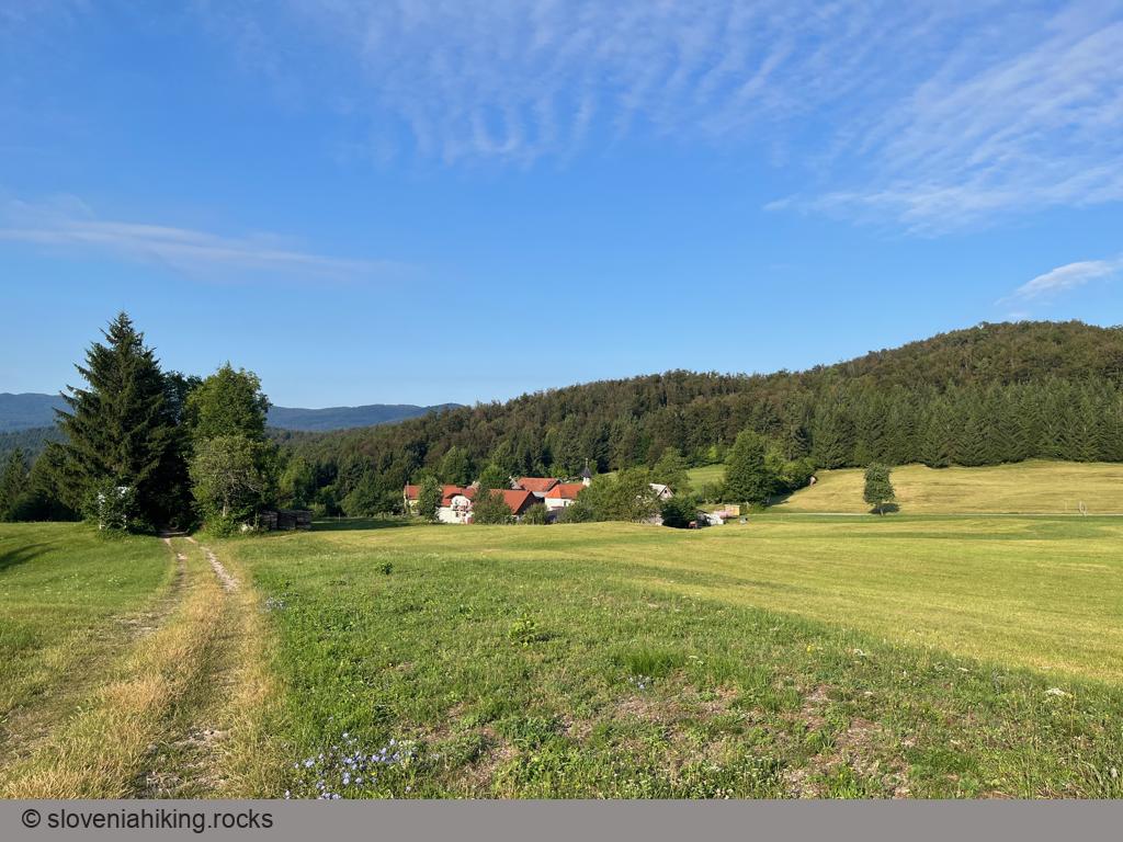
You can hike to Križna Gora from Sveta Ana (the hamlet below it, 20 minutes), from Križna Cave (20 minutes), or Lož (1 hour). You can also try to master the trail leading to the top with a bike (I almost made it).
- Park in an extensive parking place at the edge of Lož. If you plan to hike to Križna Gora, drive to where the road to Sveta Ana forks from the road toward Podlož (there are ample parking opportunities there, but not near Sveta Ana)
- Follow the signs for Sveta Ana / Križna Gora.
- At the top of the asphalt ascent, take the gravel road toward Križna Gora.
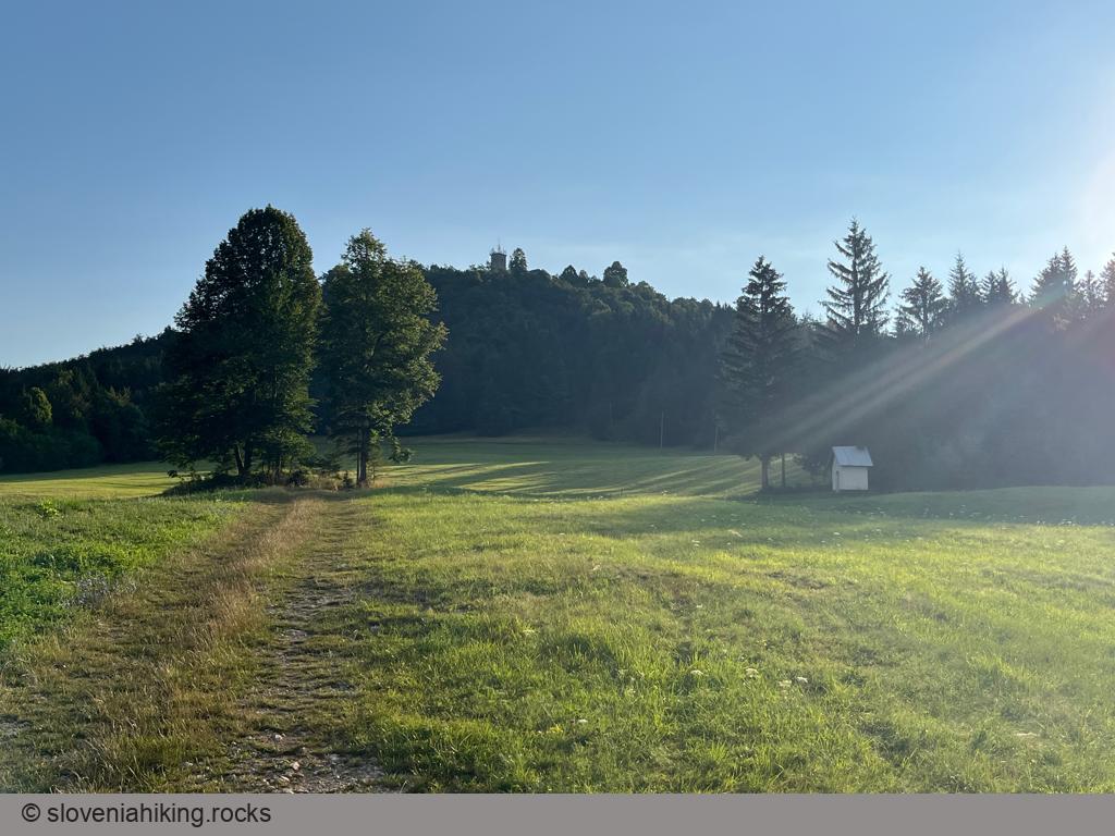
- The gravel road quickly turns into a rocky trail. If you’re hiking, follow the path passing the Stations of the Cross; if you’re biking, “enjoy” the huffing and puffing.
Map of the Route
The map shows the path we took as recorded by the GPS receiver. Never trust a GPS track wholeheartedly; rely on your senses and maps.


