Biking in Slovenia » Notranjska » Velike Bloke from Cerknica
Instead of hiking or biking to Slivnica, let’s do a roundtrip around it, exploring the hidden green valleys of Menišija and Karst plateaus of Bloška Planota.
At a Glance
- Difficulty
- A mix of asphalt and gravel roads
- Altitude
- 794 m
- Average time
- 3 h
- Elevation gain
- 540 m
- Distance
- 29.2 km
- Coordinates
-
Start: 45.792868,14.367291
Peak: 45.788388,14.474278
Notes
- We’ll start in Cerknica. It looks like it got easier to find a parking spot there; I still prefer the starting point for the Slivnica hike.
- Next, we have to get to Begunje. You could use the Cerknica-Rakitna main road; I decided to start biking toward Slivnica, then followed the sign for Brezje, and reached the main road in Begunje.
- From Begunje, follow the main road to Rakitna, then turn right toward Topol. When reaching a fork after a hairpin, take the right road toward Otonica/Podslivnica and follow it until you reach Hribarjevo (a village at the edge of Bloška Planota).
- After Hribarjevo, turn right (direction Velike Bloke/Nova Vas).
- In Velike Bloke, turn right (sign for Radlek) or take the next right (no traffic sign) to get to Radlek through Studeno. Before that, you might want to visit Napoleon’s Bridge (it’s just a few meters down the main road).
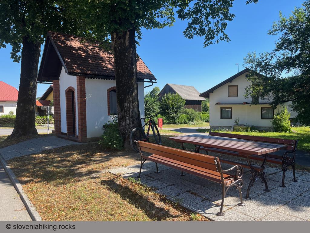
- Take a break in Radlek, then continue toward Grahovo and stay on the main gravel road.
- Just before Grahovo, turn right (sign for Velika Krpanova Pot) onto a narrower gravel road and follow it until you reach Cerknica.
Map of the Route
The map shows the path we took as recorded by the GPS receiver. Never trust a GPS track wholeheartedly; rely on your senses and maps.
