Biking in Slovenia » Karst Plateau » Exploring Karst: Pliskovica – Tupelče
We decided to continue our exploration of Karst dirt trails when visiting our friends in Tupelče. We started in Pliskovica, dropped by Volčji Grad and Gabrovica, barely managed to find a long-lost dirt trail from Gabrovica to Kobjeglava, and returned to Pliskovica via Kosovelje.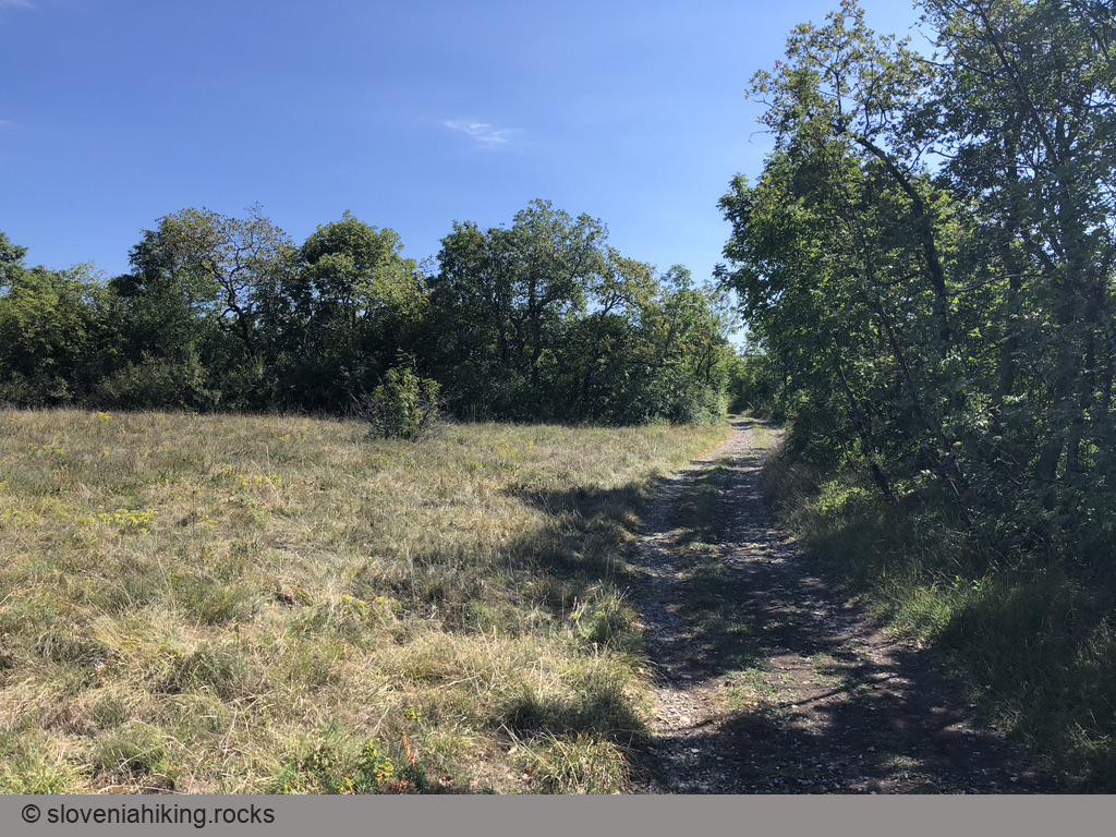
At a Glance
- Difficulty
- A mix of dirt trails and footpaths with an occasional asphalt road. Take a mountain bike.
- Altitude
- 310 m
- Average time
- 2.5 h
- Elevation gain
- 260 m
- Distance
- 18.5 km
- Coordinates
-
Start: 45.770639,13.782370
From Pliskovica to Gabrovica
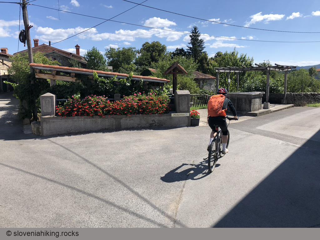
- Park in a tiny parking lot at the southern edge of Pliskovica
- Take the left road into the village. Go straight at the first junction, then keep left.
- After the last house, take a dirt road going right.
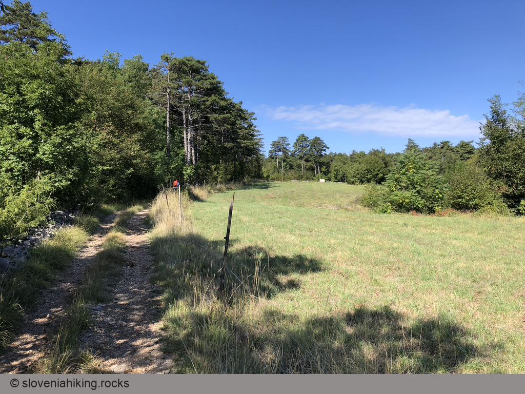
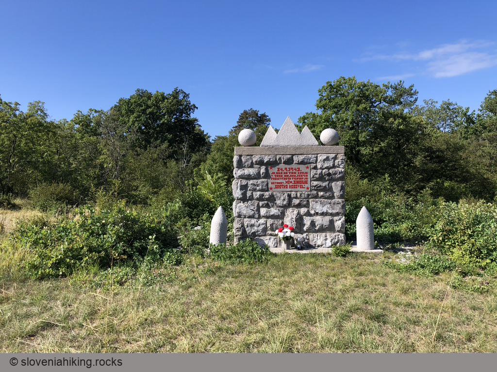
- Follow the widest dirt road until you get to a T-junction in the forest (if you get to a meadow with a monument, you got too far). Turn right.
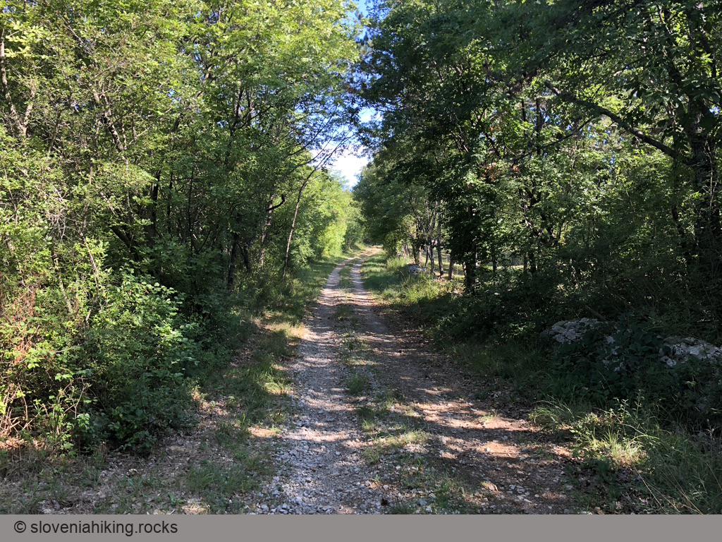
- When you reach a gravel road, turn left. At the next junction, turn right (north).
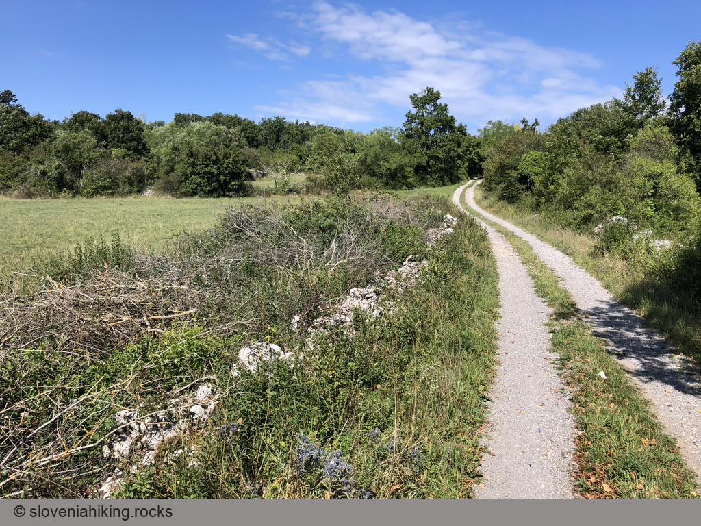
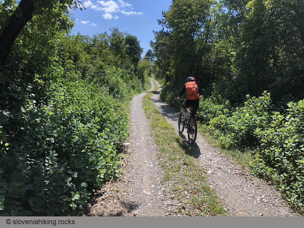
- In Volčji Grad, keep to the right until you reach the gravel road going east (toward Gabrovica).
- After a nasty steep section, you’ll reach an asphalt road. Cross it and continue toward Gabrovica.
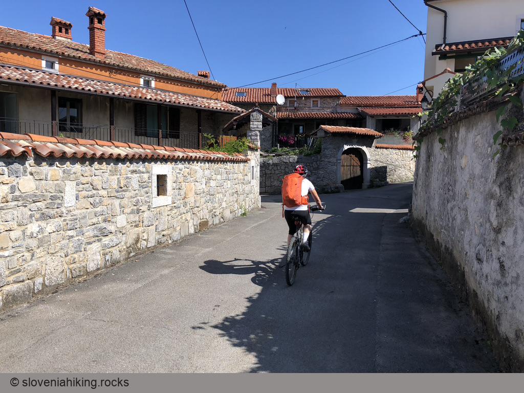
- In Gabrovica, stay on the main road until you reach the church.
- Keep to the right, cross the main road through Gabrovica, and continue onto a narrow asphalt road toward Kobjeglava.
Gabrovica to Kobjeglava (or Pliskovica)
Now you have to choose between two sane and one utterly insane option. Sane options first:
- Turn right onto a gravel road and follow signs toward Kosovelje (you’ll miss Kobjeglava and Tupelče).
- Use the asphalt road to get to Kobjeglava.
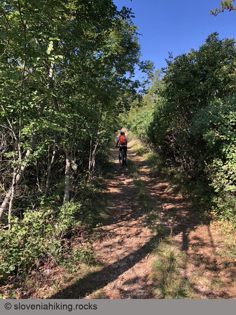
The insane option: OpenCycleMap claims a dirt trail runs parallel to the Komen–Kobjeglava main road. More precisely: long long time ago, there was a dirt trail…
- The start of the dirt trail is pretty obvious, but then it turns sharp right at a vineyard. Don’t take the right turn; continue onto an overgrown path going straight.
- It only gets worse. We got lost a few times. I used GPS navigation to keep us relatively straight, and veering left seemed a pretty successful strategy.
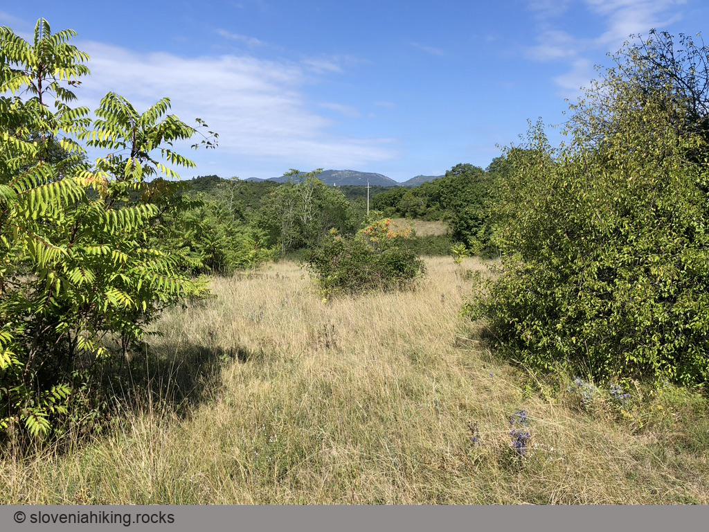
- Eventually, we ran out of luck. The trail was so overgrown that it was impossible to continue. We started carrying bikes through the adjacent (probably deserted) grassland, where we found a barely visible footpath running parallel to our trail.
- At the end of that field, we crossed onto another well-maintained meadow – a good sign, as the farmers need to get there – and found a gravel road leading into it. The gravel road brought us to Kobjeglava.
- In Kobjeglava, turn right onto the main road through the village to get to Tupelče.
From Tupelče to Pliskovica
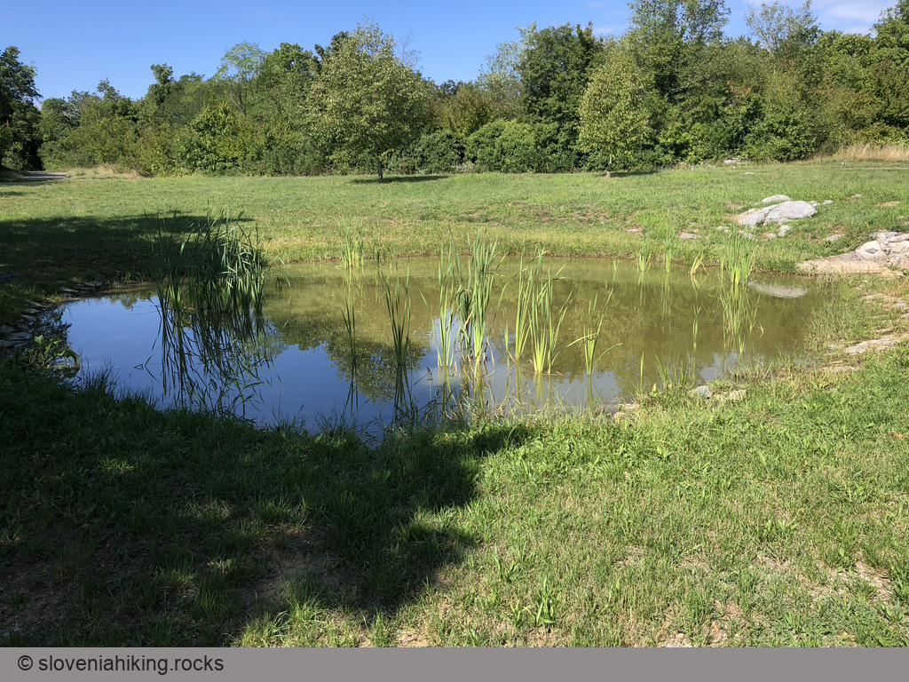
- Take the narrow asphalt road going right from the pond in the center of the village (see also: The Path of Nine Ponds).
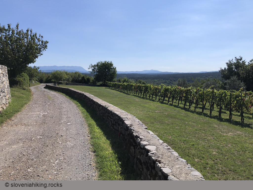
- Keep going straight, and you’ll eventually reach Kosovelje.
- In Kosovelje, follow the signs with a little lamb (Pliska Trail) onto an asphalt road leading straight back to Pliskovica.
Another insane option: Keep following the little lamb. It will lead you onto a narrow rocky footpath that will also bring you to the church in Pliskovica. Remember that you’re not the target audience for Pliska Trail – be polite, don’t scare the hikers, and don’t take the trail on sunny weekends.
Map of the Route
The map shows the path we took as recorded by the GPS receiver. Never trust a GPS track wholeheartedly; rely on your senses and maps.