Biking in Slovenia » Karst Plateau » The Path of Nine Ponds
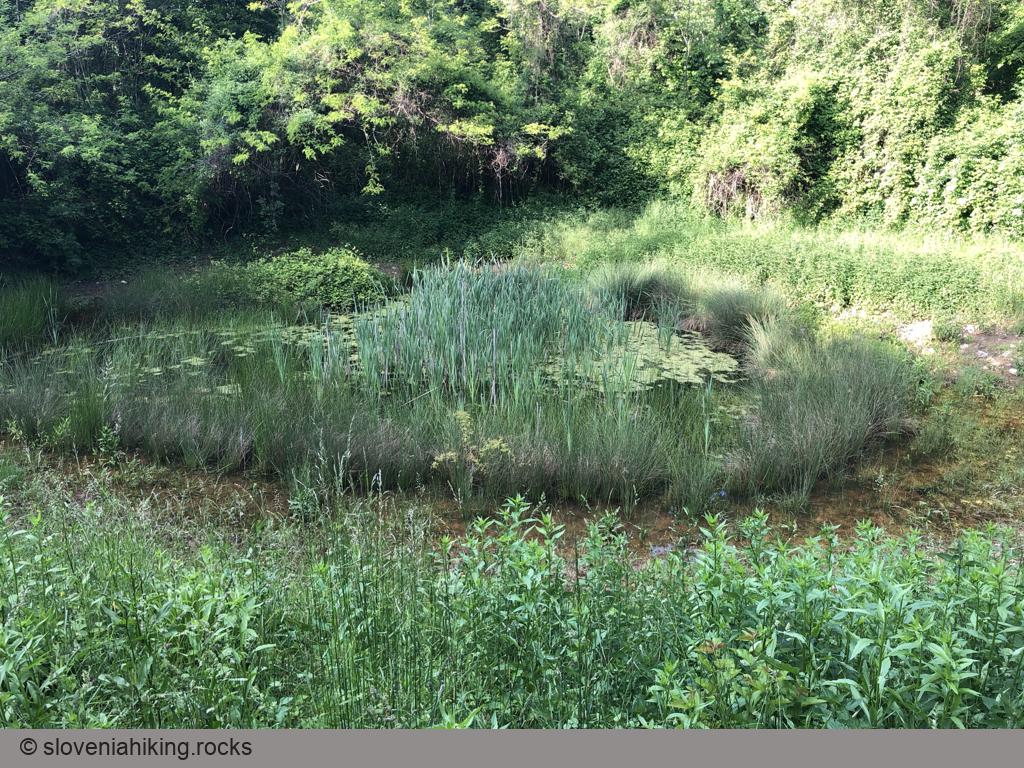
This is not my lame attempt at reaching Zen… the farmers in Slovenian Karst used ponds with clay bottom to collect rainwater, and there’s a nice path linking nine of those ponds as well as several small caves around Kobjeglava and Tupelče.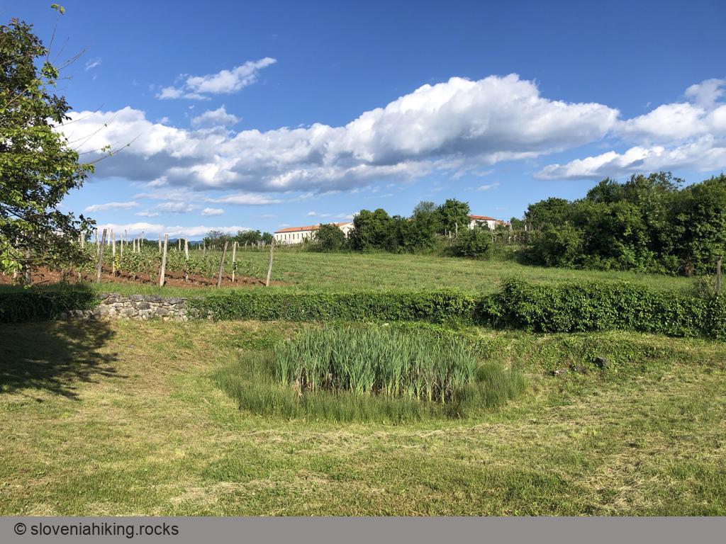
At a Glance
- Difficulty
- Gravel roads with a few short steeper sections. Suitable for a family hike/biking tour.
- Altitude
- 340 m
- Average time
- 1 h
- Elevation gain
- 100 m
- Distance
- 6.5 km
- Coordinates
-
Start: 45.814512,13.810002
Notes
- The path was designed for hikers, but as it’s following gravel- and dirt roads it’s easy to do it with a mountain bike.
- Start in Kobjeglava, park at a large parking lot near the center of the village (note: I started in Tupelče, so the GPX file and video are a bit off).
- You’ll find the first sign for “Pot devetih kalov” left of the well in the village center;
- Some of the signs along the path seem to be missing. Use a bit of intuition, the GPX file, and OpenCycleMap, and turn the lack of signs into a scouting exercise.
For a few more details, explore the Trail of Nine Ponds page.
Map of the Route
The map shows the path we took as recorded by the GPS receiver. Never trust a GPS track wholeheartedly; rely on your senses and maps.