Biking in Slovenia » Pokojišče from Borovnica
Pokojišče is a hamlet high above Ljubljana Marsh with lovely views of the surrounding dense forests. You can hike there from Borovniški Pekel, or reach it on a bike using the asphalt road from Borovnica.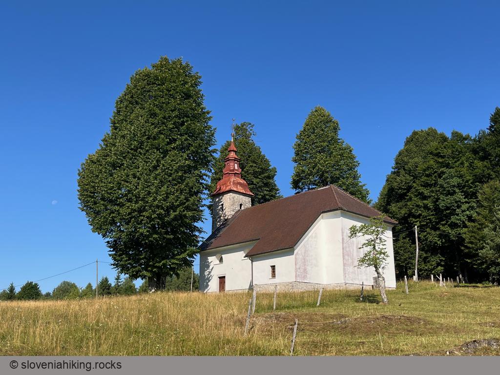
At a Glance
- Difficulty
- Steep ascent on an asphalt road followed by a leisurely descent on gravel roads
- Altitude
- 734 m
- Average time
- 2 h
- Elevation gain
- 480 m
- Distance
- 20 km
- Coordinates
-
Start: 45.920783,14.367446
Peak: 45.893424,14.355079
From Borovnica to Pokojišče
- Park near the railway station in Borovnica. There’s another (smaller) parking lot near the public library.
- Follow the signs for Pekel.
- Take the right road (Zalarjeva cesta) at a roadside chapel
- Follow the signs for Pokojišče
- Huff and puff for four kilometers
- Take a breather at St. Stephan’s church and enjoy the views
Getting Back
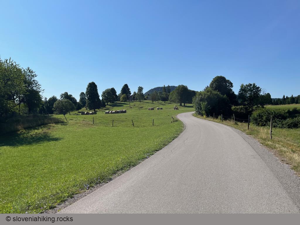
If you’re on a racing bike with paper-thin tires, you won’t make it past Padež (the next hamlet) where the asphalt road turns to gravel.
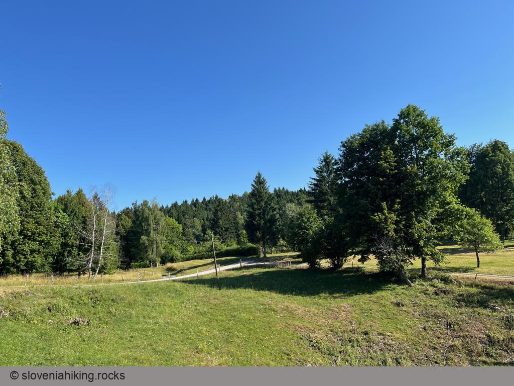
Everyone else can enjoy a lovely descent through dense woods; just make sure you have the digital maps with you before going into the woods (mobile Internet might be spotty). Unfortunately, my watch stopped recording the location, so the descent is not included in the GPX track.
- In Padež, follow the signs for Cerknica
- Take the left fork at the first gravel junction
- Keep to the left while staying on the gravel road (do not follow the hiking signs for Borovniški Pekel onto a dirt trail)
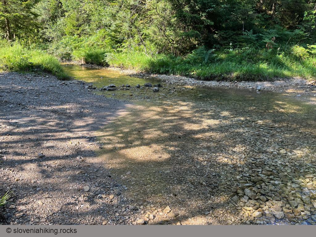
- Ford the stream (have fun at high water), then take a left turn, immediately followed by a right turn.
- You (almost) made it. Use the gravel road to get to Brezovica, then stay on the main road until you get to Borovnica.
Map of the Route
The map shows the path we took as recorded by the GPS receiver. Never trust a GPS track wholeheartedly; rely on your senses and maps.