Hiking in Slovenia » Notranjska » Planinska Gora
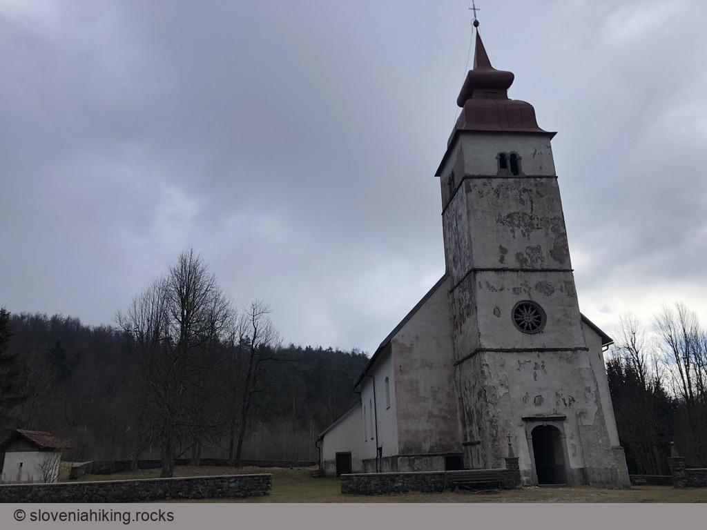
Planinska Gora (Planina’s Mountain) is the easternmost part of the ridge extending from Planina (near Postojna) to Bukovje and Predjama. It’s a popular local destination with trails and footpaths going toward the top from all over Planina. Three of these trails are marked, the easternmost starting at the edge of the village near Saint Margaret’s church, where you’ll also find a small parking lot. The hike will take you along wide trails with only an occasional steep section or two, making it ideal for a family excursion with restless kids.
Facts First
- Difficulty
- Easy hike on wide trails with a few steeper sections
- Altitude
- 880 m
- Average time
-
Ascent
Descent
Total
- Elevation gain
- 410 m
- Coordinates
-
Start: 45.836412,14.255054
Peak: 45.837401,14.233887
Short Description
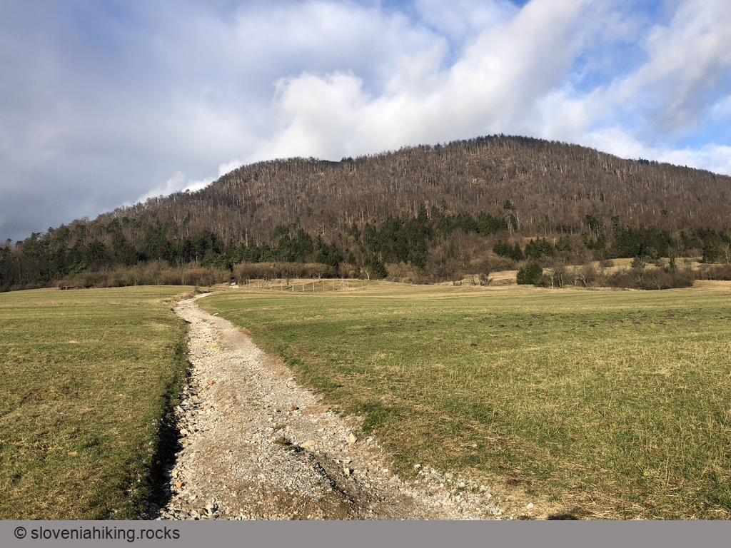
After parking at Saint Margaret’s church, cross the main road and follow a wooden sign toward Planinska Gora. A wide washed-out trail goes straight among grassy slopes, enters a pine forest, and merges with a gravel road. Turn left (and be careful on the way back – the wooden sign pointing down the trail is easy to miss).
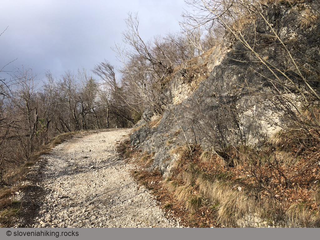
The next sign will send you uphill on a steep sandy trail. Keep left on subsequent forks following the standard hiking waymarks and yellow arrows until you reach the junction with the path ascending from Lepena. If you’re hiking with small kids, stop there and give them time to enjoy a little natural stone bridge.

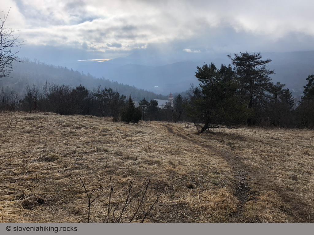
In just a few minutes, you’ll reach the Virgin Mary church high up on Planinska Gora. You could stop there, continue to the mountain hut on the very top of the ridge, or follow the gravel road toward Grmada. I decided to go straight up, took the second dirt track going left (just after the road starts to curve), and reached the ridge in approximately 10 minutes.
Use the same path to return to Planina. If you feel like an explorer, take the way toward Lepena, turn left on the asphalt road, and try to find the gravel road that will bring you back to the junction above the starting point.