Biking in Slovenia » Notranjska » Planinska Gora (on a Bike)
While hiking towards Saint Mary’s church on Planinska Gora, I thought to myself: “this should be doable on a bike.”
A few months later, I decided to test that hypothesis (TL&DR: barely) and found an unexpected dirt trail.
At a Glance
- Difficulty
- A mix of steep asphalt and gravel roads, with an optional singletrack descent
- Altitude
- 900 m
- Average time
- 2 h
- Elevation gain
- 450 m
- Distance
- 12.1 km
- Coordinates
-
Start: 45.823082,14.244940
Getting to Planinska Gora
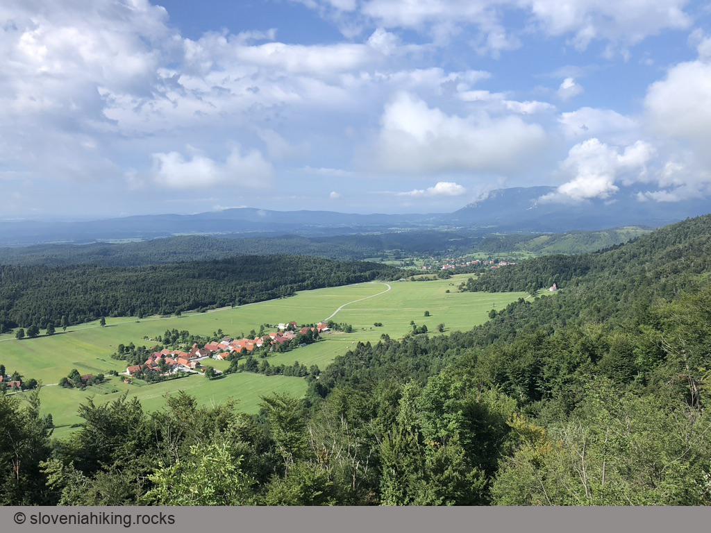
- Following the main road Logatec–Postojna, you’ll find a few parking spots near the edge of Planina. Park there and follow the signs for Predjama Castle. There are also a few less convenient parking opportunities along the path.
- Follow the road toward Predjama Castle till Lohača. Turn right onto a narrower asphalt road.
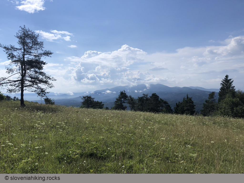
- The road quickly turns into a gravel road and brings you to a saddle with a nice view of Nanos.
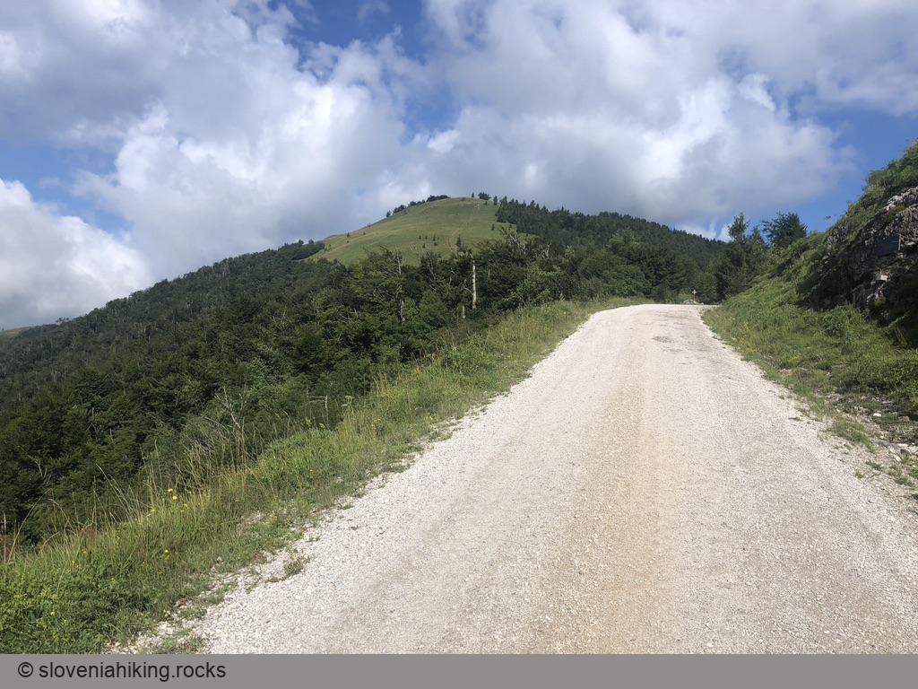
- Turn right onto another gravel road following the signs for Grmada and Lovska Koča (Hunting Lodge). Alternatively, if you feel strong enough, follow the tire tracks toward Petričev Hrib. Opencyclemap claims there’s a footpath you could follow along the ridge (untested).
- As the gravel road starts descending, follow the signs for Lovska Koča to get onto a clearing/vista point.
What Next?
- You could declare victory and return to Planina.
- You could get back to the gravel road, descend to Saint Mary’s church, and visit Grmada (another vista point) on the way.
- There’s also an overgrown dirt trail starting at the edge of the clearing (check Opencyclemap for details). It will bring you to another clearing where you have to turn sharp left (back into the forest) to reach the church.
Getting Back to Planina
- If you don’t feel like having another downhill experience, use the gravel road to get back.
- Still here? Follow the waymarks and signs for Planina onto a dirt track. Keep to the left until you reach a steep logging road.
- The logging road looked great when I was hiking, but the interim torrential rains turned it into a micro-gorge full of loose gravel. Biking on it was neither elegant nor enjoyable.
- As you get to a T-junction of gravel roads, turn right (waymarks point left).
- The gravel road joins a narrow asphalt road next to an abandoned quarry. Turn right, and you’ll soon find yourself on familiar grounds.
Map of the Route
The map shows the path we took as recorded by the GPS receiver. Never trust a GPS track wholeheartedly; rely on your senses and maps.