Biking in Slovenia » Notranjska » From Predjama to Stara Pošta on Hrušica
Starting from a medieval castle built into a giant cave, bike through Hrušica’s dense forests to reach the ruins of a Roman fort and an old post waystation.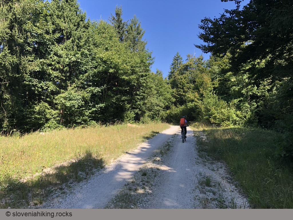
At a Glance
- Difficulty
- Gravel roads with a few kilometers of asphalt
- Altitude
- 874 m
- Average time
- 2.5 h
- Elevation gain
- 420 m
- Distance
- 22 km
- Coordinates
-
Start: 45.814483,14.128900
From Predjama to Hrušica
- Park at Predjama castle. Be there early; the parking lot tends to get very busy in the summer.
- Return to Bukovje and follow signs for Hrušica/Podkraj (this bit is missing from the GPX file).
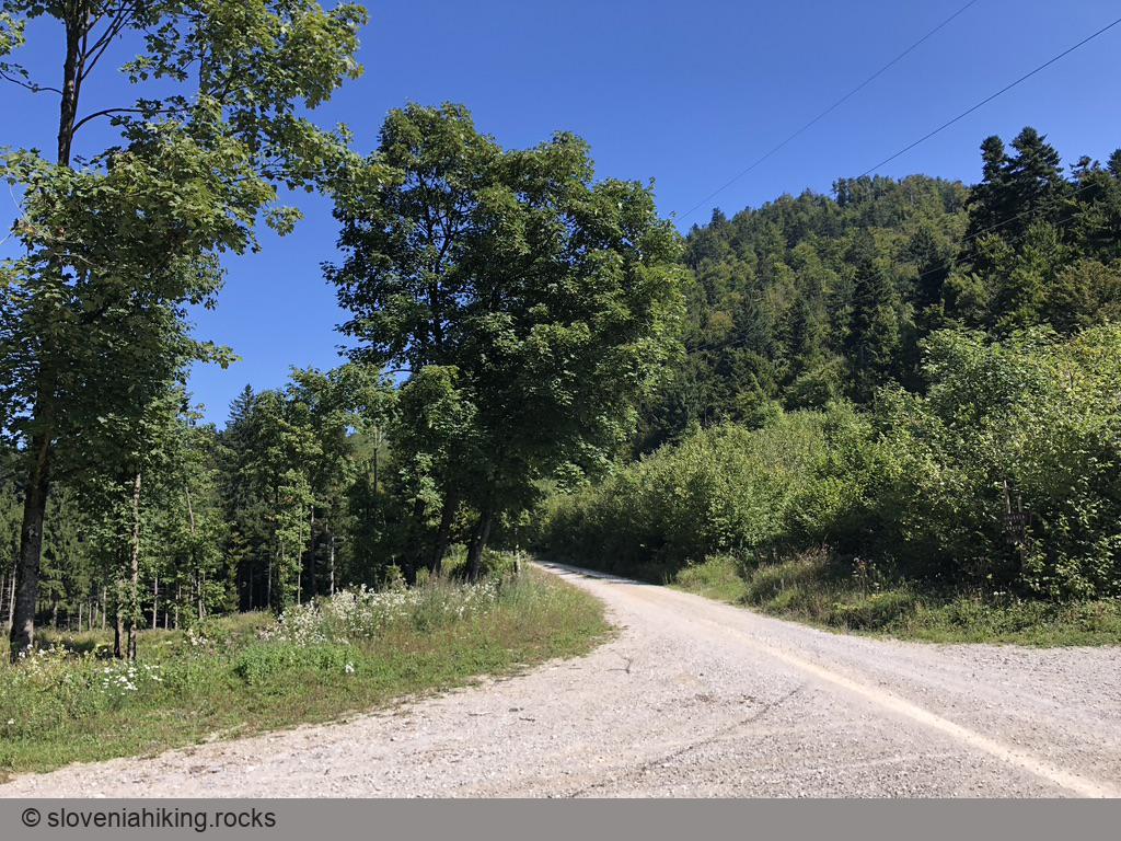
- After a few kilometers, leave the asphalt road and follow hiking signs for Hrušica and waymarks onto a gravel road.
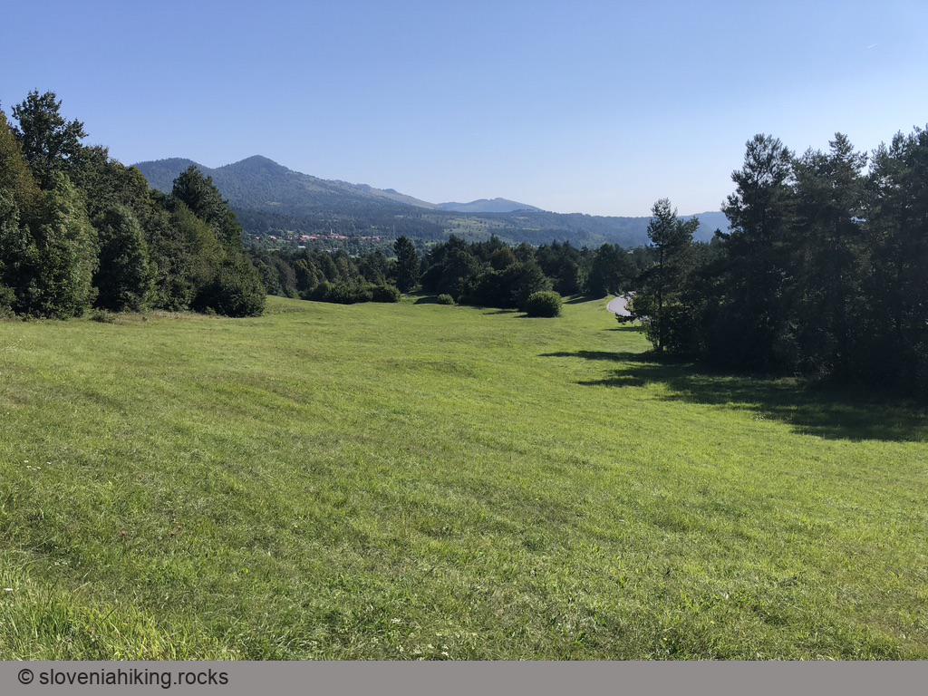
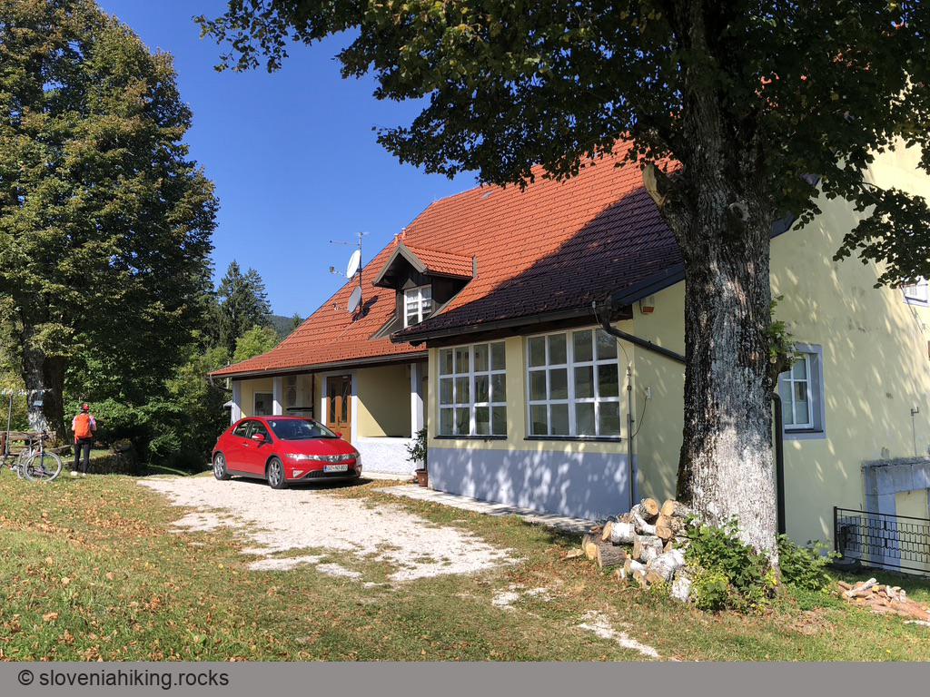
- Follow the waymarks and an occasional road sign for Hrušica until you reach Stara Pošta inn.
- Hike the Archeological Trail if you want to explore the Roman ruins.
- Have lunch at Stara Pošta inn.
Back to Predjama
- On the way back, take the first gravel road going left.
- Follow the gravel road (keeping to the right) until you get to a Y-junction. Take the left fork (the right one is a dead-end).
- Turn right when you reach a large junction of gravel roads in the middle of a clearing.
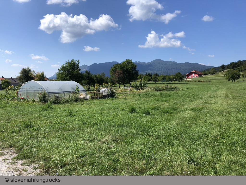
- In Gorenje (a hamlet next to Bukovje), turn right onto a narrow asphalt road.
- Follow the first gravel road descending toward Bukovje.
- Keep to the gravel road; when in doubt, take the left fork.
- In a few minutes, you’ll reach the Bukovje–Podkraj asphalt road. Turn left, and you’ll get back to Predjama in no time (it’s all downhill from there).
- Don’t forget to visit the Predjama castle ;)
Map of the Route
The map shows the path we took as recorded by the GPS receiver. Never trust a GPS track wholeheartedly; rely on your senses and maps.