Hiking in Slovenia » Julian Alps » Mostnica Gorge (Korita Mostnice)
The hike along Mostnica Gorge (Korita Mostnice) is a wonderful, easy family hike along a stunning natural wonder.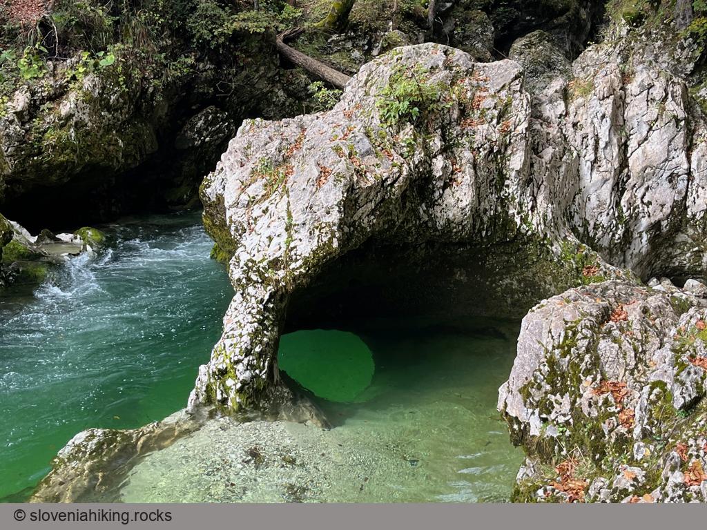
At a Glance
- Difficulty
- Easy hike on wide footpaths
- Altitude
- 690 m
- Average time
-
Ascent: 45 minutes
Descent: 35 minutes
Total: 1 hour 30 minutes
- Elevation gain
- 140 m
- Distance
- 5.5 km
- Coordinates
-
Start: 46.290480,13.886712
Peak: 46.310094,13.882413
In a Nutshell
- The hike starts at the edge of a large (paid) parking lot behind Stara Fužina.
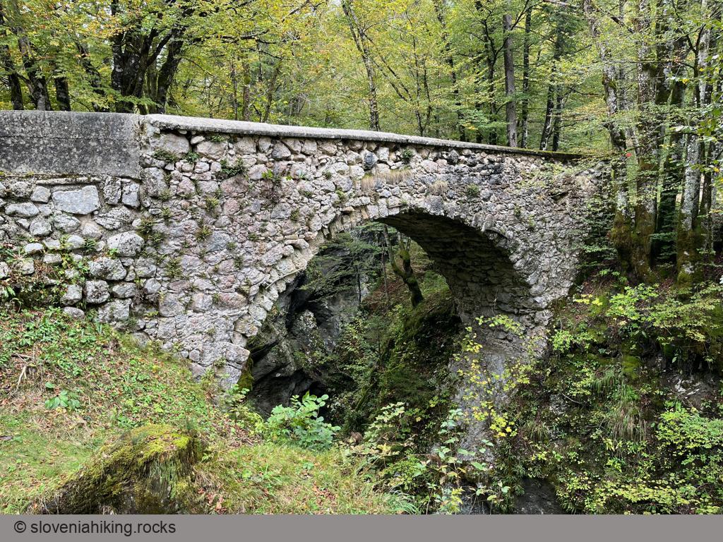
- Following the signs for Korita Mostnice, pass an old stone bridge (Devil’s Bridge), pay your dues (of course, they’ll charge you in summer 🤷♂️), and enjoy the experience.
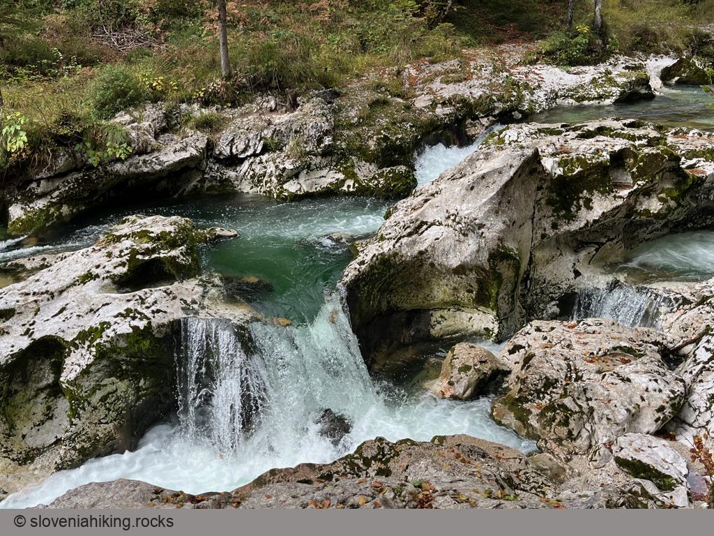
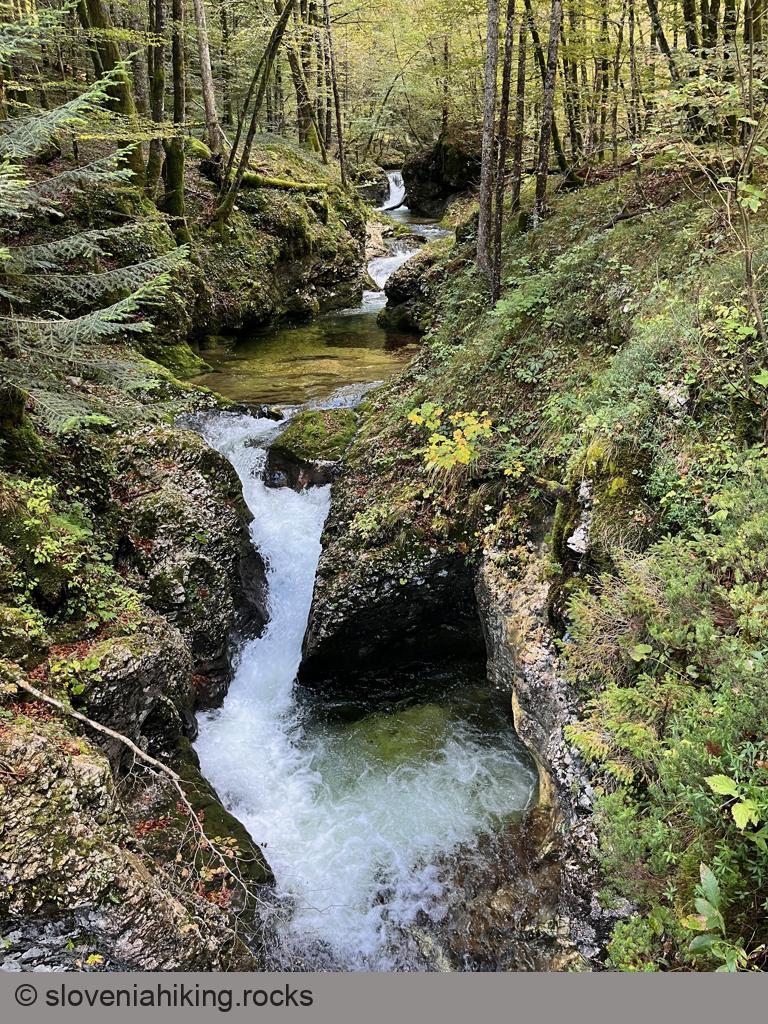
- There’s a footpath along both sides of the gorge. I usually hike upriver on the rightmost one1 and return down the other one.
- The trail around Mostnica Gorge ends with a bridge crossing the gorge. You could immediately return along the other side of the gorge or (much better) hike for another ~15 minutes (a bit steeper terrain) to the Voje mountain hut (Koča na Vojah) and have a snack there.
- Have fun, and enjoy the views ;)
More information on Mostnica Gorge
-
In the direction of hike; it would be left of the river because the direction in which the river flows matters ;) ↩︎
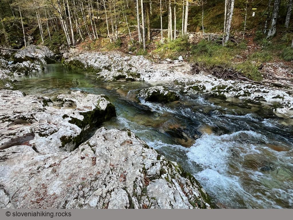
Photo Gallery
Map of the Route
The map shows the path we took as recorded by the GPS receiver. Never trust a GPS track wholeheartedly; rely on your senses and maps.