Hiking in Slovenia » Kamnik-Savinja Alps » Strelovec
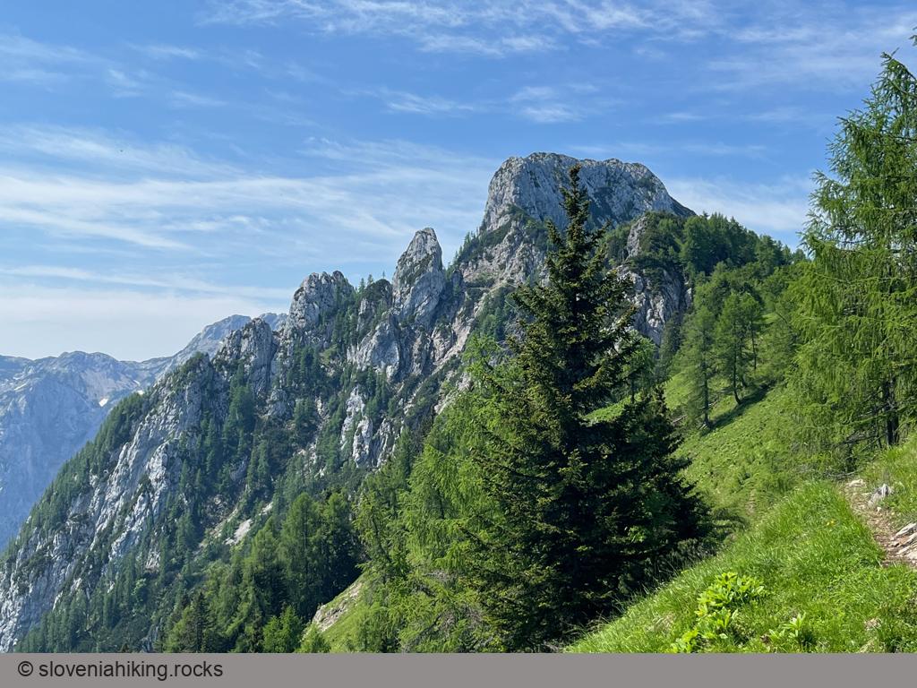
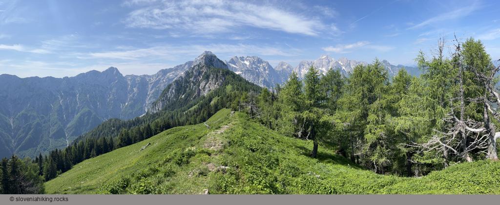
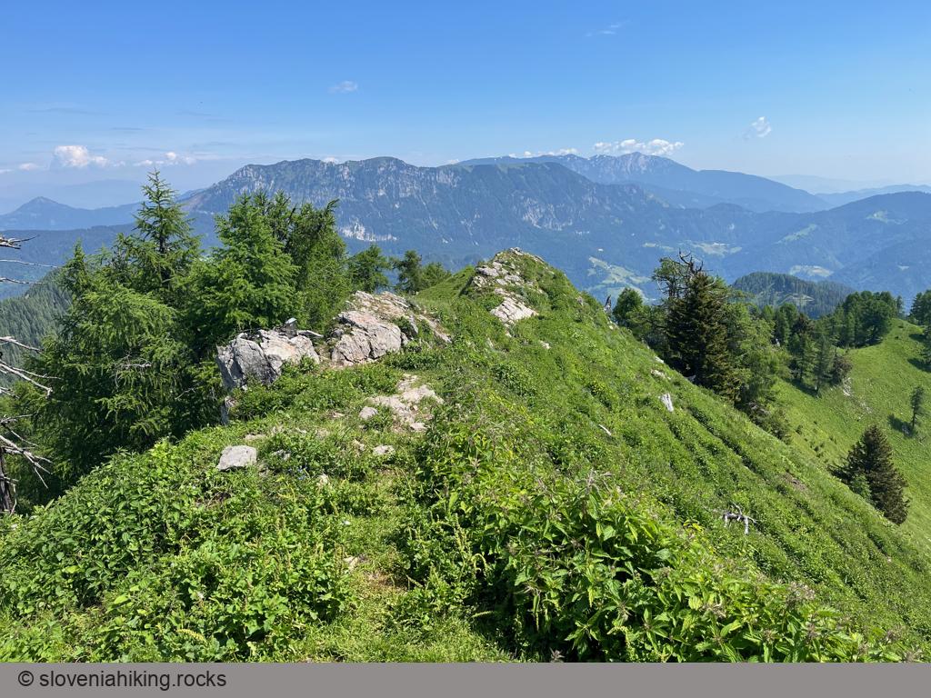
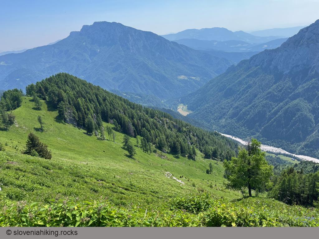
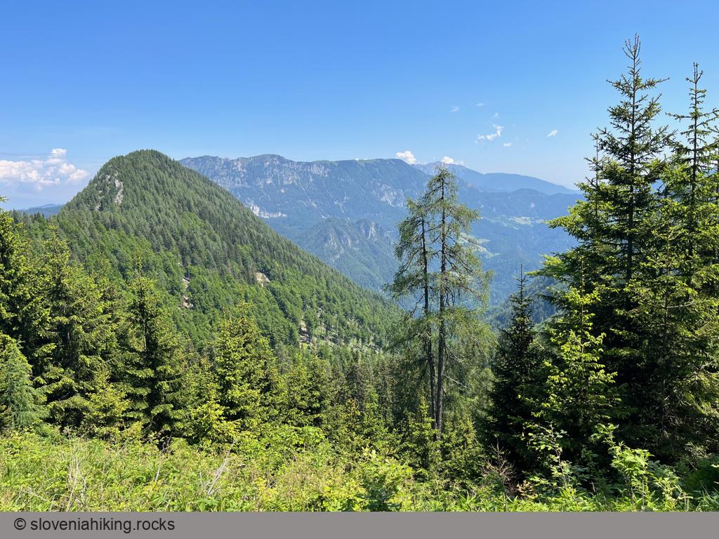
Strelovec is a peak in the ridge east of Logarska Dolina (Logar Valley) with a magnificent 360-degree panorama of surrounding hills and mountains.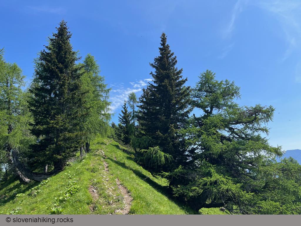
At a Glance
- Difficulty
- Narrow footpath traversing steep slopes
- Altitude
- 1763 m
- Average time
-
Ascent: 3 hours - 3 hours 30 minutes
Descent: 2 hours - 2 hours 30 minutes
Total: 5 - 6 hours
- Elevation gain
- 1040 m
- Coordinates
-
Start: 46.394621,14.630071
Peak: 46.394324,14.658004
Getting There
At least three paths (with a half-dozen variants) lead to Strelovec. Mojca Luštrek wrote a mini-guide describing half of them in Slovenian (the Google translation isn’t too awful); the easiest way to get there is to:
- Hike from Logarska Dolina to Plesnikova Planina
- Take the dirt road from Plesnikova Planina to Icmanikova Planina
- Follow the signs for Strelovec onto a narrow footpath ascending into the forest.
- Follow the waymarks along the easy-to-follow path. Be careful when traversing steep slopes!
- Turn sharp left when you reach the ridge between Strelovec and Krofička, and follow it until you reach the peak.
- Use the same path to return to Logarska Dolina or do a roundtrip via Koča na Klemenči Jami.
Photo Gallery
Map of the Route
The map shows the path we took as recorded by the GPS receiver. Never trust a GPS track wholeheartedly; rely on your senses and maps.