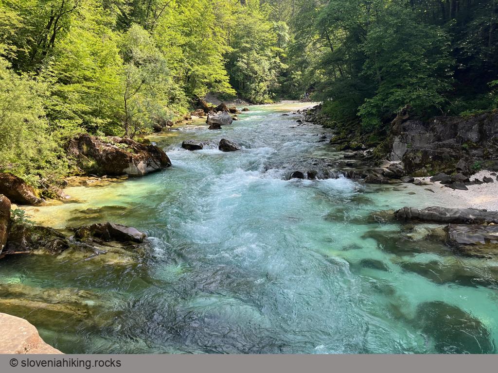
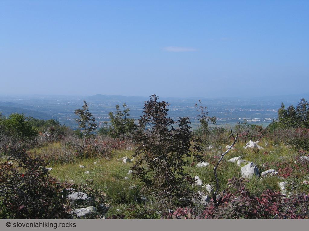
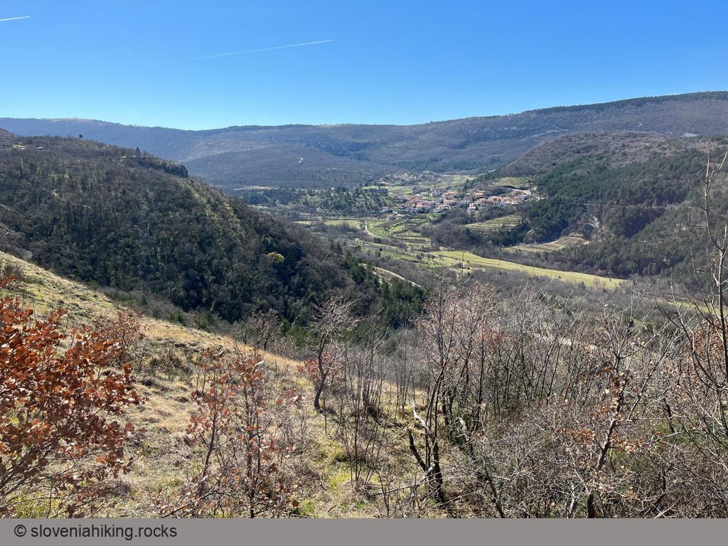
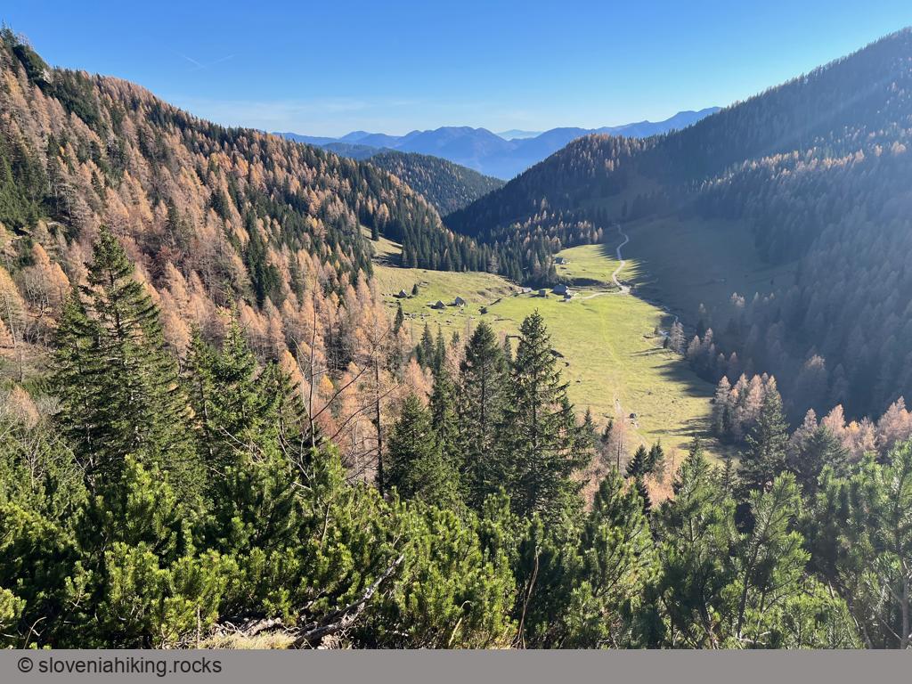
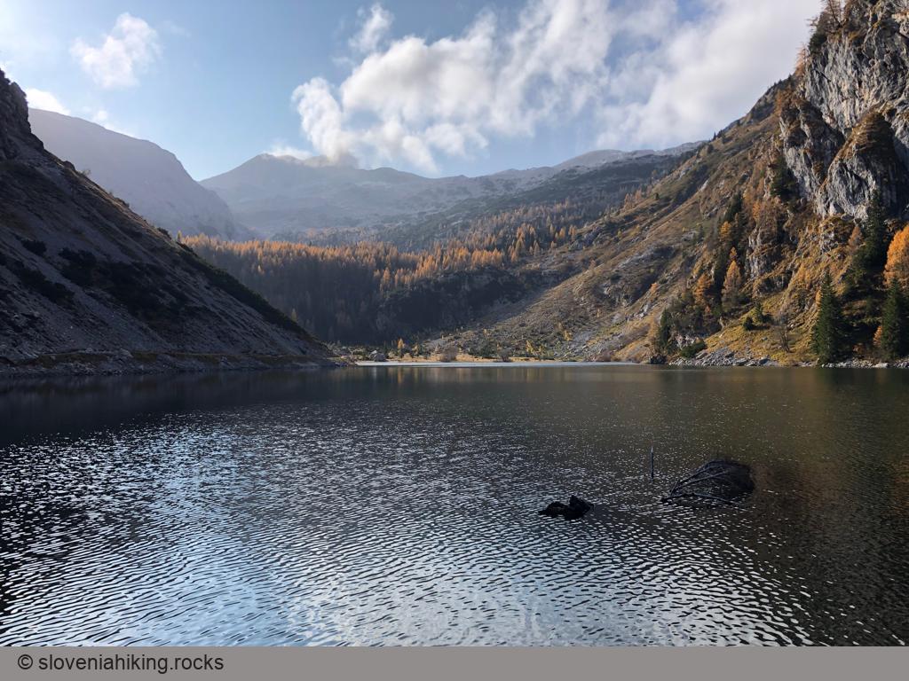
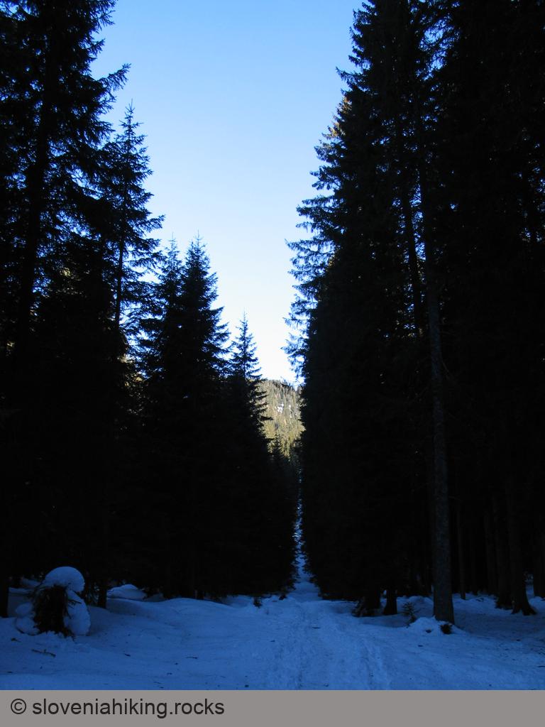
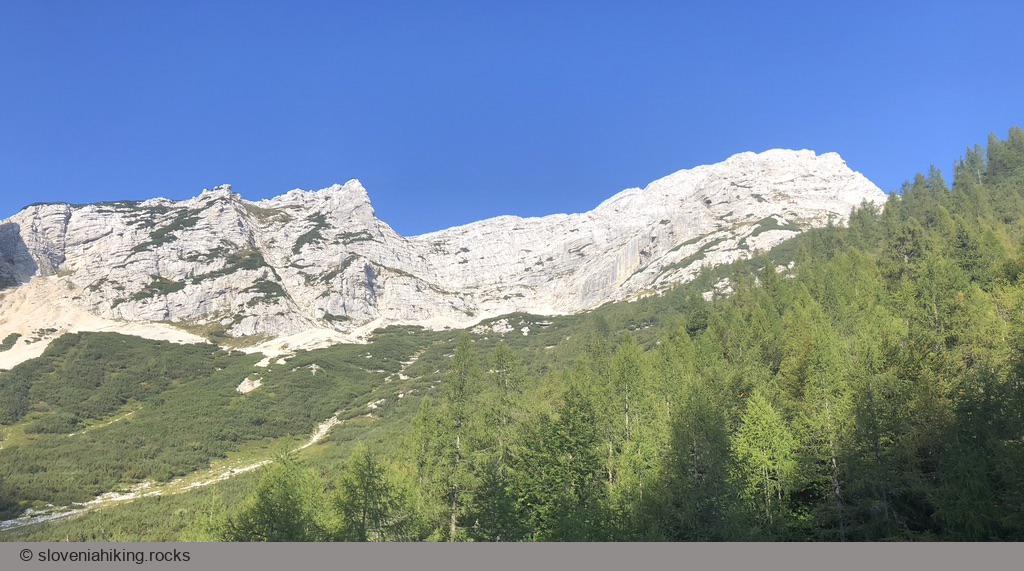
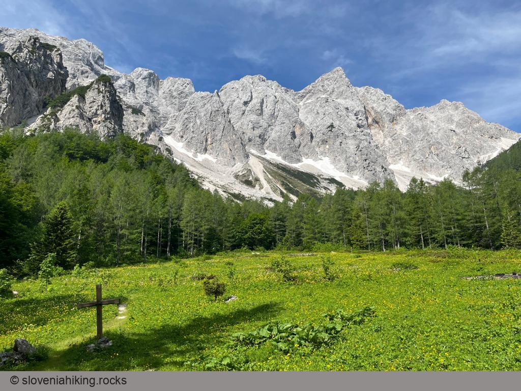
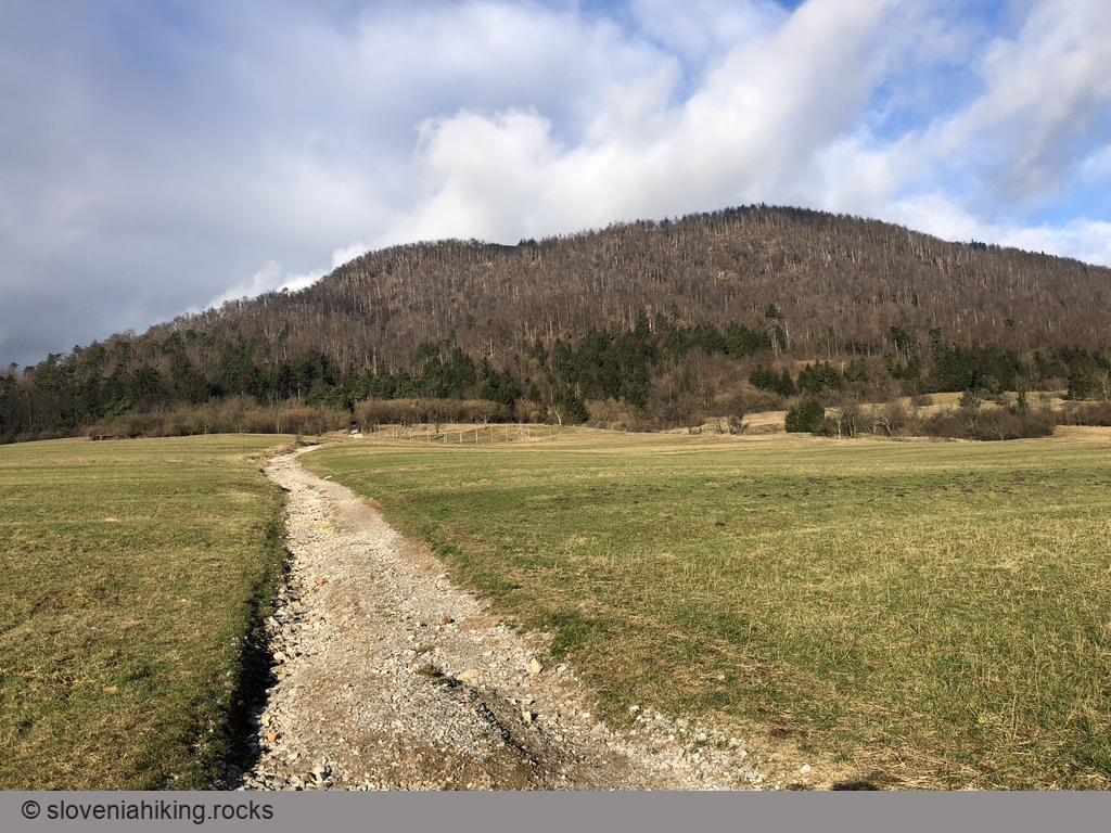
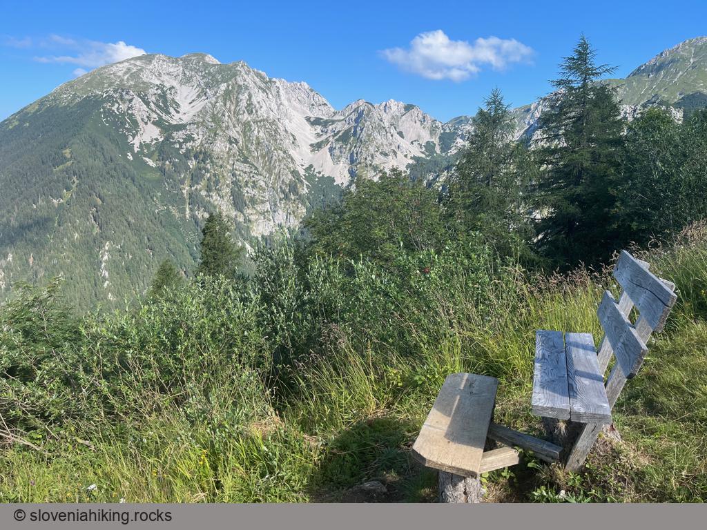
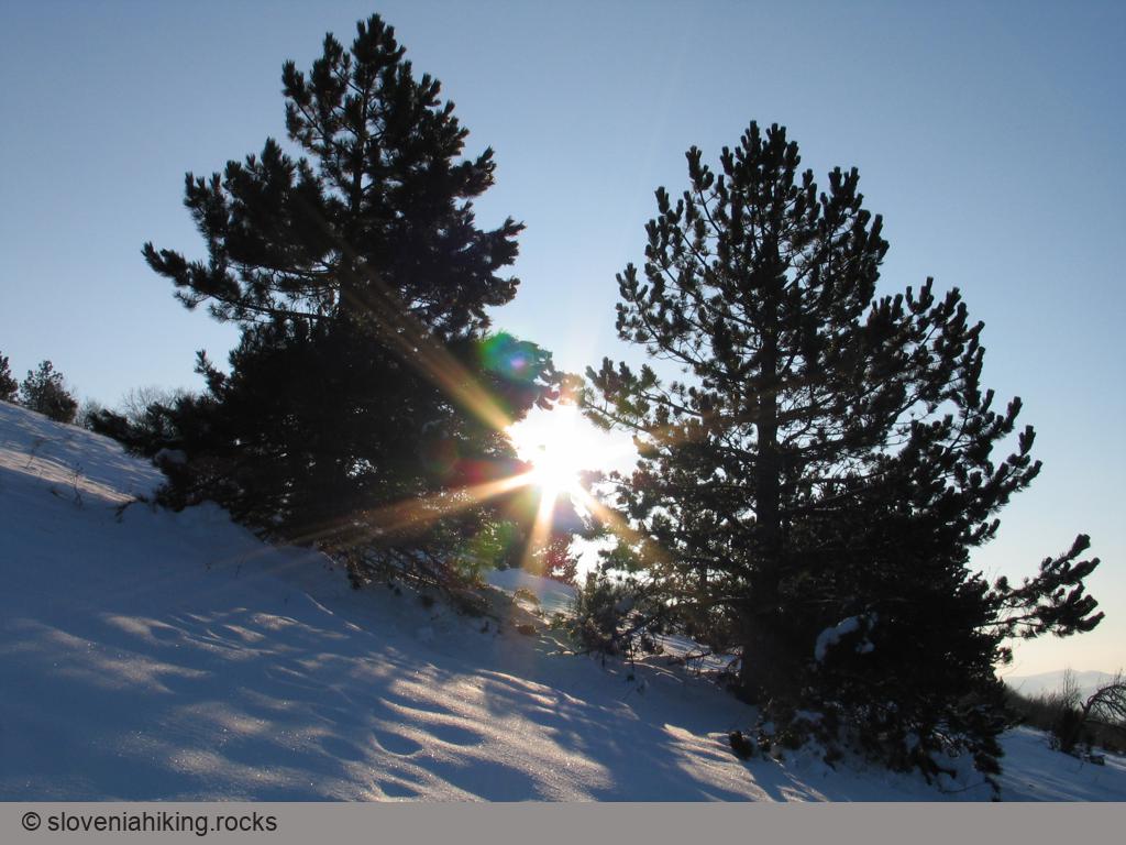
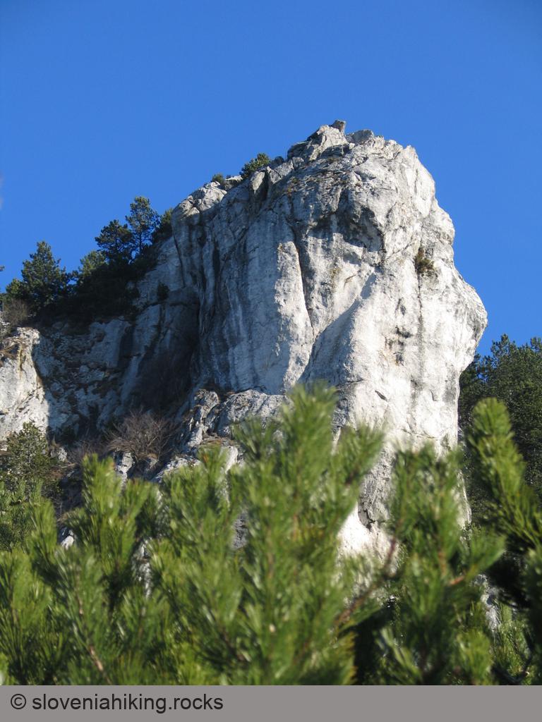
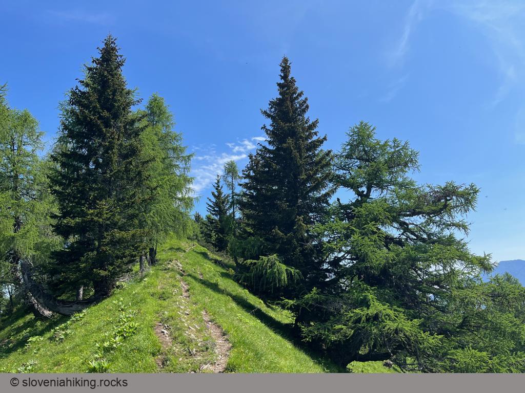
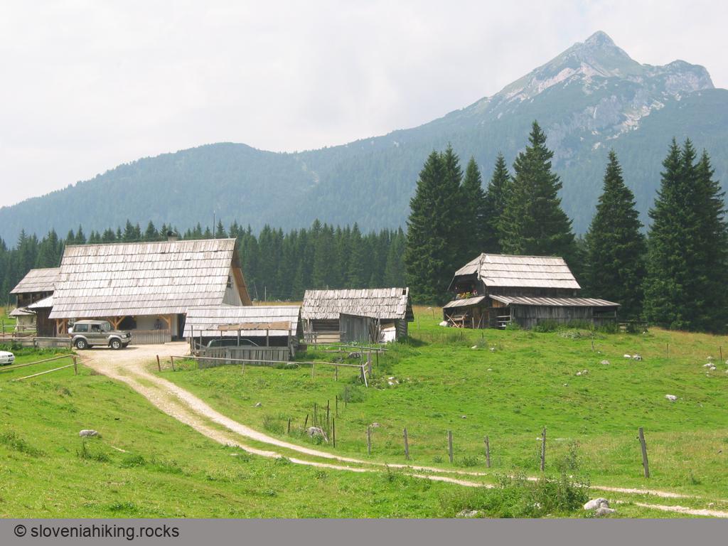
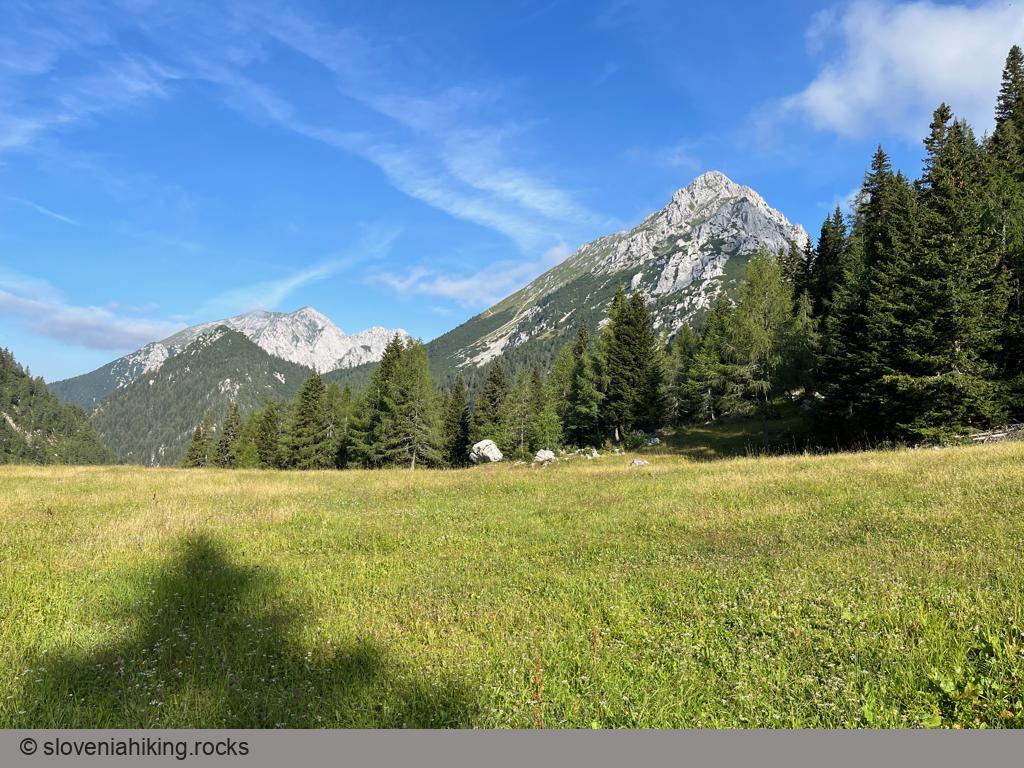
Around Bovec: Čezsoča, Jablanca, Koritnica (599 m, Δ=400 m, 3 hours)
We were staying in Bovec in the lovely House Natura and wanted to walk for a few hours, but we didn’t dare to go high into the mountains due to unstable weather. Our solution: a hike along the many trails around Bovec.
Blegoš from Hotavlje (1562 m, Δ=1100 m, 6 hours)
One of the longest ascents to Blegoš begins in Hotavlje, a village in the valley Poljanska dolina, best known for its quarry of high-quality Hotavlje stone.
Blegoš from Volaka (1562 m, Δ=990 m, 5 hours)
Want to check the view from Blegoš but hate the crowds? Try the solitary hike from Volaka – you’ll rarely meet someone on the old footpaths in the first half of the ascent and might encounter a like-minded soul when your path merges with the road from Leskovica.
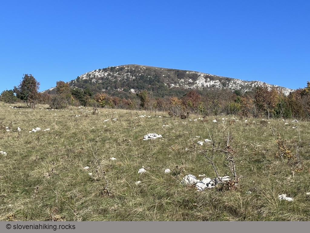
Čaven from Kamnje (1242 m, Δ=990 m, 5 hours)
Farmers from Kamnje, a tiny village high above Vipava valley, had to walk two hours to reach the meadows where they were preparing hay for the winter.
The local mountaineering team decided to preserve that tradition and created a theme path leading from Kamnje to Mala Gora.
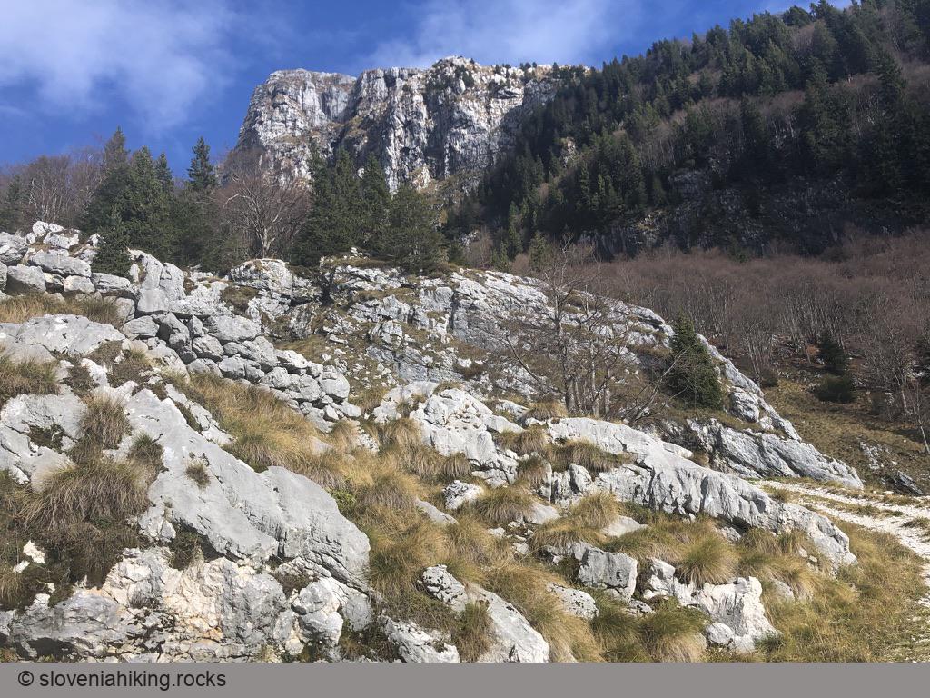
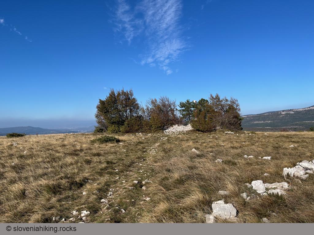
Cerje (343 m, Δ=150 m, 1.5 hour)
Hiking to Cerje, a hilltop with a fantastic view high above Vipava valley, was fun before it was graced with a gigantic Monument of Peace. Gravel roads got a needless coat of asphalt, and the old footpaths turned into wide rocky trails… but if you’re creative and take plenty of detours, you can still have a lovely Karst experience.
Češka koča (Czech hut) (1542 m, Δ=560 m, 3 hours)
Češka koča (Czech hut) is probably the most popular destination in the mountains above Jezersko. At least four marked trails lead to it; we found the one via Štularjeva Planina (Štular’s Alp) by far the most pleasant.
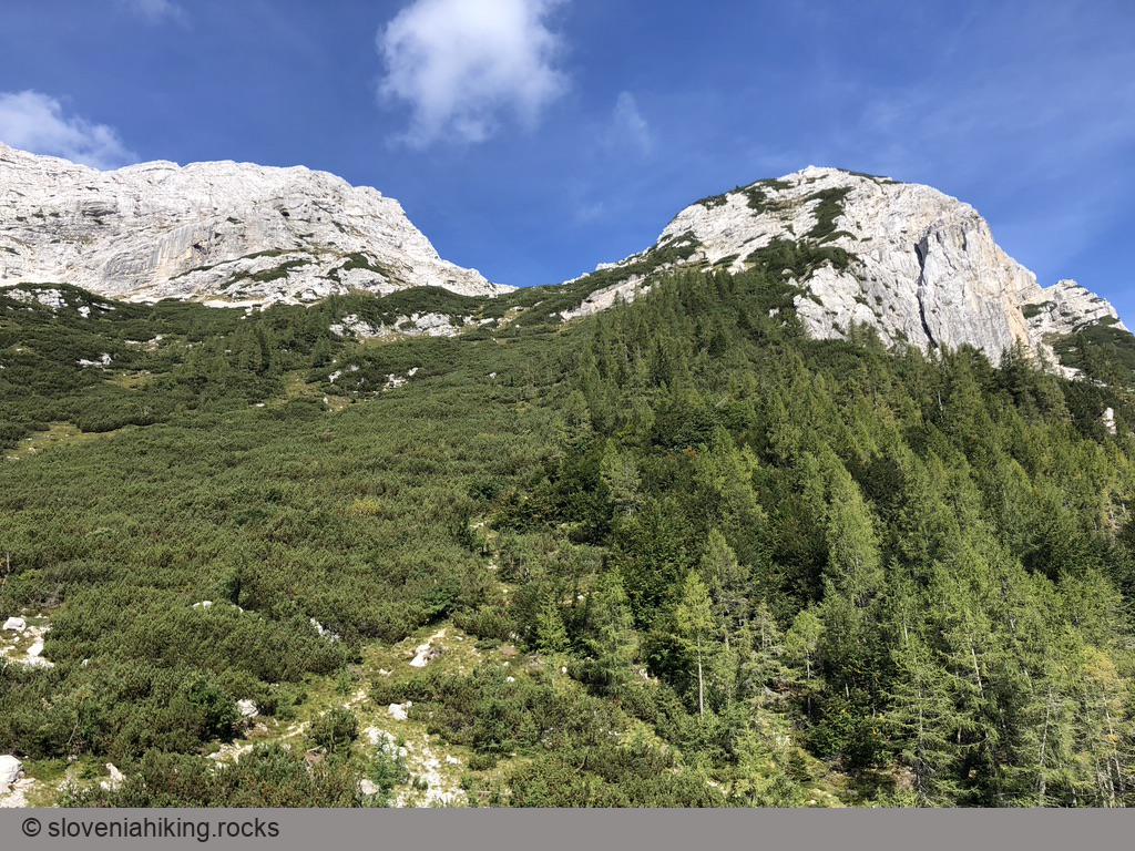
Debeli Vrh (Fat Peak) (1959 m, Δ=760 m, 4.5 hours)
Debeli Vrh (Fat Peak) is one of the many minor peaks in the long ridge between Pokljuka plateau and Krma valley. Most hikers rush to nearby Viševnik or Lipanca, so you’re almost guaranteed to be on your own enjoying the views and solitude.
From Krnica toward Pokljuka (1100 m, Δ=480 m, 3.5 hours)
Hiking from Krnica (a village at the bottom of the slopes of Pokljuka plateau) to Pokljuka takes at least three hours, and it tends to get boring – the landscape doesn’t change, and there are no spectacular views. No problem, a bit of ingenuity creates a nice roundtrip.
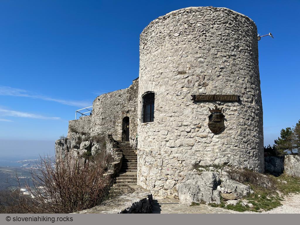
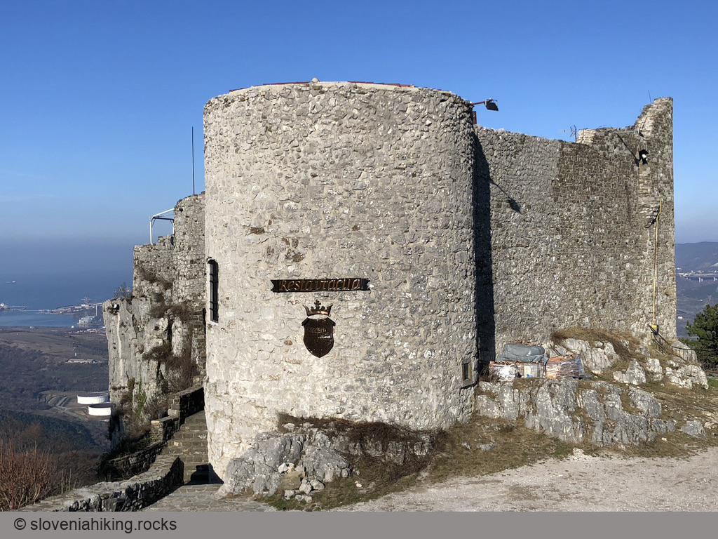
From Osp to Socerb (437 m, Δ=420 m, 2 hours)
Socerb is a castle above the steep cliffs of Karst Edge with a beautiful view of the Bay of Trieste. You can get there by car (the castle restaurant has excellent food), but it’s more fun to hike there from Osp, a village better known for its extensive climbing areas.
Goli vrh near Jezersko (1787 m, Δ=780 m, 4.5 hours)
Goli Vrh is one of the lower peaks in the Slovenia-Austria border ridge east of Jezersko border crossing. The path leading to the top is one of the steepest paths we’ve encountered in years, but the lovely views of Jezersko, surrounding mountains, Karavanke ranges, and Austrian peaks are well worth the effort.
Golič (890 m, Δ=580 m, 5 hours)
Want to experience expansive meadows with beautiful vistas in the middle of nowhere? Golič, a multi-peak ridge south of Slavnik, might be just what you’re looking for.
Goričica Alp (Planina Goričica) (1340 m, Δ=750 m, 4 hours)
Goričica is a forgotten alp high on the slopes of Kanin massif. It’s a perfect place when you’re seeking solitude – even though a waymarked path crosses the alp, it was utterly overgrown when I was there.
Hrastovlje – Podpeč – Brežec – Zazid (566 m, Δ=700 m, 5 hours)
We decided to take a somewhat longer hike in Istria, and found a path that took us from Hrastovlje to Karst Edge and back around the upper Rižana Valley.
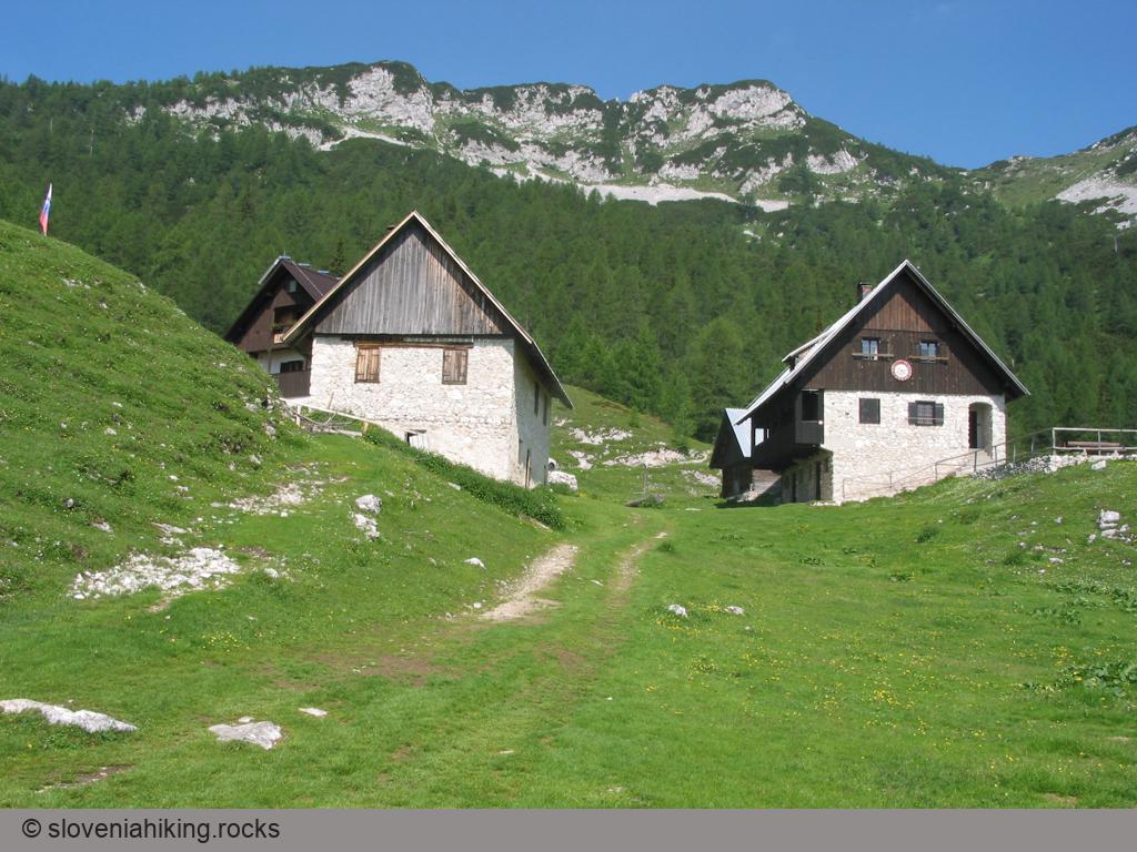
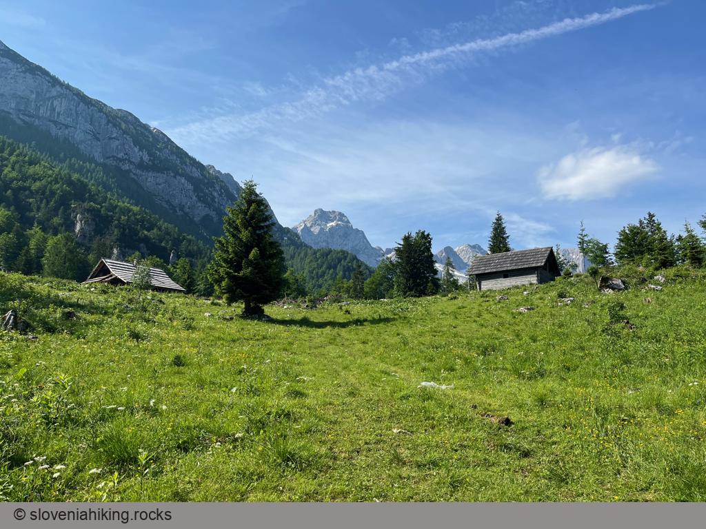
Icmanikova Planina and Logarska Peč (1533 m, Δ=780 m, 4 hours)
Icmanikova Planina (Icmanik Alp) is the highest-lying alp on the eastern slopes of Logarska Dolina (Logar Valley); the view from the nearby Logarska Peč is probably the best one in Logarska Dolina.
Jampršnik (649 m, Δ=260 m, 2 hours)
Jampršnik is a barely noticeable peak above the overhanging cliffs of Karst Edge. If you find yourself in Zazid but haven’t been to Slovenian Istria before, don’t waste time going there; the hike to Lipnik or Kavčič is infinitely more picturesque. However, if you’ve visited most of the other peaks along the Karst Edge, Jampršnik might be an attractive alternative destination.

Jenkova Planina (1495 m, Δ=490 m, 3 hours)
Jenkova Planina is a small meadow on a saddle in a ridge running along the Slovenian-Austrian border with a nice view of the highest peaks around Jezersko. While the hike tends to be a bit boring, you’ll appreciate the dark forest you’re walking through in the summer heat.
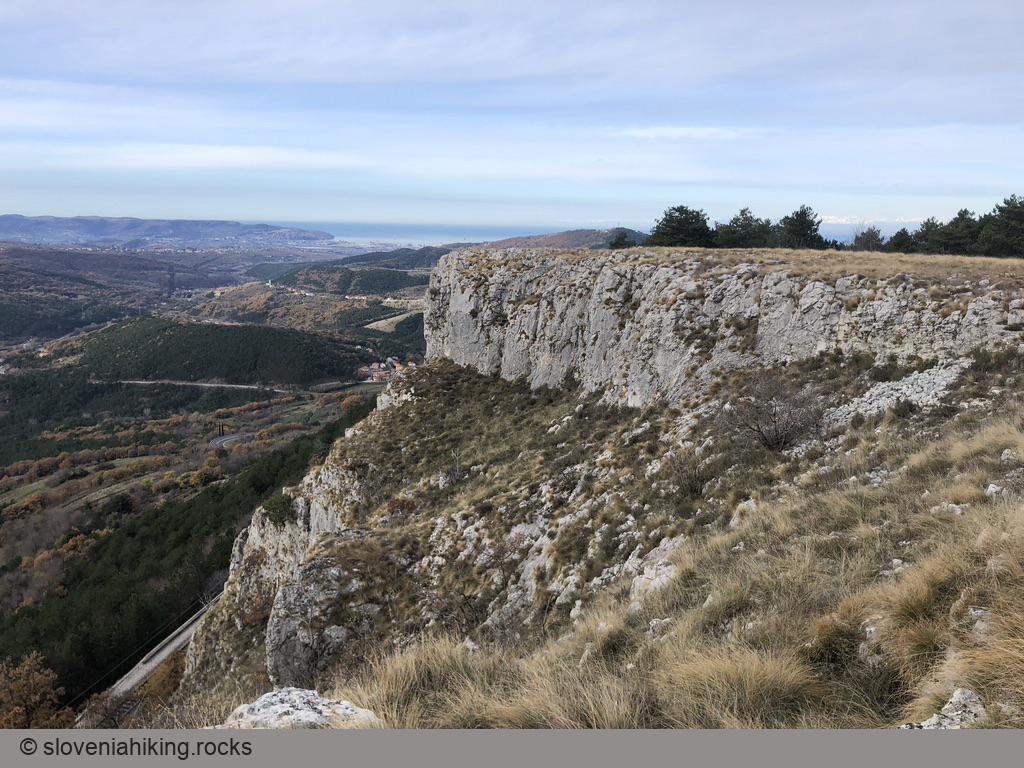
Karst Edge: Around Črni Kal (420 m, Δ=210 m, 2 hours)
We love exploring paths around the Karst Edge from Črni Kal to Zazid, and it’s even more fun if they happen to be unmarked. This time we’ll do an easy hike along old dirt roads – an ideal family weekend trip.
Kavčič from Rakitovec (883 m, Δ=400 m, 3 hours)
Kavčič is the easternmost peak in the Kraški Rob (Karst Edge) ridge, with a beautiful view of surrounding meadows and hills.
Kobilja glava (1475 m, Δ=430 m, 2.5 hours)
Kobilja glava is a grassy peak east of Tolmin with a wonderful view of southern peaks of Julian Alps. You could hike there from Planina Stador (Stador Alp), or start way lower on the road to extend the hike for another hour.
Kojnik (802 m, Δ=290 m, 2 hours)
Kojnik is a wooded hilltop south of Slavnik with an excellent view of Slavnik and Golič ridges. You might want to go there when you see hordes going to the vastly more popular Slavnik; it might also be a lovely destination for a longer family hike.
Kokoš from Lokev (670 m, Δ=210 m, 2.5 hours)
Kokoš is one of the summits in the hill range separating Sežana Karst (more accurately Lokavsko polje) from the Gulf of Trieste. These hills are crisscrossed with hiking paths and cycling tracks, making them ideal for spring and autumn walks.
Konjščica Alp (1440 m, Δ=200 m, 2 hours)
Konjščica is a sunny alp on the western edge of the Pokljuka plateau, nestled between the Viševnik and Ablanca ridges. Getting there from Rudno Polje is an easy hike, making it a perfect half-day family trip.
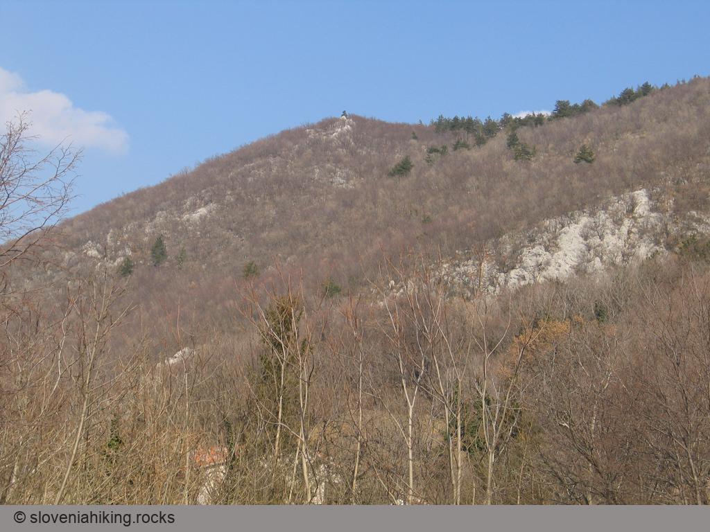
Kota 1313 (Veliki Rob) (1313 m, Δ=920 m, 5 hours)
Kota 1313 (Peak 1313) is a First World War Austrian artillery observation point high above Koritnica Valley with a fantastic view of Bovec and surrounding mountains. The easiest way to get there is via the waymarked path to Rombon (starting at Kluže fortress); start in Bovec if you’re looking for a less-crowded approach.
Kovk from Col (961 m, Δ=320 m, 2 hours)
Getting from Col (a village along an old Roman road) to Kovk (a scenic hilltop high above Vipava valley) is a comfortable hour-long hike with a few steeper sections – ideal for an afternoon family stroll.
Kovk from Vipava Valley (961 m, Δ=550 m, 3 hours)
The steep footpath to Kovk from the hunting hut in Budanje is an excellent choice for the days when you’re looking for a quick strenuous hike with a fantastic view.
Krnica Alp (Planina Krnica) (1252 m, Δ=650 m, 4 hours)
Planina Krnica (Krnica Alp) is a rocky alp high on the southern slopes of Kanin massif with a wonderful view of the peaks across the Soča valley. If you’re stubborn enough you can get there by road; if you love long hikes start in Bovec. We decided for an interim approach.
Kuk and Gradež above Hrastovlje (507 m, Δ=410 m, 3 hours)
Veliki Gradež and Kuk are barely visible bumps (with incredible vistas) at the edge of an expansive steppe-like meadow east of Hrastovlje and Rižana Valley.
Lačna from Gračišče (451 m, Δ=150 m, 1.5 hour)
A leisurely walk from Gračišče (a village in Slovenian Istria next to the main road toward Buzet) to Lačna is an ideal short family hike that you could easily extend into a much longer experience, depending on how enthusiastic your kids are.
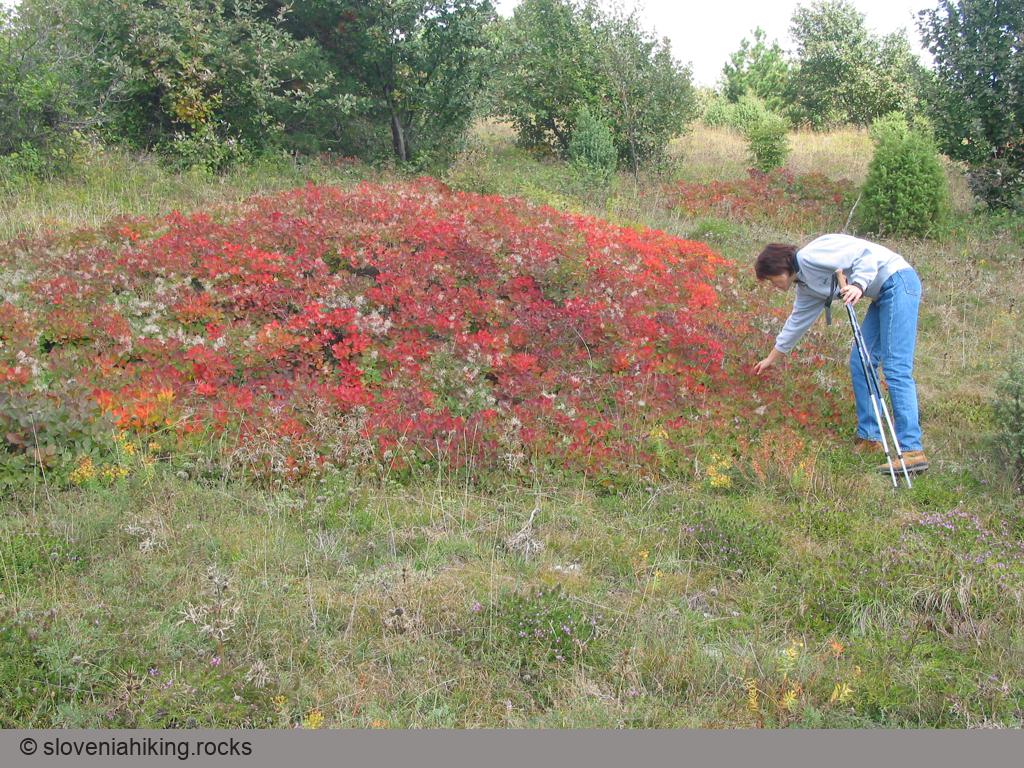
Lačna, Kuk and Kvirik (497 m, Δ=500 m, 4 hours)
We love visiting Lačna in autumn to enjoy the fiery fall colors of the European smoke bush, and we try to do a slightly different hike every year. This time, we went for a long roundtrip visiting Lačna, Kuk, Movraž, and Kvirik.
Lake Krn (Krnsko jezero) (1394 m, Δ=820 m, 4 hours)
The wonderful Lake Krn on an alp north of Mount Krn is the largest Slovenian high mountain glacial lake. I found most of the hike from Lepena thoroughly boring, but the views from the alpine meadows and the lake itself are spectacular and well worth the effort.
Lipanca from Hotel Pokljuka (1630 m, Δ=460 m, 4 hours)
If you’d like to have a long hike through Pokljuka forests combined with a whiff of an ascent, a great view, and some local food in a mountain hut, hike from Hotel Pokljuka to Lipanca.
Lipanca from Medvedova konta (1630 m, Δ=220 m, 1 hour)
The ascent from Medvedova Konta to Lipanca is the shortest way to get to this lovely alp. Use it when you want to visit the peaks above Lipanca (but be early; it’s tough to find a parking spot in the summer months).
Lipanca from Rudno Polje (1630 m, Δ=310 m, 3 hours)
The route from Rudno polje to Lipanca is an ideal family trip: it starts as a gentle walk through the mighty Pokljuka spruce forests, continues with a slight ascent on the margin of the Pokljuka plateau, becomes somewhat more diverse and ends on the fairly steep grass slopes below Lipanca.
Lipanca from Rupe (1630 m, Δ=300 m, 2 hours)
I found the hike from Rupe to Lipanca boring, and even though I’ve been visiting Lipanca for almost 20 years, I took it only once. If you’re looking for a short ascent, start in Medvedova Konta, if you want to go to Lipanca in winter, start at Zajavornik Alp.
Lipanca from Zajavornik Alp (1630 m, Δ=340 m, 2 hours)
The hike from Zajavornik Alp is one of the longer hikes to Lipanca; start in Medvedova Konta if your final goal is one of the peaks above Krma Valley. On the other hand, you can often get to Zajavornik Alp in winter when most other roads on Pokljuka are closed, and you probably won’t have any problems finding a parking spot.
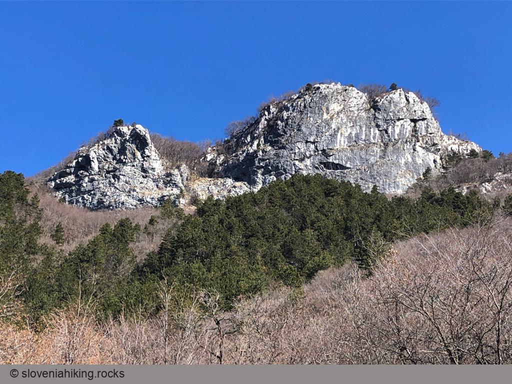
Lipnik from Zazid (804 m, Δ=420 m, 4 hours)
Lipnik is one of many barely noticeable peaks on Kraški Rob (Karst Edge), the border between limestone Karst plateau and flysch terrain of lower Istria. Hike there in early May and enjoy the wildflowers along the way.
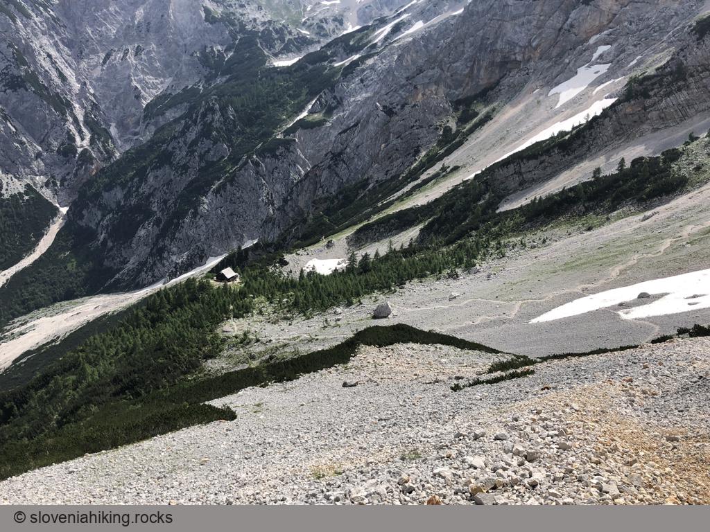
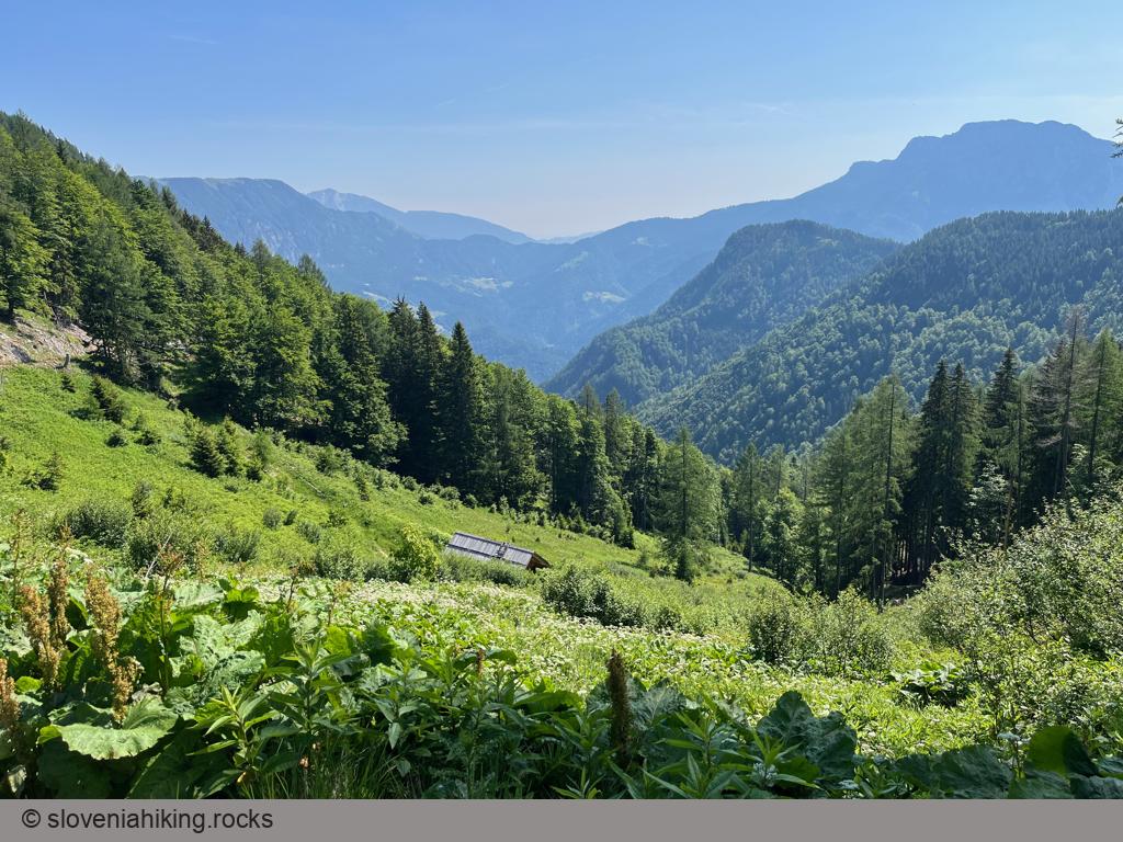
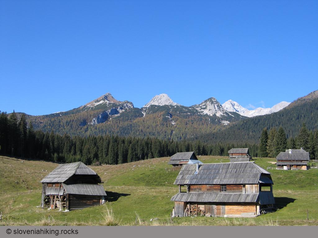
Loška Koritnica (1103 m, Δ=460 m, 4 hours)
Loška Koritnica is a beautiful alpine valley surrounded by more than fifteen peaks higher than 2000 meters. We’ll explore its upper parts, from Log pod Mangartom to Koritnica’s source.
Mala Mojstrovka (2332 m, Δ=720 m, 4 hours)
Mala Mojstrovka is one of the most popular peaks in the Julian Alps. The crowds of hikers have successfully worn out the most accessible trail leading to the top, making the hike a somewhat disgusting experience. Fortunately, there are other less popular ways to the top – we’ll get there from Nad Šitom Glava.
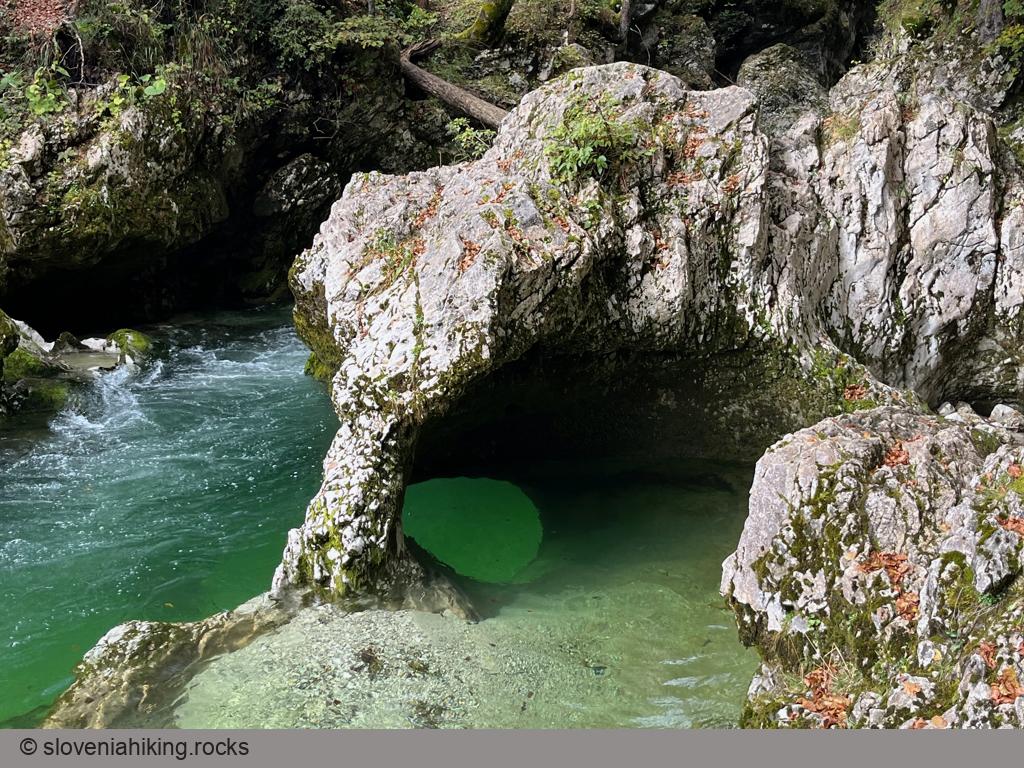
Mostnica Gorge (Korita Mostnice) (690 m, Δ=140 m, 1.5 hour)
The hike along Mostnica Gorge (Korita Mostnice) is a wonderful, easy family hike along a stunning natural wonder.
Nad Šitom Glava (2087 m, Δ=480 m, 3 hours)
Nad Šitom Glava is an ignored peak above Vršič pass. Rock climbers love its eastern and northern rockfaces; most hikers ignore it while rushing to nearby Mala Mojstrovka. Guess what – that gives you an option to avoid the crowds; all you have to do is to take a wrong turn ;)
Nanos (Pleša) from Abram (1262 m, Δ=560 m, 4.5 hours)
The hike across sunny Nanos meadows from Abram (a 500-year old farm situated 800m above the Vipava valley) is my favorite way to reach Pleša, the most prominent Nanos peak.
We love taking the hike in May and June, enjoying the wildflowers, or doing it in late autumn or early spring when the soil is still frozen.
Okrešelj From Logarska Valley (1390 m, Δ=370 m, 2 hours)
Okrešelj is a phenomenal amphitheater at the end of Logarska Dolina (Logar Valley), surrounded by steep northern walls of the majestic peaks belonging to the main ridge of Kamnik-Savinja Alps.
Orlovca (860 m, Δ=320 m, 2 hours)
Orlovca (Eagle Rock) is a large overhanging cliff at the edge of Gora plateau high above Vipava Valley. It’s one of the highlights of the Angel Mountain Trail (Pot po Angelski Gori); we’ll use a tiny bit of that trail to get there.
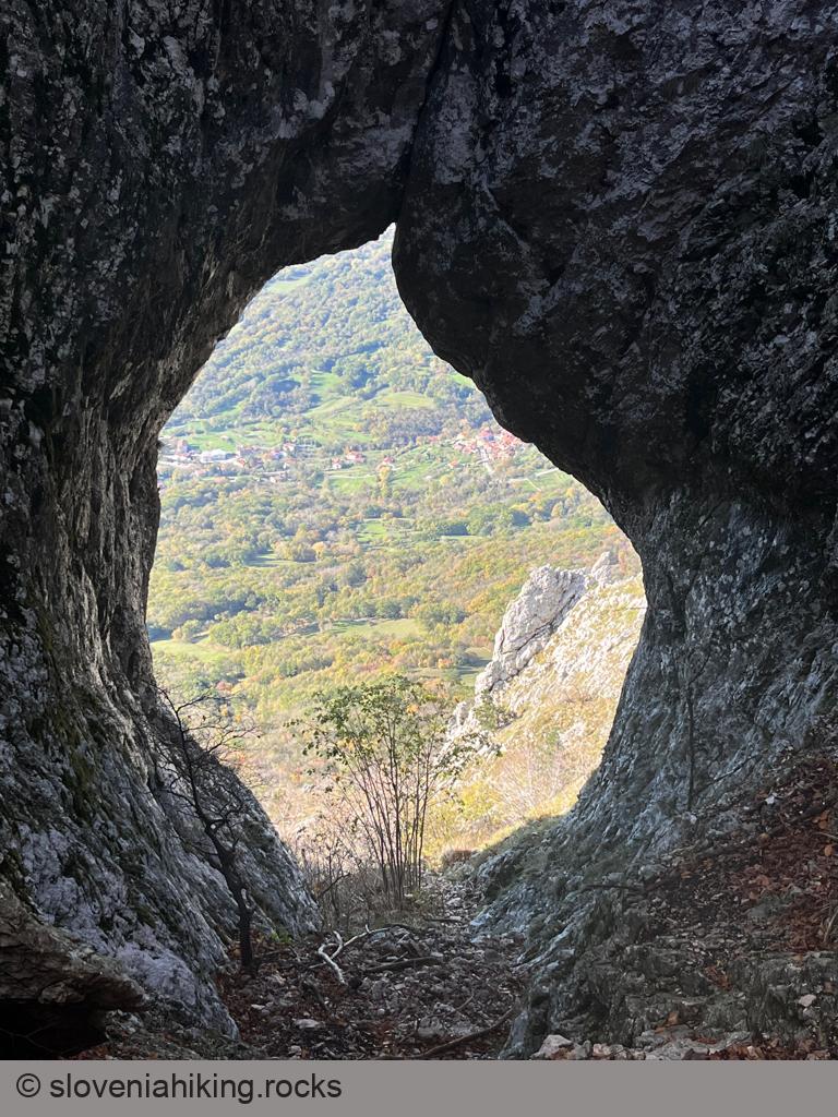
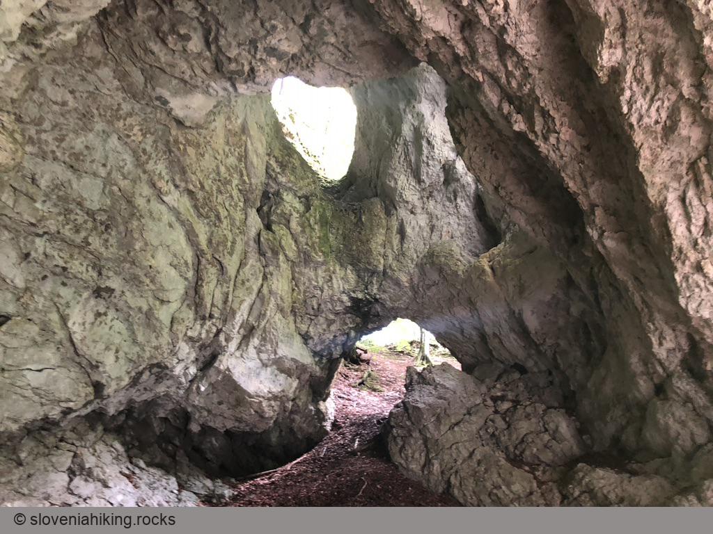
Otlica's Natural Window (820 m, Δ=580 m, 3 hours)
Otliško okno (Otlica Window) is a large natural window at the edge of the Gora plateau high above Vipava valley. It’s just a short walk from Otlica, a village on Gora, but it’s more fun to hike there from the valley.

Planina from Kuren (735 m, Δ=230 m, 1.5 hour)
The hike to Planina above Vrhnika (Špica) from Kuren is an ideal weekend family hike.

Planina Golobar (1314 m, Δ=960 m, 5 hours)
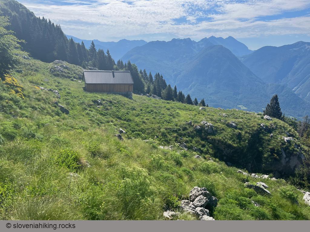
Planina Golobar is one of the hidden gems of upper Soča valley. A long hike through a beech forest will reward you with magnificent views of surrounding peaks.
Planinica (1136 m, Δ=450 m, 2 hours)
Planinica is the lowest-lying alp on the southern slopes of Begunjščica ridge. Hiking there will take a tad longer than an hour, and the hut on the alp promises all sorts of local delicacies and even ice cream – a perfect family hike.
Planinska Gora (880 m, Δ=410 m, 2 hours)
Planinska Gora (Planina’’s Mountain) is the easternmost part of the ridge extending from Planina (near Postojna) to Bukovje and Predjama. The hike will take you along wide trails with only an occasional steep section or two, making it ideal for a family excursion with restless kids.
Plaz above Vipava (529 m, Δ=270 m, 1.5 hour)
Plaz is a scenic viewpoint above Vipava. Pleasant footpaths lead to it from Vipava and Gradišče, making it a perfect destination of an afternoon family hike.
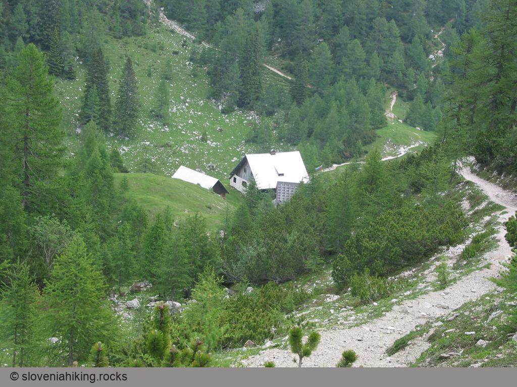
Plesnikova Planina (1319 m, Δ=560 m, 3 hours)
Plesnikova Planina (Plesnik Alp) is a rarely-visited alp on the eastern slopes of Logarska Dolina (Logar Valley) with a lovely view of the surrounding mountains.
Pokljuka Gorge (773 m, Δ=180 m, 2 hours)
If you happen to be near Bled and love gorges, you could choose between going to Vintgar or Pokljuka Gorge. Vintgar looks better (due to the river flowing through it), but it’s usually overcrowded, resulting in a Disneyland vibe. If you prefer wild habitats, there’s no doubt: visiting Pokljuka Gorge is a must.
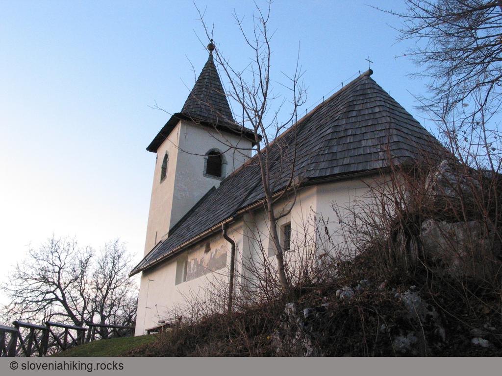
Polhograjska Gora (824 m, Δ=450 m, 2.5 hours)
Imagine you were living in a small village in the 17th century. How would you call the hilltop behind it? If it’s high enough, it’s bound to be The Mountain. Fast forward to the times of mass tourism – the townspeople want to know which Mountain they visited when they brag about their weekend trips. Welcome to the etymology of Polhograjska Gora (Polhov Gradec Mountain), a lovely hilltop with a church of Saint Laurent.
Pomjan Fairy Tale (350 m, Δ=430 m, 2.5 hours)
Pomjan is a village on a hilltop high above the Slovenian coast – an ideal destination for a family excursion or a wake-me-up morning hike starting at the outskirts of Koper.
Praproče and Marija Snežna (467 m, Δ=240 m, 3 hours)
The church of Marija Snežna (Santa Maria Maggiore), hidden on a wooded hill north of the Karst Edge, is a beautiful destination for a half-day hike if you love hiking around Črni Kal but have exhausted all the obvious choices.
Raduha from Planina Loka (2062 m, Δ=630 m, 3.5 hours)
The simplest ascent of Raduha follows waymarked paths from the Planina Loka.
Roblekov Dom (1657 m, Δ=950 m, 5 hours)
Roblekov Dom is a legendary mountain hut high on the slopes of Begunjščica ridge with a great view of Stol, Vrtača, lake Bled, and the Julian Alps with Triglav.
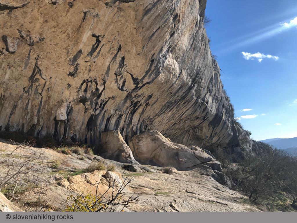
Rock Shelters in Veli Badin (410 m, Δ=300 m, 2 hours)
The cliffs at the boundary between limestone and clay parts of Slovenian Istria end with enormous rock shelters – a must-see for every hiker visiting these parts of Slovenia.
Saint Ana above Ljubljana Marsh (484 m, Δ=190 m, 1 hour)
The hilltops south of Ljubljana Marsh are dotted with small churches; the most popular of them is probably the church of Saint Ana – you can reach it in half an hour from any nearby starting point.
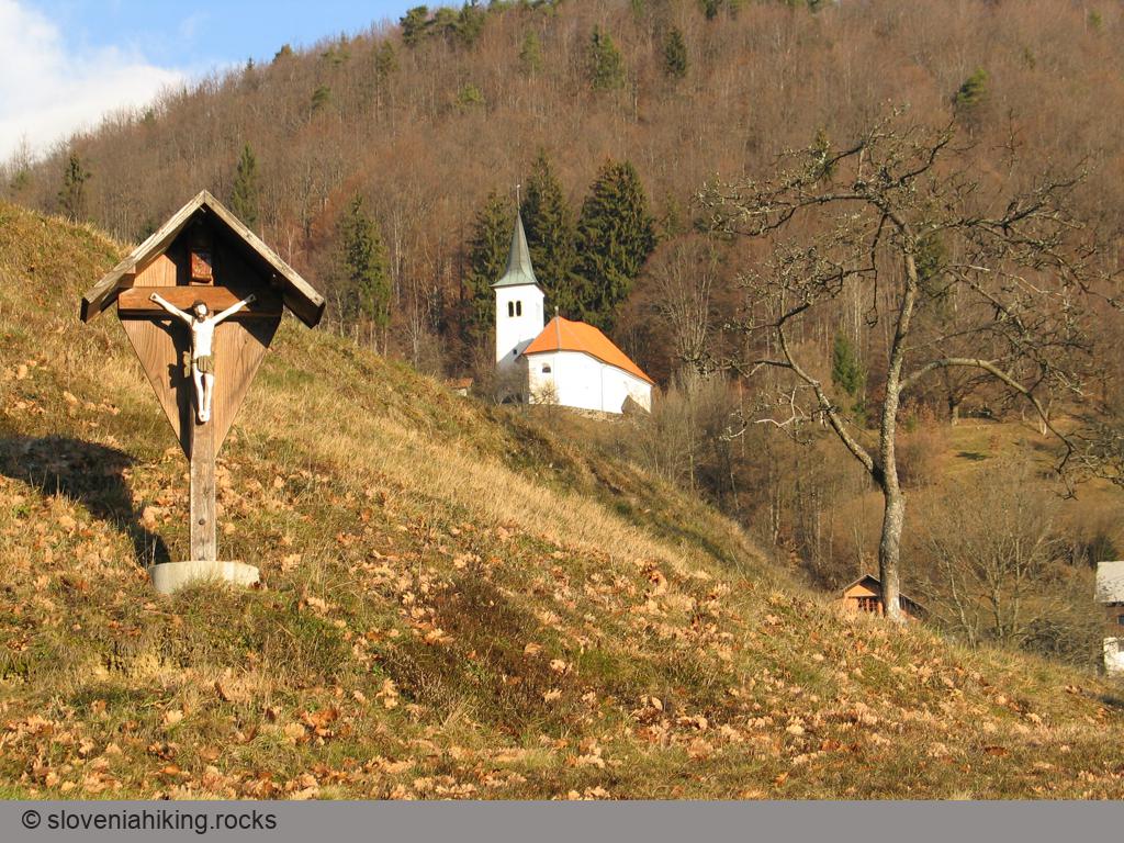
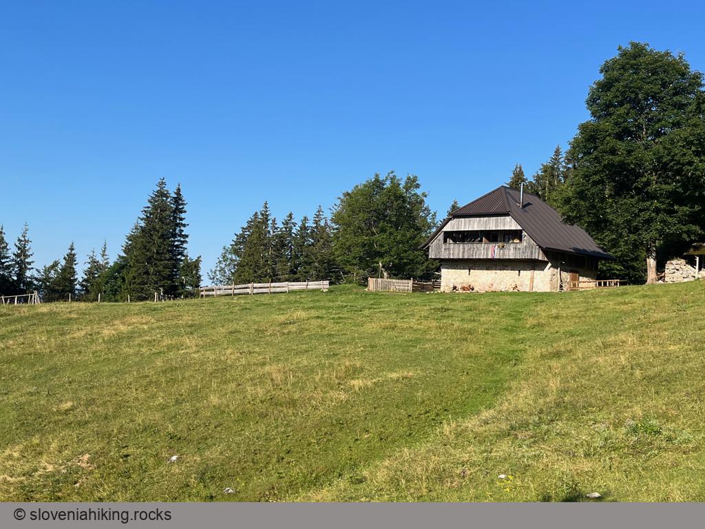
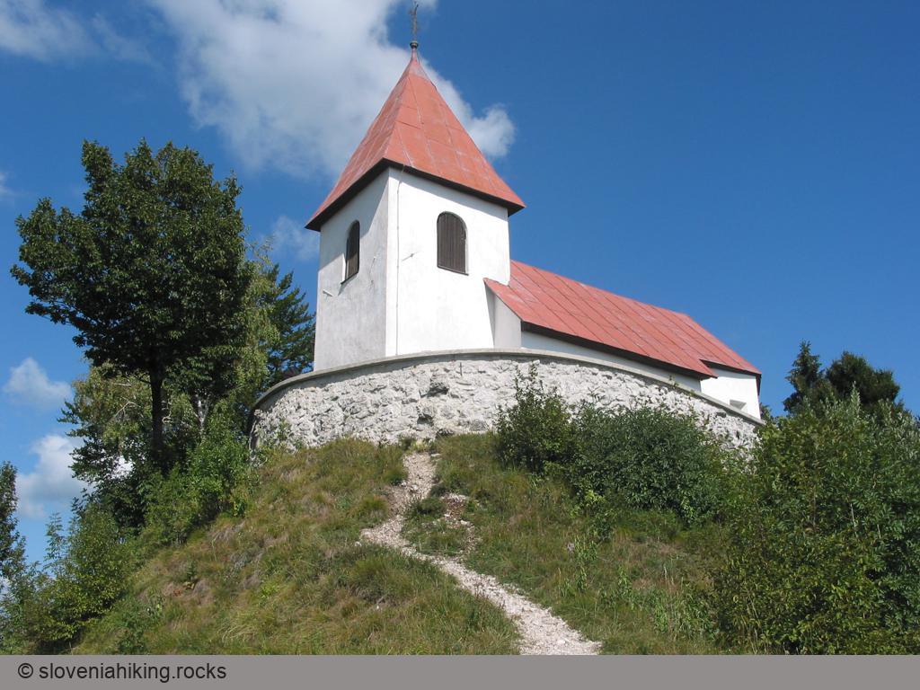
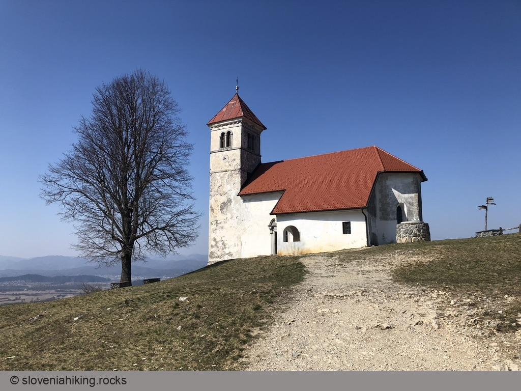
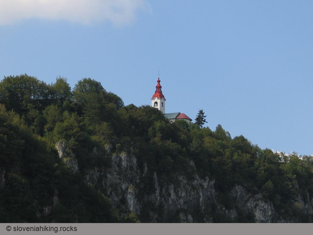
Saint Jakob above Preddvor (961 m, Δ=440 m, 2 hours)
From the church of Saint Jacob, sitting on the western ridge of Potoška Gora high above Preddvor, you’ll have a phenomenal view of the Slovenian Alps. The vista, and the legendary mountain hut next to the church, make this hilltop a beloved hiking destination.
Saint Nicholas above Vipava Valley (445 m, Δ=210 m, 2 hours)
As you’re traveling on the highway from Postojna toward Vipava, you might notice a tiny church high on the slopes of Nanos plateau (look right just before the gas station) – the Saint Nicholas church, a perfect destination for a short family hike.
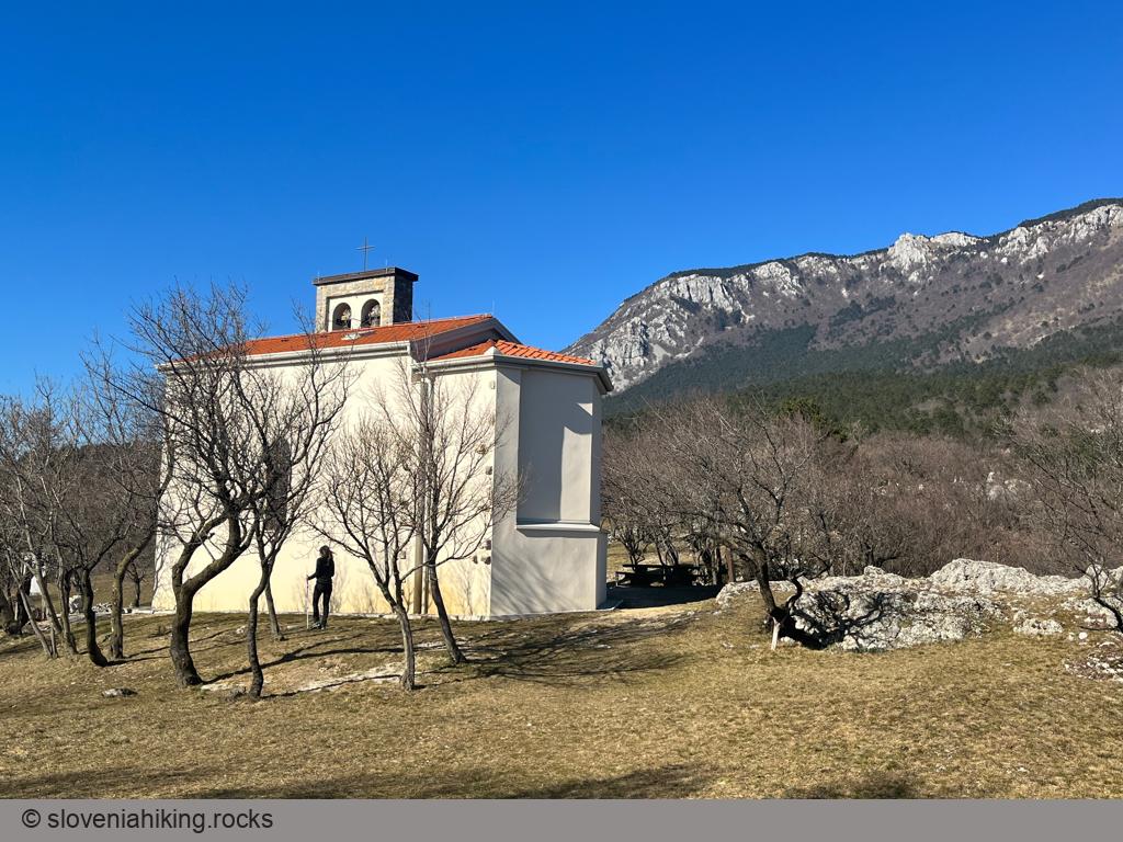
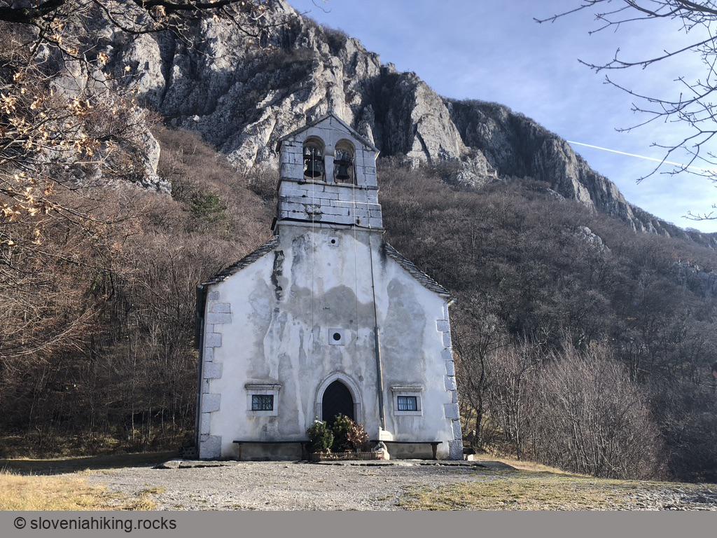
Saint Paul above Vrtovin (498 m, Δ=360 m, 2 hours)
High above Vipava Valley, on a limestone terrace jutting out of the slopes of Čaven ridge, is a tiny church dedicated to Saint Paul – a fantastic hiking destination on dry autumn or spring days.
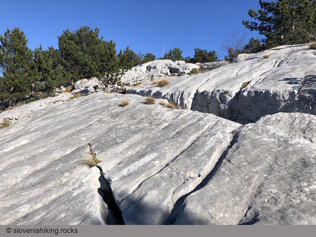
Škavnica (734 m, Δ=490 m, 3 hours)
Škavnica is a giant limestone slab in the middle of a pine forest on the west slopes of Nanos plateau. I usually hike there to admire its limestone pavement crisscrossed with deep fissures; the view of Vipava valley, Adriatic sea, and the Italian Alps is just the icing on the cake.
Slavnik and Grmada from Podgorje (1028 m, Δ=510 m, 3 hours)
The shortest routes to Slavnik lead from Podgorje, a small karst village south-west of the mountain, where you’ll find abundance of little paths and cart-tracks across Slavnik’s southern slopes.
Slavnik from Podgorje (steep path) (1028 m, Δ=510 m, 2.5 hours)
Since the overabundance of EU cohesion funds helped transform the old dirt track to Slavnik into a gravel road, I prefer to take the steeper footpath ascending directly toward the peak.
Slavnik from Prešnica (1028 m, Δ=520 m, 4 hours)
Goldilocks would love the hike from Prešnica to Slavnik. It’s not too long nor too short, it’s not too steep nor too dull, and it’s in a lovely shade, but the forest is thin enough to let some winter sunshine through.
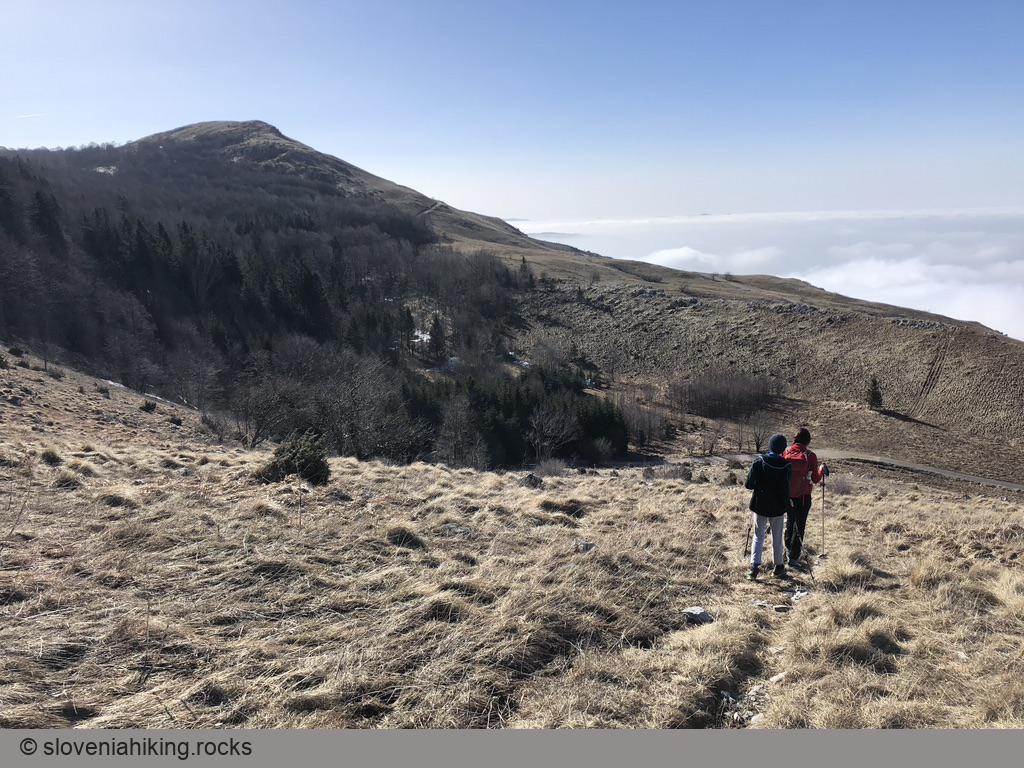
Slivnica above Lake Cerknica (1114 m, Δ=540 m, 3 hours)
Hiking or biking to Slivnica is always a pleasant experience – we love snowy meadows in the winters, summer flowers on those same meadows in the summer, or the cool shade of the beech forest while biking to the top… and then there’s the view of Lake Cerknica.
Snežnik from Sviščaki (1796 m, Δ=590 m, 4 hours)
Snežnik is the highest peak in south-western Slovenia. You could spend days wandering around huge forests surrounding it; the quickest hike to the peak starts in Sviščaki, a hamlet high above Ilirska Bistrica.
Sončnica (867 m, Δ=450 m, 2 hours)
The steep hike from Budanje to Sončnica (a prominent overhanging rocky outcrop at the edge of the Gora plateau) is an ideal opportunity to burn the few extra fat cells you were so carefully nurturing during the winter months.
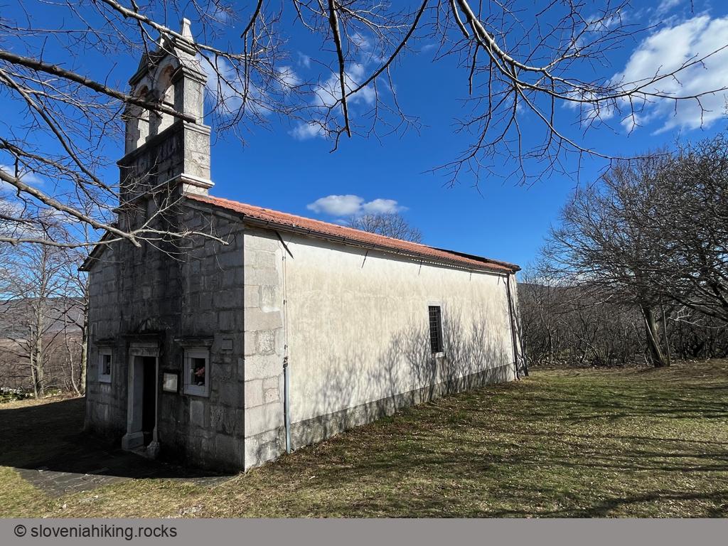
St. Ivan and Šebrelje (630 m, Δ=420 m, 3 hours)
A steep hike from Idrijca valley to the church of St. John (Sv. Ivan) brings you to the sunny Šebrelje plateau.
St. Lovrenc from Gorenje (1019 m, Δ=300 m, 2 hours)
The shortest hike to Sv. Lovrenc starts at the hunting hut above Gorenje, leading you across sunny meadows and through a steep forest.
Stara Baba above Ajdovščina (350 m, Δ=120 m, 1 hour)
Stara Baba is a fluvial terrace with a nice view of nearby Ajdovščina. It must be a popular destination for afternoon strolls as it’s crisscrossed with
unmarked footpaths – an ideal easy hike if your kids love exploring the countryside or if dad needs to show off his latest GPS gadget.
Strelovec (1763 m, Δ=1040 m, 6 hours)
Strelovec is a peak in the ridge east of Logarska Dolina (Logar Valley) with a magnificent 360-degree panorama of surrounding hills and mountains.
Sv. Lovrenc from Studeno (1019 m, Δ=420 m, 2 hours)
The steepest ascent to Sv. Lovrenc starts in Studeno, a village near Postojna. I love to take it when looking for a short but intensive morning hike after dropping the kids off at school.
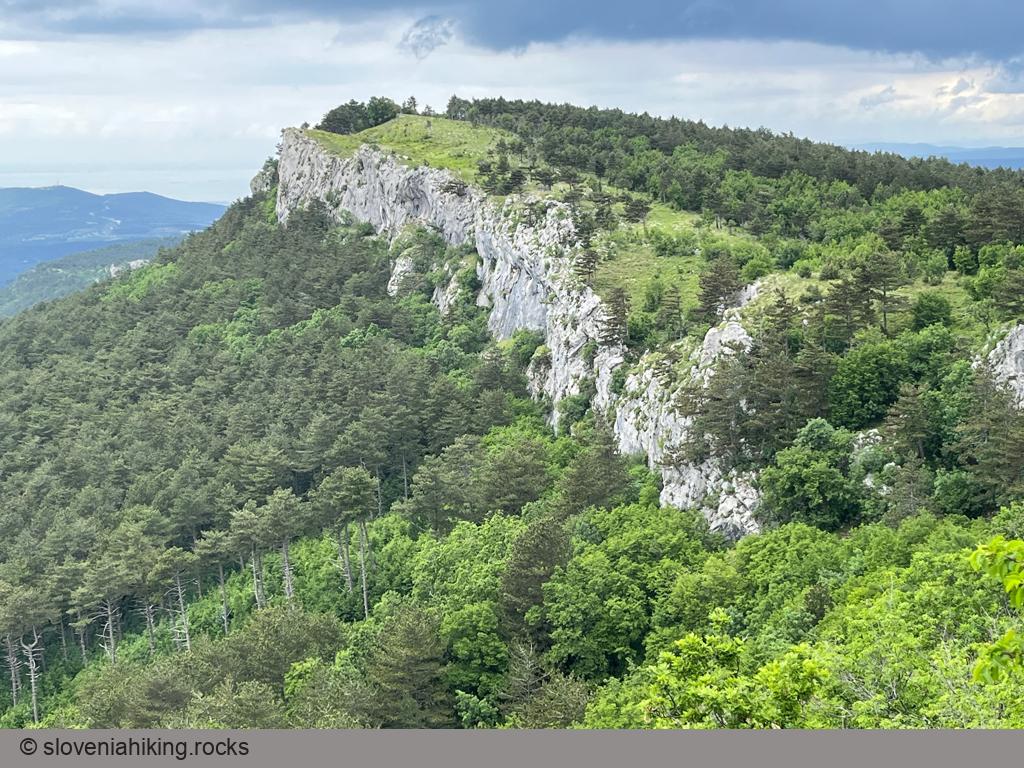
Veliki Rob from Gojače/Zasod (1236 m, Δ=1050 m, 6 hours)
Veliki Rob is one of the most prominent peaks on the edge of the Čaven plateau. Most hikers focus on nearby Kucelj, making it an exciting destination a bit off the beaten track. Marked paths to Veliki Rob are pretty circuitous if you want to start in Vipava valley, so we’ll take an extra-steep unmarked approach.
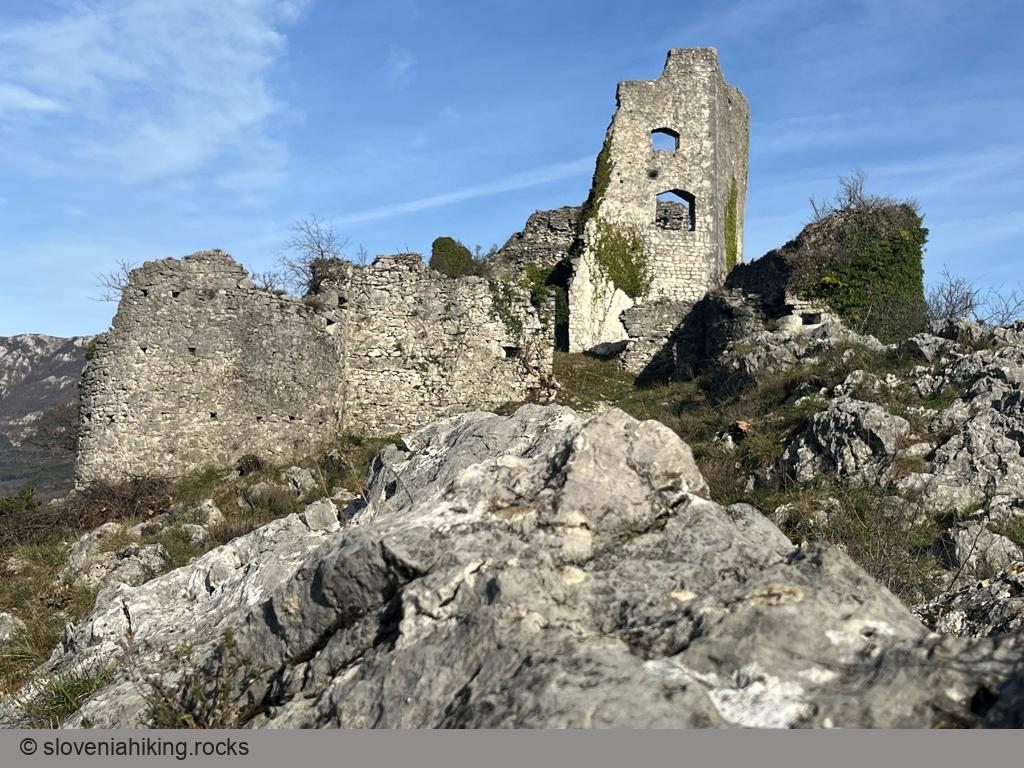
Vipava Old Castle (240 m, Δ=140 m, 1 hour)
Every self-respecting European city has a castle (or, at the very least, the castle ruins) on a nearby hill, and Vipava is no exception. Ascending to Vipava’s Old Castle is a lovely family hike worth combining with phenomenal ice cream at Bar Marjanca.
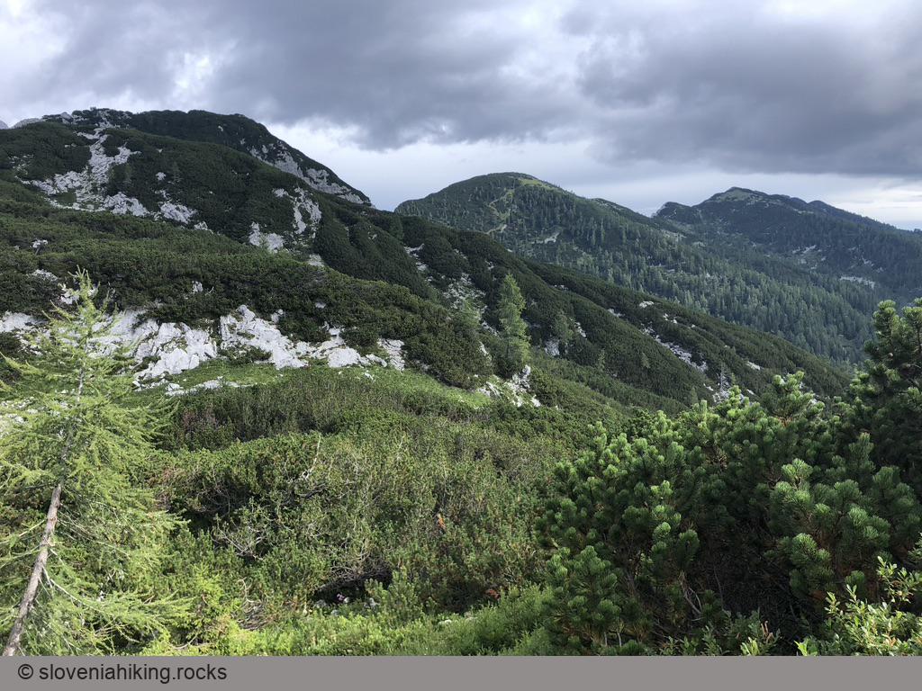
Viševnik (2050 m, Δ=700 m, 4 hours)
Viševnik is one of the highest summits in the ridge separating the Pokljuka plateau from the Krma valley, and one of the most-popular peaks above 2000m in Slovenia.
Vogel (1922 m, Δ=1000 m, 6 hours)
Vogel is certainly the best known summit of the Lower Bohinj Mountains, with a majestic view of Bohinj lake and Triglav.
Voje (773 m, Δ=280 m, 3.5 hours)
Voje is a charming glacial valley hidden behind the Mostnica Gorge with a waterfall waiting for those persistent enough to walk till the end of the valley.
Vratca above Češka koča (1802 m, Δ=800 m, 4.5 hours)
Vratca (Doors) is a prominent rock pillar above Češka koča (Czech Hut) with a great view of the surrounding mountains. The last bit of the trail is well-protected Via Ferrata through a crumbling gully – a helmet is highly recommended.
Vrtača (2181 m, Δ=1150 m, 7.5 hours)
Vrtača is one of the highest peaks on the Slovene-Austrian border. It’s a bit off the beaten trail – you’ll be able to enjoy a few quiet moments, but it takes quite a while to get there regardless of where you start.
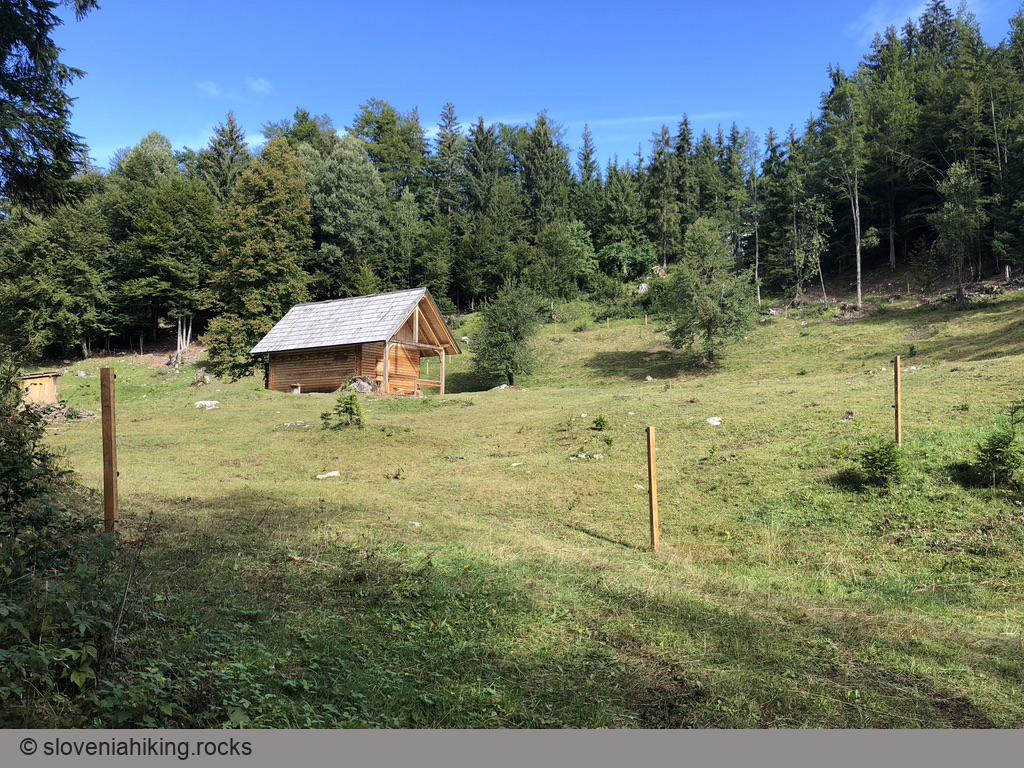
Zajavornik Alp from Hotel Pokljuka (1291 m, Δ=100 m, 2 hours)
Zajavornik is a large sunny alp in the middle of the Pokljuka plateau with a beautiful view of the ridge between Pokljuka and Krma Valley. Hiking there from Hotel Pokljuka (former Sport Hotel) takes less than an hour on a (mostly) level gravel road, making it an ideal hike with small kids.
Zelenica (1536 m, Δ=480 m, 2.5 hours)
Zelenica is an alpine pasture in a valley between Begunjščica and Vrtača. It takes a bit more than an hour to hike there from the Ljubelj pass, and there’s a mountain hut at the end of the hike – ideal ingredients for a great family trip.
Zgornji Kras and Socerb Castle (440 m, Δ=80 m, 1 hour)
When our kids were still in kindergarten, they loved hiking around the place with the Bora wind – the meadows of Zgornji Kras, a karst plateau above Trieste with beautiful views of surrounding hills and the Adriatic Sea.