Hiking in Slovenia » Vipava Valley » Veliki Rob from Gojače/Zasod
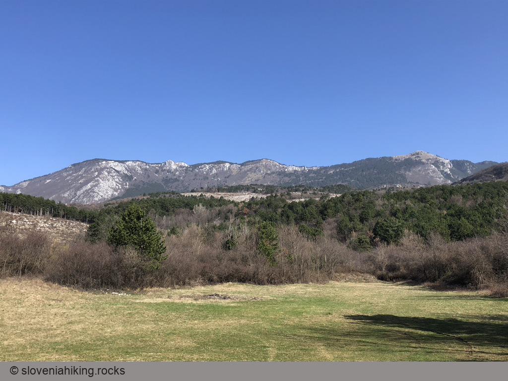
Veliki Rob is one of the most prominent peaks on the edge of the Čaven plateau. Most hikers focus on nearby Kucelj, making it an exciting destination a bit off the beaten track. Marked paths to Veliki Rob are pretty circuitous if you want to start in Vipava valley, so we’ll take an extra-steep unmarked approach.
At a Glance
- Difficulty
- Very steep hike on unmarked footpaths
- Altitude
- 1236 m
- Average time
-
Ascent: 2.5 hours
Descent: 2 hours
Total: 6 hours
- Elevation gain
- 1050 m
- Coordinates
-
Start: 45.903937,13.797679
Peak: 45.934367,13.802914
Alternate starting point
- Coordinates
- Start: 45.918867,13.805844
- Average time
- 5 h
- Elevation gain
- 670 m
Taking Unmarked Paths to Veliki Rob
Long, long time ago, in environment-friendlier times, there was an ancient cobblestone road going from Gojače to Čaven plateau. For whatever incomprehensible reason, it transmogrified into a wide gravel road leading across a humongous clearing where once you were able to delight in walking through a lovely pine forest.
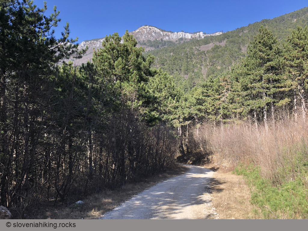
You could still start your hike at an enjoyable parking lot in Gojače (see starting point coordinates) and trudge on the gravel road following signs for Kucelj until you reach a crossroads high in the pine forest (see alternate starting point coordinates). You got it right; you won’t see a single signpost for Veliki Rob beyond the parking lot’s initial signs. You could also drive to the crossroads; you should have no problems finding a place to park on a weekday (but don’t try your luck on a sunny weekend).
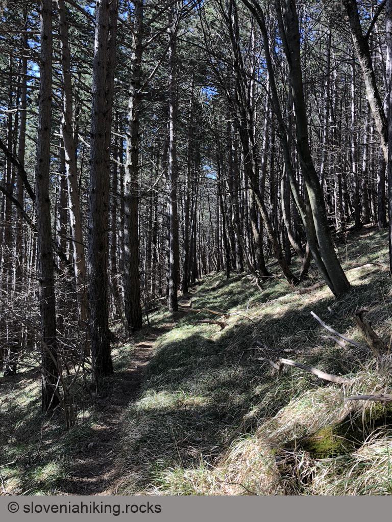
From the crossroads, take the left gravel road until you notice a narrow unmarked footpath going straight uphill through the pine forest. Follow that path, cross the gravel road (you took a shortcut), and keep going until you hit an old forester track (Bošnarska pot, sparsely marked).
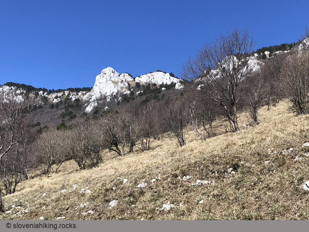
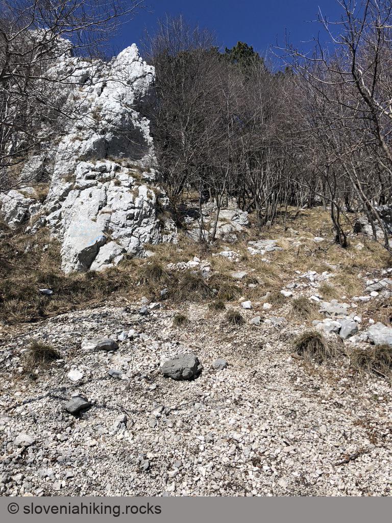
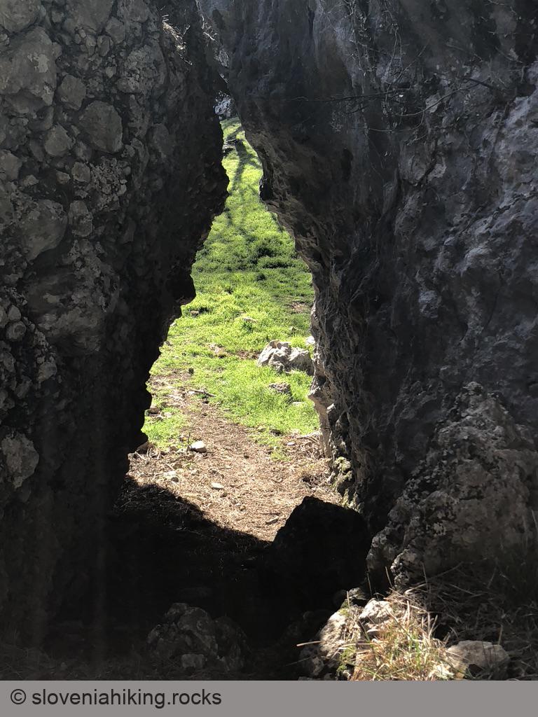
Turn left, enjoy lovely views from the steep sunny meadow you’re traversing, and keep going through the forest until you notice handwritten signs for Veliki Rob - Strma pot (steep path). Turn right and be prepared for 30 minutes of suffering – the trail (marked with blue dots) is very steep and running willy-nilly across scree, making the ascent even more “interesting.”
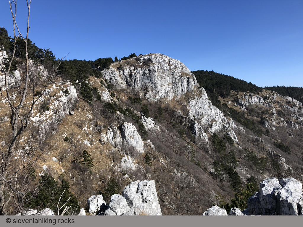
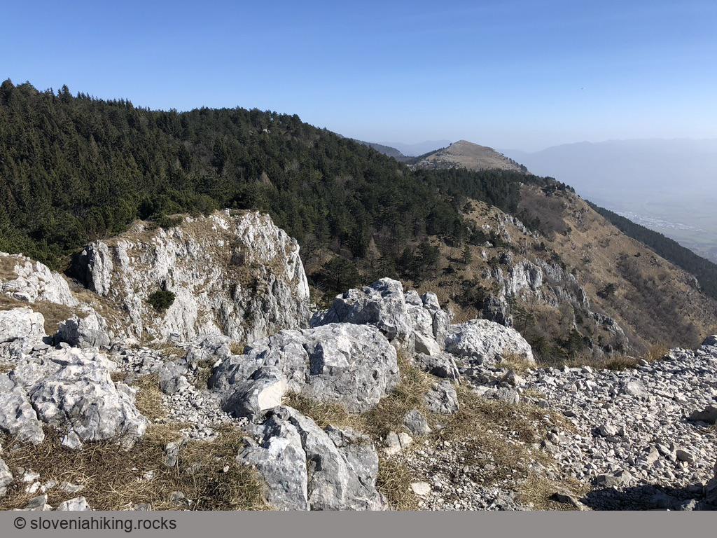
Once you reach the edge of the Čaven plateau, you’ll notice old hiking waymarks leading up and to the right. Follow them, and you’ll get to Veliki Rob in no time.

Getting Back
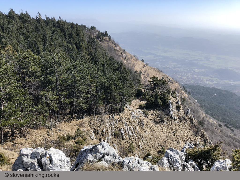
From Veliki Rob, follow the signs and waymarks toward Kucelj. Be careful: waymarks are sparse, and I almost got lost several times. Once you get to a slowly descending cobblestone road, follow it until a right hairpin turn. Leave the road, take a footpath plunging through the forest, and follow signs toward Vrtovin and later Sveti Pavel until you hit a gravel road. If you were smart and left your car at the crossroads in the forest, turn right; the gravel road will bring you straight to your vehicle.
If you were as stupid as I was and started in Gojače, you’re probably sick-and-tired of obnoxious gravel roads, so here’s an alternate path to take:
- Follow signs for Sveti Pavel or Gojače until you get to a signpost that sends you onto a sunny meadow with fantastic rocky outcrops but no exit.
- Yeah, someone misplaced that signpost. Go back to it, descend for another 100 m, and take a right (unmarked) path at the next junction. That path will bring you to the clearing I already mentioned.
- Following signs for Gojače (now for real), take a footpath going down on the left-hand edge of the clearing, turn right at the next junction, and you’ll be back on the gravel road, but way closer to the parking lot in Gojače.
