Hiking in Slovenia » Vipava Valley » Saint Paul above Vrtovin
High above Vipava Valley, on a limestone terrace jutting out of the slopes of Čaven ridge, is a tiny church dedicated to Saint Paul – a fantastic hiking destination on dry autumn or spring days.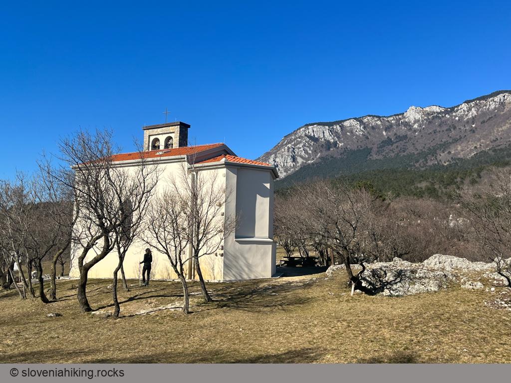
At a Glance
- Difficulty
- An occasionally steep mix of dirt trails and footpaths
- Altitude
- 498 m
- Average time
-
Ascent from Vrtovin: 1 hour
Return: 45 minutes
Total: 2 hours
- Elevation gain
- 360 m
- Coordinates
-
Start: 45.9016051,13.8146674
Peak: 45.909096,13.810788
Getting There and Back
- Park at the end of Vrtovin village, either next to the local school or at the cemetery.
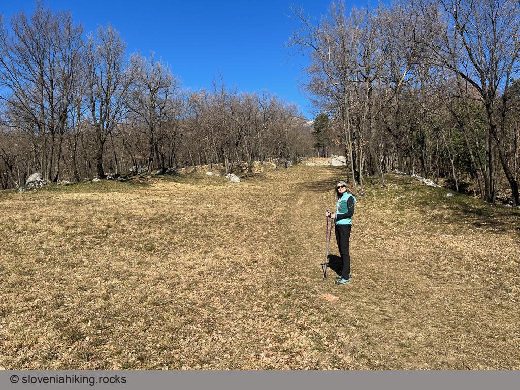
- Two paths to Saint Paul (sv. Pavel) start at the school building. Take the western one (the left one when looking at the hills).
- The signs for “sv. Pavel” will send you onto an asphalt road, footpath, and a dirt trail until you reach broad, well-maintained terraced meadows.
- Follow a barely visible footpath straight up the meadows until you return to the dirt trail. Turn left.
- Keep following red blotches and signs for “sv. Pavel” along dirt trails and footpaths until you reach a junction where the signs send you onto both forks. The right path is easier to follow.
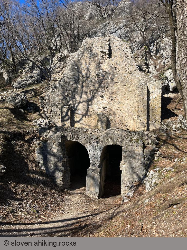
- Cross a wider trail and continue toward the remains of a Roman-era defense tower.
- A few meters beyond the defense tower ruins is another junction. The right path is so steep that someone thought it needed a steel cable to help you; the left is relatively leisurely and brings you straight to the church.
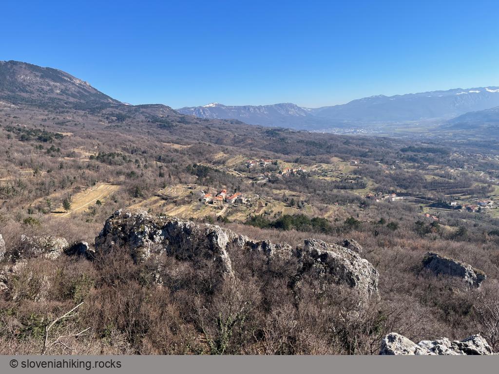
- If you take the right path, you’ll quickly get to the edge of the terrace and a lovely vista point. Take a break and enjoy the views, then follow the footpath along the terrace edge till you reach the church.
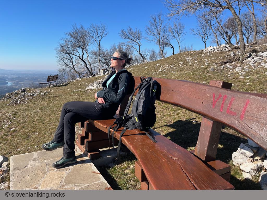
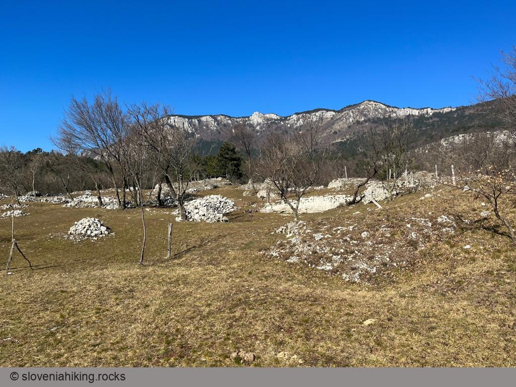
Photo Gallery
Map of the Route
The map shows the path we took as recorded by the GPS receiver. Never trust a GPS track wholeheartedly; rely on your senses and maps.