Hiking in Slovenia » Slovene Istria » Slavnik » Slavnik from Prešnica
Goldilocks would love the hike from Prešnica to Slavnik. It’s not too long nor too short, it’s not too steep nor too dull, and it’s in a lovely shade, but the forest is thin enough to let some winter sunshine through.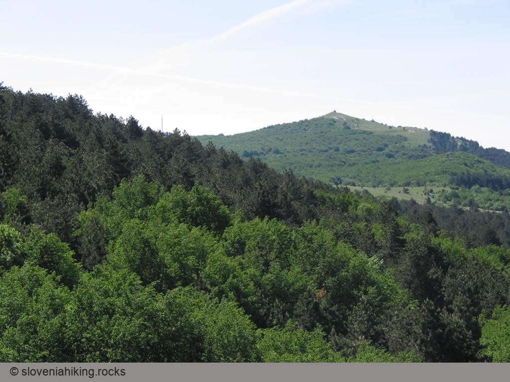
At a Glance
- Difficulty
- Easy hours-long hike on a leisurely footpath
- Altitude
- 1028 m
- Average time
-
Ascent: 2 hours
Descent: 1 hour 30 minutes
Total: 4 hours
- Elevation gain
- 520 m
- Coordinates
-
Start: 45.565763,13.941704
Peak: 45.533685,13.975236
Notes
- We’ll start the hike at a large parking lot behind Prešnica. To get there, follow the red arrows and the signs for Slavnik along the main road through Prešnica, then turn right at the Parking sign.
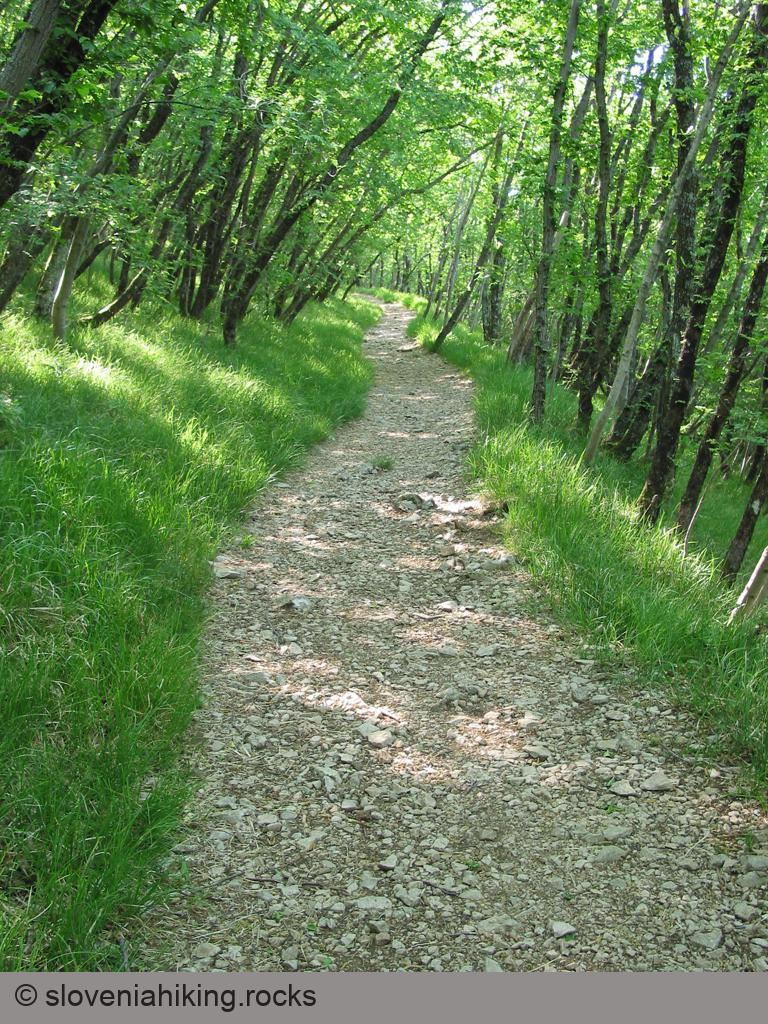
- Follow the red signs for Slavnik along the asphalt road, under the railway, onto a gravel road, and finally onto a footpath disappearing into the forest.
- The waymarks will safely guide you along the path. Stop at a halfway vista point (razgled) with phenomenal views of Slovenian Istria.
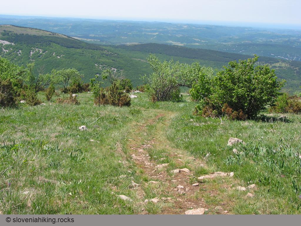
- When you reach the first gravel road, cross it and continue on a dirt trail. Stay on that trail until it ends at a gravel road at the start of expansive meadows just below the peak.
- Turn left onto the gravel road, and as soon as you spot the radio tower and the mountain hut directly ahead, take any trail leading there.
- Enjoy the views!
Years ago, I made a mistake and decided to return via Podgorje. The descent to Podgorje was fun; after that, I was “blessed” with an hour of slogging along a gravel road. Never again.

Map of the Route
The map shows the path we took as recorded by the GPS receiver. Never trust a GPS track wholeheartedly; rely on your senses and maps.