Hiking in Slovenia » Slovene Istria » Karst Edge: Around Črni Kal
We love exploring paths around the Karst Edge from Črni Kal to Zazid, and it’s even more fun if they happen to be unmarked. This time we’ll do an easy hike along old dirt roads – an ideal family weekend trip.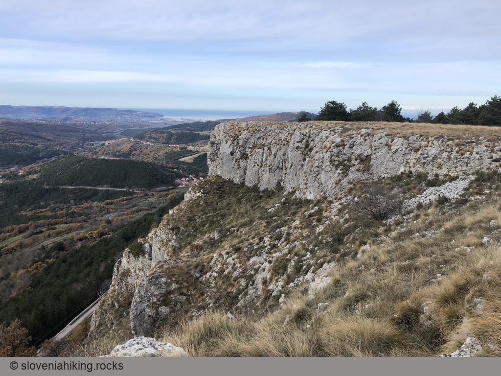
At a Glance
- Difficulty
- Easy hike with wondeful vistas
- Altitude
- 420 m
- Average time
- 2 h
- Elevation gain
- 210 m
- Coordinates
-
Start: 45.549954,13.880922
Peak: 45.54080,13.89606
Notes
- Črni Kal is well-known for its climbing area, and there are two parking lots the climbers usually use. We’ll stop at the lower one – turn into the narrow streets of Črni Kal village from the main road, and follow the signs for climbing/parking.
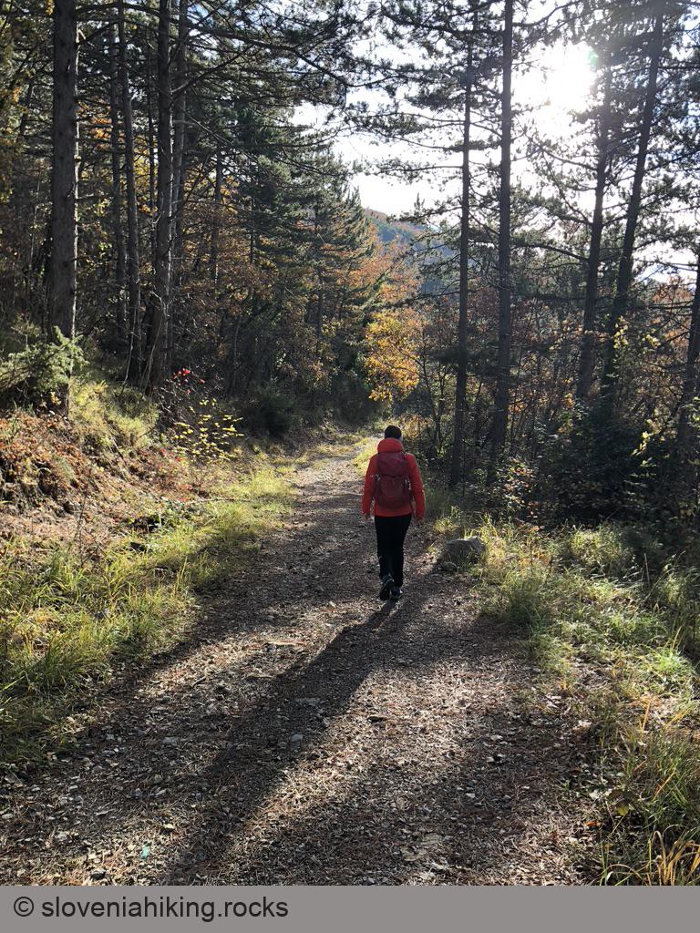
- Follow the dirt road that starts just above the parking lot. Keep to the right/slightly downwards until you reach the somewhat wider rocky trail ascending from Loka village (clearly visible far below).
- Cross the railroad (tunnel), then turn left onto a gravel road.
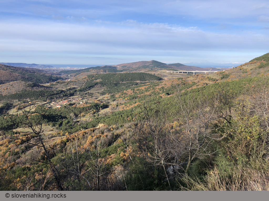
- The gravel road will bring you to a T-junction with a road going from Podpeč toward Praproče. You could turn right and make a long trip through Podpeč (see: Praproče from Rižana Valley). We decided to turn left.
- The gravel road will bring you to a gap in the rocky barrier (Karst Edge). Just after that, turn left onto a marked footpath.
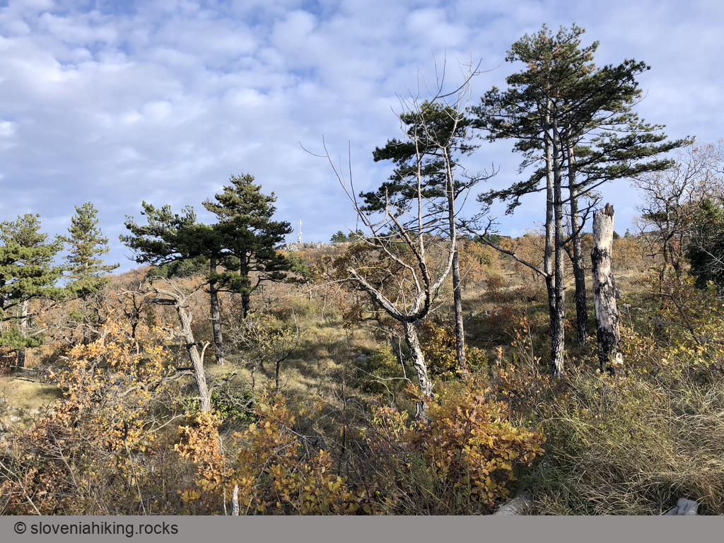
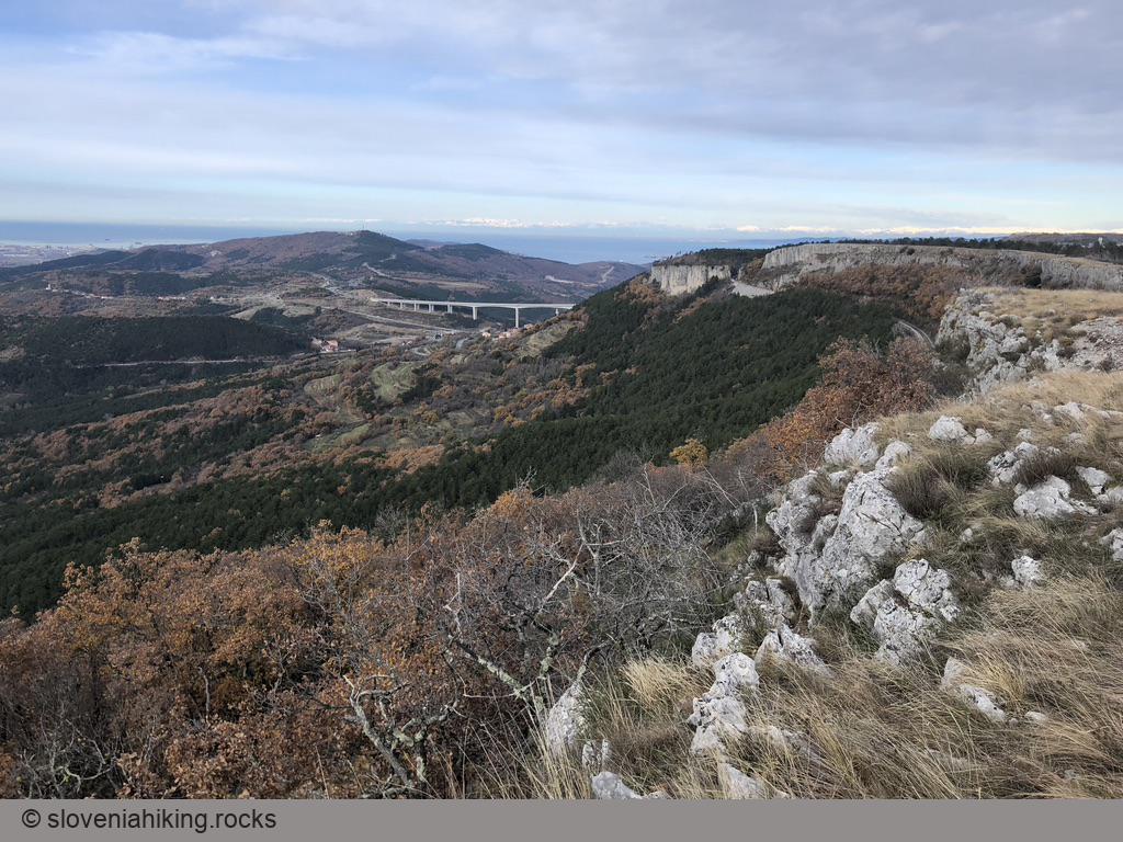
- Follow the footpath along the edge of a meadow with beautiful Karst Edge and Adriatic sea vistas until you reach the red signs at the edge of a pine forest.
- If you have time, keep right - the path will bring you to the ancient ruins of Črni Kal castle and end on a gravel road going through another parking lot. Turn left, and you’ll reach your car in less than five minutes.
- We decided to turn left onto a short steep descent that ends at the railroad (no tunnel this time, be careful). Follow it for a few meters (going right) toward the edge of the climbing area.
- Once you reach the bottom of the climbing area, turn left onto a narrow footpath that will bring you back to the parking lot.
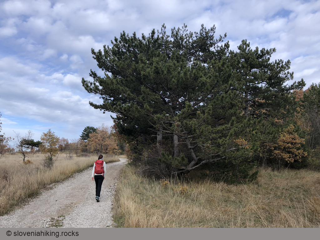
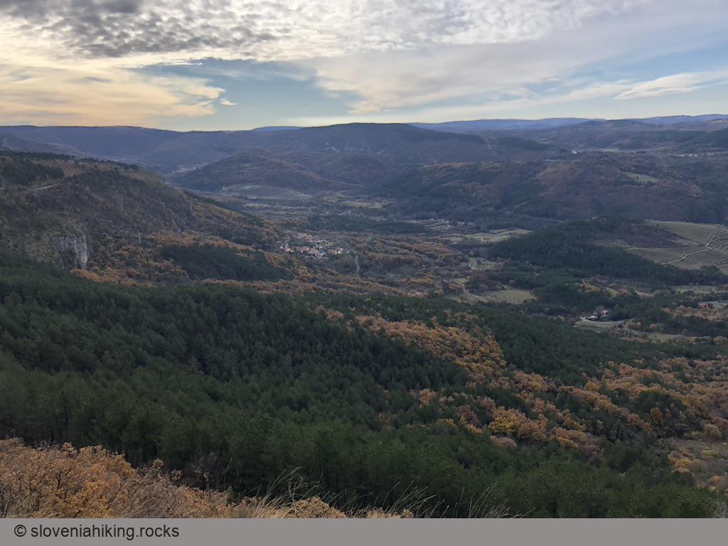
Photo Gallery
Map of the Route
The map shows the path we took as recorded by the GPS receiver. Never trust a GPS track wholeheartedly; rely on your senses and maps.