Biking in Slovenia » Slovene Istria » Karst Edge and Praproče from Rižana Valley
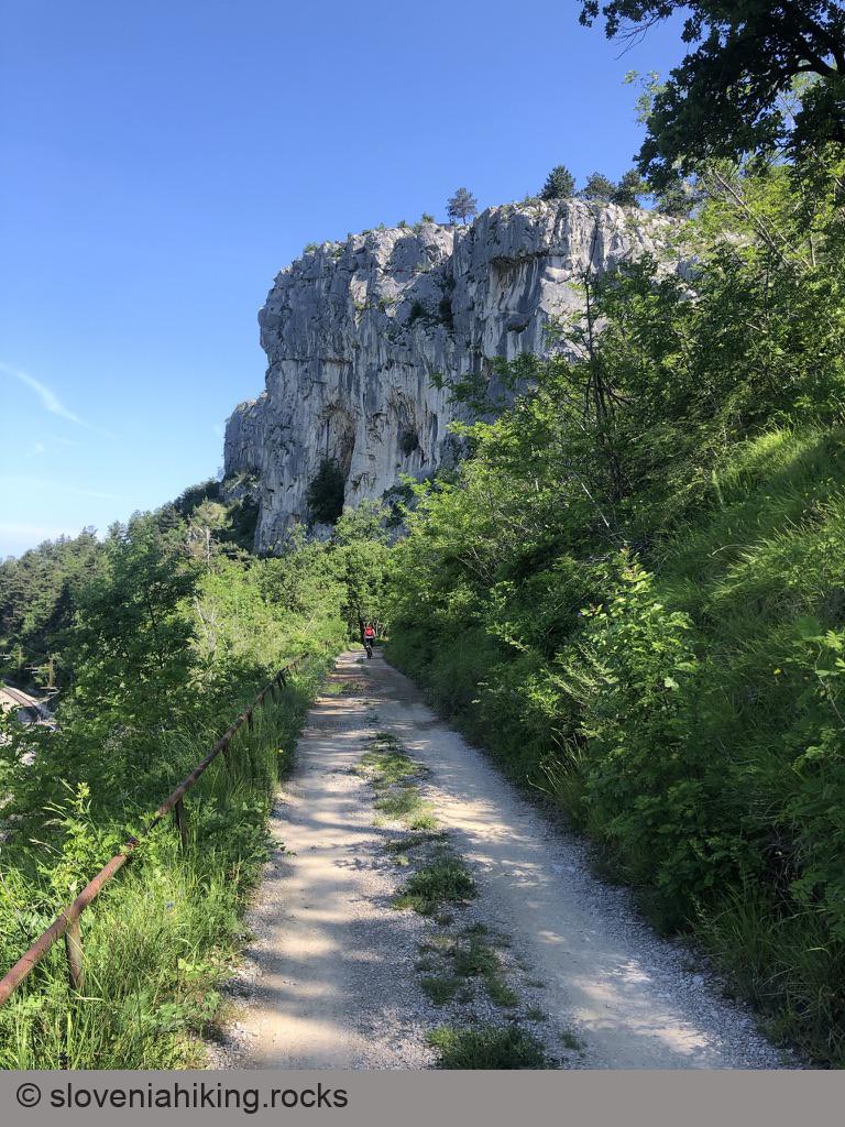
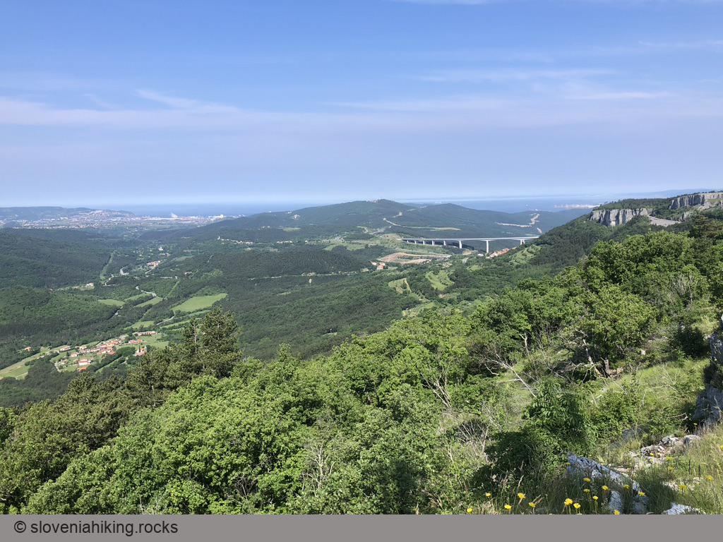
Hordes of tourists visiting the famous church in Hrastovlje might spend a few seconds admiring the rocky cliffs high above the village. We’ll explore them, and the lovely meadows north of the Karst Edge.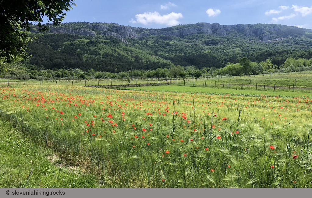
At a Glance
- Difficulty
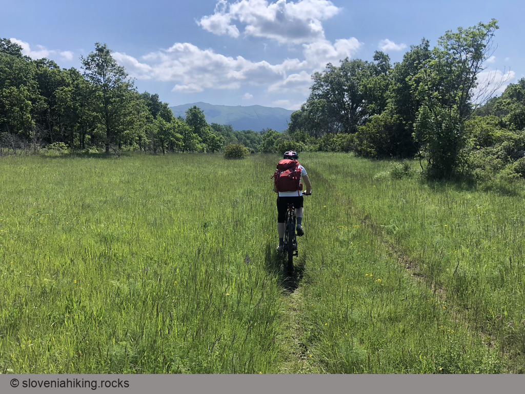
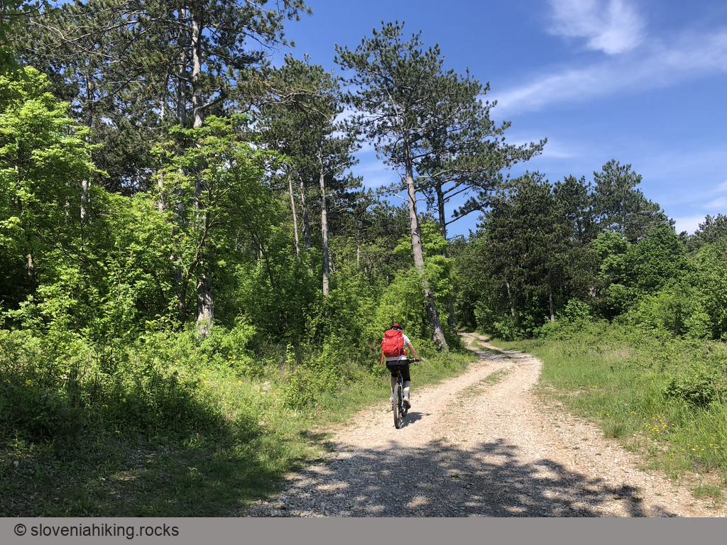
- Steep mix of asphalt and gravel roads with an optional overgrown dirt track.
- Altitude
- 450 m
- Average time
- 2.5 h
- Elevation gain
- 450 m
- Distance
- 14.8 km
- Coordinates
-
Start: 45.523654,13.889561
Notes
- Park next to the road toward Hrastovlje – there’s a small parking lot on the right-hand side.
- For a much shorter version (skipping most of asphalt roads and the steep parts), start in Podpeč. Park at the small parking lot right after the village and nowhere else.
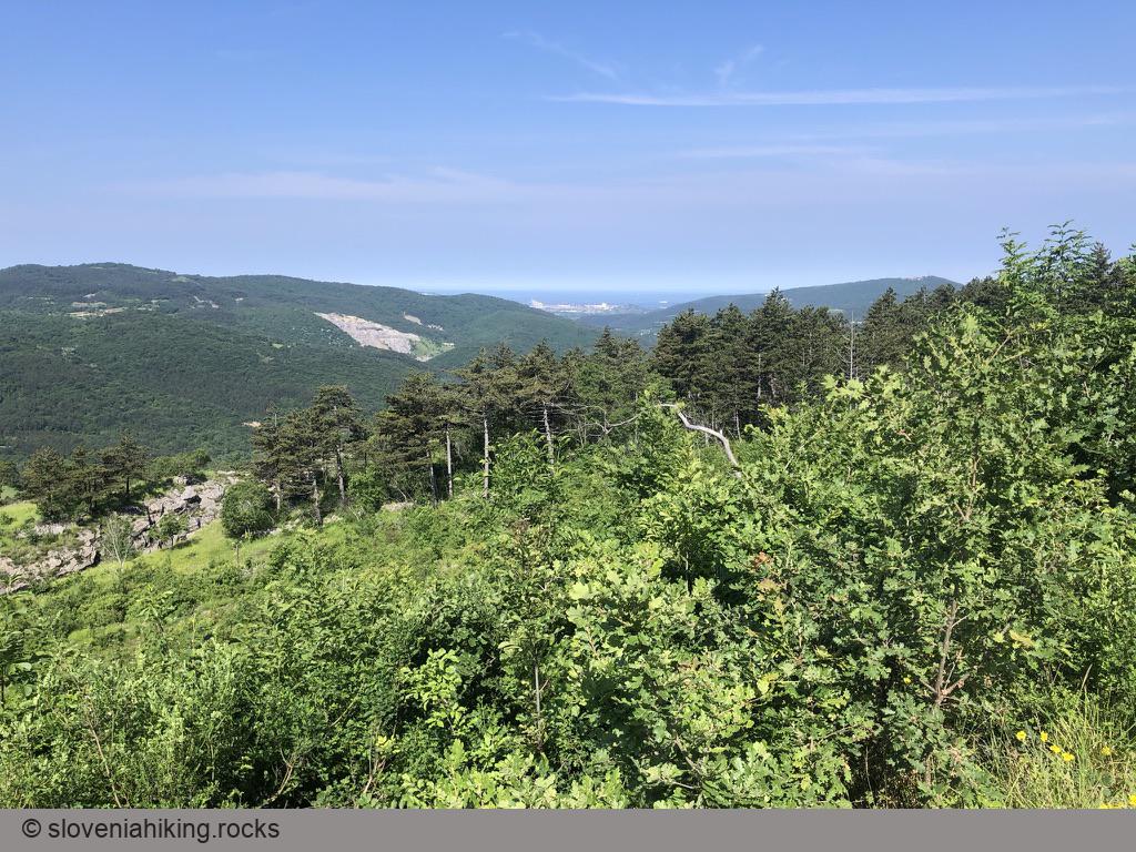
- You might want to turn around at the radio tower on the Karst Edge, or you could explore the nearby dirt tracks like we did (eventually arriving to Praproče).
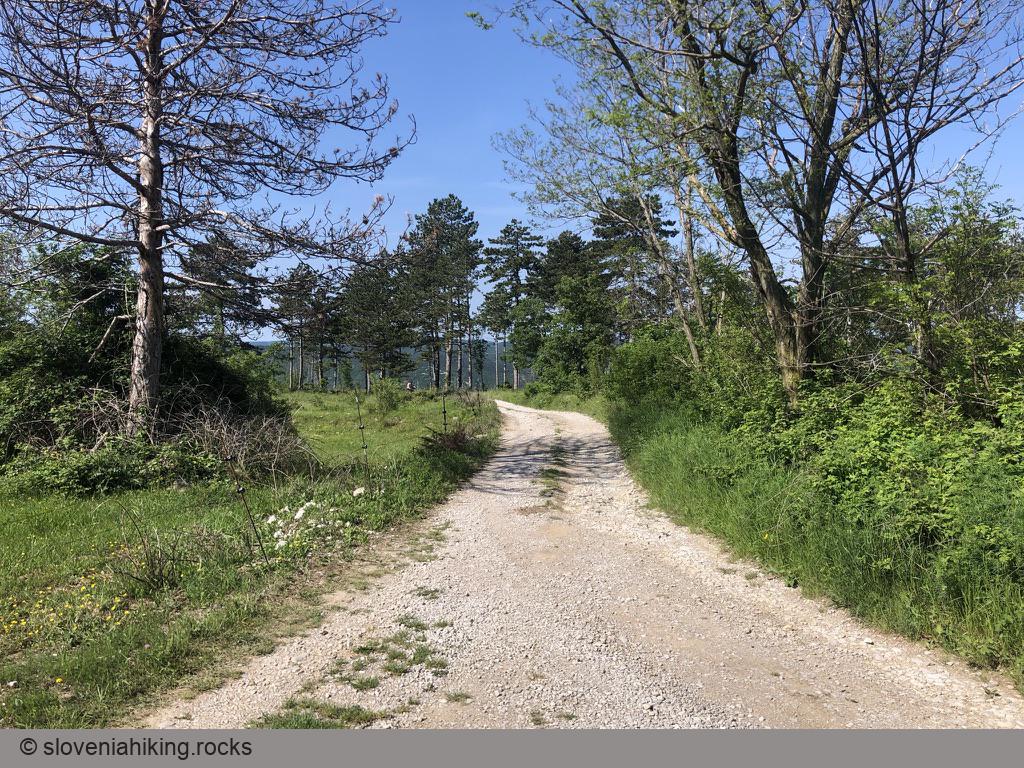
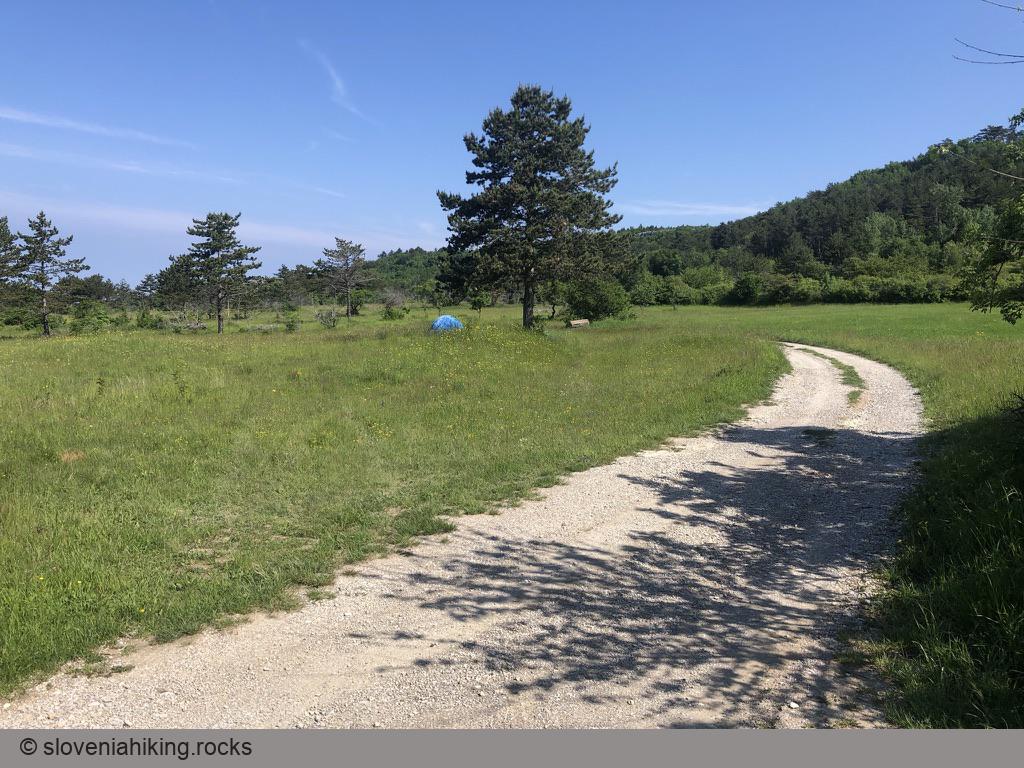
- There are numerous dirt tracks descending from Karst Edge toward Podpeč and Rižana valley. We explored only one of them at the very end of the journey. Do better.
Worth Visiting
- Don’t skip the Podpeč Castle or the medieval church in Hrastovlje.
- If you decided to explore the dirt tracks, visit the tiny church of Marija Snežna (St Mary of the Snows) – marked Gradišče (467 m) on the map.
Map of the Route
The map shows the path we took as recorded by the GPS receiver. Never trust a GPS track wholeheartedly; rely on your senses and maps.