Hiking in Slovenia » Slovene Istria » From Osp to Socerb
Socerb is a castle above the steep cliffs of Karst Edge with a beautiful view of the Bay of Trieste. You can get there by car (the castle restaurant has excellent food), but it’s more fun to hike there from Osp, a village better known for its extensive climbing areas.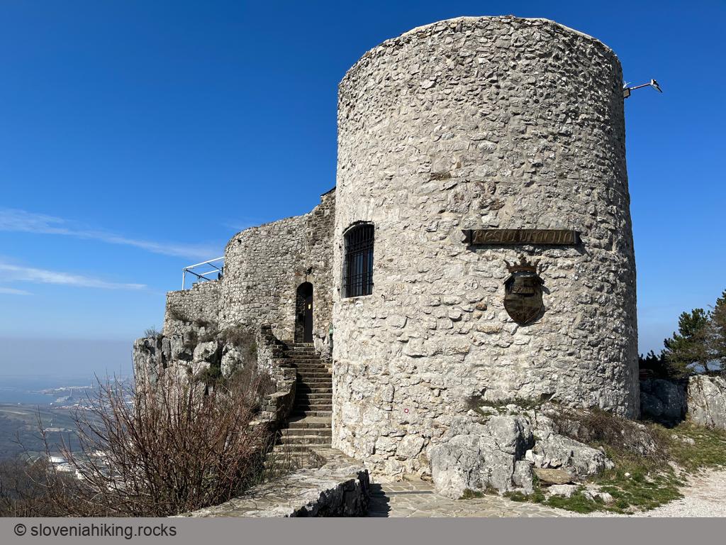
At a Glance
- Altitude
- 437 m
- Average time
-
Ascent via Prebeneg: 1 hour 15 minutes
Descent via Kastelec: 45 minutes
Total: 2 hours
- Elevation gain
- 420 m
- Coordinates
-
Start: 45.567197,13.862369
Peak: 45.589477,13.860844
From Osp to Socerb
- Parking in Osp Valley became Mission Impossible after obnoxious climbers triggered a series of spats with the locals. The only place to leave your car is the car park underneath the Mišja Peč climbing area.
- Follow the asphalt road into the village and ascend through narrow streets toward the church, where you should be able to spot the first waymarks.
- The waymarks lead you onto a dirt trail. Follow signs for Socerb.
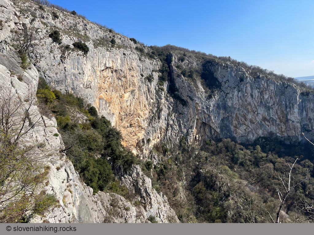
- After crossing a (usually dry) gully, the waymarks send you right onto a steep trail that brings you close to Prebeneg, a village at the Slovenian-Italian border.
- The path becomes even steeper as it tries to stay on the Slovenian side of the border and ends in a maze of tiny trails. I found no waymarks; a recent forest fire probably destroyed them. No worries – eventually, you’ll end up on a dirt trail going right that brings you to the asphalt road under Socerb.
- Follow the waymarks through the village onto another trail leading to the castle. Enjoy the views!
Getting Back
Want to take a different path to return to Osp? Let’s visit Kastelec:
- Walk on the asphalt road until you find the first hiking signpost.
- Follow the path toward Podpeč onto a dirt trail, footpath, and gravel road.
- When you get to the sign for Kastelec/Osp, follow it onto a quickly descending dirt trail.
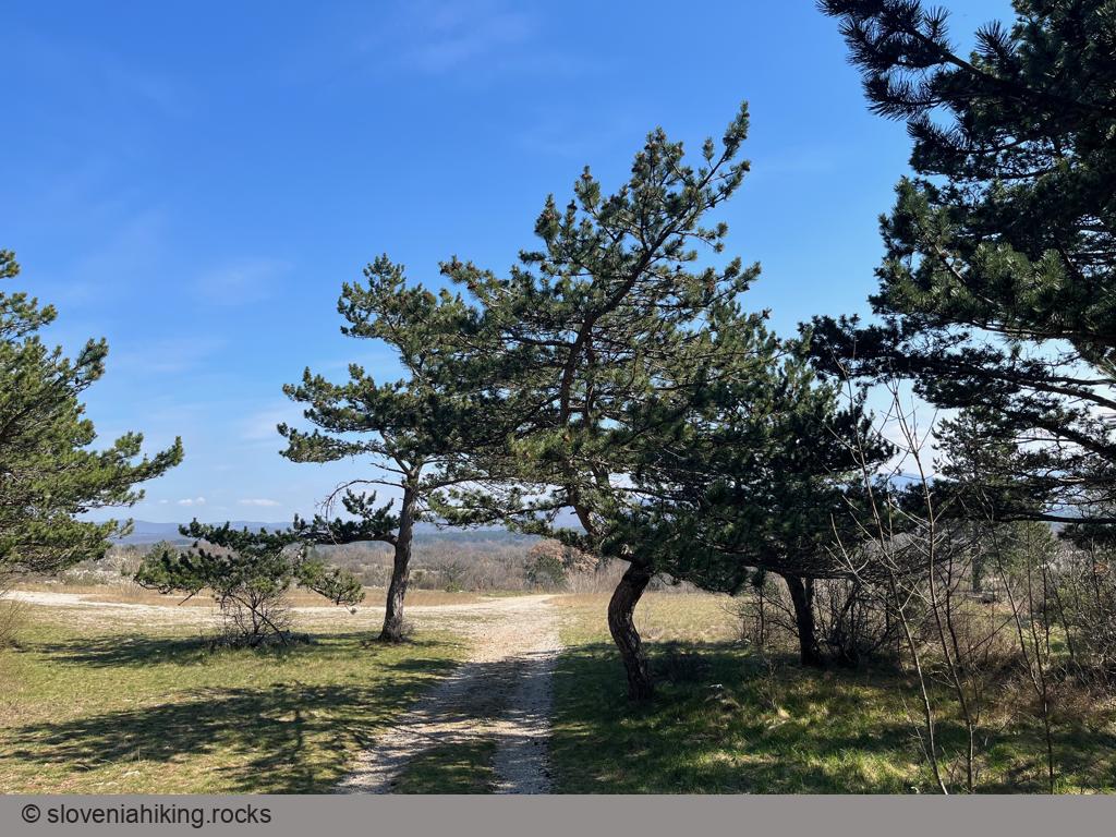
- Cross the village and the asphalt road, and continue on a dirt road going south (toward open Karst meadows).
- The next junction is the only place where I managed to get lost. The arrows are ambiguous; the correct choice was the less-used trail going slightly right.
- The path becomes almost invisible around a pine tree strip. Keep going straight (small cairns will help you) until you reach the meadow’s edge, where the path down into the Osp Valley becomes impossible to miss.
- The rocky footpath eventually brings you to the dirt road you used a few hours earlier. Turn left to get back to Osp.
Photo Gallery

Map of the Route
The map shows the path we took as recorded by the GPS receiver. Never trust a GPS track wholeheartedly; rely on your senses and maps.