Hiking in Slovenia » Slovene Istria » Zgornji Kras and Socerb Castle
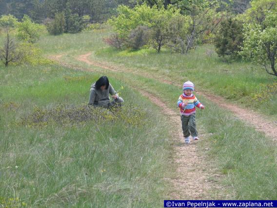
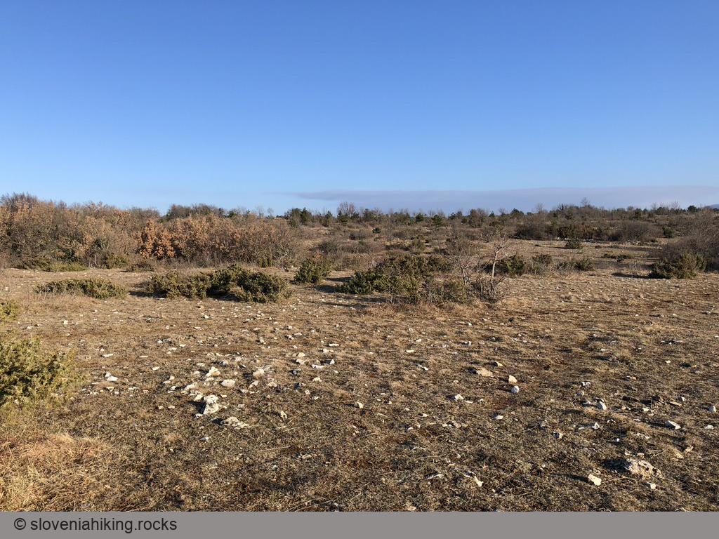
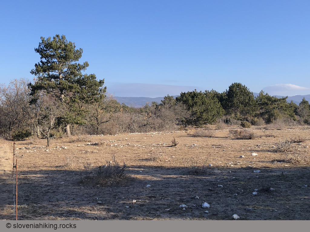
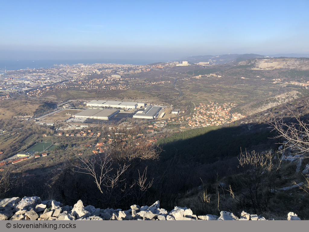
When our kids were still in kindergarten, they loved hiking around the place with the Bora wind – the meadows of Zgornji Kras, a karst plateau above Trieste with beautiful views of surrounding hills and the Adriatic Sea.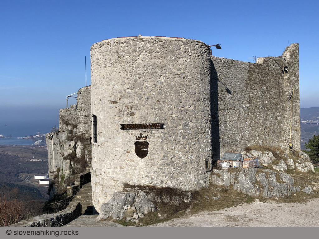
At a Glance
- Difficulty
- An easy stroll on gravel- and dirt roads and trails
- Altitude
- 440 m
- Average time
- 1 h
- Elevation gain
- 80 m
- Coordinates
-
Start: 45.588664,13.866753
Peak: 45.601636,13.875859
Drive toward Socerb Castle and park at a sharp left turn (there’s plenty of space at the start of a gravel road). Follow the gravel road, take a left turn whenever you feel like it, and you’ll eventually get to the Socerb castle and back to your car.
Need more instructions? Here they are:
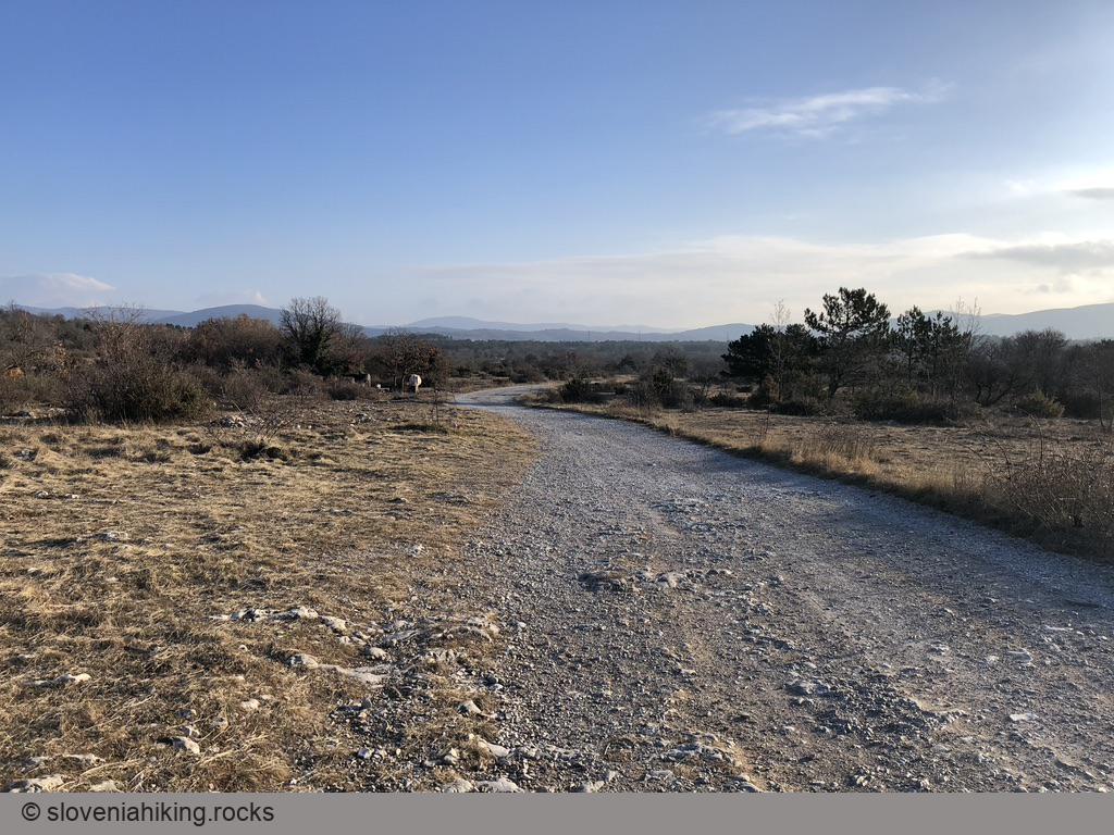
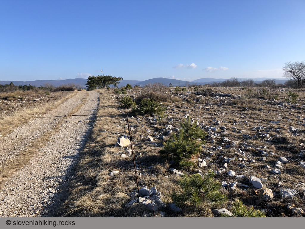
- Start hiking on the gravel road.
- Take a left turn, following the blue (biking) signs.
- Leave the biking signs and turn left onto a narrower dirt trail at the next fork.
- When the dirt trail reaches the next gravel road, you’ll be somewhere close to the halfway point. If you’re hiking with small kids, you might want to take a break for a short snack.
- We usually turned left and followed the gravel road toward the castle; you can also go straight until you reach the plateau’s edge and the marked Alpe Adria trail.
- Turn left. Follow the hiking (red) signs back to the gravel road and then onto a narrower dirt trail that brings you straight to the Socerb Castle.
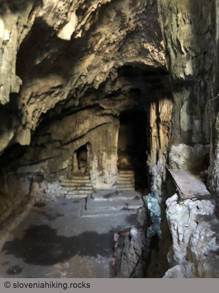
- You could take the asphalt road to get back to the car, but it’s much better to follow the waymarks and visit Sveta Jama – a tiny church in a cave.
Photo Gallery
Map of the Route
The map shows the path we took as recorded by the GPS receiver. Never trust a GPS track wholeheartedly; rely on your senses and maps.