Hiking in Slovenia » Julian Alps » Kota 1313 (Veliki Rob)
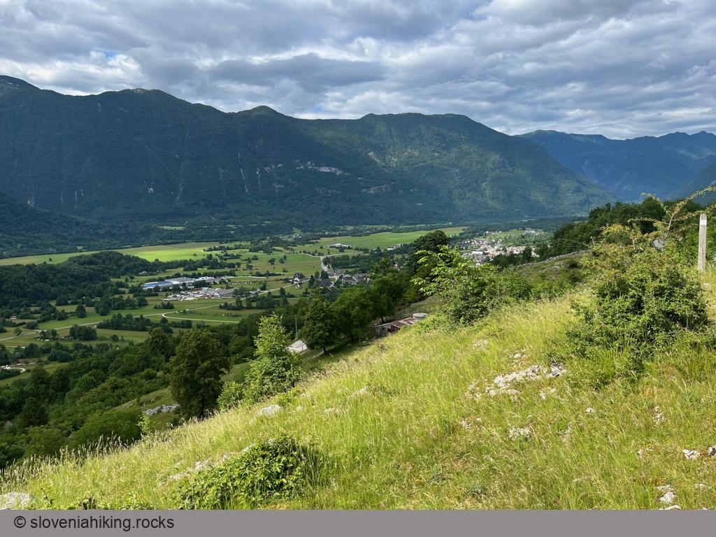
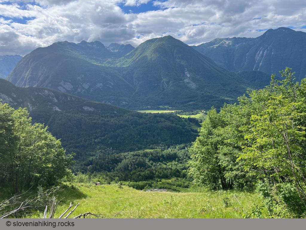
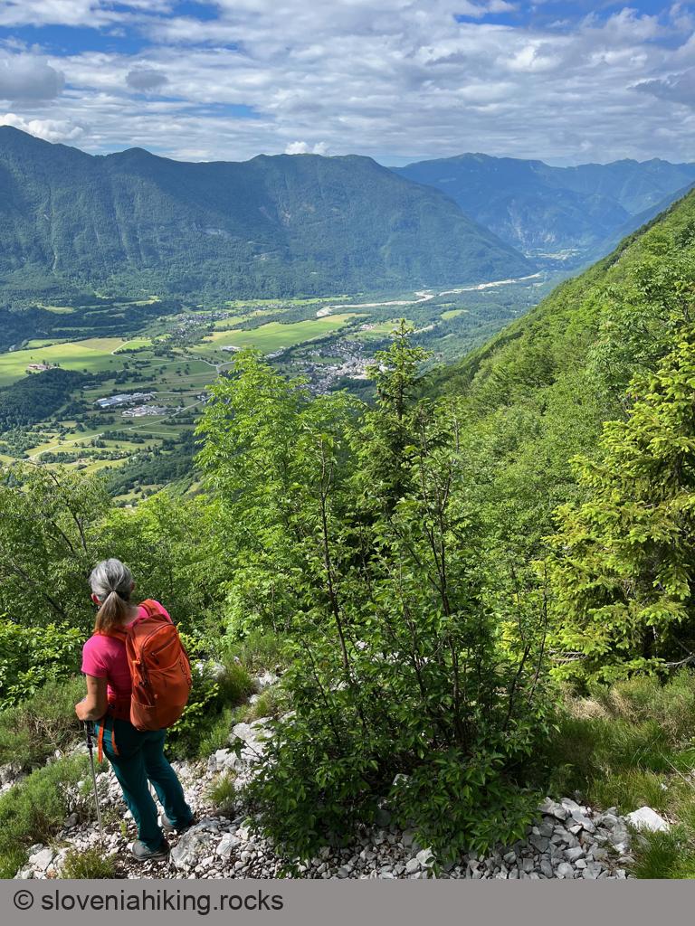
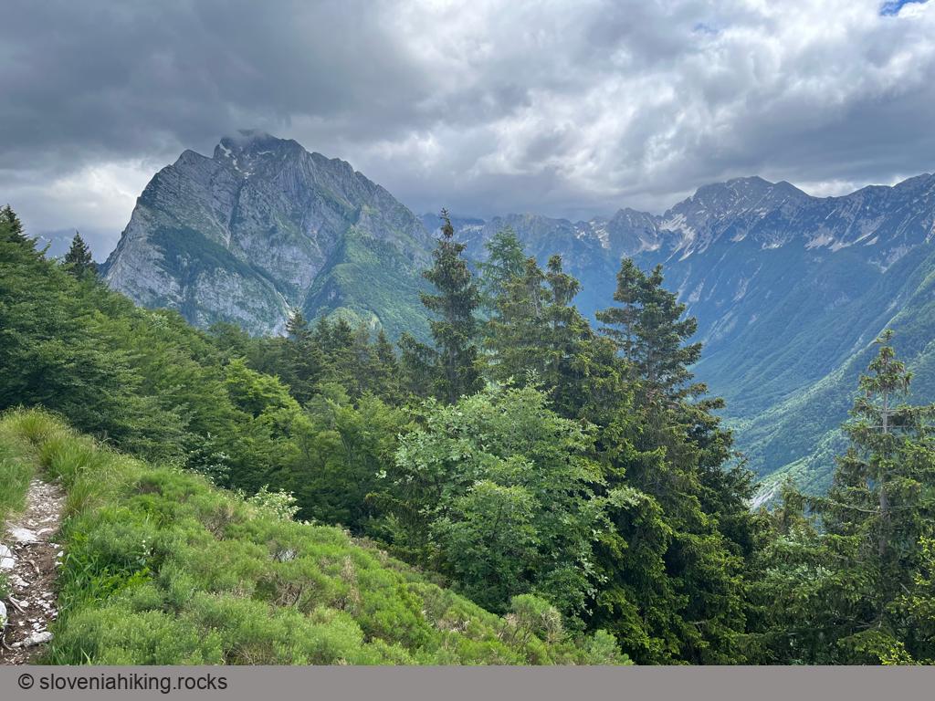
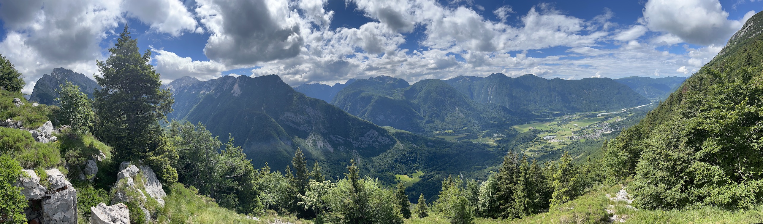
Kota 1313 (Peak 1313) is a First World War Austrian artillery observation point high above Koritnica Valley with a fantastic view of Bovec and surrounding mountains. The easiest way to get there is via the waymarked path to Rombon (starting at Kluže fortress); start in Bovec if you’re looking for a less-crowded approach.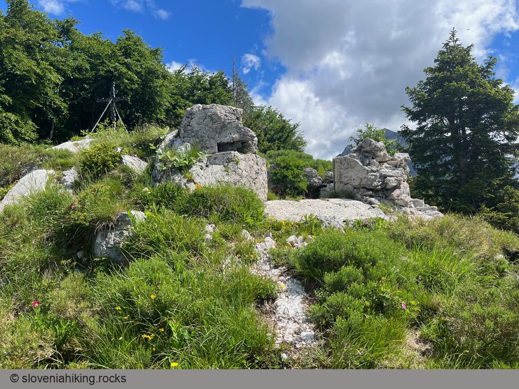
At a Glance
- Difficulty
- Steep hike on old footpaths
- Altitude
- 1313 m
- Average time
-
Ascent: 2.5 hours
Descent: 2 hours
Total: 5 hours
- Elevation gain
- 920 m
- Coordinates
-
Start: 46.338051,13.552414
Peak: 46.360626,13.575193
In a Nutshell
- We were staying at House Natura above Bovec; our hike was thus a bit shorter than yours1. Follow the Plajer- or Historic (Zgodovinska) Trail from the center of Bovec toward the Plajer homestead high above the valley.
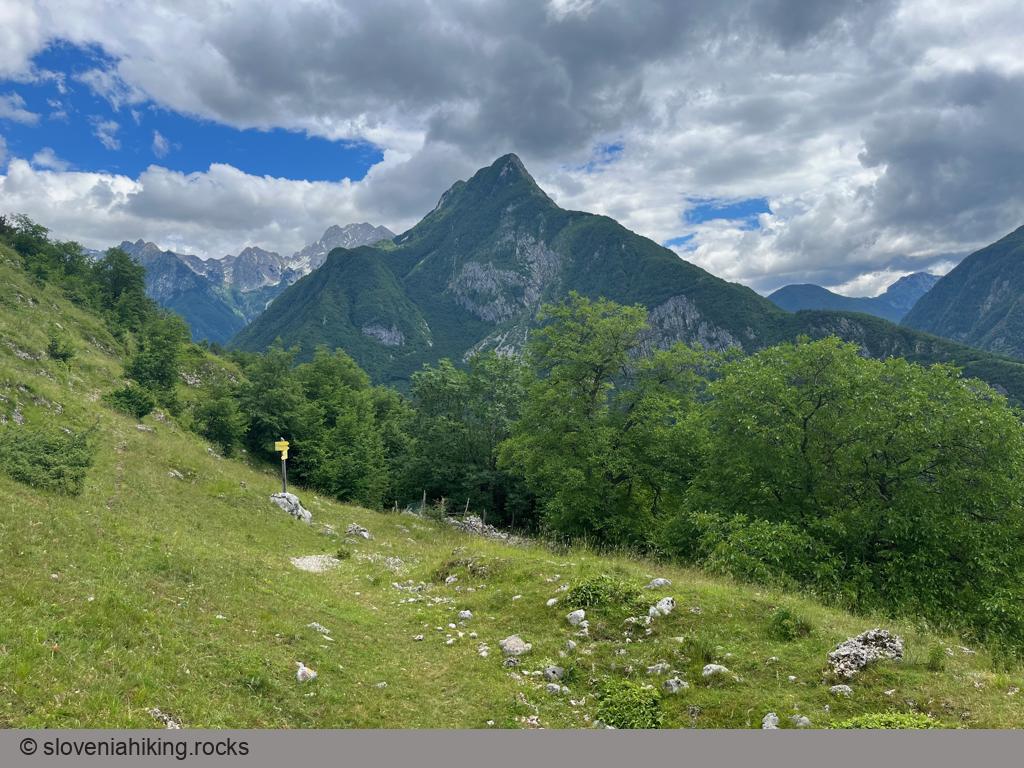
- From the Plajer homestead, follow the Historic Trail toward Fort Hermann. After passing Široki Plaz (massive scree with remains of snow avalanches), look for an unmarked footpath going left. You’ll find a decrepit sign for Kluže and the “1313” text with a left arrow carved into a tree at the junction.
The direct footpath toward Kota 1313 is rarely used; following it requires decent pathfinding skills. Its position on OpenStreetMap is fairly precise, but don’t forget to download the map in advance; mobile coverage is spotty.
- The footpath winds across the steep slopes; it took us approximately an hour to get to Kota 1313.
- Take a break and enjoy the view ;)
We decided to return via the waymarked path Kluže-Rombon:
- Follow a footpath going north until you hit the wide trail to Rombon.
- Turn right and descend toward Kluže until the junction with the History (Zgodovinska) Trail. Turn right (direction Bovec/Široki Plaz).
- After passing Široki Plaz, follow the Plajer Trail toward Bovec or descend back to the Plajer homestead (like we did) and return to Bovec via the Plajer- or the Historic Trail.
-
That also explains why some of the GPX track is missing ;) ↩︎
Photo Gallery
View from the Top
Map of the Route
The map shows the path we took as recorded by the GPS receiver. Never trust a GPS track wholeheartedly; rely on your senses and maps.