Hiking in Slovenia » Julian Alps » Krnica Alp (Planina Krnica)
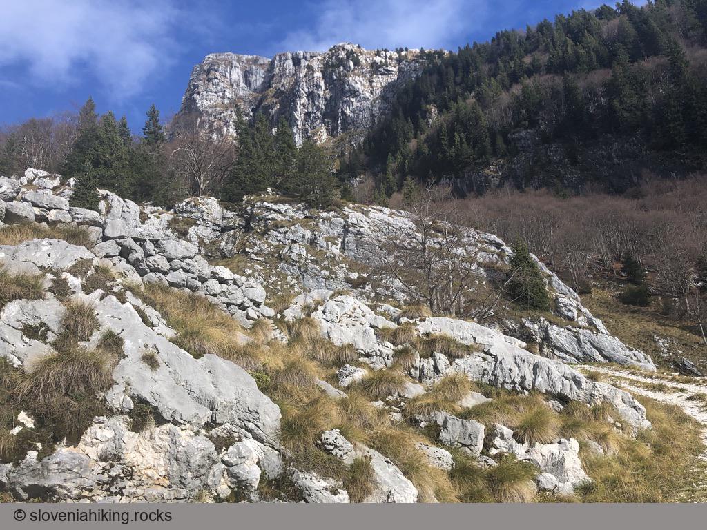
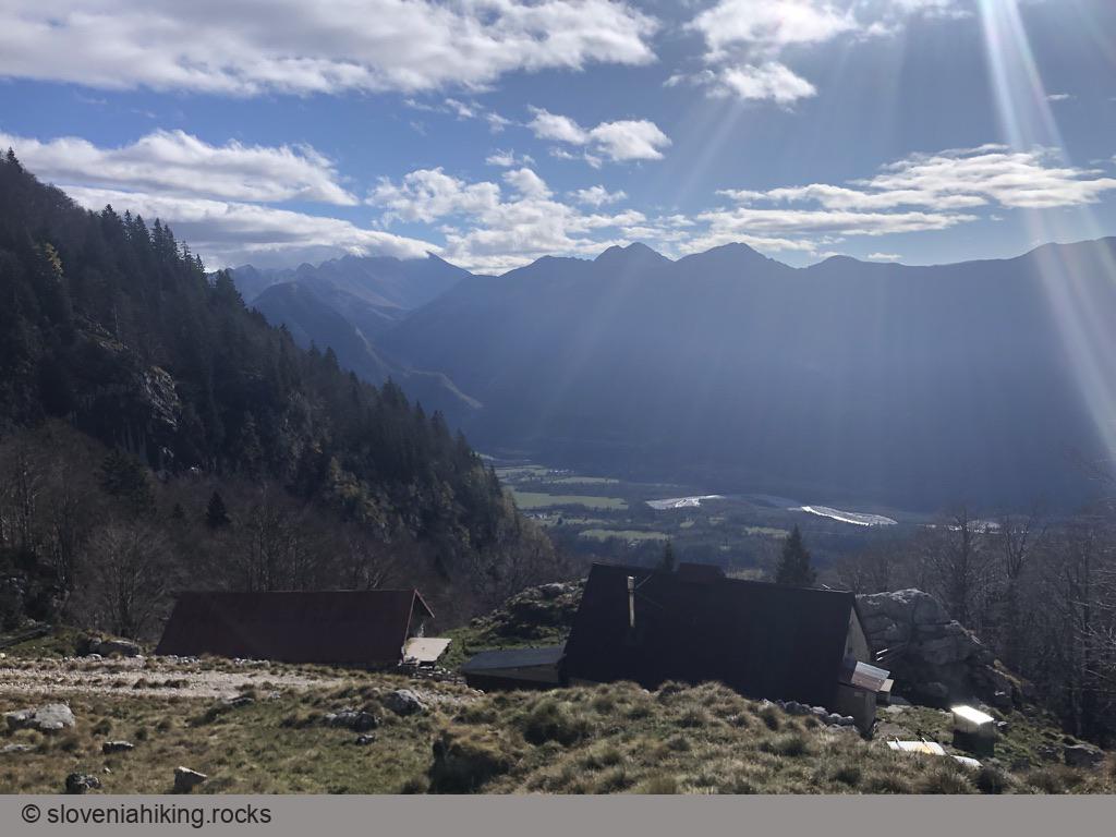
Planina Krnica (Krnica Alp) is a rocky alp high on the southern slopes of Kanin massif with a wonderful view of the peaks across the Soča valley. If you’re stubborn enough you can get there by road; if you love long hikes start in Bovec. We decided for an interim approach.At a Glance
- Difficulty
- Easy hike with a few steep sections
- Altitude
- 1252 m
- Average time
-
Ascent: 2 hours
Descent: 1 hour 30 minutes
Total: 4 hours
- Elevation gain
- 650 m
- Coordinates
-
Start: 46.342565,13.516039
Peak: 46.352437, 13.508516
Notes
- Drive by Kaninska Vas toward Postaja B (Station B) of Kanin cable car.
- After a few kilometers you’ll notice a cluster of yellow signs marking Kanin mule trail, one of them pointing toward “Planina Krnica / Postaja B”. There are plenty of parking opportunities next to those signs.
- Follow the signs for “Planina Krnica” or “Postaja B” onto a gravel road that eventually merges with the marked path from Bovec.
- Follow the waymarks along an ever-narrower trail that almost disappears when it ascends along an imposing rock face.
- After the steep ascent you’ll reach a fork where you’ll have to decide whether to go to “Postaja B” (not really) or “Planina Krnica” (YES!).
- After the fork we had no major difficulties following the trail, and it took us ~45 minutes to reach the alp.
Places to Eat and Stay
- We loved staying at Holiday House Natura and Chalet GoSlo.
- Getting good food in Bovec became harder since Dobra Vila restaurant closed down. Sovdat is the best option, Letni Vrt is not bad. Stay away from Martinov Hram unless you admire haughty waiters (see Google reviews for more details)
- We stopped by Metoja (in Soča village) once and it was an excellent choice. So was Topli Val in Kobarid.
Photo Gallery
Map of the Route
The map shows the path we took as recorded by the GPS receiver. Never trust a GPS track wholeheartedly; rely on your senses and maps.


