Hiking in Slovenia » Slovene Istria » Slavnik
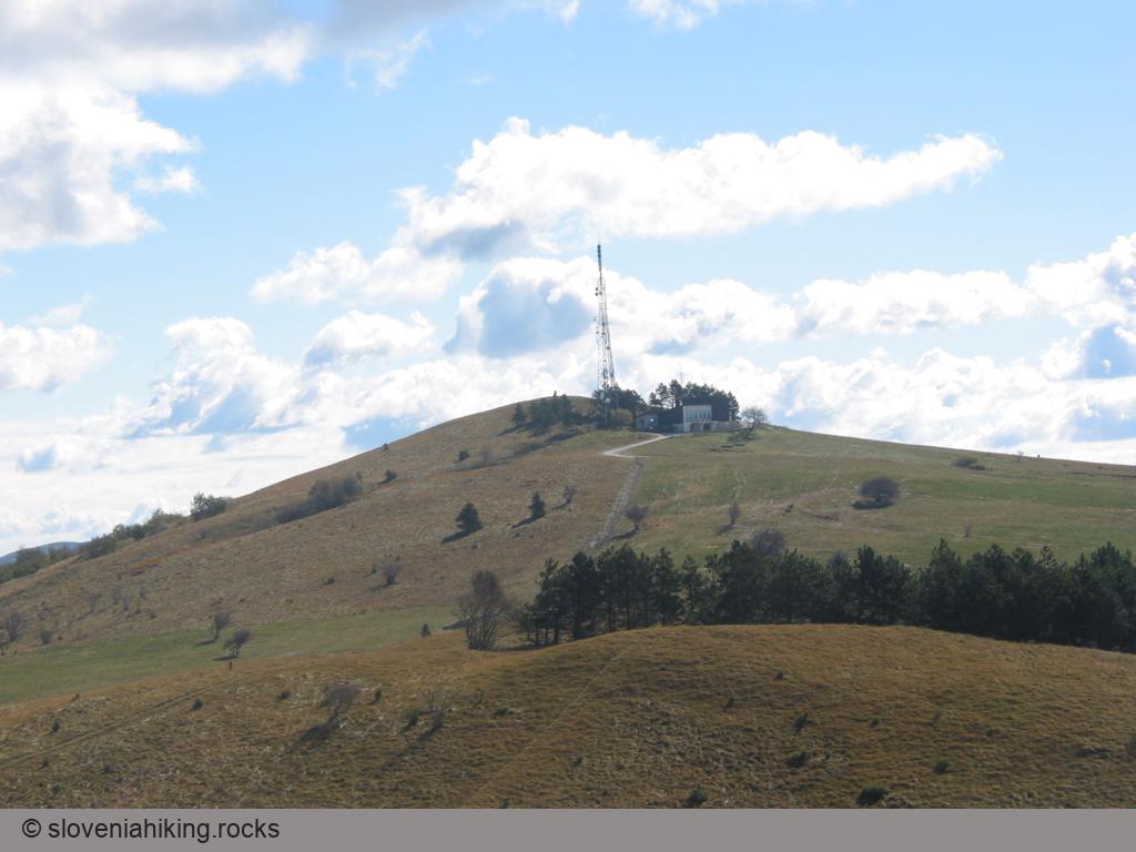
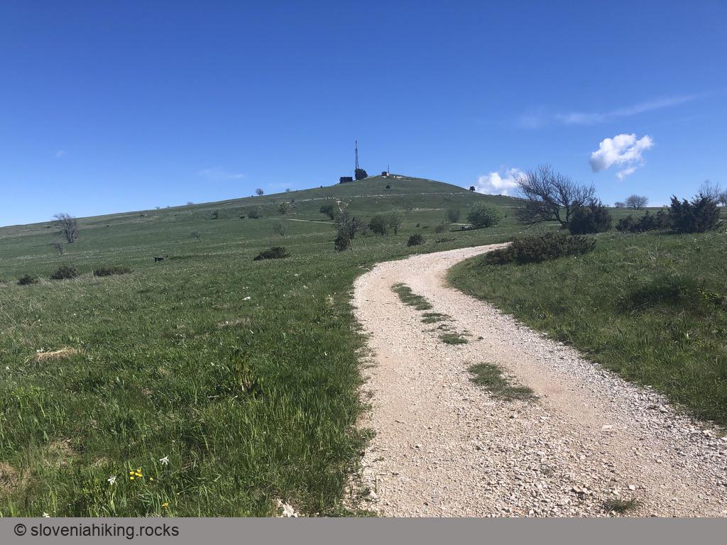
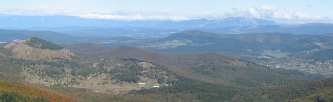
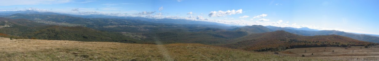
Slavnik is the highest peak of the Slavnik range, the last mountain range before the gentle slopes of Slovenian Istra. It's also the last peak above 1000 meters visited by the Slovenian mountaneering path (a circuitous path that winds its way around across major Slovenian peaks). From its top, you’ll have a magnificent view of Adriatic sea, surrounding hills (including Vremščica and Nanos) as well as the high peaks of the Julian Alps in the distance.
The shortest routes to Slavnik lead from Podgorje, a small karst village south-west of the mountain. From this starting-point you can reach your goal by the Steep path (which deserves its name), the Gentle path (where you hardly even shed a drop of sweat) or an abundance of little paths and cart-tracks which ascend across the slopes of Slavnik.
Views from the Top
Choose a Hiking Path
- Slavnik and Grmada from Podgorje (510 m, 3 hours)
- Slavnik from Markovščina (470 m, 5 hours)
- Slavnik from Podgorje (steep path) (510 m, 2.5 hours)
- Slavnik from Prešnica (520 m, 4 hours)
Other Options