Biking in Slovenia » Slovene Istria » Up, Down and Around the Karst Edge
Karst Edge is the wondrous land where the limestone cliffs of continental Slovenia meet the soft flysch landscape of lower Slovenian Istria. This time we’’ll explore dirt tracks on its easternmost part – from Podgorje to Kavčič.
At a Glance
- Difficulty
- Bad gravel roads and rocky dirt tracks. Wide-tire mountain bike is highly recommended.
- Altitude
- 880 m
- Average time
- 3.5 h
- Elevation gain
- 520 m
- Distance
- 22 km
- Starting point
- Podgorje
- Coordinates
-
Start: 45.531420,13.947151
From Here to There and Anywhere
- Park at the large parking lot in Podgorje.
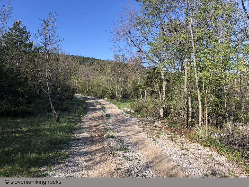
- Going back to the main road, follow the sign for Slavnik, then signs for Kojnik, sending you right onto a gravel road.
- After 1.5 km, the hiking signs point left onto a narrow gravel road. Keep going straight and follow the widest road till the T-junction at 3 km. Turn left.
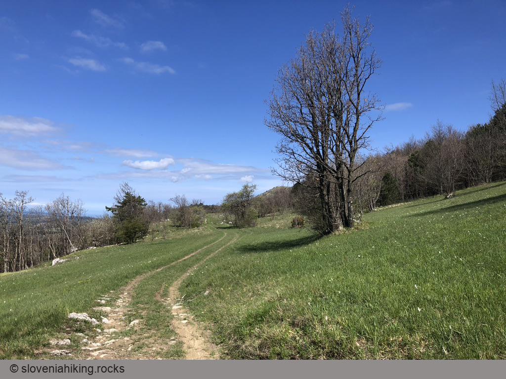
- A bit after that junction, you’ll notice a clearing on your right. You might want to follow it till the Karst Edge and enjoy the view.
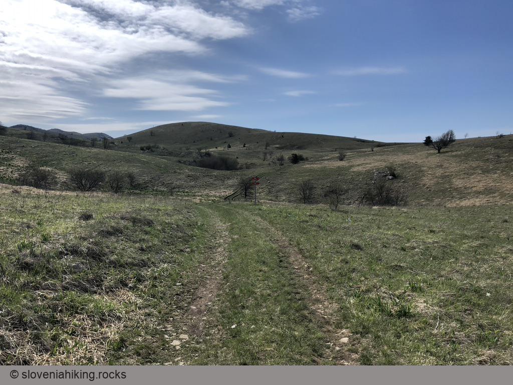
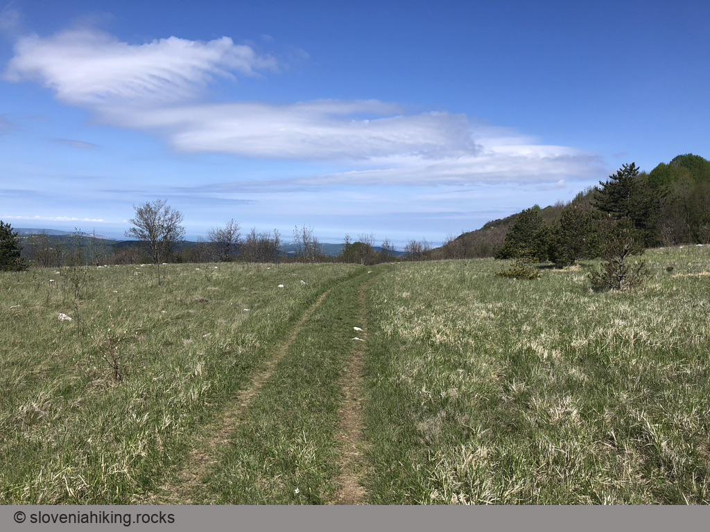
- Go straight until 5.5 km when you literally get out of the woods.
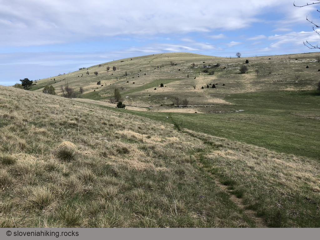
- Follow the dirt road. A bit after the Golič-Lipnik footpath crosses it, you’ll notice tracks going uphill. If you’re a hard-core mountain biker, you might decide to follow them to the top of Kavčič.
- Everyone else should keep biking until you hit the marked footpath going to Kavčič (8.6 km).
- If you feel like going to Kavčič, leave the bike there (you can chain it to the signpost if you’re extra-paranoid) and hike to the top.
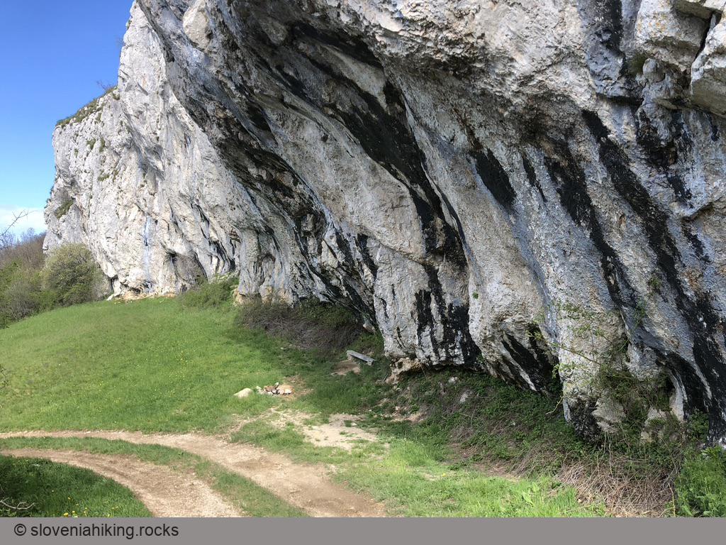
- The dirt road will slowly get better, turn right, and start descending, bringing you to a mandatory pit stop under an overhanging rockface.
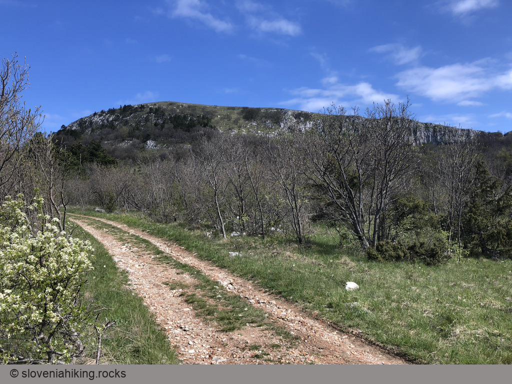
- After a short break, follow the road until 10.3 km, where you turn sharp right onto a narrower dirt trail.
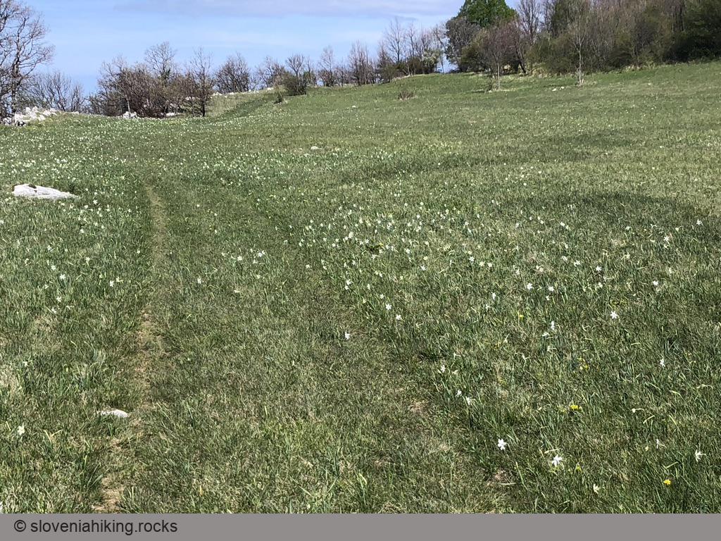
- That trail slowly turns into barely visible tracks on a grassy terrace – definitely the best part of the journey if you like being around wildflowers.
- When you reach the footpath descending from Lipnik, you’ll enter the technically exciting part of the ride: descent on a narrow rocky dirt trail toward the former train station above Zazid.
- When you reach the railway, take the uphill dirt road toward Jampšnik/Kojnik.
- After a few invigorating uphill struggles, you’ll reach the gravel road at Brežec.
- Follow the gravel road to the next T-junction (18.1 km) and turn left.
- From that point on, every gravel road will lead you to Podgorje as long as you don’t cross the railway. If you veer toward the right, you’ll end at the parking lot; if you go more toward the left, you might end at the local inn. The choice is yours ;)
Map of the Route
The map shows the path we took as recorded by the GPS receiver. Never trust a GPS track wholeheartedly; rely on your senses and maps.