Hiking in Slovenia » Kamnik-Savinja Alps » Goli vrh near Jezersko
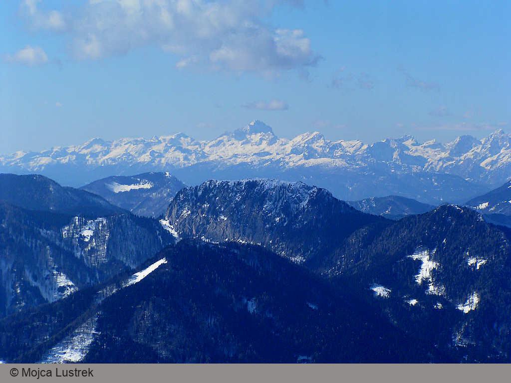
Goli Vrh is one of the lower peaks in the Slovenia-Austria border ridge east of Jezersko border crossing. The path leading to the top is one of the steepest paths we’ve encountered in years, but the lovely views of Jezersko, surrounding mountains, Karavanke ranges, and Austrian peaks are well worth the effort.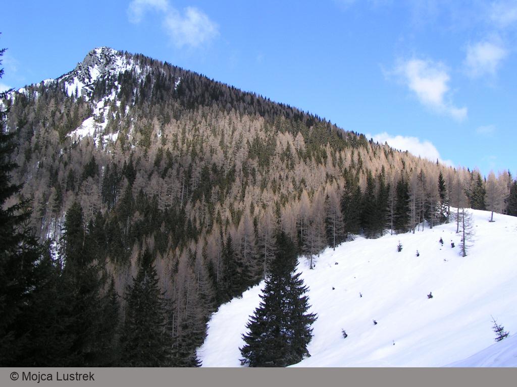
At a Glance
- Difficulty
- Steep well-marked footpath through a spruce forest
- Altitude
- 1787 m
- Average time
- 4.5 h
- Elevation gain
- 780 m
- Coordinates
-
Start: 46.384607,14.536531
Peak: 46.397913, 14.546991
In a Nutshell
- Hike to Jenkova Planina. There’s a gravel road leading to that saddle from the Austrian side, so you might be able to bike there.
- Follow the signs for Goli Vrh onto a narrow footpath crossing the meadow (the first waymarks appear at the forest edge)
- It’s easy to get lost in a spruce forest – be observant and always keep track of the waymarks.
- After 45 minutes of huffing and puffing over a steep slope, you’ll reach the meadows around the peak. Rest and enjoy the views!
Note:
- The starting coordinates point to the summer parking lot. If you plan to hike to Goli Vrh in winter you’ll probably have to stop earlier than that, adding at least 30 minutes hike time and ~80 m elevation gain.
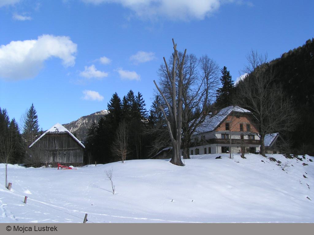
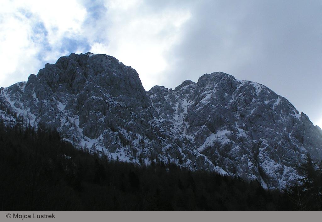
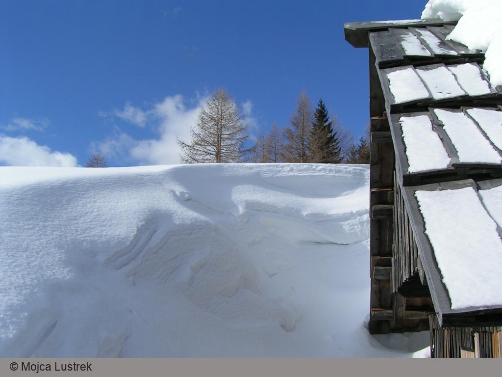
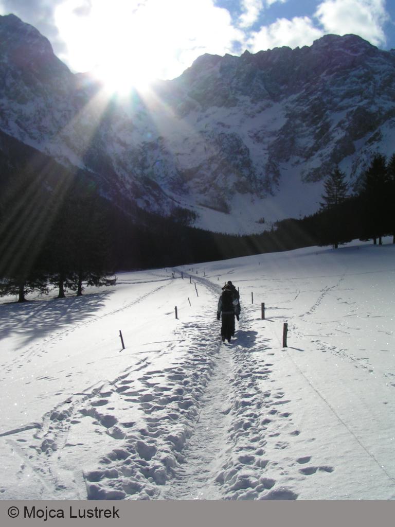
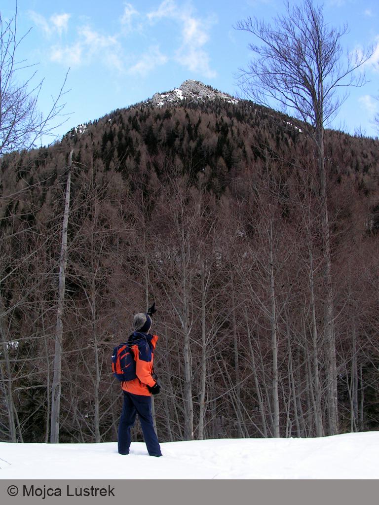
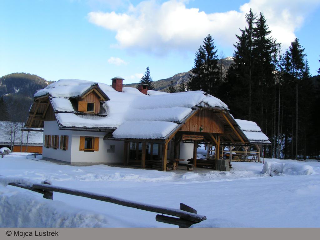
Photo Gallery
Map of the Route
The map shows the path we took as recorded by the GPS receiver. Never trust a GPS track wholeheartedly; rely on your senses and maps.