Hiking in Slovenia » Kamnik-Savinja Alps » Jenkova Planina
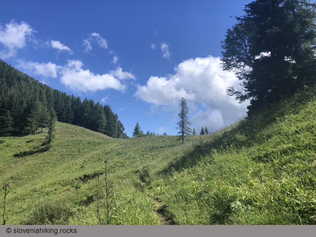
Jenkova Planina is a small meadow on a saddle in a ridge running along the Slovenian-Austrian border with a nice view of the highest peaks around Jezersko. While the hike tends to be a bit boring, you’ll appreciate the dark forest you’re walking through in the summer heat.
At a Glance
- Difficulty
- Steep well-marked footpath
- Altitude
- 1495 m
- Average time
-
Ascent: 1.5 h
Descent: 1 h
Total: 3 h
- Elevation gain
- 490 m
- Coordinates
-
Start: 46.384607,14.536531
Peak: 46.393235,14.551851
Three Easy Steps to Get There
- Park at a large parking lot at the end of Ravenska Kočna (a glacial side valley east of Jezersko).
- Follow signs for Goli Vrh/Velika Baba onto a gravel road that slowly transforms into an ever-narrower dirt road.
- Watch out for red arrows sending you right onto a wide, steep footpath that will safely bring you to your destination.
- Enjoy the view!
Photo Gallery
Map of the Route
The map shows the path we took as recorded by the GPS receiver. Never trust a GPS track wholeheartedly; rely on your senses and maps.